Elevation of Luby Brown Rd, Westmoreland, TN, USA
Location: United States > Tennessee > Sumner County > Westmoreland >
Longitude: -86.313796
Latitude: 36.5902249
Elevation: 253m / 830feet
Barometric Pressure: 98KPa
Elevation Map:
Satellite Map:
Related Photos:
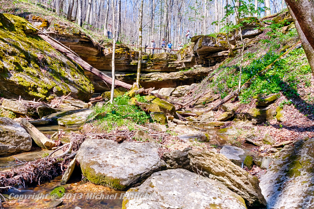
Taylor Hollow State Natural Area - April 13, 2013
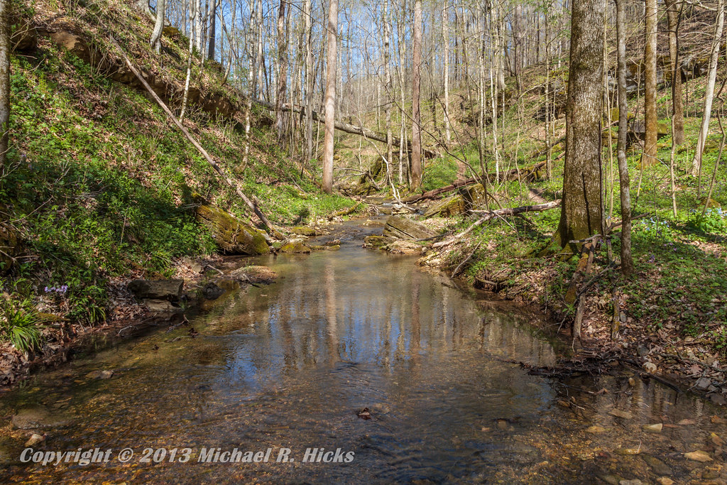
Taylor Hollow State Natural Area - April 13, 2013
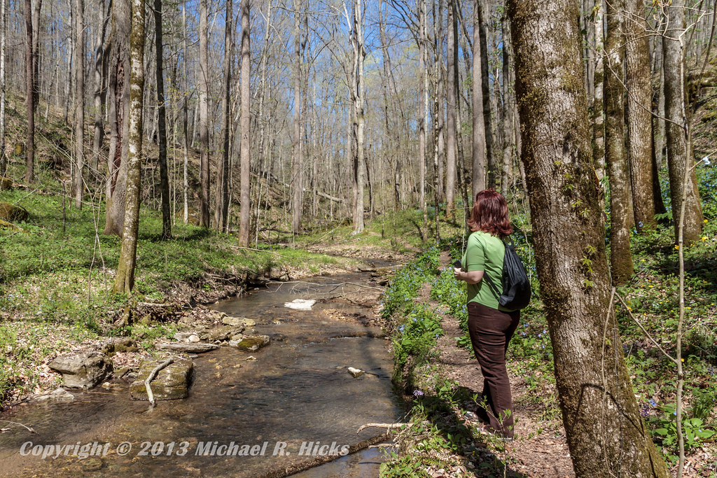
Taylor Hollow State Natural Area - April 13, 2013
Pilar's pets
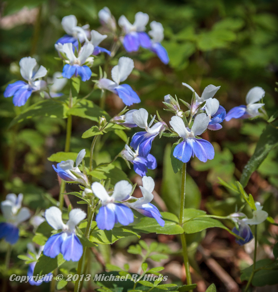
Blue-Eyed Mary
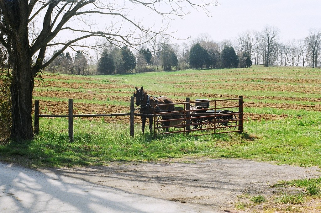
horse and buggy
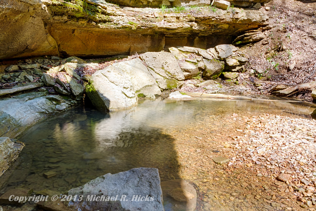
Taylor Hollow State Natural Area - April 13, 2013

Jackie & Pisco
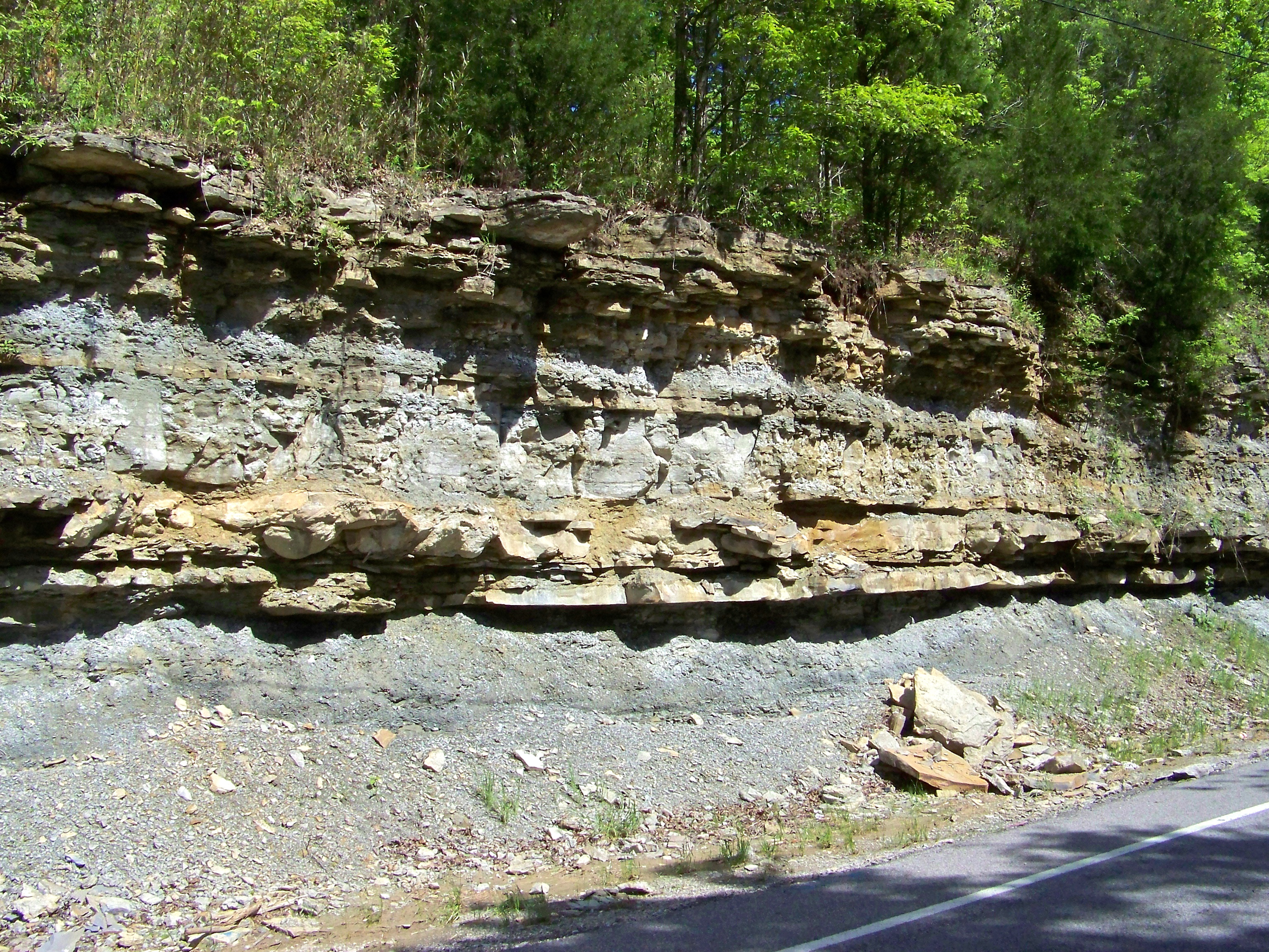
Road Cut

IMG_4951

IMG_4952

IMG_4958

IMG_4960

IMG_4961

IMG_4962

IMG_4963

IMG_4964

IMG_4965

IMG_4967

IMG_4968

IMG_4970
IMG_4972

IMG_4973

IMG_4975

IMG_4976
IMG_4977

IMG_4978

IMG_6816

IMG_6811

IMG_6810
Topographic Map of Luby Brown Rd, Westmoreland, TN, USA
Find elevation by address:

Places near Luby Brown Rd, Westmoreland, TN, USA:
Ada Coats Road
Nubia Rd, Westmoreland, TN, USA
420 Henry Harris Rd
1105 Gaines Hill Rd
2915 Oak Grove Church Rd
Thompson Rd, Westmoreland, TN, USA
Adolphus
Westmoreland, TN, USA
901-907
121 Martin Rd
5722 Hauskins Ln
239 Martin Chapel Rd
Rocky Mound Rd, Westmoreland, TN, USA
9095 Scottsville Rd
4538 Rocky Mound Rd
Scottsville Rd, Franklin, KY, USA
State Highway 3500
323 Reeder School Rd
Hack Brown Rd, Franklin, KY, USA
Recent Searches:
- Elevation of Corso Fratelli Cairoli, 35, Macerata MC, Italy
- Elevation of Tallevast Rd, Sarasota, FL, USA
- Elevation of 4th St E, Sonoma, CA, USA
- Elevation of Black Hollow Rd, Pennsdale, PA, USA
- Elevation of Oakland Ave, Williamsport, PA, USA
- Elevation of Pedrógão Grande, Portugal
- Elevation of Klee Dr, Martinsburg, WV, USA
- Elevation of Via Roma, Pieranica CR, Italy
- Elevation of Tavkvetili Mountain, Georgia
- Elevation of Hartfords Bluff Cir, Mt Pleasant, SC, USA