Elevation of Henry Harris Rd, Westmoreland, TN, USA
Location: United States > Tennessee > Sumner County > Westmoreland >
Longitude: -86.271239
Latitude: 36.5747039
Elevation: 273m / 896feet
Barometric Pressure: 98KPa
Elevation Map:
Satellite Map:
Related Photos:

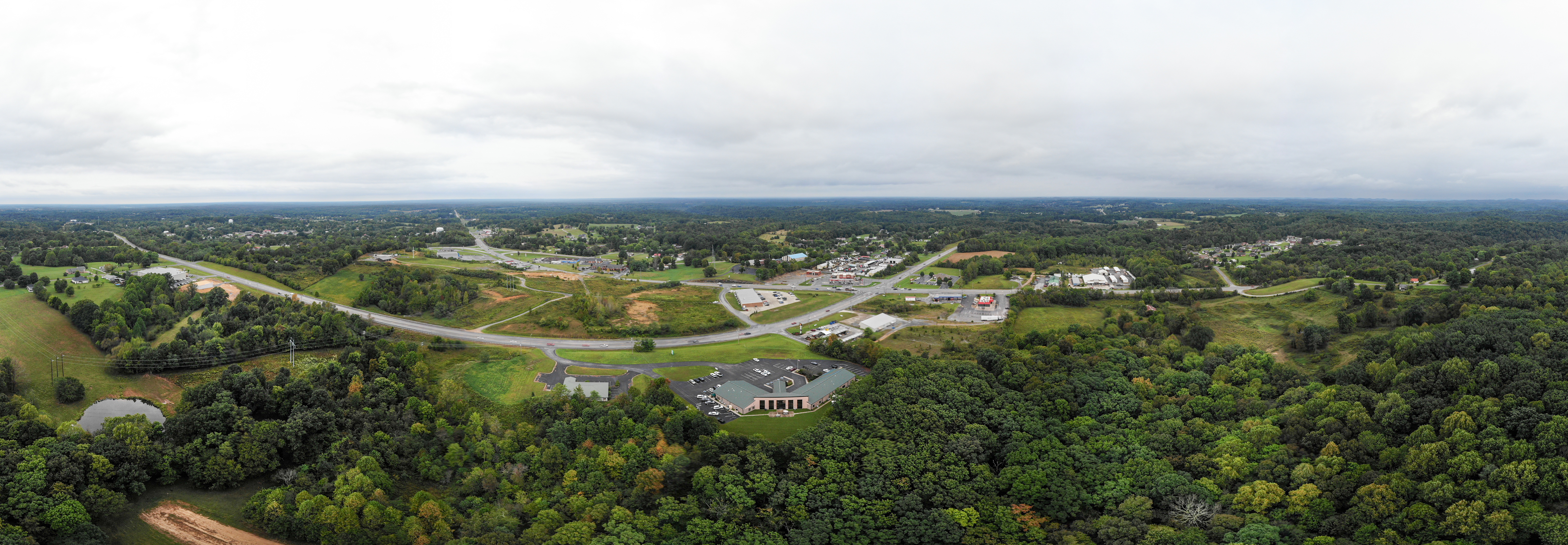
20180926-RD-LSC-0172
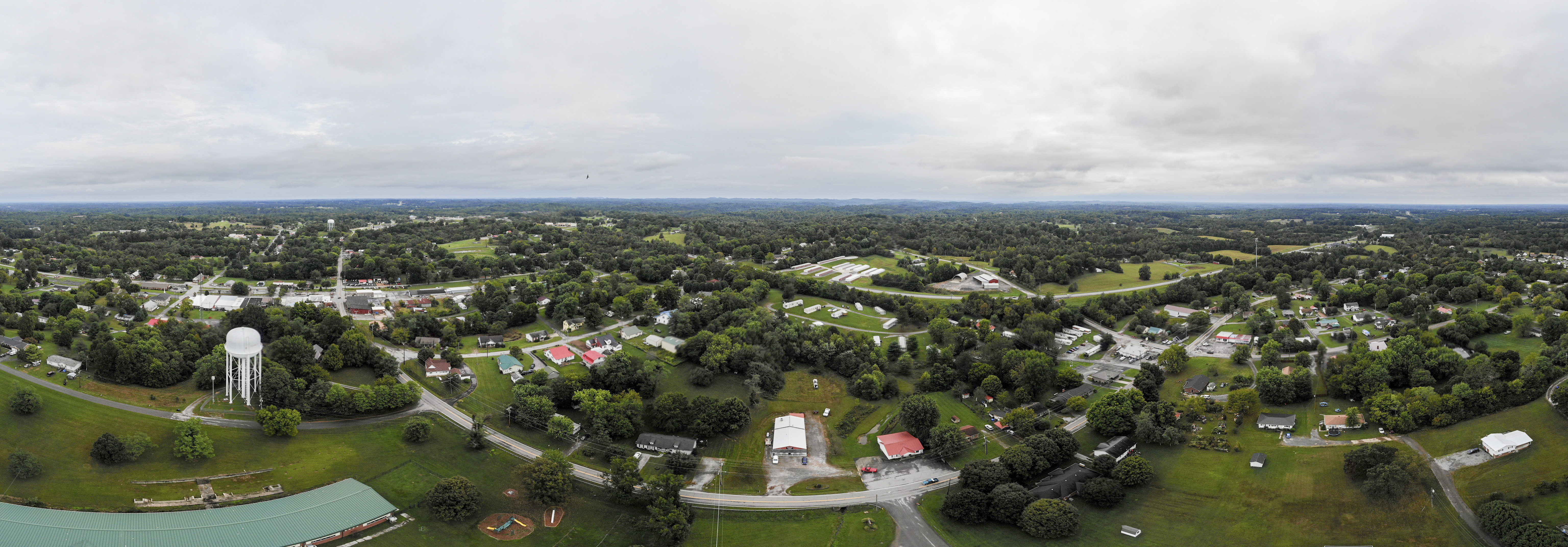
20180926-RD-LSC-0118
20180926-RD-LSC-0173
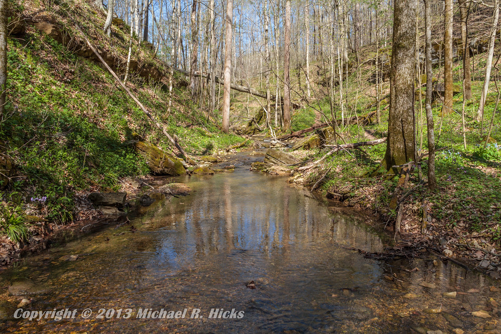
Taylor Hollow State Natural Area - April 13, 2013

Haunted house
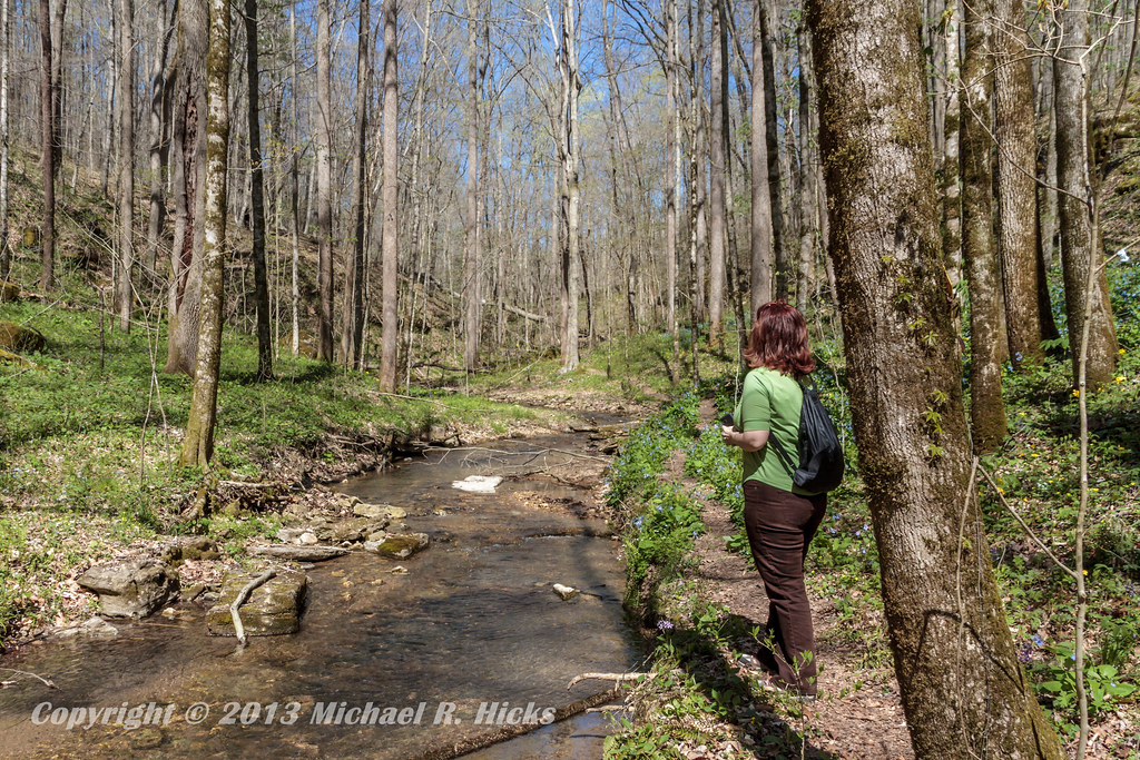
Taylor Hollow State Natural Area - April 13, 2013

Blue-Eyed Mary

Pilar's pets

Jackie & Pisco
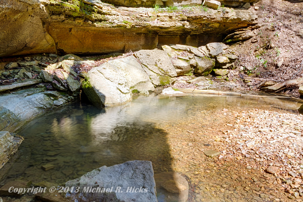
Taylor Hollow State Natural Area - April 13, 2013
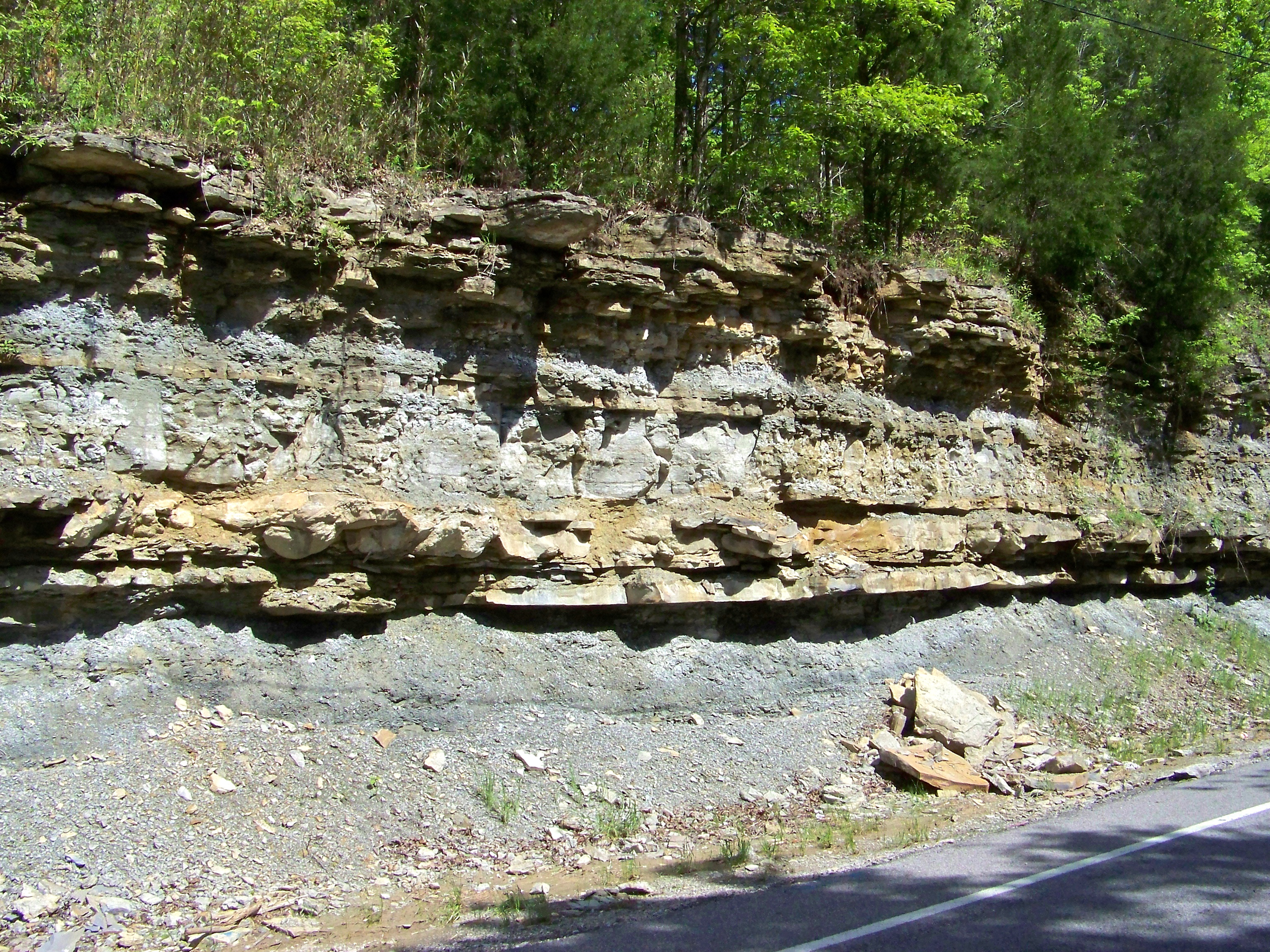
Road Cut
Topographic Map of Henry Harris Rd, Westmoreland, TN, USA
Find elevation by address:

Places near Henry Harris Rd, Westmoreland, TN, USA:
Luby Brown Rd, Westmoreland, TN, USA
Ada Coats Road
Westmoreland, TN, USA
1105 Gaines Hill Rd
Adolphus
Nubia Rd, Westmoreland, TN, USA
5722 Hauskins Ln
2915 Oak Grove Church Rd
4538 Rocky Mound Rd
Rocky Mound Rd, Westmoreland, TN, USA
Thompson Rd, Westmoreland, TN, USA
State Highway 3500
901-907
121 Martin Rd
239 Martin Chapel Rd
9095 Scottsville Rd
Scottsville Rd, Franklin, KY, USA
323 Reeder School Rd
Hack Brown Rd, Franklin, KY, USA
Recent Searches:
- Elevation of Foligno, Province of Perugia, Italy
- Elevation of Blauwestad, Netherlands
- Elevation of Bella Terra Blvd, Estero, FL, USA
- Elevation of Estates Loop, Priest River, ID, USA
- Elevation of Woodland Oak Pl, Thousand Oaks, CA, USA
- Elevation of Brownsdale Rd, Renfrew, PA, USA
- Elevation of Corcoran Ln, Suffolk, VA, USA
- Elevation of Mamala II, Sariaya, Quezon, Philippines
- Elevation of Sarangdanda, Nepal
- Elevation of 7 Waterfall Way, Tomball, TX, USA