Elevation of Adolphus, KY, USA
Location: United States > Kentucky > Allen County >
Longitude: -86.261377
Latitude: 36.6517098
Elevation: 196m / 643feet
Barometric Pressure: 99KPa
Elevation Map:
Satellite Map:
Related Photos:

Partial Solar Eclipse with Sun Spots

Totality with Solar Prominences
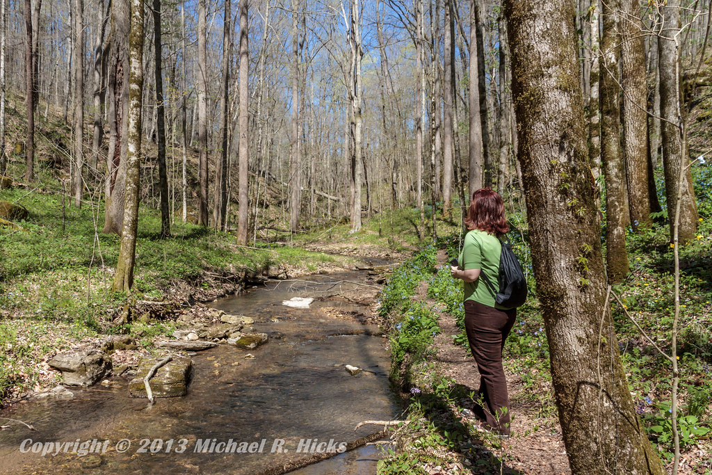
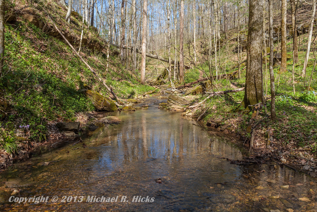
Taylor Hollow State Natural Area - April 13, 2013
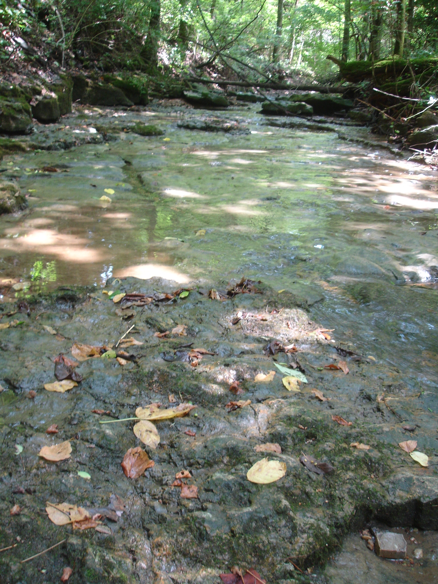
solid rock creek bed

20180926-RD-LSC-0172
20180926-RD-LSC-0118
20180926-RD-LSC-0173
Taylor Hollow State Natural Area - April 13, 2013

Haunted house

クリスマス2013

drive-thru awe

Blue-Eyed Mary
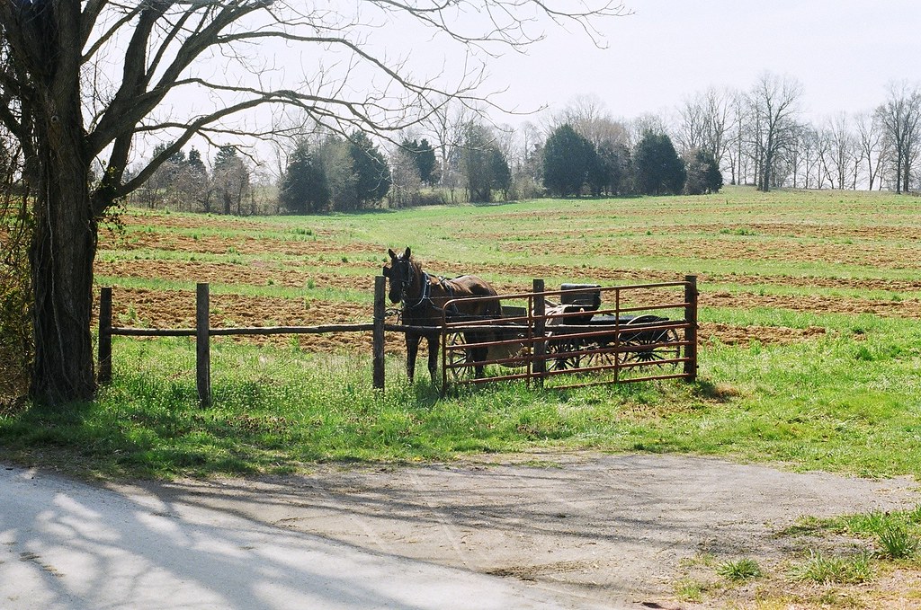
horse and buggy

Pilar's pets

Jackie & Pisco

Taylor Hollow State Natural Area - April 13, 2013
Topographic Map of Adolphus, KY, USA
Find elevation by address:

Places near Adolphus, KY, USA:
1105 Gaines Hill Rd
Ada Coats Road
Westmoreland, TN, USA
420 Henry Harris Rd
State Highway 3500
Luby Brown Rd, Westmoreland, TN, USA
Nubia Rd, Westmoreland, TN, USA
5722 Hauskins Ln
Rocky Mound Rd, Westmoreland, TN, USA
4538 Rocky Mound Rd
Thompson Rd, Westmoreland, TN, USA
2915 Oak Grove Church Rd
901-907
9095 Scottsville Rd
Scottsville Rd, Franklin, KY, USA
323 Reeder School Rd
Hack Brown Rd, Franklin, KY, USA
239 Martin Chapel Rd
121 Martin Rd
Recent Searches:
- Elevation of Elwyn Dr, Roanoke Rapids, NC, USA
- Elevation of Congressional Dr, Stevensville, MD, USA
- Elevation of Bellview Rd, McLean, VA, USA
- Elevation of Stage Island Rd, Chatham, MA, USA
- Elevation of Shibuya Scramble Crossing, 21 Udagawacho, Shibuya City, Tokyo -, Japan
- Elevation of Jadagoniai, Kaunas District Municipality, Lithuania
- Elevation of Pagonija rock, Kranto 7-oji g. 8"N, Kaunas, Lithuania
- Elevation of Co Rd 87, Jamestown, CO, USA
- Elevation of Tenjo, Cundinamarca, Colombia
- Elevation of Côte-des-Neiges, Montreal, QC H4A 3J6, Canada