Elevation of Thola, Oxley Township, AR, USA
Location: United States > Arkansas > Searcy County >
Longitude: -92.429325
Latitude: 35.8867418
Elevation: 310m / 1017feet
Barometric Pressure: 98KPa
Elevation Map:
Satellite Map:
Related Photos:
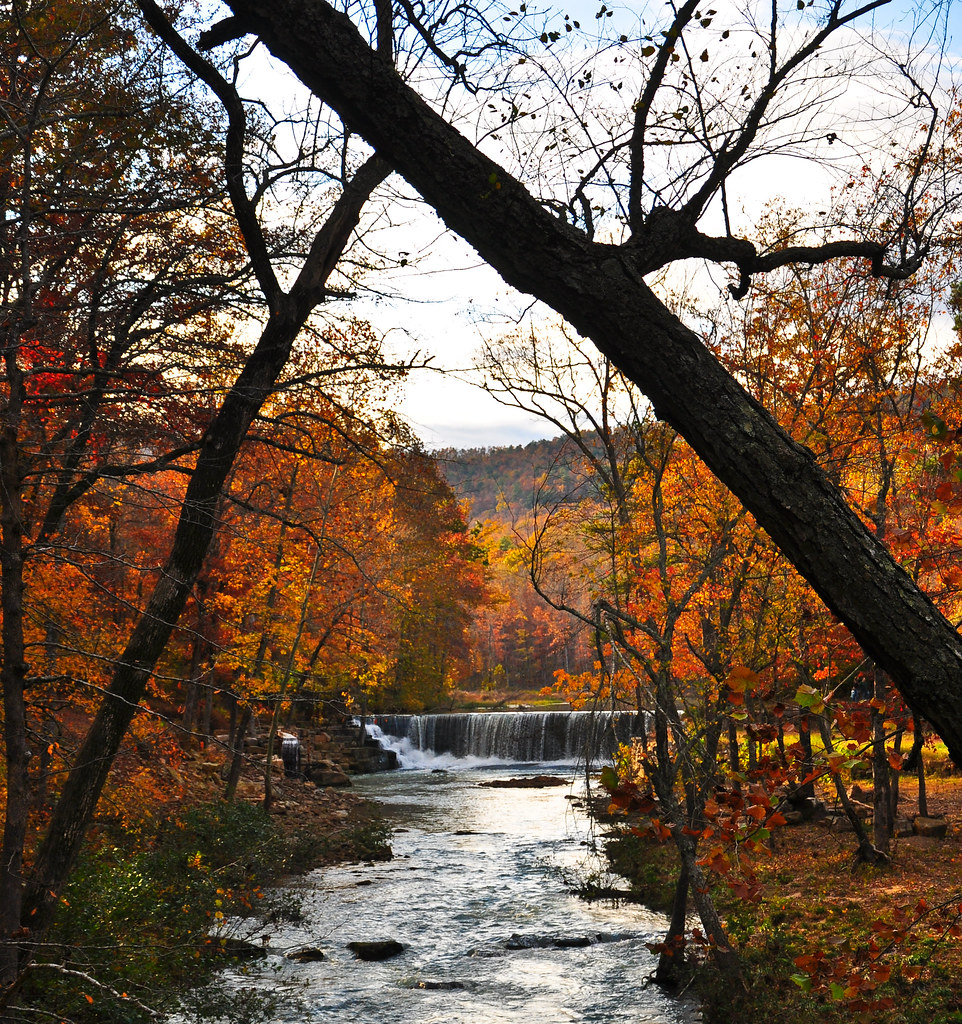
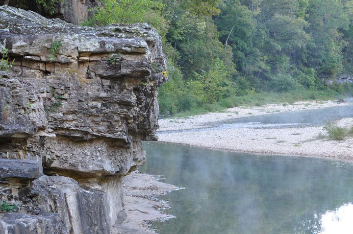
Long distance view upstream
Little Waterfall between Clinton and Leslie
Fall is almost over here
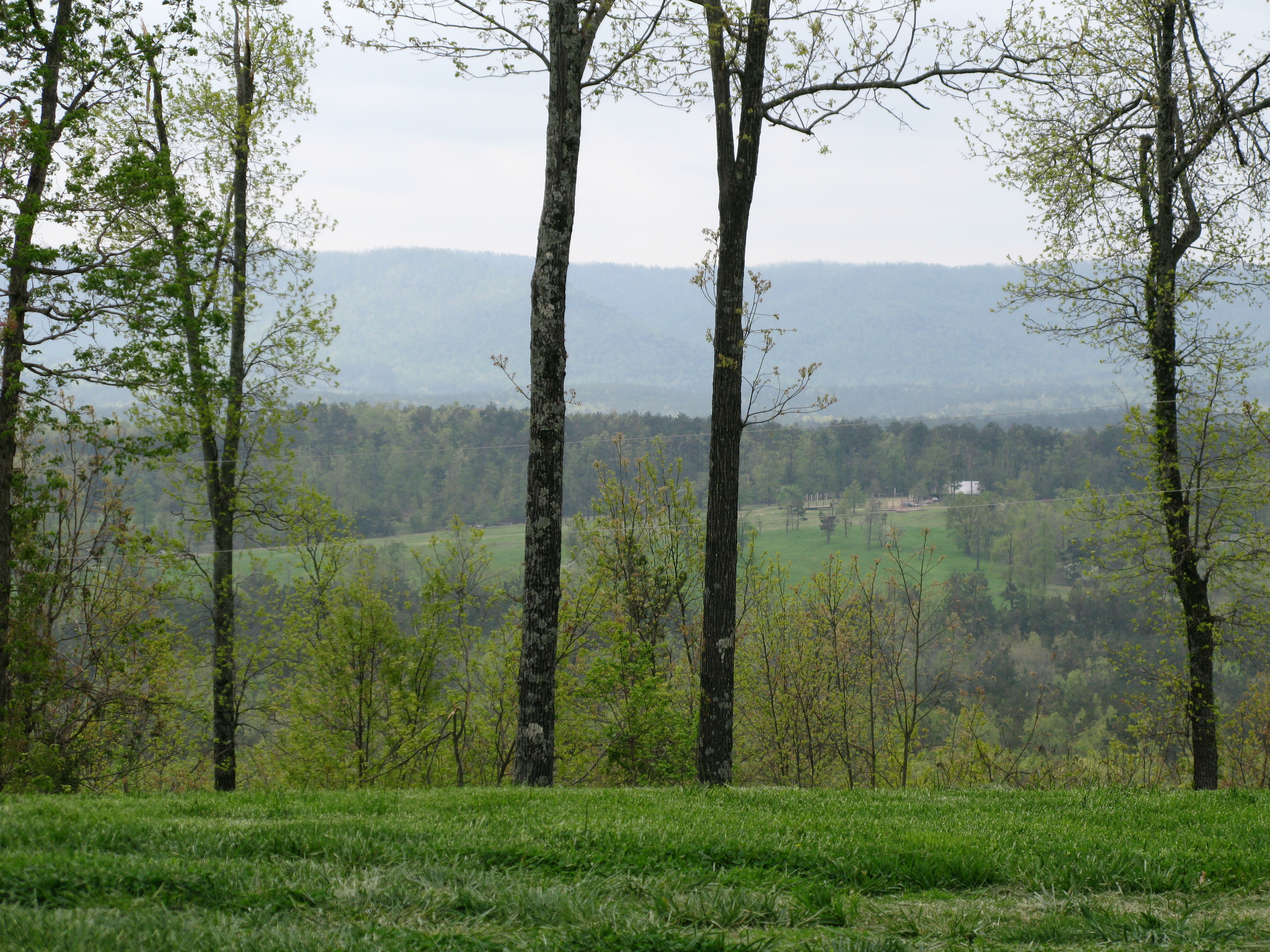
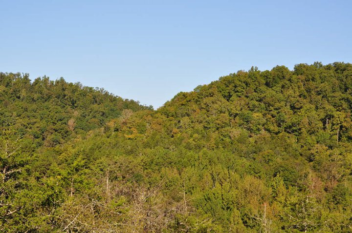
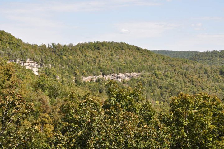
View of the Ozarks

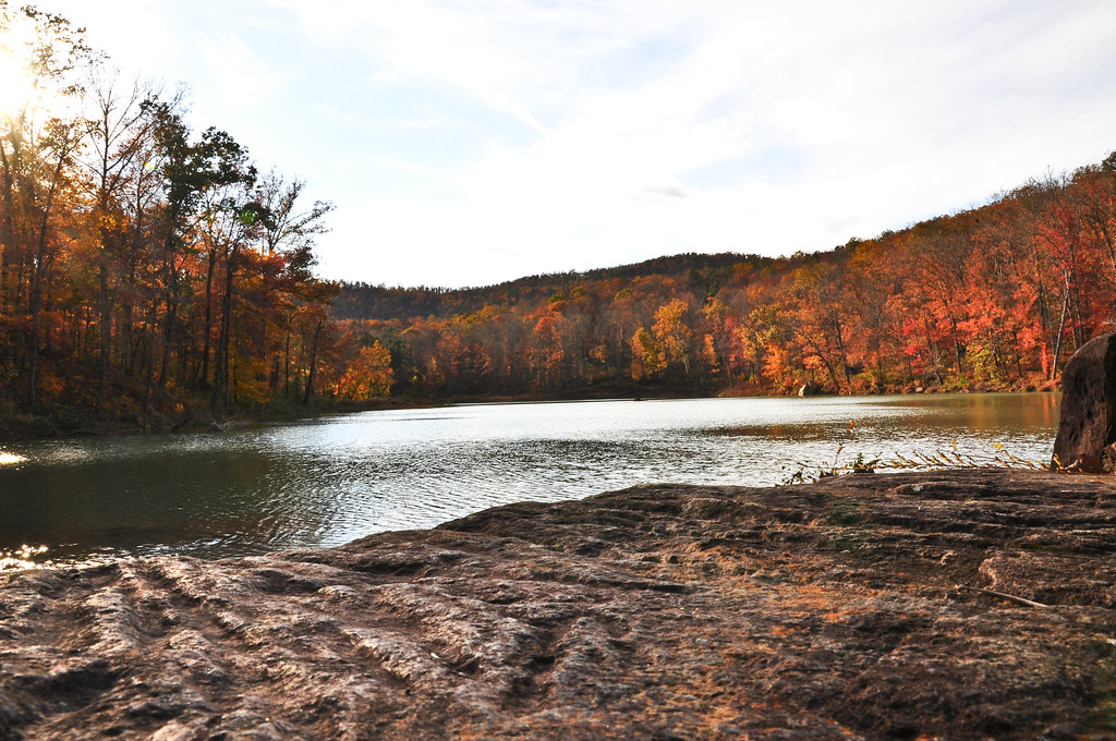
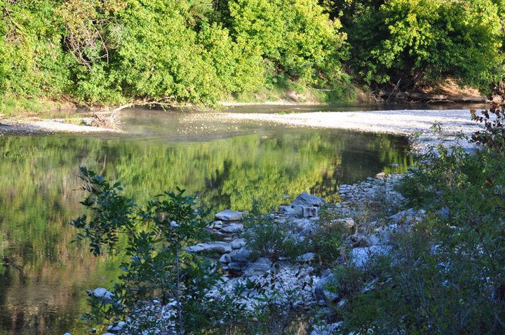
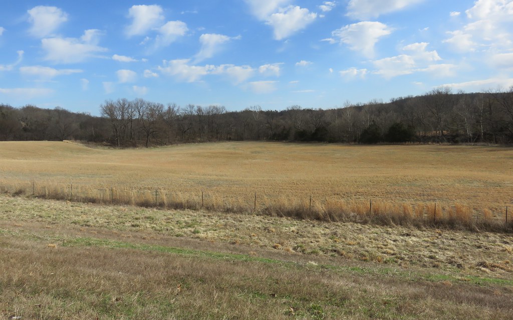
Big Flat

2010 SUMC Women's Retreat - Outdoors
2010 SUMC Women's Retreat - Outdoors

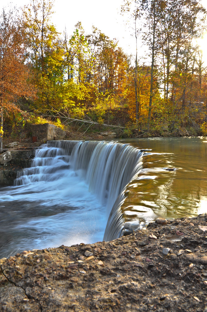
Leslie's waterfall
2010 SUMC Women's Retreat - Outdoors
2010 SUMC Women's Retreat - Outdoors
2010 SUMC Women's Retreat - Outdoors

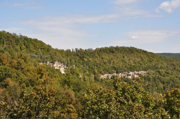
Arkansas Ozarks Landscape (Stone County, Arkansas)
2010 SUMC Women's Retreat - Outdoors
Arkansas Ozarks Landscape (Stone County, Arkansas)
Topographic Map of Thola, Oxley Township, AR, USA
Find elevation by address:

Places near Thola, Oxley Township, AR, USA:
Locust Grove Township
Alco Mountain
Alco
Farris Township
32270 Ar-263
34425 Ar-263
Timbo Township
AR-, Onia, AR, USA
Onia
Timbo
AR-66, Timbo, AR, USA
Big Flat
Sylamore Township
Fifty-six
103 Sierra Baca Ln
Northwest Township
AR-14, Fifty-Six, AR, USA
Rowland Cave Road
AR-87, Mountain View, AR, USA
177 J W Dr
Recent Searches:
- Elevation of Pinewood Dr, New Bern, NC, USA
- Elevation of Mountain View, CA, USA
- Elevation of Foligno, Province of Perugia, Italy
- Elevation of Blauwestad, Netherlands
- Elevation of Bella Terra Blvd, Estero, FL, USA
- Elevation of Estates Loop, Priest River, ID, USA
- Elevation of Woodland Oak Pl, Thousand Oaks, CA, USA
- Elevation of Brownsdale Rd, Renfrew, PA, USA
- Elevation of Corcoran Ln, Suffolk, VA, USA
- Elevation of Mamala II, Sariaya, Quezon, Philippines