Elevation of Big Flat, AR, USA
Location: United States > Arkansas > Baxter County > Big Flat Township >
Longitude: -92.404325
Latitude: 36.005073
Elevation: 377m / 1237feet
Barometric Pressure: 97KPa
Elevation Map:
Satellite Map:
Related Photos:

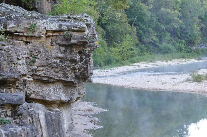
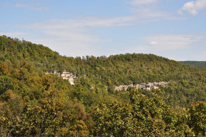
Buffalo Bluff
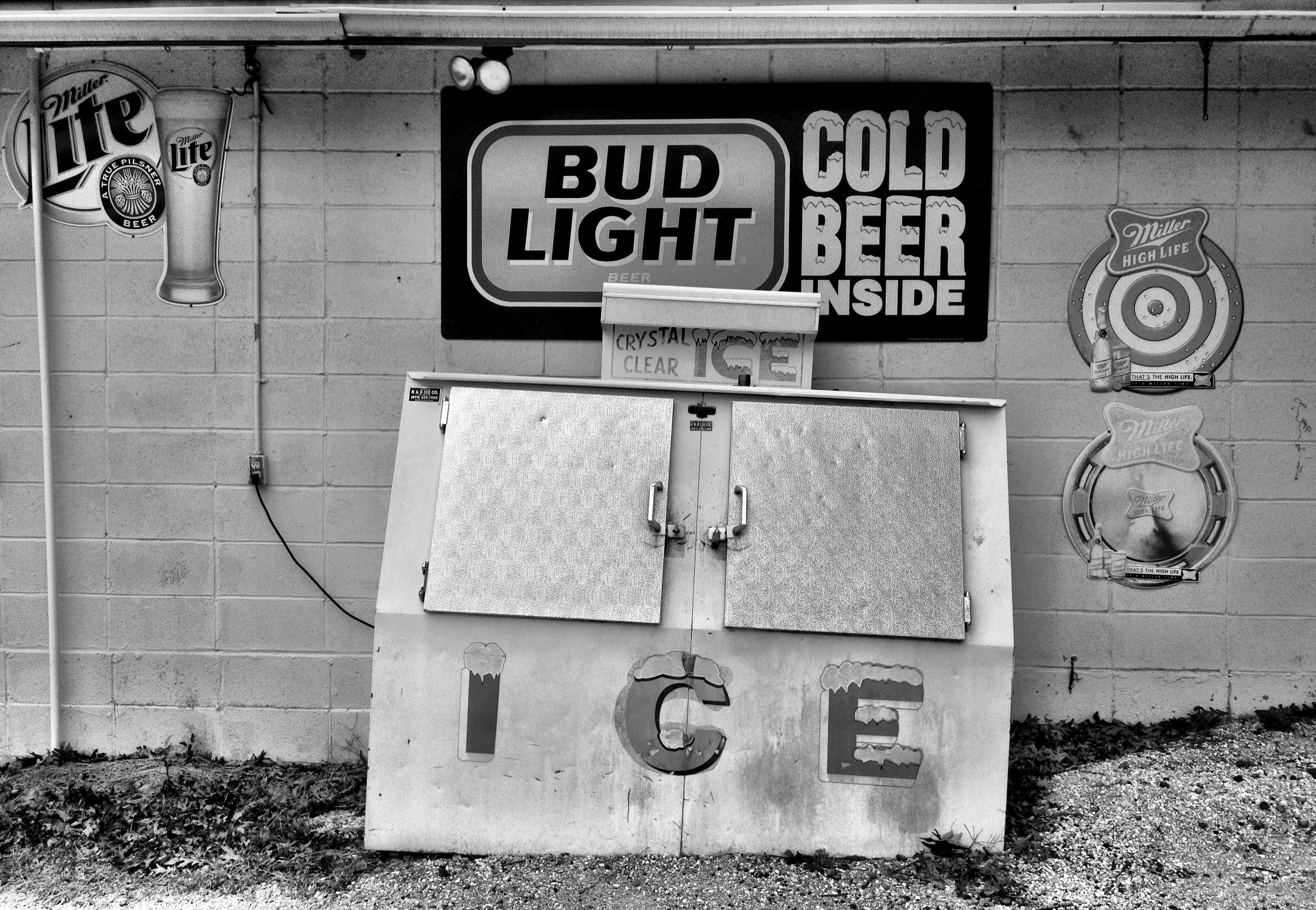
county line liquor store
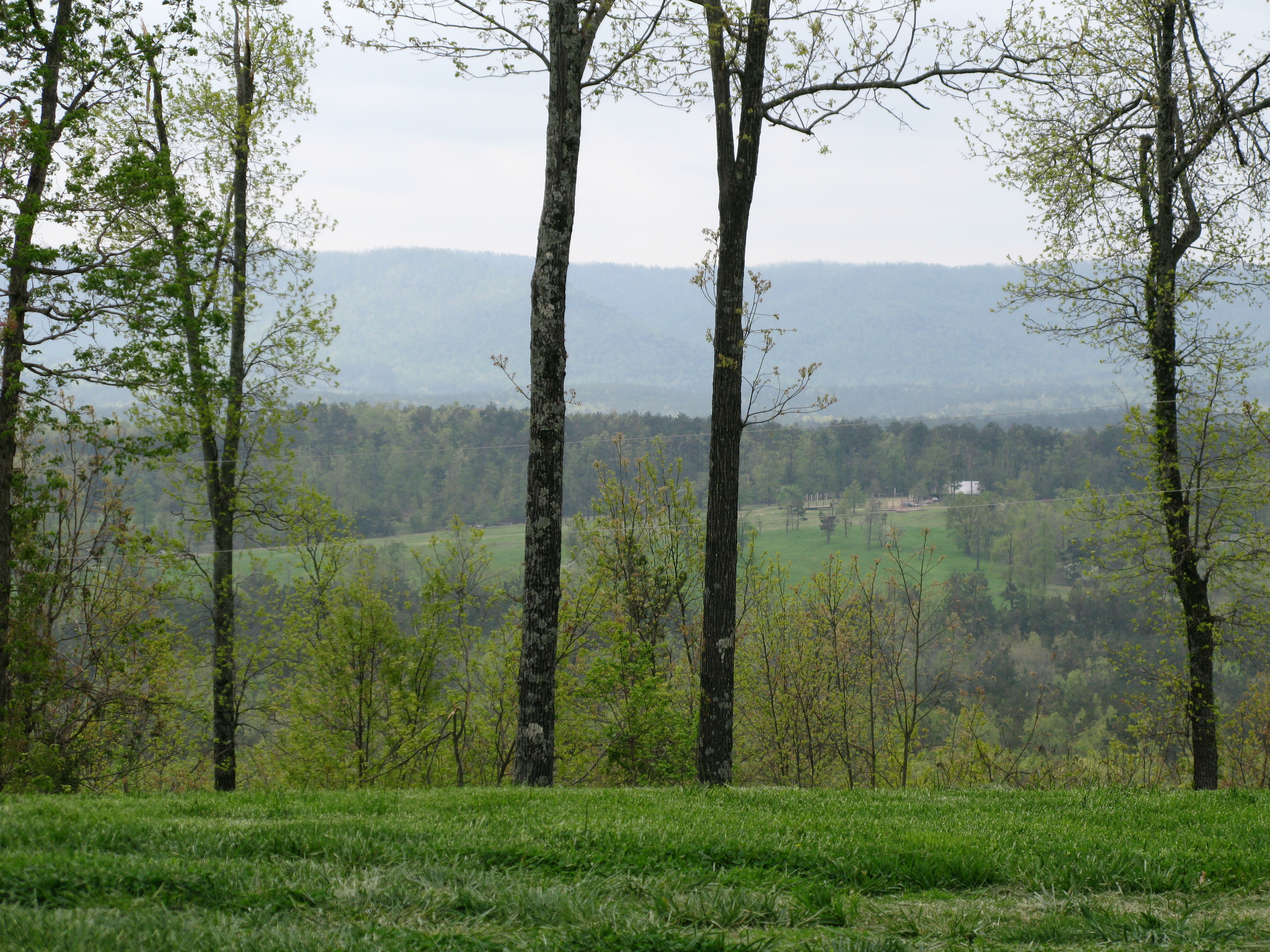
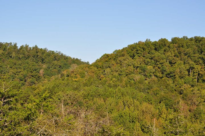
View of the Ozarks
Gunner Pool

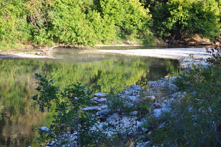
Buffalo River - Tony Bend
Gunner Pool

2010 SUMC Women's Retreat - Outdoors
2010 SUMC Women's Retreat - Outdoors
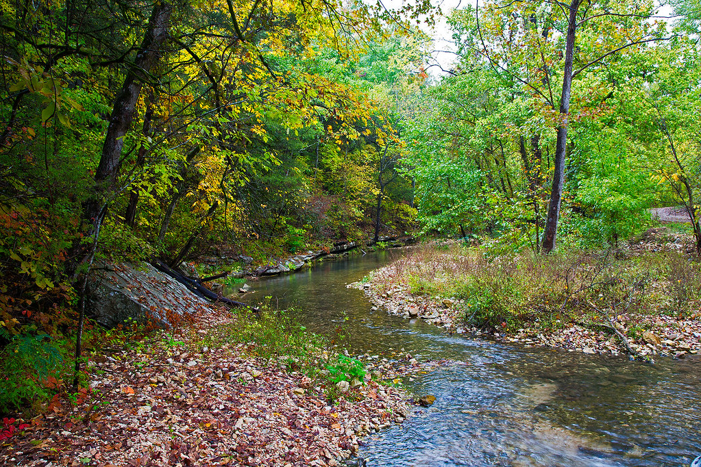
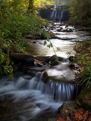
Roasting Ear Creek
2010 SUMC Women's Retreat - Outdoors

Buffalo River Arkansas 2013

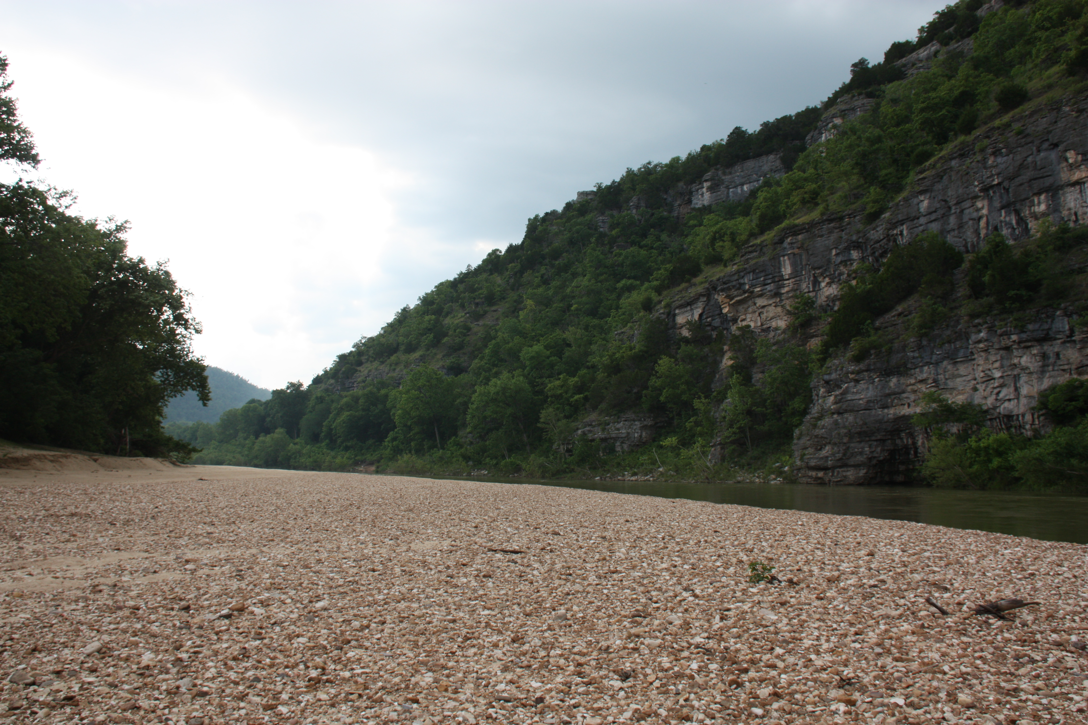
Clear, still water of the Buffalo National River
Buffalo River Float - May 2009

Buffalo River Arkansas 2013

As the sun rises I do likewise
2010 SUMC Women's Retreat - Outdoors
2010 SUMC Women's Retreat - Outdoors
Topographic Map of Big Flat, AR, USA
Find elevation by address:

Places near Big Flat, AR, USA:
34425 Ar-263
32270 Ar-263
Farris Township
Locust Grove Township
AR-, Onia, AR, USA
Onia
Thola
Alco
Alco Mountain
Timbo Township
Timbo
Northwest Township
AR-66, Timbo, AR, USA
Sylamore Township
Fifty-six
AR-14, Fifty-Six, AR, USA
Rowland Cave Road
103 Sierra Baca Ln
AR-87, Mountain View, AR, USA
177 J W Dr
Recent Searches:
- Elevation of Kingsfield St, Castle Rock, CO, USA
- Elevation of AMELIA CT HSE, VA, USA
- Elevation of Abbey Dr, Virginia Beach, VA, USA
- Elevation of Brooks Lp, Spearfish, SD, USA
- Elevation of Panther Dr, Maggie Valley, NC, USA
- Elevation of Jais St - Wadi Shehah - Ras al Khaimah - United Arab Emirates
- Elevation of Shawnee Avenue, Shawnee Ave, Easton, PA, USA
- Elevation of Scenic Shore Dr, Kingwood Area, TX, USA
- Elevation of W Prive Cir, Delray Beach, FL, USA
- Elevation of S Layton Cir W, Layton, UT, USA