Elevation of Farris Township, AR, USA
Location: United States > Arkansas > Stone County >
Longitude: -92.371490
Latitude: 35.946332
Elevation: 311m / 1020feet
Barometric Pressure: 98KPa
Elevation Map:
Satellite Map:
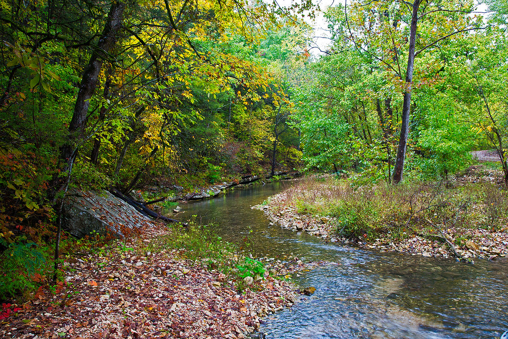
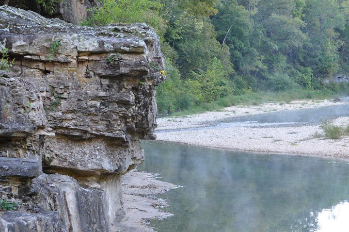
Related Photos:

Gunner Pool - Infrared
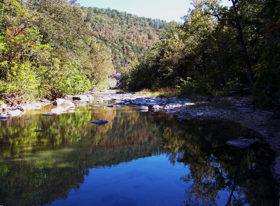
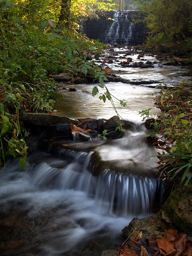
Sylamore Creek
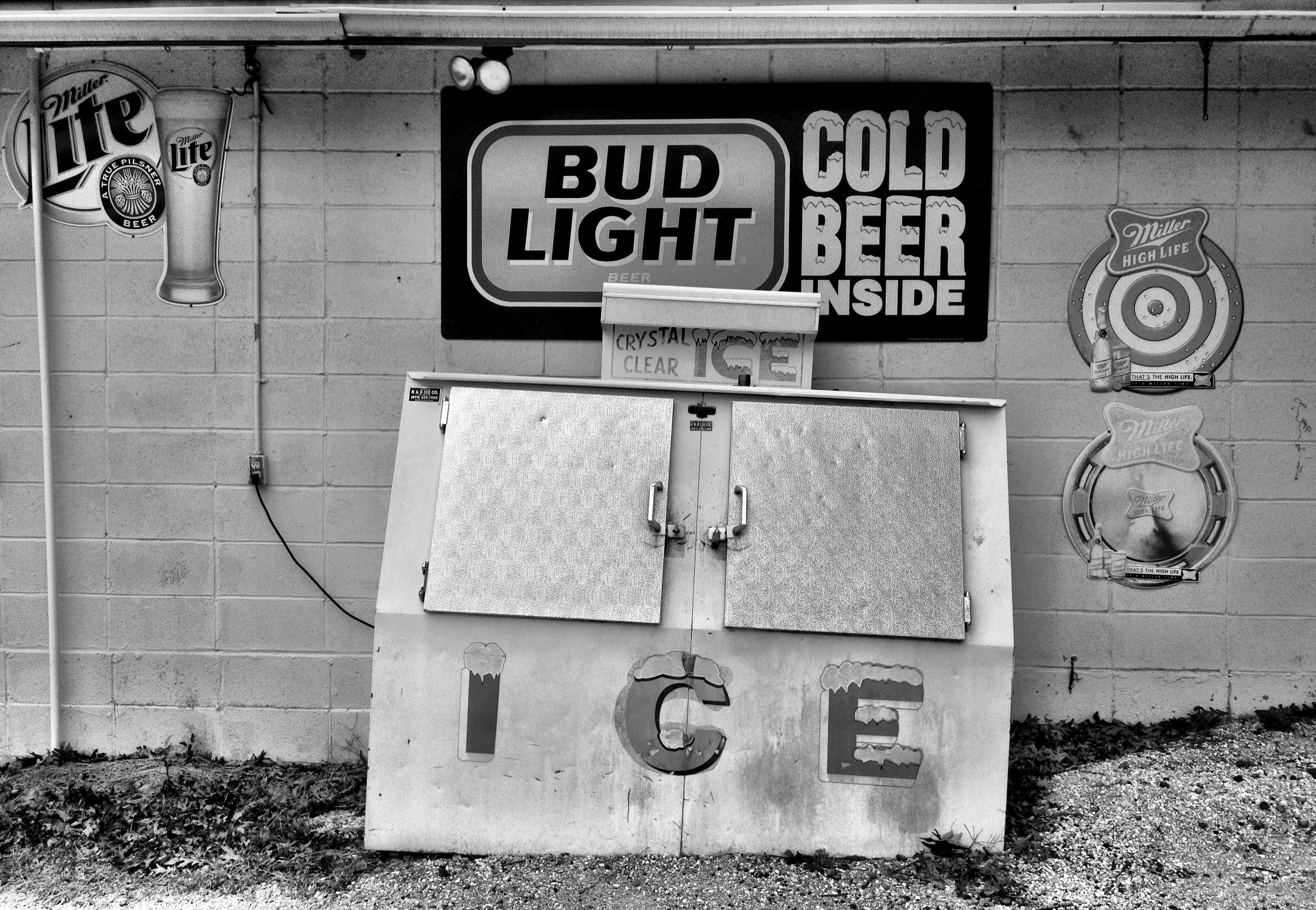
county line liquor store
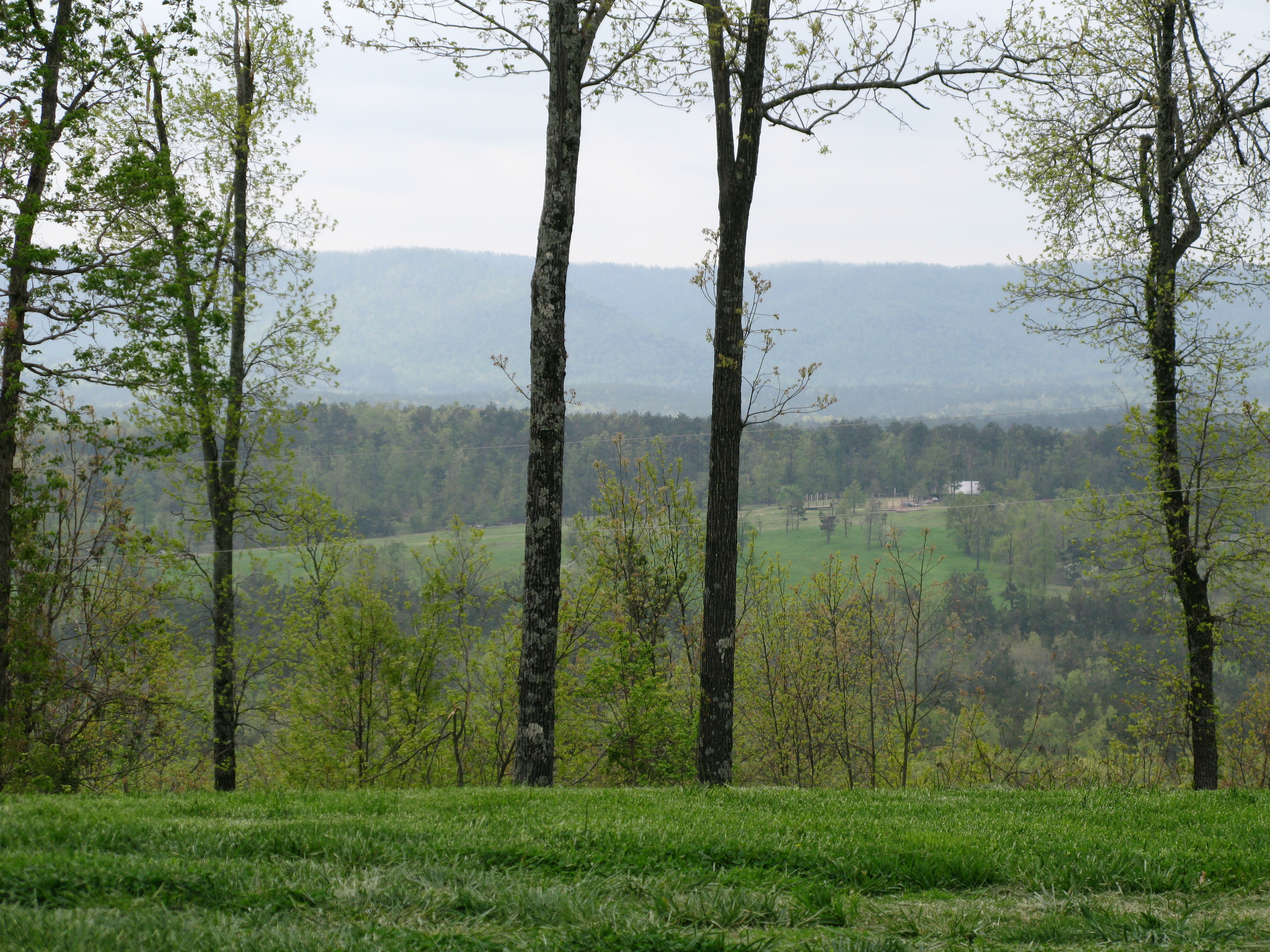
View of the Ozarks
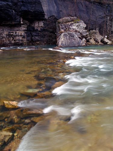
Sylamore Creek 1
Roasting Ear Creek
2010 SUMC Women's Retreat - Outdoors
2010 SUMC Women's Retreat - Outdoors
2010 SUMC Women's Retreat - Outdoors
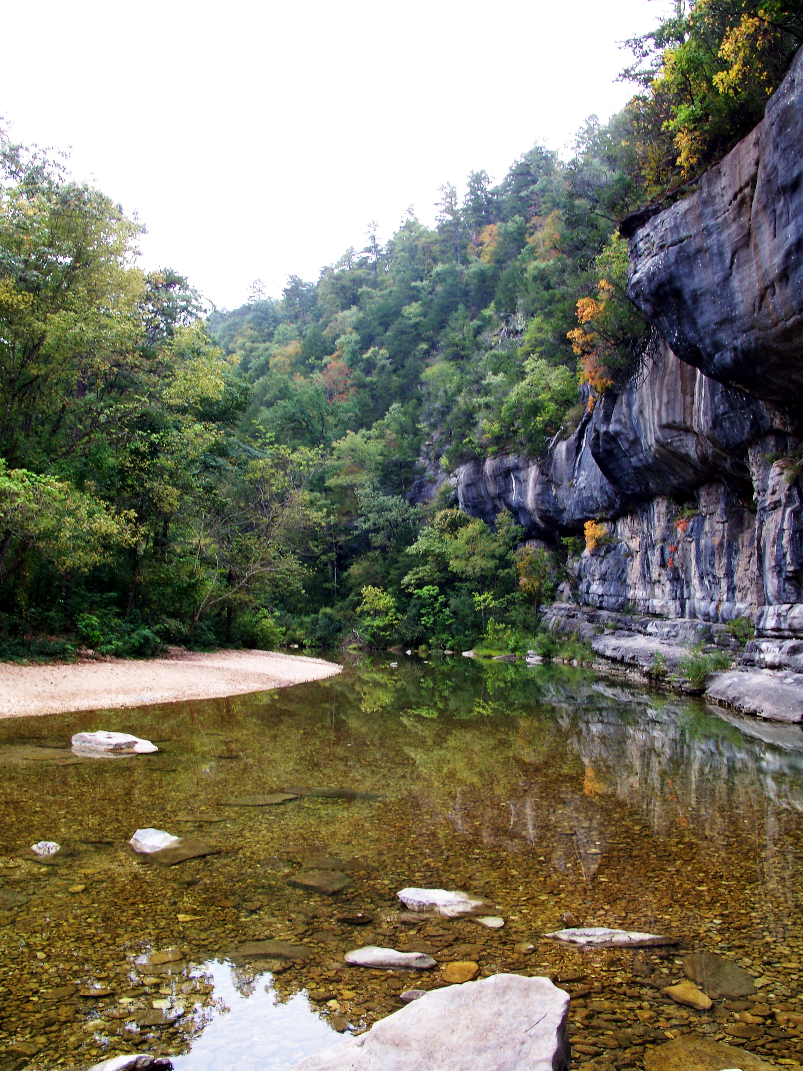
Gunner Pool
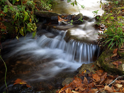
North Sylamore Creek
Gunner Pool
Topographic Map of Farris Township, AR, USA
Find elevation by address:

Places in Farris Township, AR, USA:
Places near Farris Township, AR, USA:
32270 Ar-263
Locust Grove Township
34425 Ar-263
AR-, Onia, AR, USA
Onia
Alco
Big Flat
Timbo Township
Thola
Alco Mountain
Timbo
AR-66, Timbo, AR, USA
Sylamore Township
Northwest Township
Fifty-six
AR-14, Fifty-Six, AR, USA
Rowland Cave Road
103 Sierra Baca Ln
AR-87, Mountain View, AR, USA
177 J W Dr
Recent Searches:
- Elevation of Mamala II, Sariaya, Quezon, Philippines
- Elevation of Sarangdanda, Nepal
- Elevation of 7 Waterfall Way, Tomball, TX, USA
- Elevation of SW 57th Ave, Portland, OR, USA
- Elevation of Crocker Dr, Vacaville, CA, USA
- Elevation of Pu Ngaol Community Meeting Hall, HWHM+3X7, Krong Saen Monourom, Cambodia
- Elevation of Royal Ontario Museum, Queens Park, Toronto, ON M5S 2C6, Canada
- Elevation of Groblershoop, South Africa
- Elevation of Power Generation Enterprises | Industrial Diesel Generators, Oak Ave, Canyon Country, CA, USA
- Elevation of Chesaw Rd, Oroville, WA, USA