Elevation of AR-, Onia, AR, USA
Location: United States > Arkansas > Stone County > Farris Township > Onia >
Longitude: -92.383203
Latitude: 35.961958
Elevation: 320m / 1050feet
Barometric Pressure: 98KPa
Elevation Map:
Satellite Map:
Related Photos:

Gunner Pool - Infrared
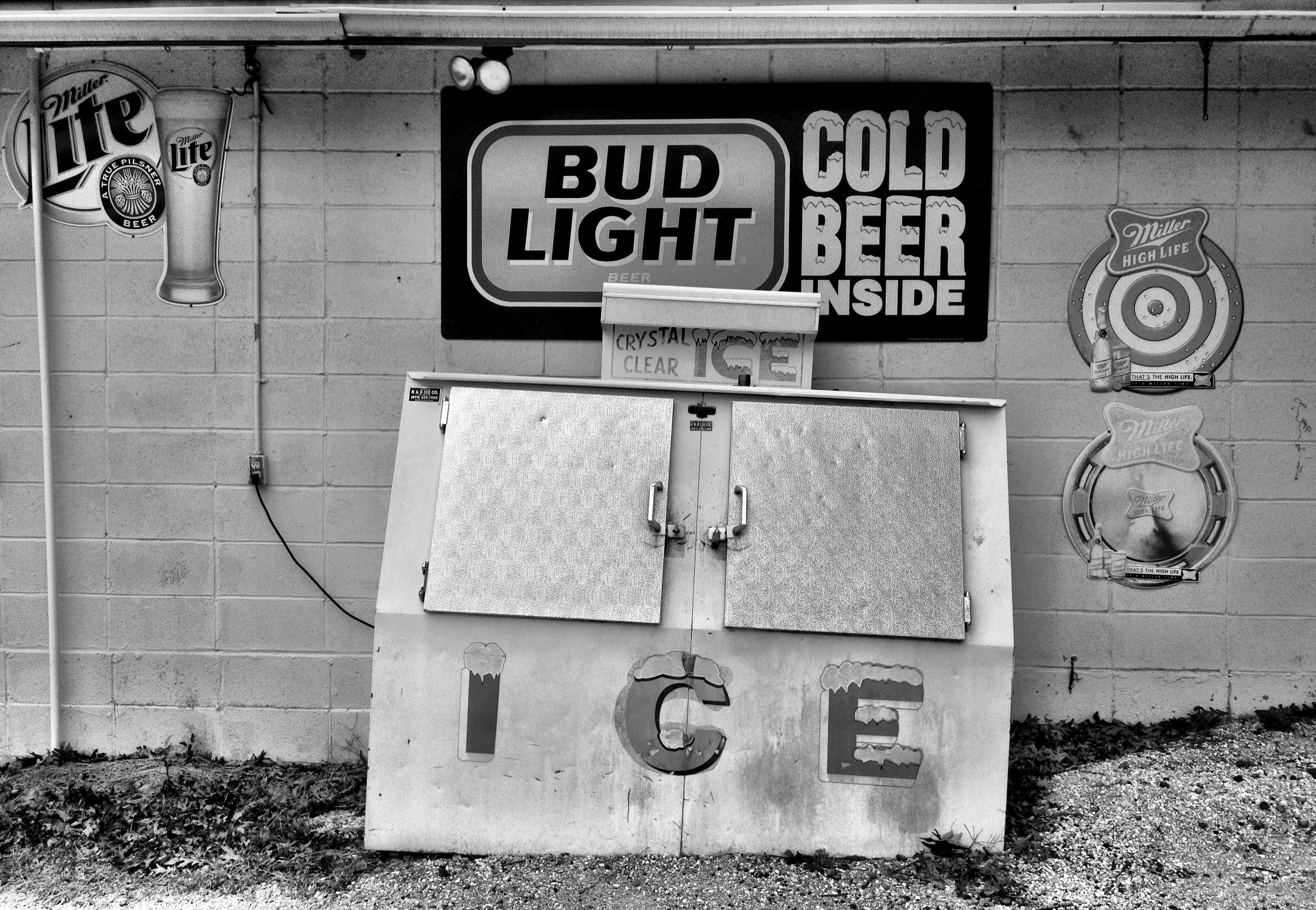
county line liquor store
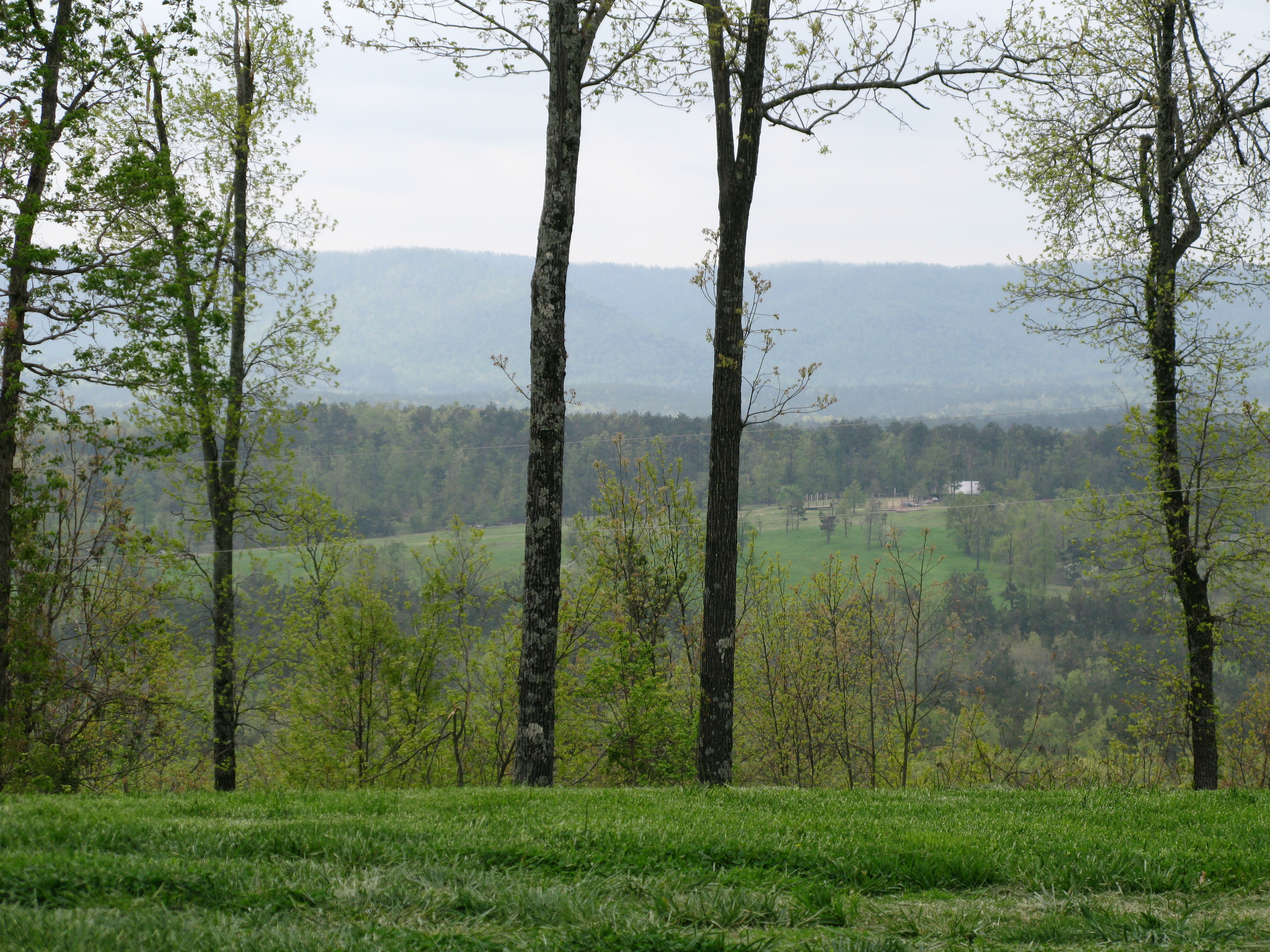
View of the Ozarks
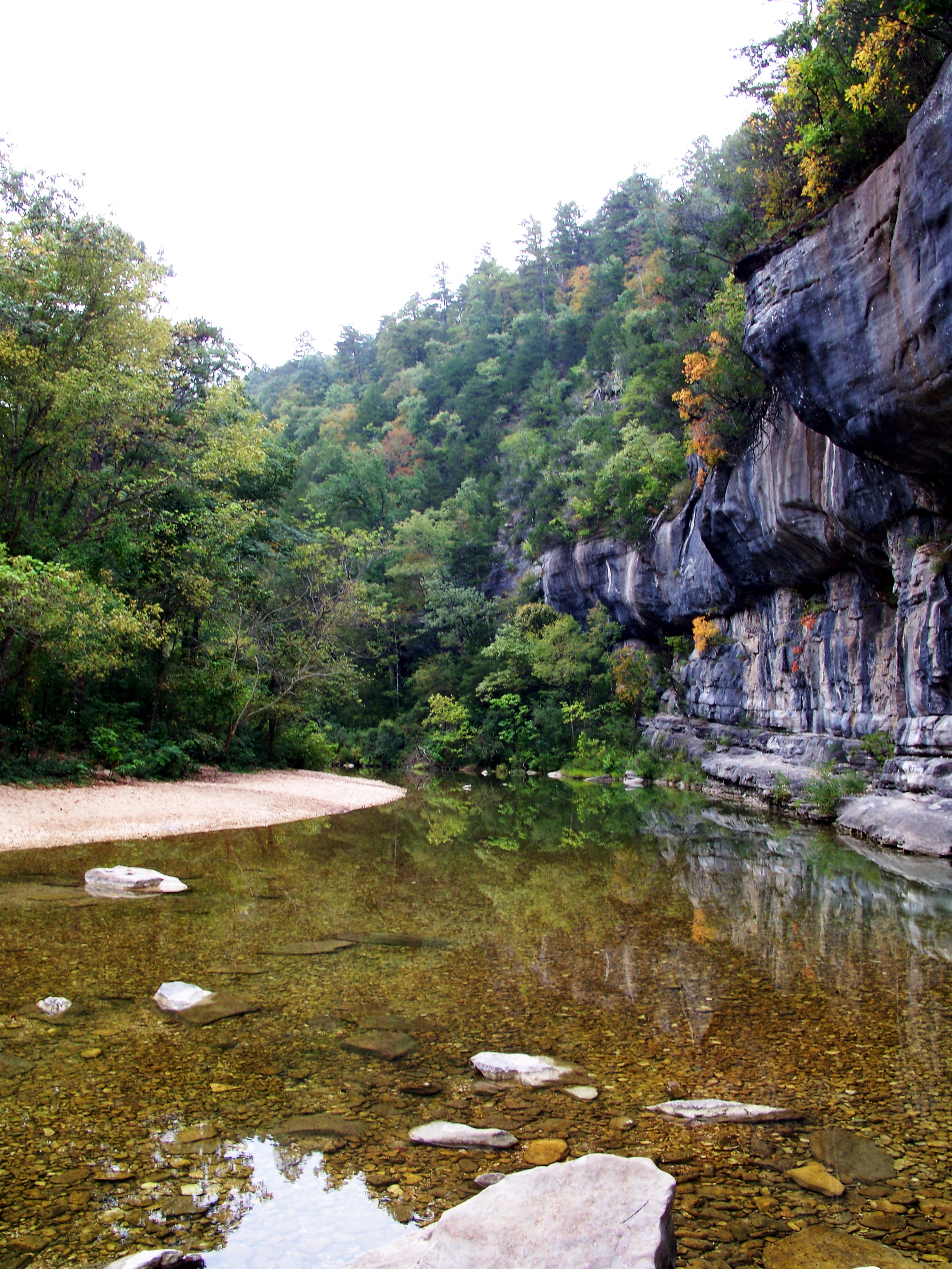
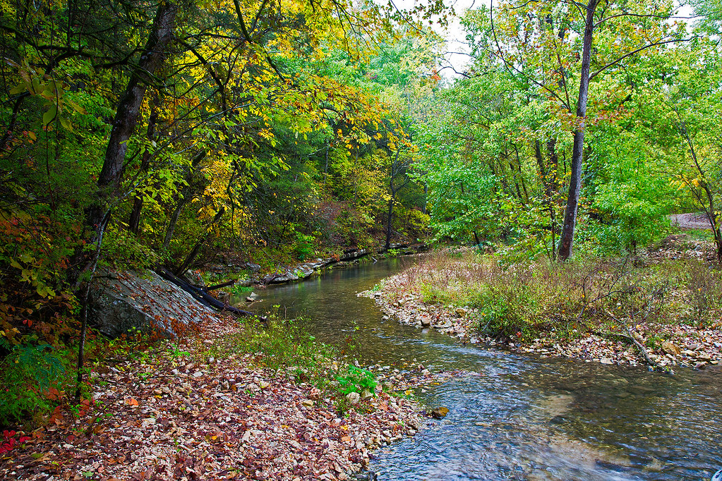
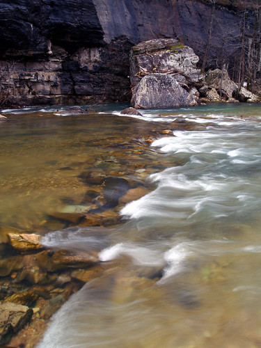
Sylamore Creek 1
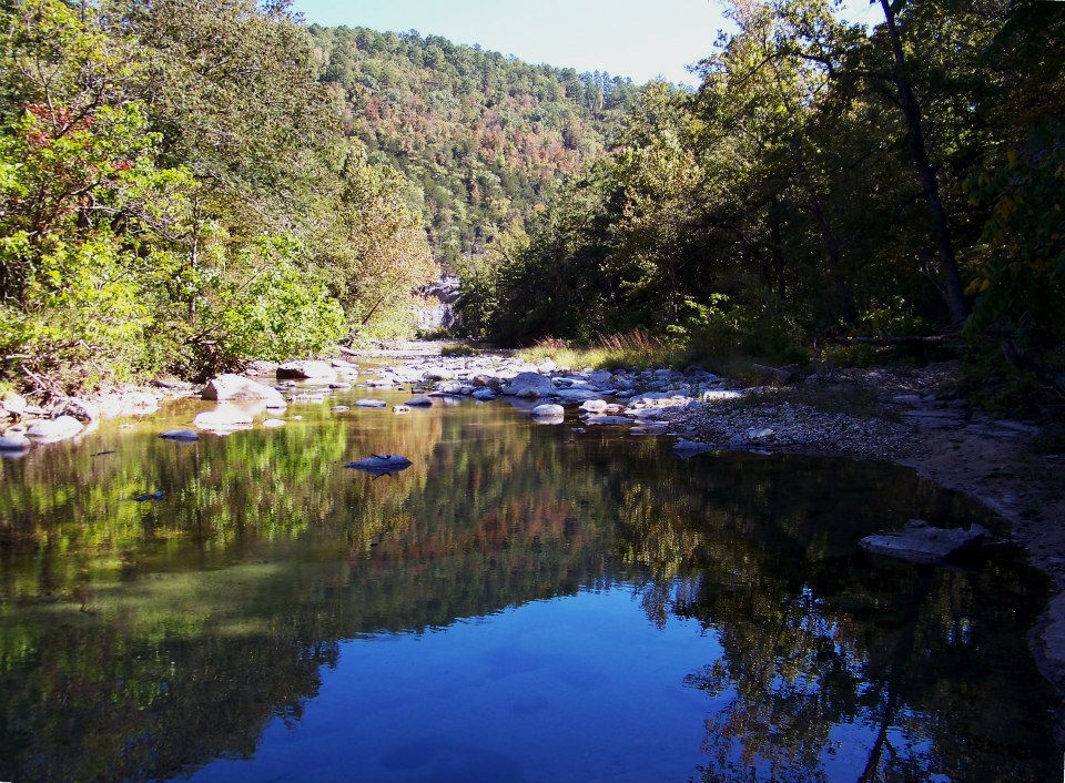
Sylamore Creek
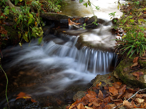
Roasting Ear Creek
2010 SUMC Women's Retreat - Outdoors
2010 SUMC Women's Retreat - Outdoors
Gunner Pool
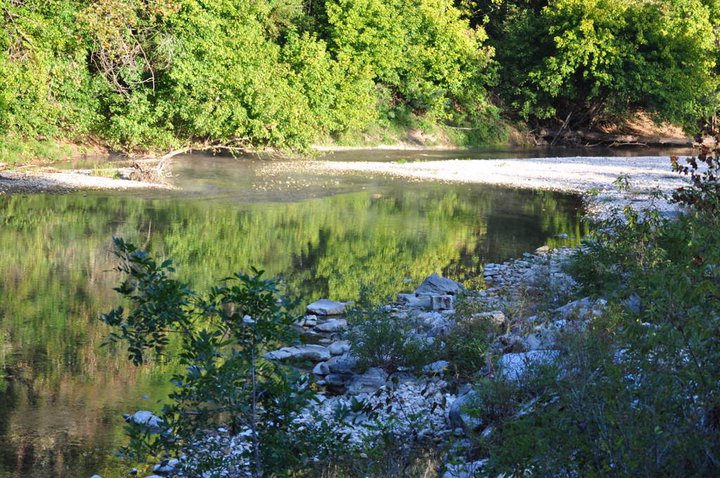
North Sylamore Creek
Gunner Pool
2010 SUMC Women's Retreat - Outdoors
Topographic Map of AR-, Onia, AR, USA
Find elevation by address:

Places near AR-, Onia, AR, USA:
Farris Township
34425 Ar-263
Big Flat
Locust Grove Township
AR-, Onia, AR, USA
Onia
Alco
Thola
Timbo Township
Alco Mountain
Timbo
AR-66, Timbo, AR, USA
Sylamore Township
Northwest Township
Fifty-six
AR-14, Fifty-Six, AR, USA
Rowland Cave Road
103 Sierra Baca Ln
AR-87, Mountain View, AR, USA
177 J W Dr
Recent Searches:
- Elevation of Hobbyhorse Ct, Dover, DE, USA
- Elevation of Horseshoe Ln, Dahlonega, GA, USA
- Elevation of Village Point Dr, Daphne, AL, USA
- Elevation map of Kabardino-Balkarian Republic, Russia
- Elevation of Tyrnyauz, Kabardino-Balkarian Republic, Russia
- Elevation of Sunset Dr, Hernando, MS, USA
- Elevation of Lake Rotoroa, Tasman, New Zealand
- Elevation of George St, New Bern, NC, USA
- Elevation of Cove Rd, Jasper, GA, USA
- Elevation of Cove Rd, Jasper, GA, USA