Elevation map of The Thumbs, Canterbury, New Zealand
Location: New Zealand > Canterbury > Mackenzie District > Sibbald >
Longitude: 170.725908
Latitude: -43.593197
Elevation: 2407m / 7897feet
Barometric Pressure: 76KPa
Elevation Map:
Satellite Map:
Related Photos:
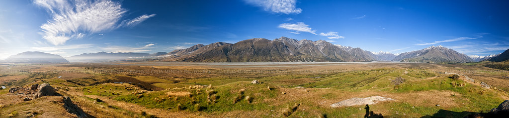
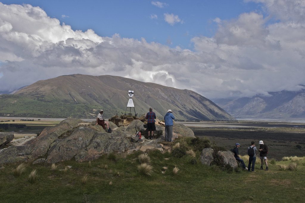
View from Mt Sunday, Rangitata Valley, Canterbury High Country, New Zealand, Dec 2012
Mt Sunday (1)
Toward Erewhon
Toward Erewhon

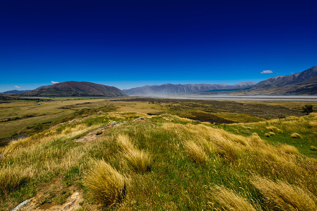
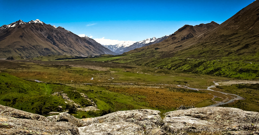
Rangitata Valley, viewed from Mt Sunday, Canterbury High Country, New Zealand, Dec 2012
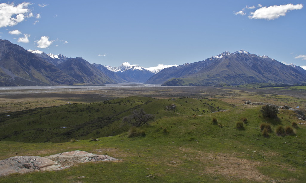
View from Mount Sunday (Edoras)
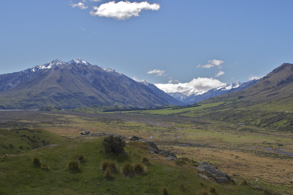
View from Mt Sunday
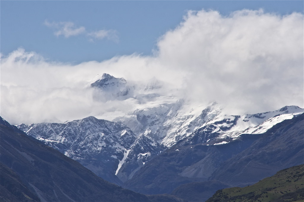
View into the Garden of Eden icefieds

369C2720-369C2763
Topographic Map of The Thumbs, Canterbury, New Zealand
Find elevation by address:

Places near The Thumbs, Canterbury, New Zealand:
Sibbald
Mount Sunday
Mount Sibbald
Mount D'archiac
Ramsay
The Warrior
Newton Peak
Mount Kensington
Mount Arrowsmith
Mount Adams
Mount Whitcombe
Ashburton Lakes
102 Main Rd
Harihari
49 Main Rd
Whataroa
8 La Fontaine Road
Bonds Peak
Franz Josef Glacier
Lake Ianthe
Recent Searches:
- Elevation of Corso Fratelli Cairoli, 35, Macerata MC, Italy
- Elevation of Tallevast Rd, Sarasota, FL, USA
- Elevation of 4th St E, Sonoma, CA, USA
- Elevation of Black Hollow Rd, Pennsdale, PA, USA
- Elevation of Oakland Ave, Williamsport, PA, USA
- Elevation of Pedrógão Grande, Portugal
- Elevation of Klee Dr, Martinsburg, WV, USA
- Elevation of Via Roma, Pieranica CR, Italy
- Elevation of Tavkvetili Mountain, Georgia
- Elevation of Hartfords Bluff Cir, Mt Pleasant, SC, USA