Elevation of Harihari, New Zealand
Location: New Zealand > West Coast >
Longitude: 170.551436
Latitude: -43.148297
Elevation: 36m / 118feet
Barometric Pressure: 101KPa
Elevation Map:
Satellite Map:
Related Photos:
Fox Glacier to the left, mount Tasman in the middle and the mighty mount Cook on the right. 2 and a half hour hike, vertical elevation gain of 5000 ft to summit mount fox for this view. #climbingtrees #mountcook #glaciers #foxglacier #tramping #viewsworth

Harihari view (i)

Coffee with a view. #nofilter #newzealand
Just stuck the camera up to the window of the bus. Postcard views in every direction.
Harihari view (ii)
Hercules Creek, Mt Hercules, South Westland, New Zealand
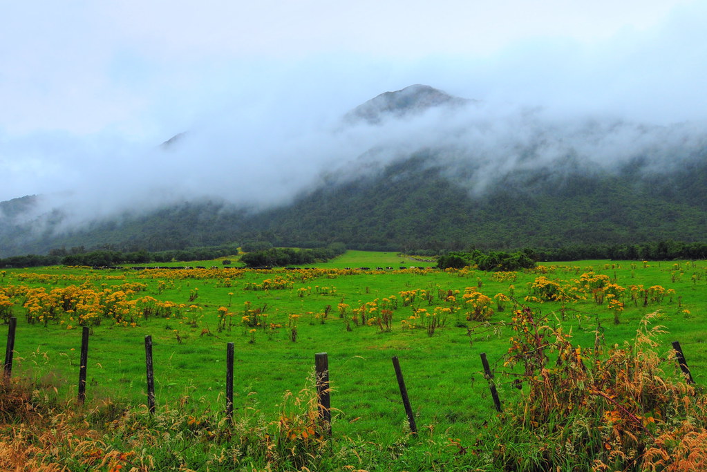
Green Farm
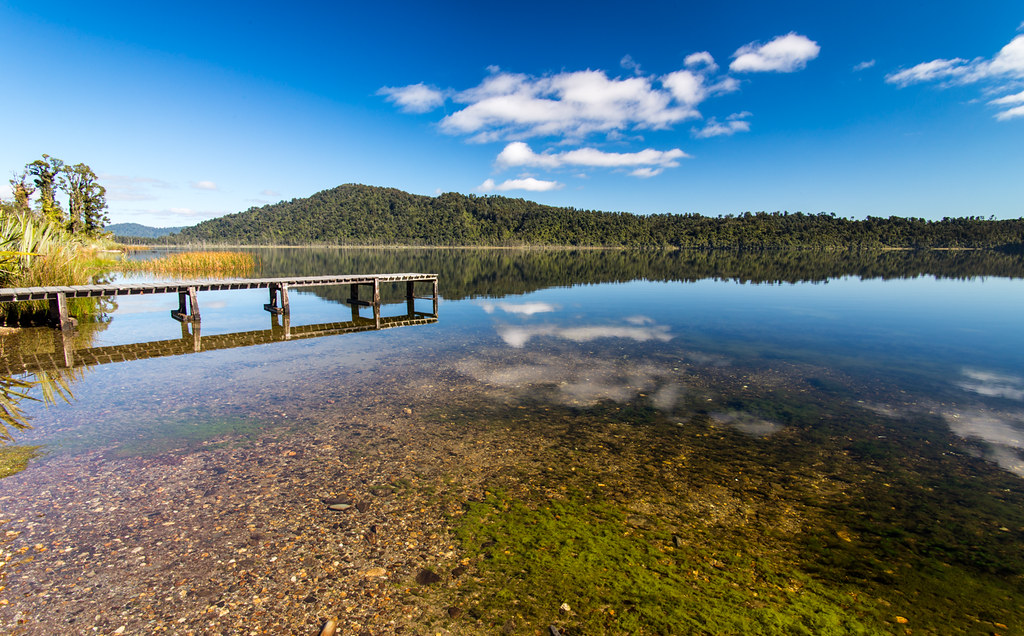
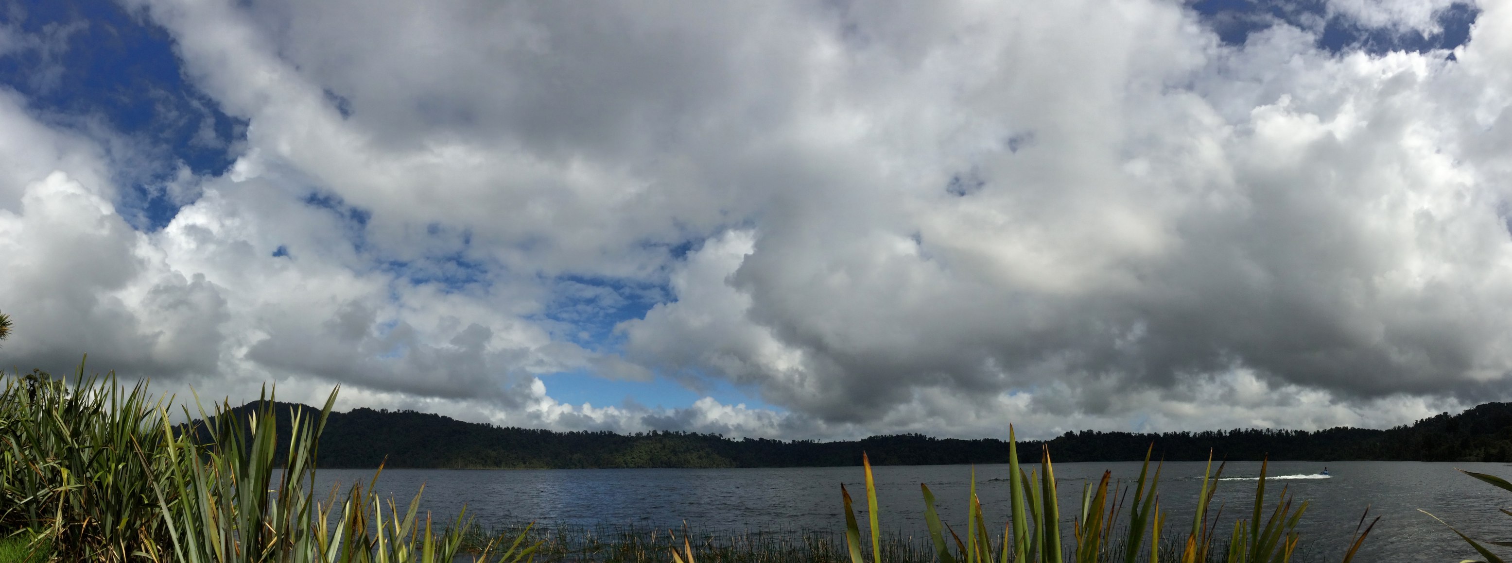
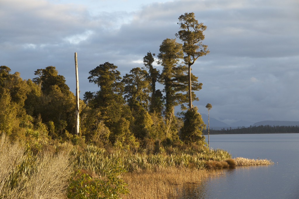
Lake Ianthe
great weather
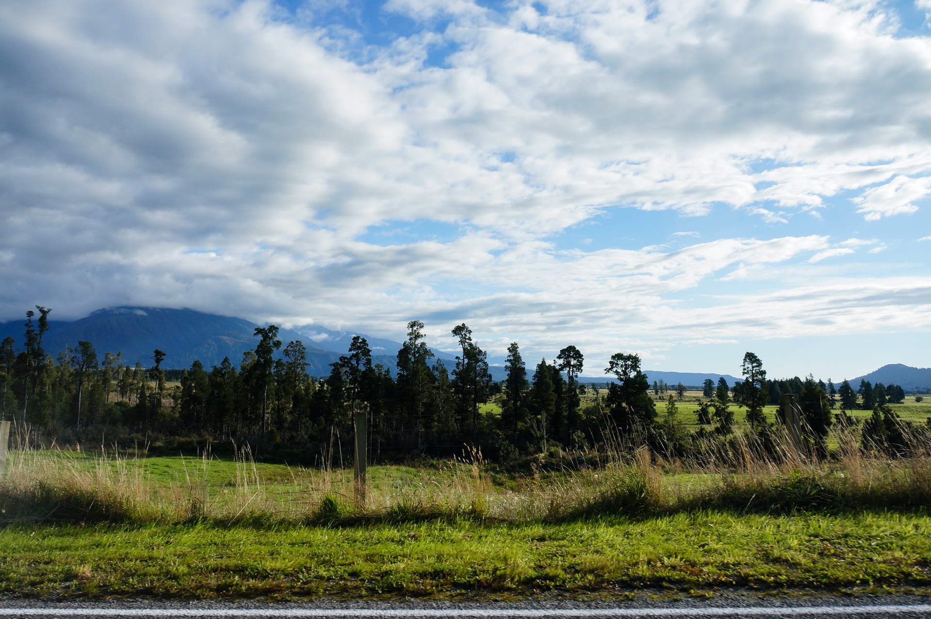
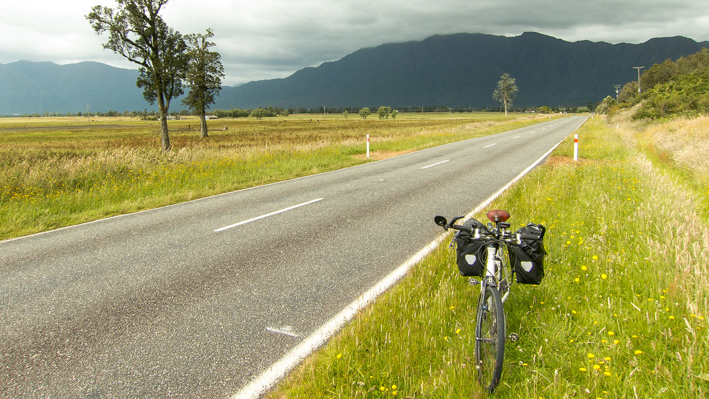
On the road around Harihari, West Coast, New Zealand
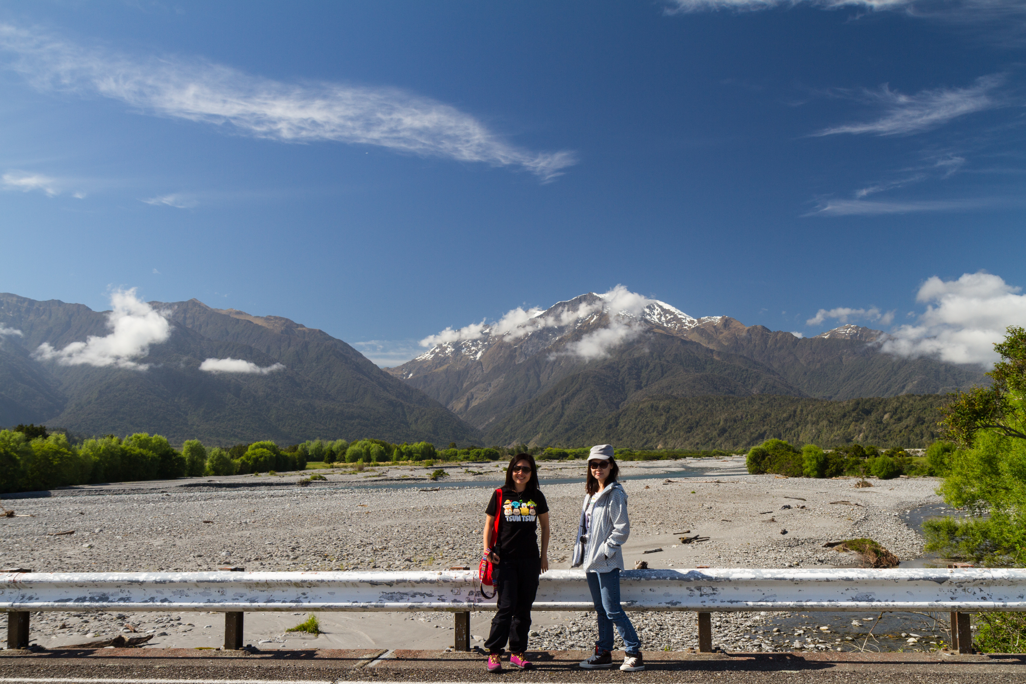
Hokitika to Wanaka 21Dec2014
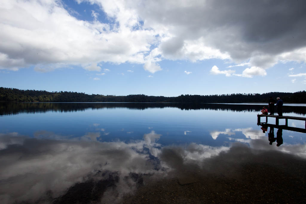
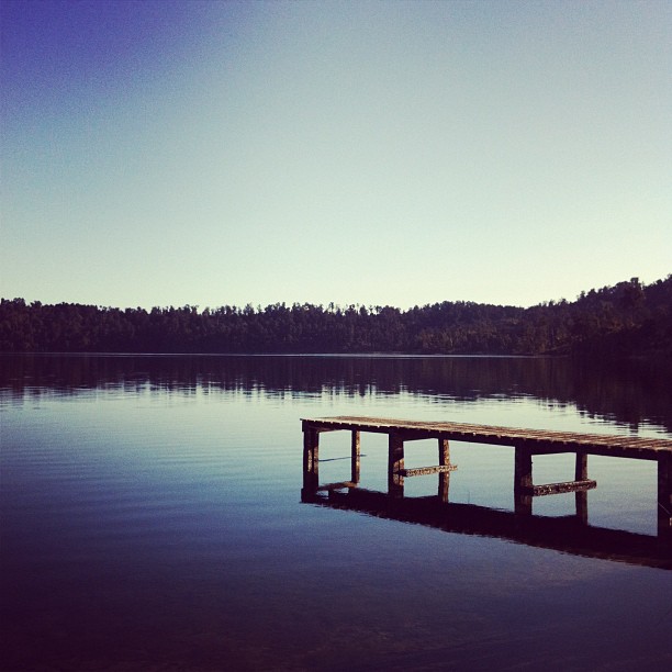
Lake Ianthe
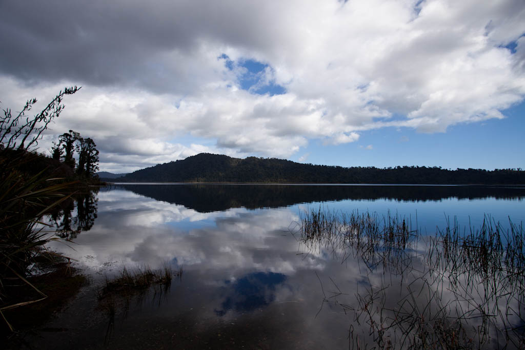
Lake Ianthe

Lake Ianthe

Lake Ianthe
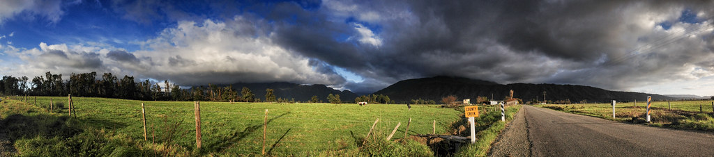
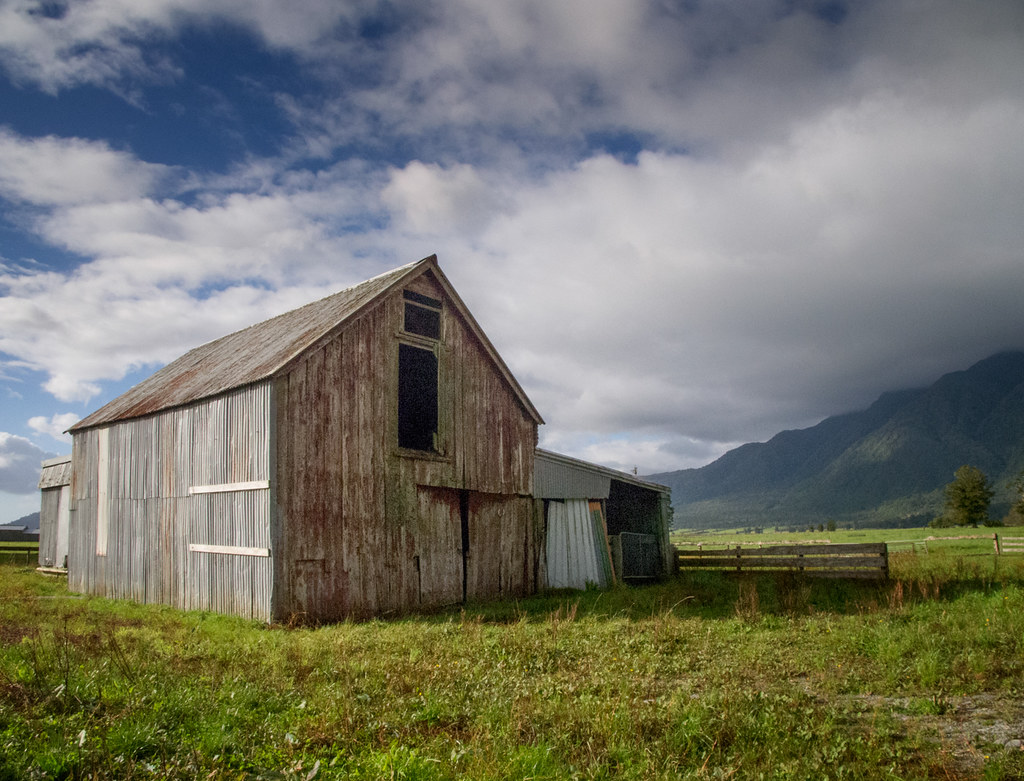
Countryside near Harihari, West Coast, New Zealand
Harihari Hwy, from Greymouth to Fox Glacier
On the road around Harihari, West Coast, New Zealand
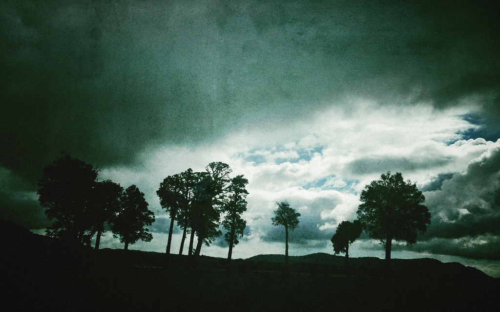
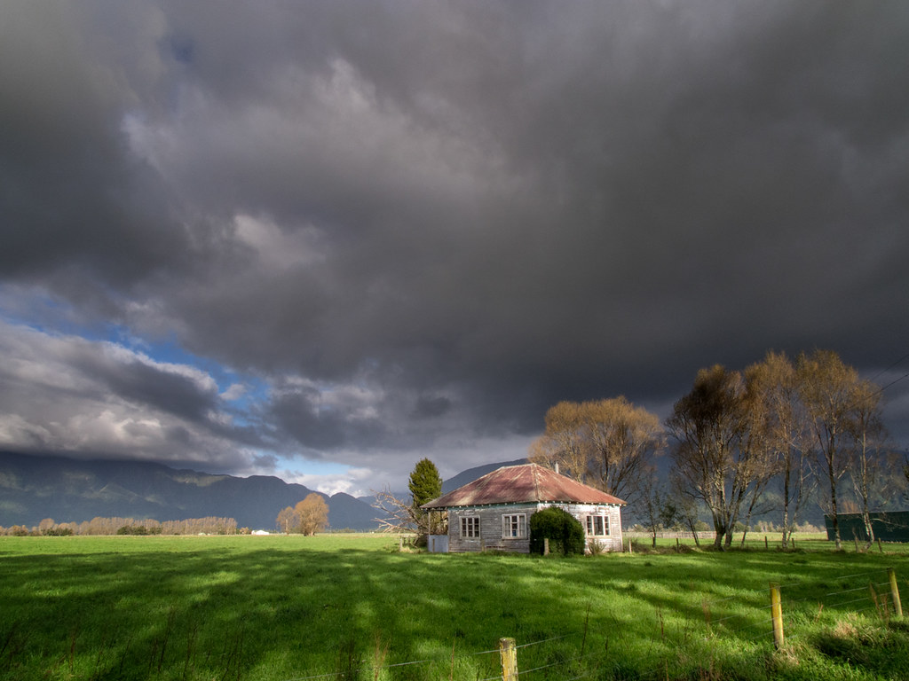
Dark and Gloomy
New Zealand-167.jpg
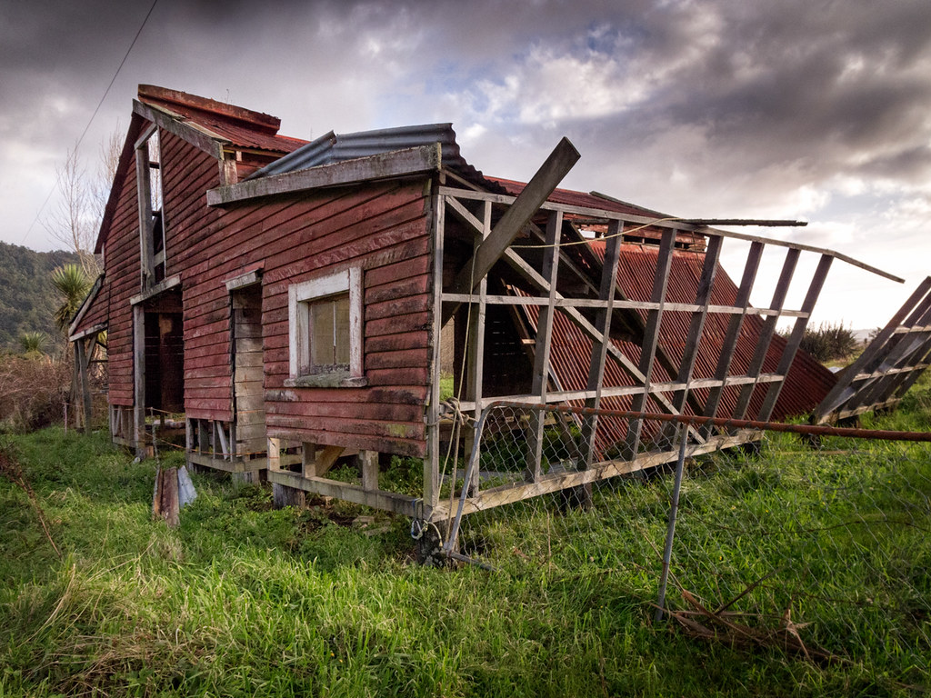
Countryside near Harihari, West Coast, New Zealand
Lake Ianthe - West Coast of the South Island of New Zealand
Countryside near Harihari, West Coast, New Zealand
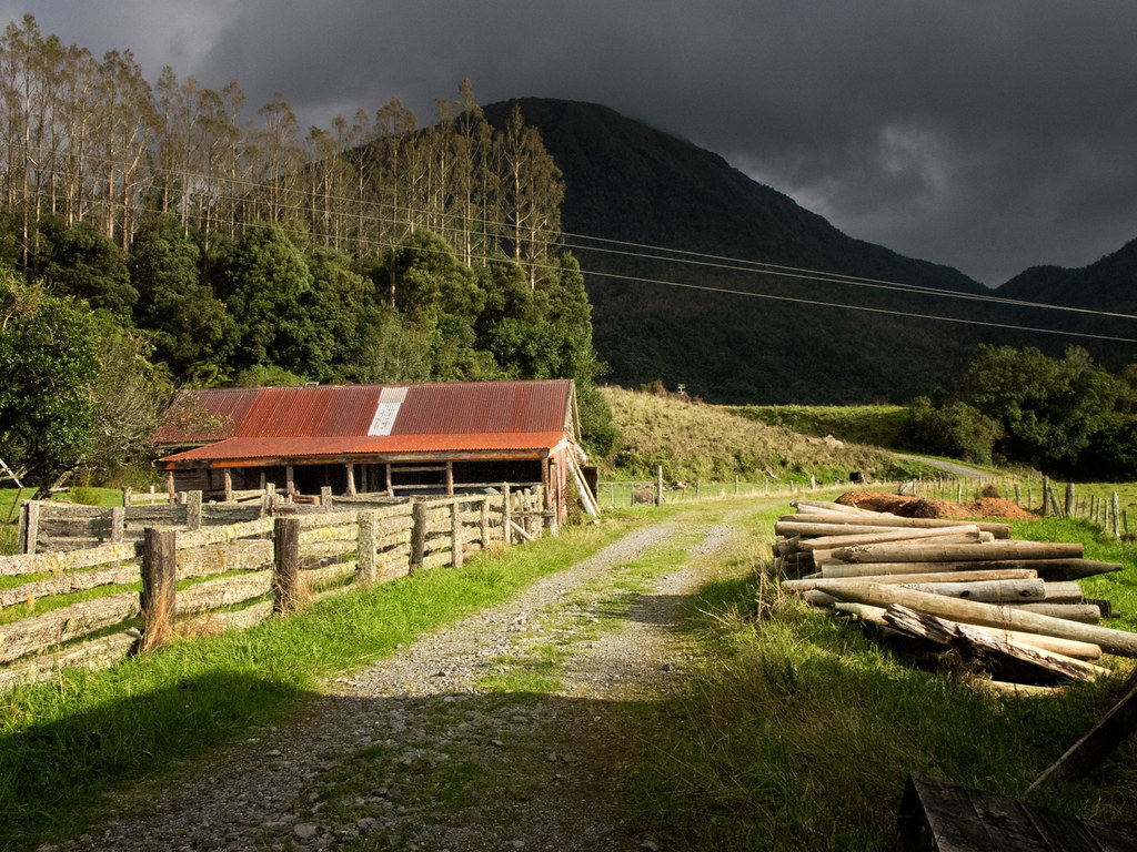
On the road around Harihari, West Coast, New Zealand
nzbiketour15-14
Topographic Map of Harihari, New Zealand
Find elevation by address:

Places in Harihari, New Zealand:
Places near Harihari, New Zealand:
102 Main Rd
8 La Fontaine Road
Lake Ianthe
Mount Adams
Mount Kensington
Kakapotahi
49 Main Rd
Whataroa
Newton Peak
Mount D'archiac
35 Mcleods Rd
Ramsay
The Warrior
Ross
Mount Whitcombe
17 Albert St
41 The Strand
Okarito
Mount Sibbald
Franz Josef Glacier
Recent Searches:
- Elevation of Corso Fratelli Cairoli, 35, Macerata MC, Italy
- Elevation of Tallevast Rd, Sarasota, FL, USA
- Elevation of 4th St E, Sonoma, CA, USA
- Elevation of Black Hollow Rd, Pennsdale, PA, USA
- Elevation of Oakland Ave, Williamsport, PA, USA
- Elevation of Pedrógão Grande, Portugal
- Elevation of Klee Dr, Martinsburg, WV, USA
- Elevation of Via Roma, Pieranica CR, Italy
- Elevation of Tavkvetili Mountain, Georgia
- Elevation of Hartfords Bluff Cir, Mt Pleasant, SC, USA