Elevation of Mount Kensington, West Coast, New Zealand
Location: New Zealand > West Coast > Westland District > Whataroa >
Longitude: 170.639166
Latitude: -43.291666
Elevation: 1970m / 6463feet
Barometric Pressure: 80KPa
Elevation Map:
Satellite Map:
Related Photos:
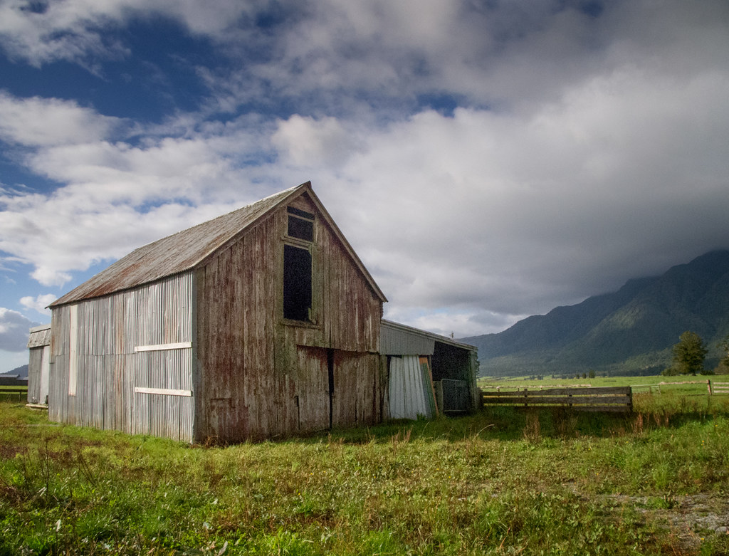
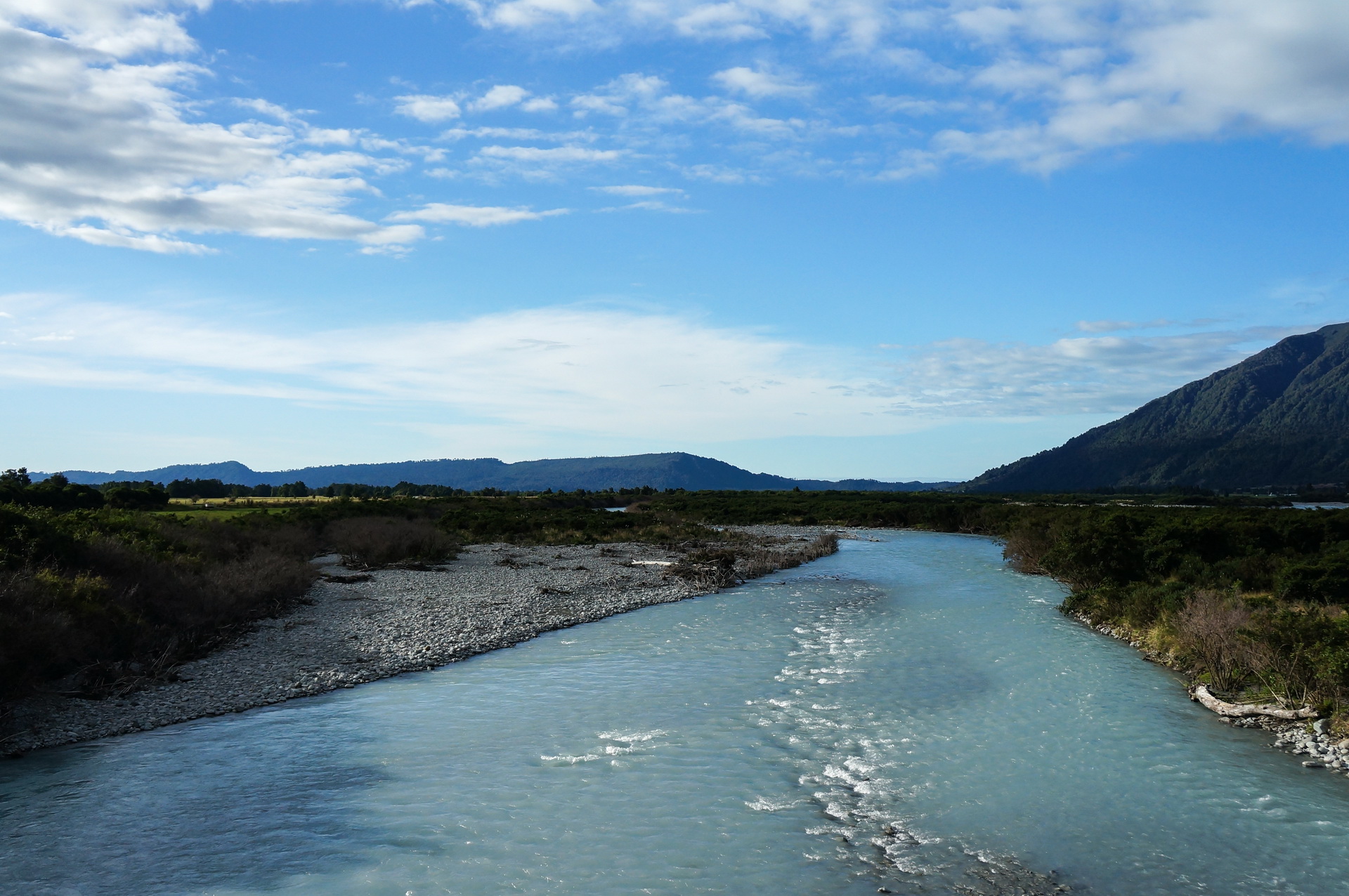
On the road around Harihari, West Coast, New Zealand
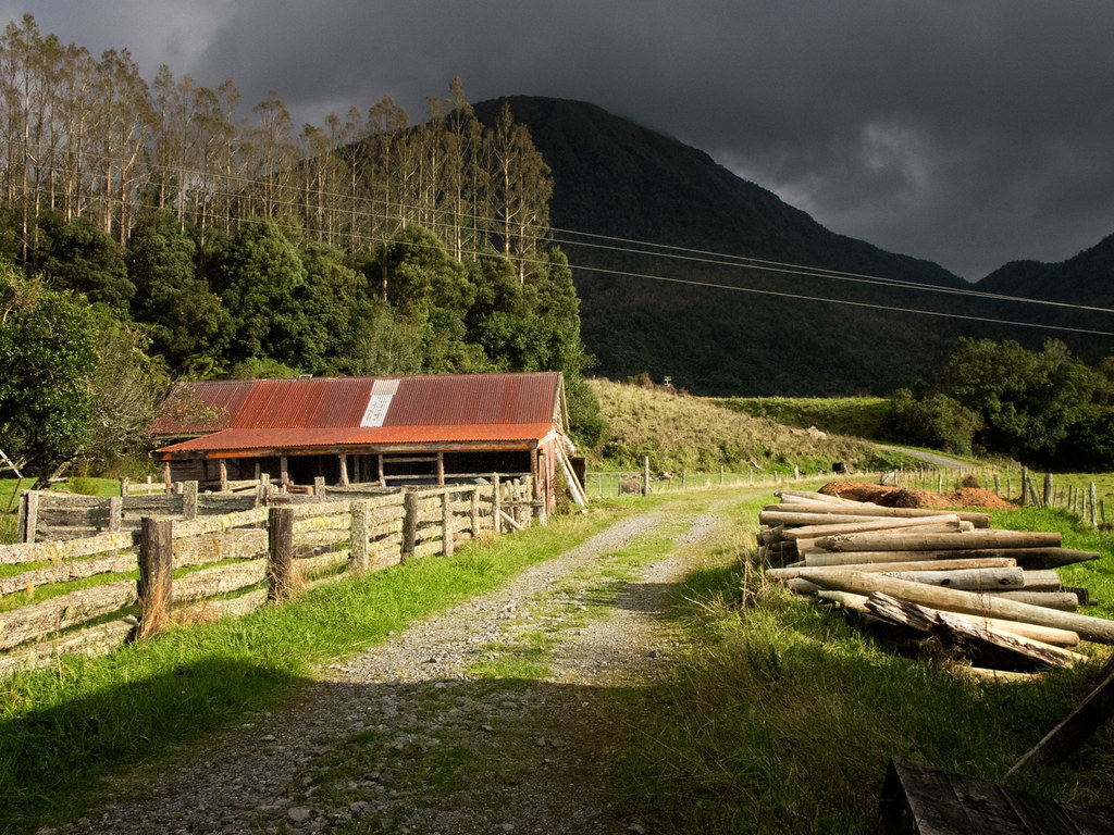
On the road around Harihari, West Coast, New Zealand
HIP_320732136.755586
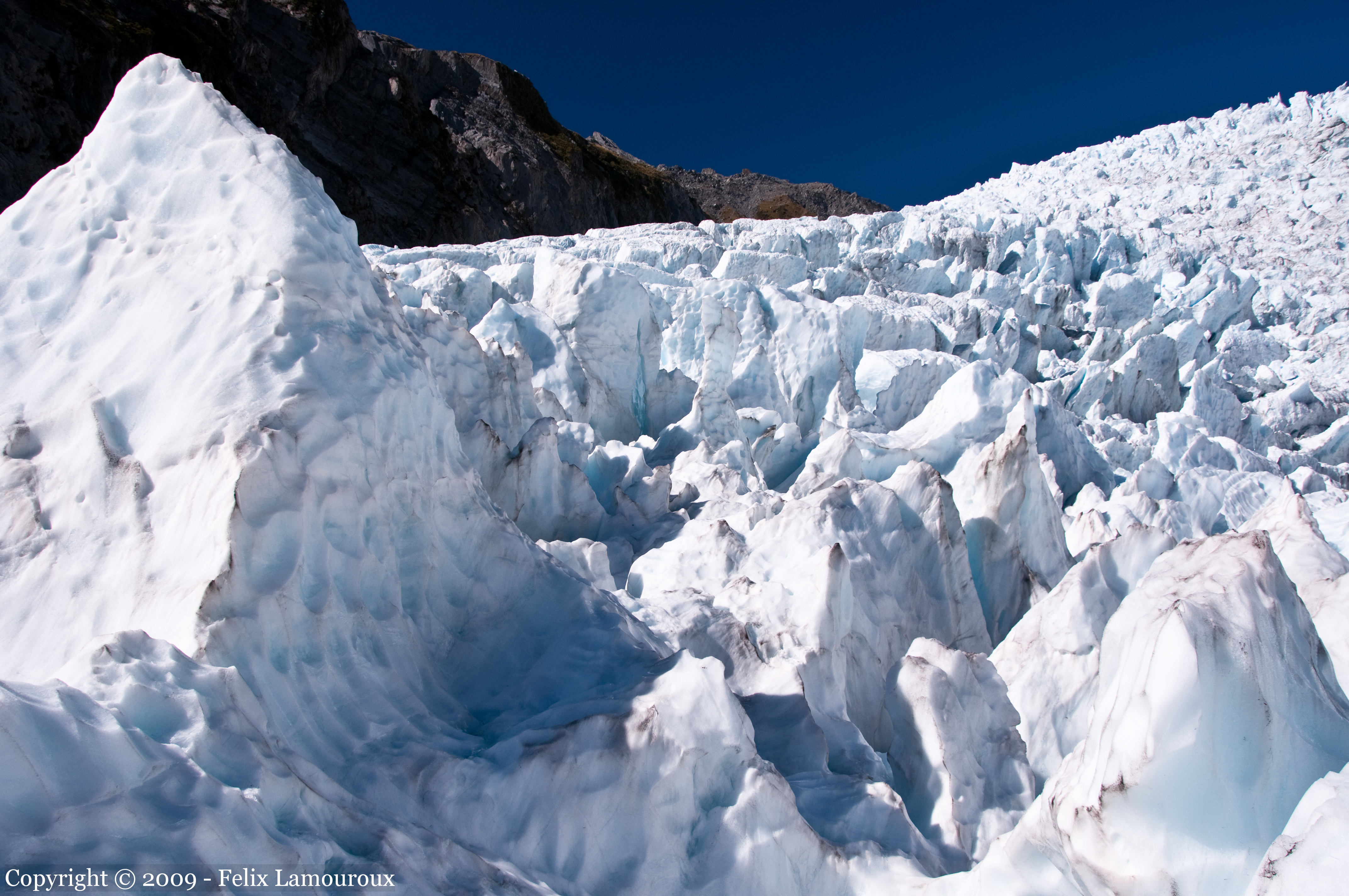
Franz Josef Glacier close-up
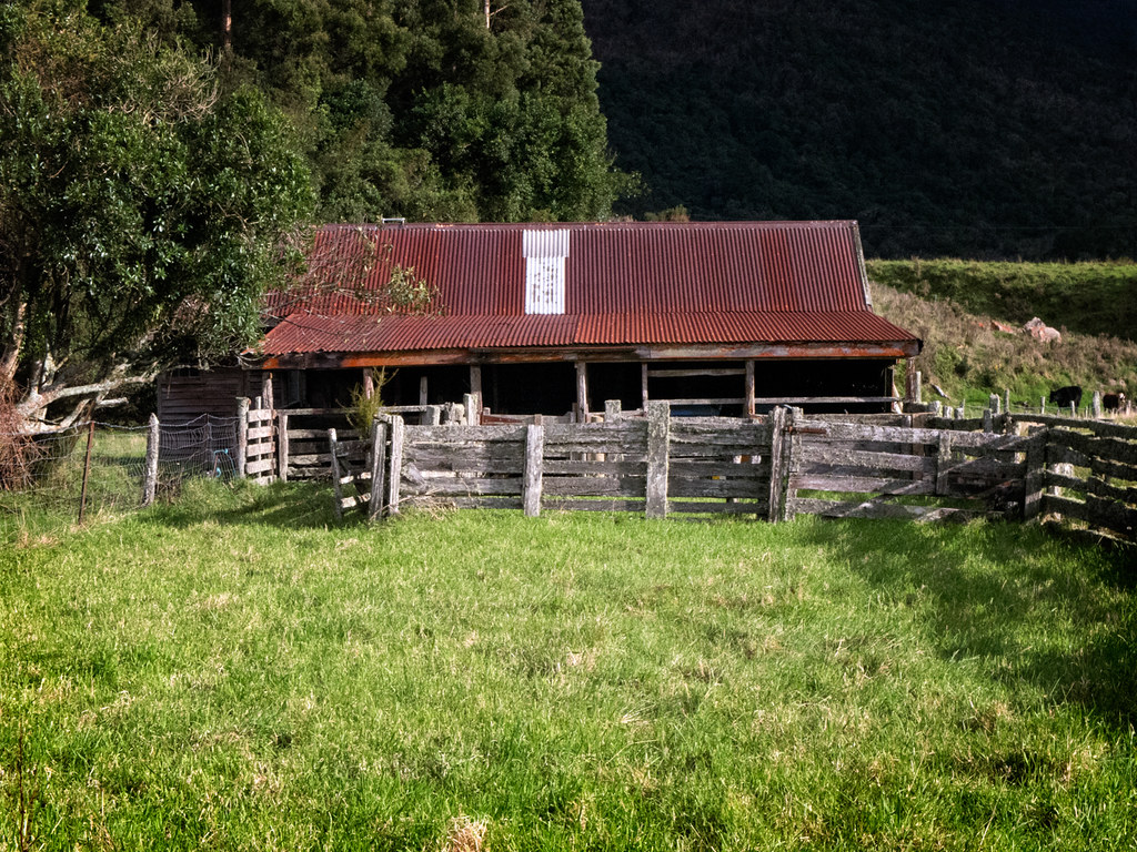
On the road around Harihari, West Coast, New Zealand
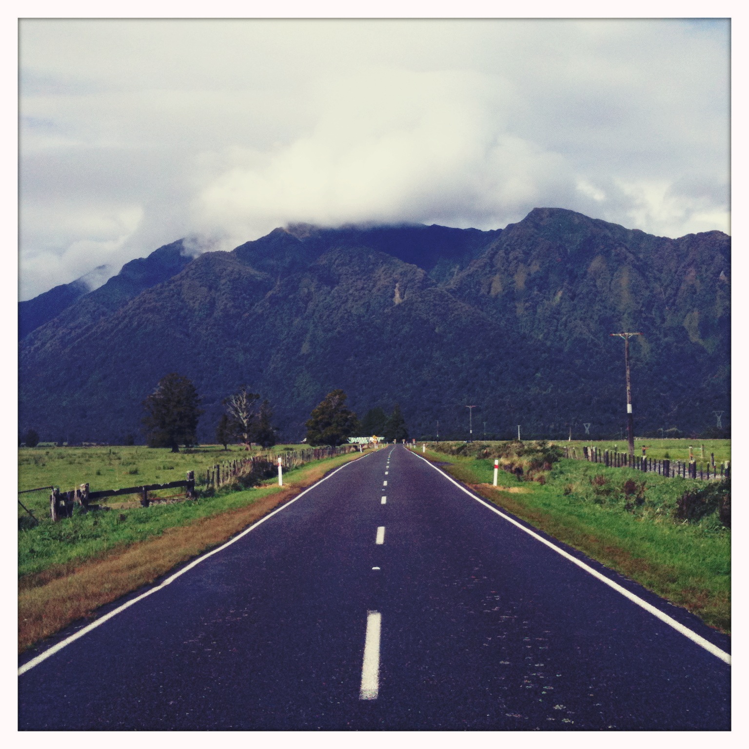
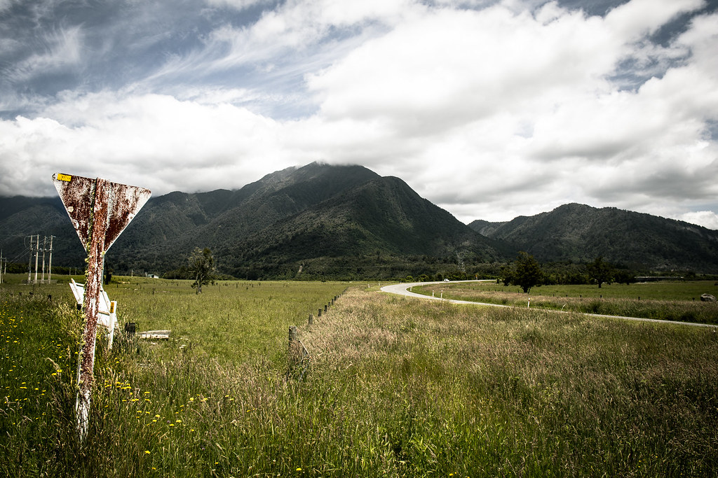
Harihari Hwy, from Greymouth to Fox Glacier
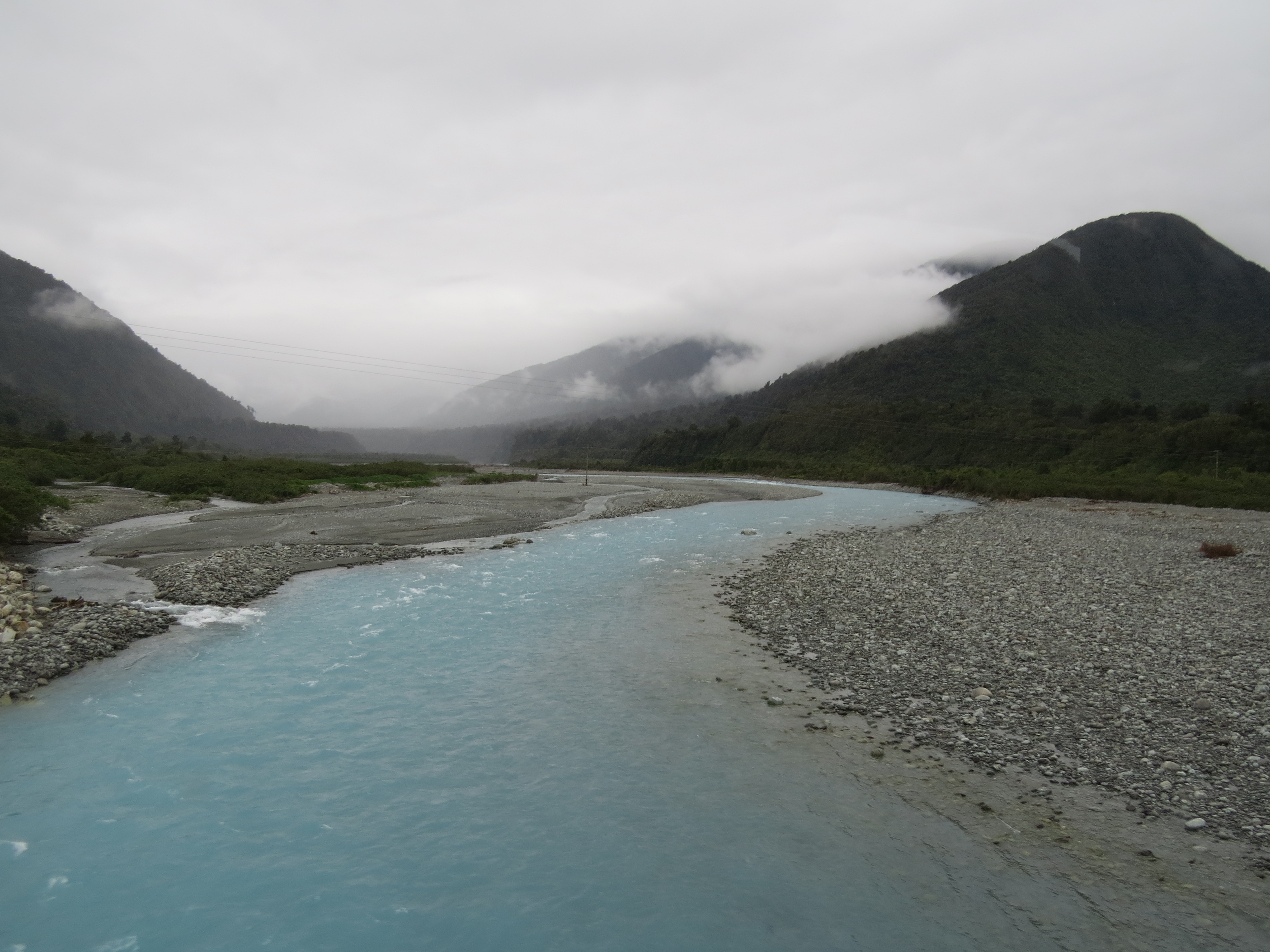
Driving on one-lane bridge across the Wanganui River
Harihari Hwy Sign
On the road around Harihari, West Coast, New Zealand
On the road around Harihari, West Coast, New Zealand
IMG_5995 - IMG_6003
Topographic Map of Mount Kensington, West Coast, New Zealand
Find elevation by address:

Places near Mount Kensington, West Coast, New Zealand:
Newton Peak
Mount Adams
102 Main Rd
Harihari
Ramsay
Mount D'archiac
8 La Fontaine Road
The Warrior
Lake Ianthe
Mount Sibbald
49 Main Rd
Whataroa
Mount Whitcombe
Sibbald
The Thumbs
Kakapotahi
Mount Arrowsmith
Mount Sunday
35 Mcleods Rd
Bonds Peak
Recent Searches:
- Elevation of Corso Fratelli Cairoli, 35, Macerata MC, Italy
- Elevation of Tallevast Rd, Sarasota, FL, USA
- Elevation of 4th St E, Sonoma, CA, USA
- Elevation of Black Hollow Rd, Pennsdale, PA, USA
- Elevation of Oakland Ave, Williamsport, PA, USA
- Elevation of Pedrógão Grande, Portugal
- Elevation of Klee Dr, Martinsburg, WV, USA
- Elevation of Via Roma, Pieranica CR, Italy
- Elevation of Tavkvetili Mountain, Georgia
- Elevation of Hartfords Bluff Cir, Mt Pleasant, SC, USA