Elevation of Sibbald, New Zealand
Location: New Zealand > Canterbury > Mackenzie District >
Longitude: 170.594371
Latitude: -43.592872
Elevation: 1563m / 5128feet
Barometric Pressure: 84KPa
Elevation Map:
Satellite Map:
Related Photos:
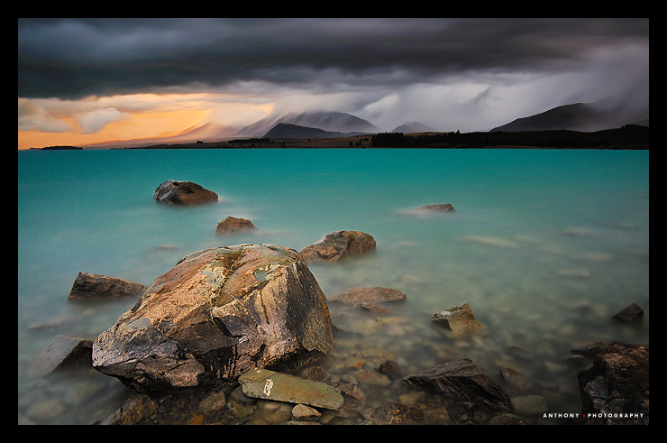
Delightful Storm
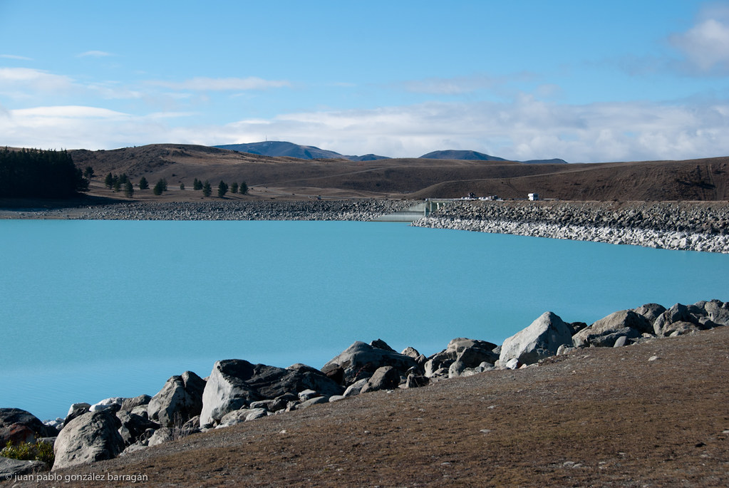
presa en nueva zelanda
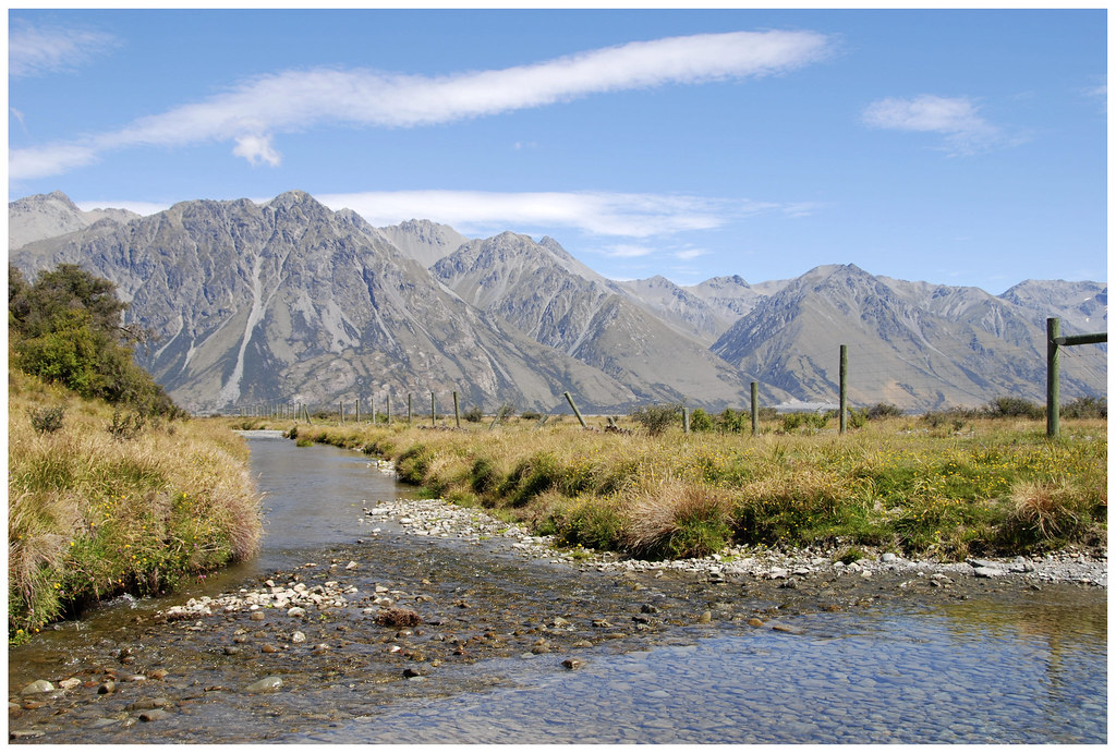
Mountain stream at the top of Lake Tekapo
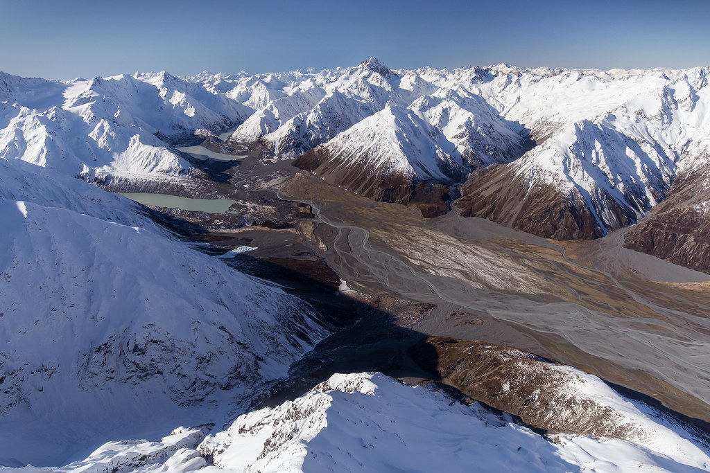
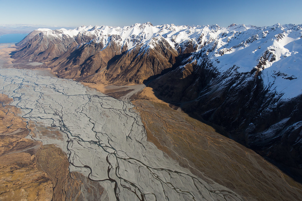
Godley Valley / New Zealand
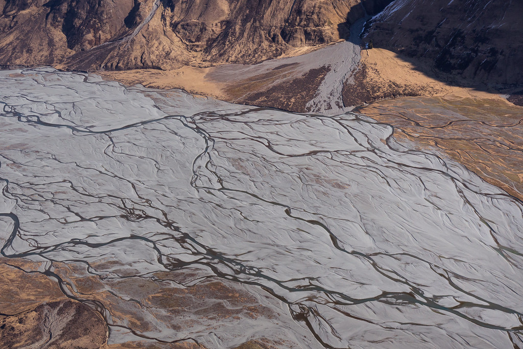
Godley River / New Zealand
Godley River / New Zealand
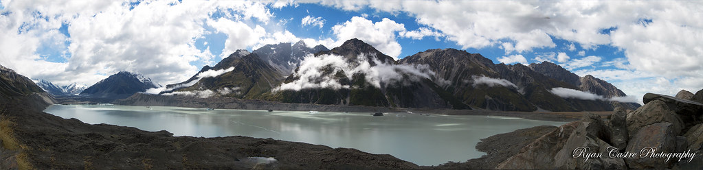
Tasman Glacier New Zealand
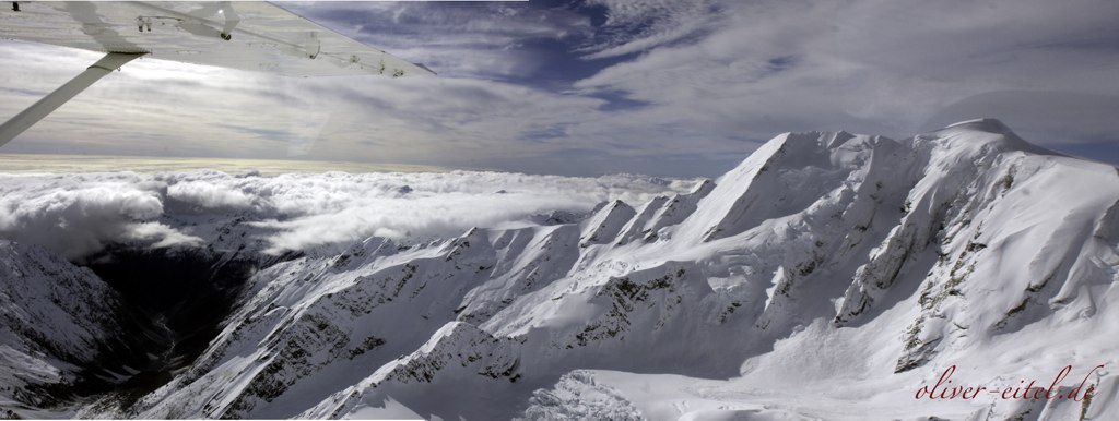
Mount Cook mit Fox Glacier
Simple Shapes with Francois Bon
Topographic Map of Sibbald, New Zealand
Find elevation by address:

Places in Sibbald, New Zealand:
Places near Sibbald, New Zealand:
Mount Sibbald
Mount D'archiac
The Thumbs
Mount Sunday
Newton Peak
Mount Kensington
Ramsay
Mount Adams
The Warrior
49 Main Rd
Whataroa
Franz Josef Glacier
102 Main Rd
Harihari
Mount Arrowsmith
Franz Josef Glacier
Mount Whitcombe
8 La Fontaine Road
Lake Ianthe
17 Albert St
Recent Searches:
- Elevation of Corso Fratelli Cairoli, 35, Macerata MC, Italy
- Elevation of Tallevast Rd, Sarasota, FL, USA
- Elevation of 4th St E, Sonoma, CA, USA
- Elevation of Black Hollow Rd, Pennsdale, PA, USA
- Elevation of Oakland Ave, Williamsport, PA, USA
- Elevation of Pedrógão Grande, Portugal
- Elevation of Klee Dr, Martinsburg, WV, USA
- Elevation of Via Roma, Pieranica CR, Italy
- Elevation of Tavkvetili Mountain, Georgia
- Elevation of Hartfords Bluff Cir, Mt Pleasant, SC, USA