Elevation of Tanaka- Shimo, Sukagawa-shi, Fukushima-ken -, Japan
Location: Japan > Fukushima Prefecture > Sukagawa >
Longitude: 140.236325
Latitude: 37.2922434
Elevation: 308m / 1010feet
Barometric Pressure: 98KPa
Elevation Map:
Satellite Map:
Related Photos:
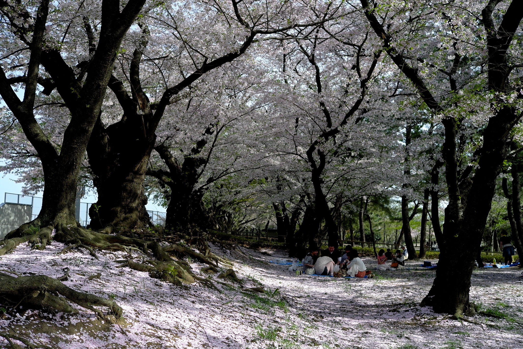
Views of the once a year
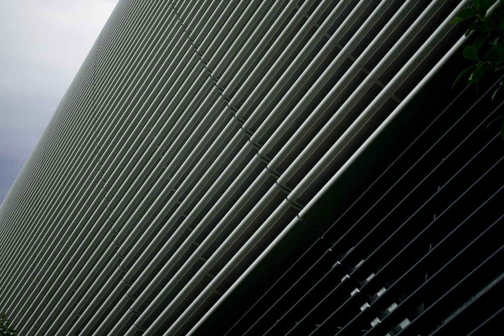
Upward view of Shirakawa Data Center (白河データセンター)

General view of Shirakawa Data Center (白河データセンター)
British Hills, Fukushima, Japan (view from the nature trail)

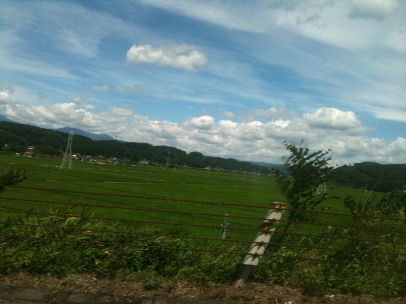
Rice fields
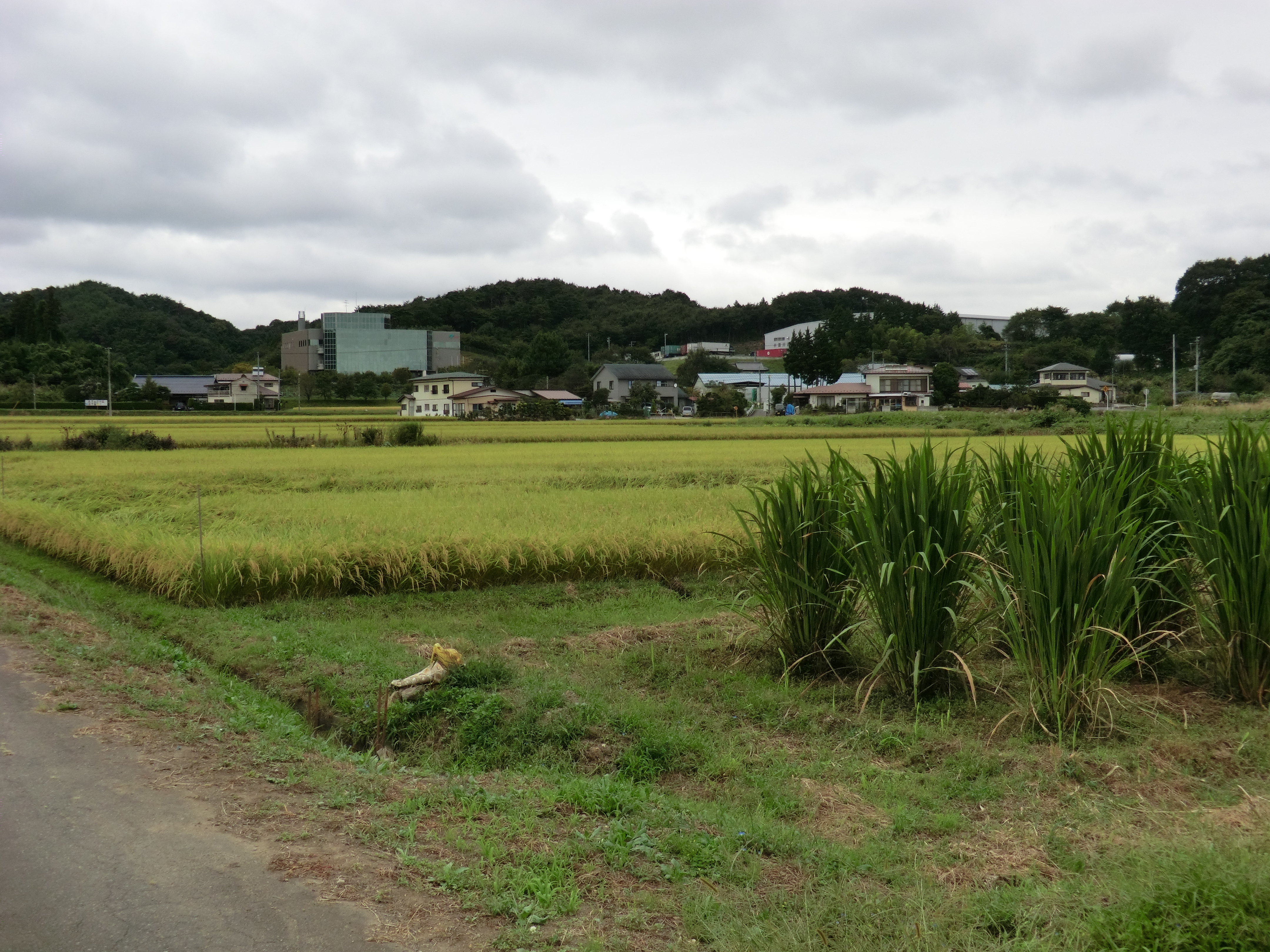
Rice fields, and some other plants

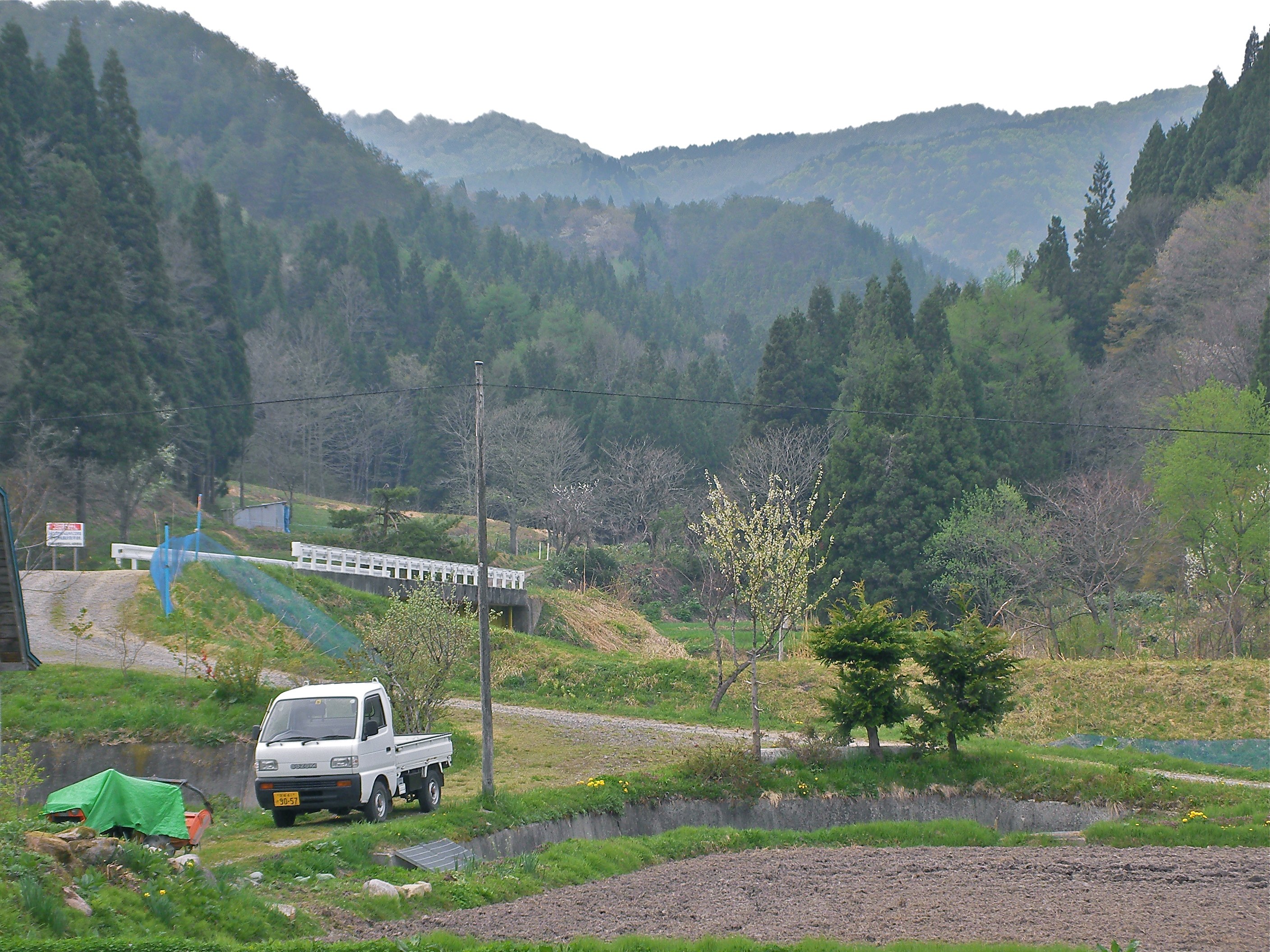
near Kasaishi, , Japan

20140213 16:20 Koriyama,Fukushima
福島一枚目!
無事帰還 福島県
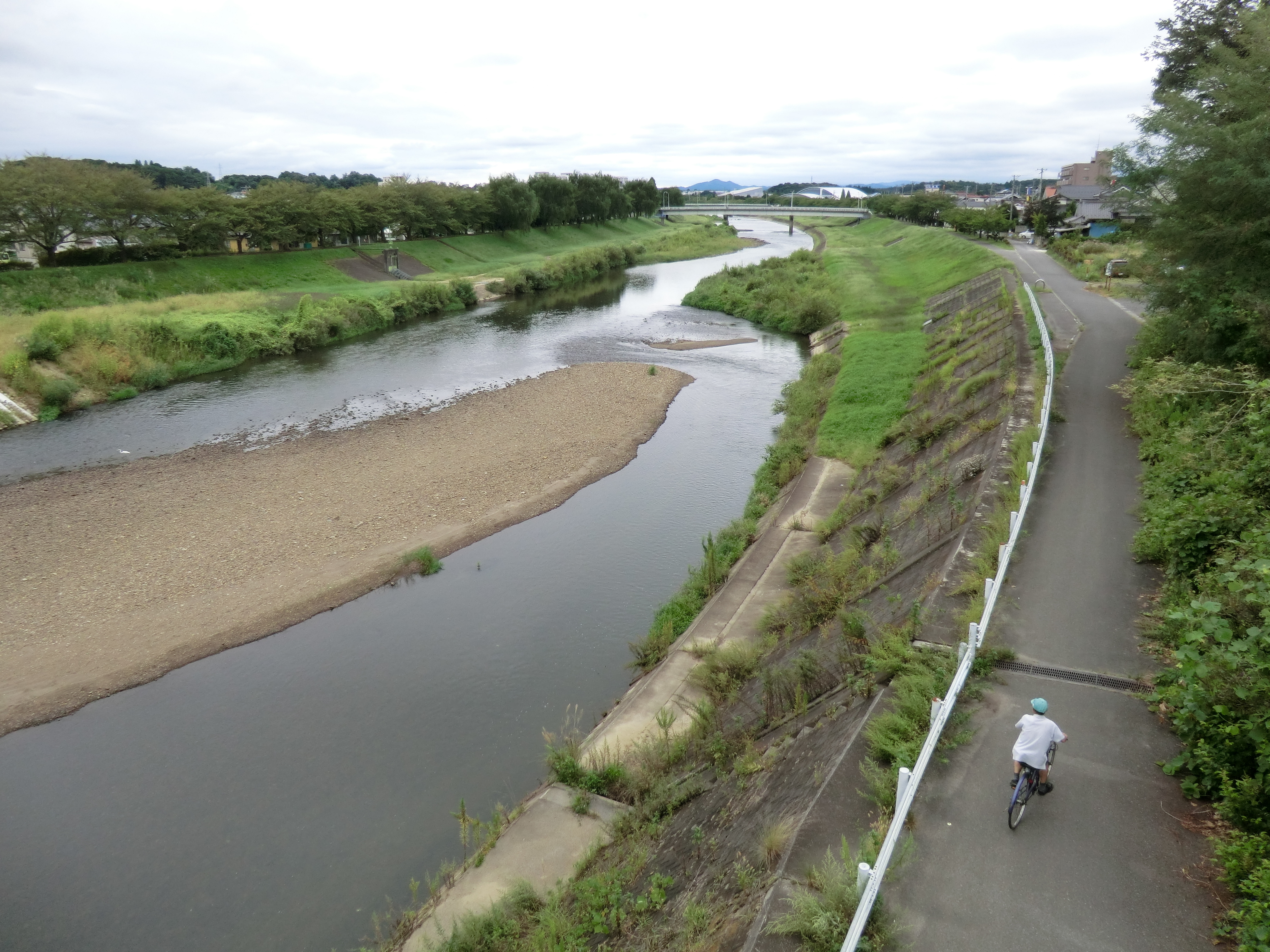
Sukagawa river
Topographic Map of Tanaka- Shimo, Sukagawa-shi, Fukushima-ken -, Japan
Find elevation by address:

Places near Tanaka- Shimo, Sukagawa-shi, Fukushima-ken -, Japan:
Kitasaenba-17 Naganuma, Sukagawa-shi, Fukushima-ken -, Japan
Tenei
Futatsuka-38 Kinosaki, Sukagawa-shi, Fukushima-ken -, Japan
Kitada-99-27 Tategaoka, Sukagawa-shi, Fukushima-ken -, Japan
Wakabayashi-21 Ōkanbara, Sukagawa-shi, Fukushima-ken -, Japan
Kagamiishi
Nakamachi, Kagamiishi-machi, Iwase-gun, Fukushima-ken -, Japan
Miyanomae-11 Fumase, Izumizaki-mura, Nishishirakawa-gun, Fukushima-ken -, Japan
Sukagawa
2-chōme-85 Shizukanishi
Yabuki
Tsukinukizawa-7 Nagasaka, Nishigō-mura, Nishishirakawa-gun, Fukushima-ken -, Japan
47 Minamiuwamachi, Sukagawa-shi, Fukushima-ken -, Japan
Izumizaki
-64 Bunkyōchō, Yabuki-machi, Nishishirakawa-gun, Fukushima-ken -, Japan
Iwase District
Shirakawa Komine Castle
Kakunai
Koriyama
24 Uenodai, Shirakawa-shi, Fukushima-ken -, Japan
Recent Searches:
- Elevation of 7 Waterfall Way, Tomball, TX, USA
- Elevation of SW 57th Ave, Portland, OR, USA
- Elevation of Crocker Dr, Vacaville, CA, USA
- Elevation of Pu Ngaol Community Meeting Hall, HWHM+3X7, Krong Saen Monourom, Cambodia
- Elevation of Royal Ontario Museum, Queens Park, Toronto, ON M5S 2C6, Canada
- Elevation of Groblershoop, South Africa
- Elevation of Power Generation Enterprises | Industrial Diesel Generators, Oak Ave, Canyon Country, CA, USA
- Elevation of Chesaw Rd, Oroville, WA, USA
- Elevation of N, Mt Pleasant, UT, USA
- Elevation of 6 Rue Jules Ferry, Beausoleil, France