Elevation of Sukagawa, Fukushima Prefecture, Japan
Location: Japan > Fukushima Prefecture >
Longitude: 140.356975
Latitude: 37.2928933
Elevation: 241m / 791feet
Barometric Pressure: 98KPa
Elevation Map:
Satellite Map:
Related Photos:
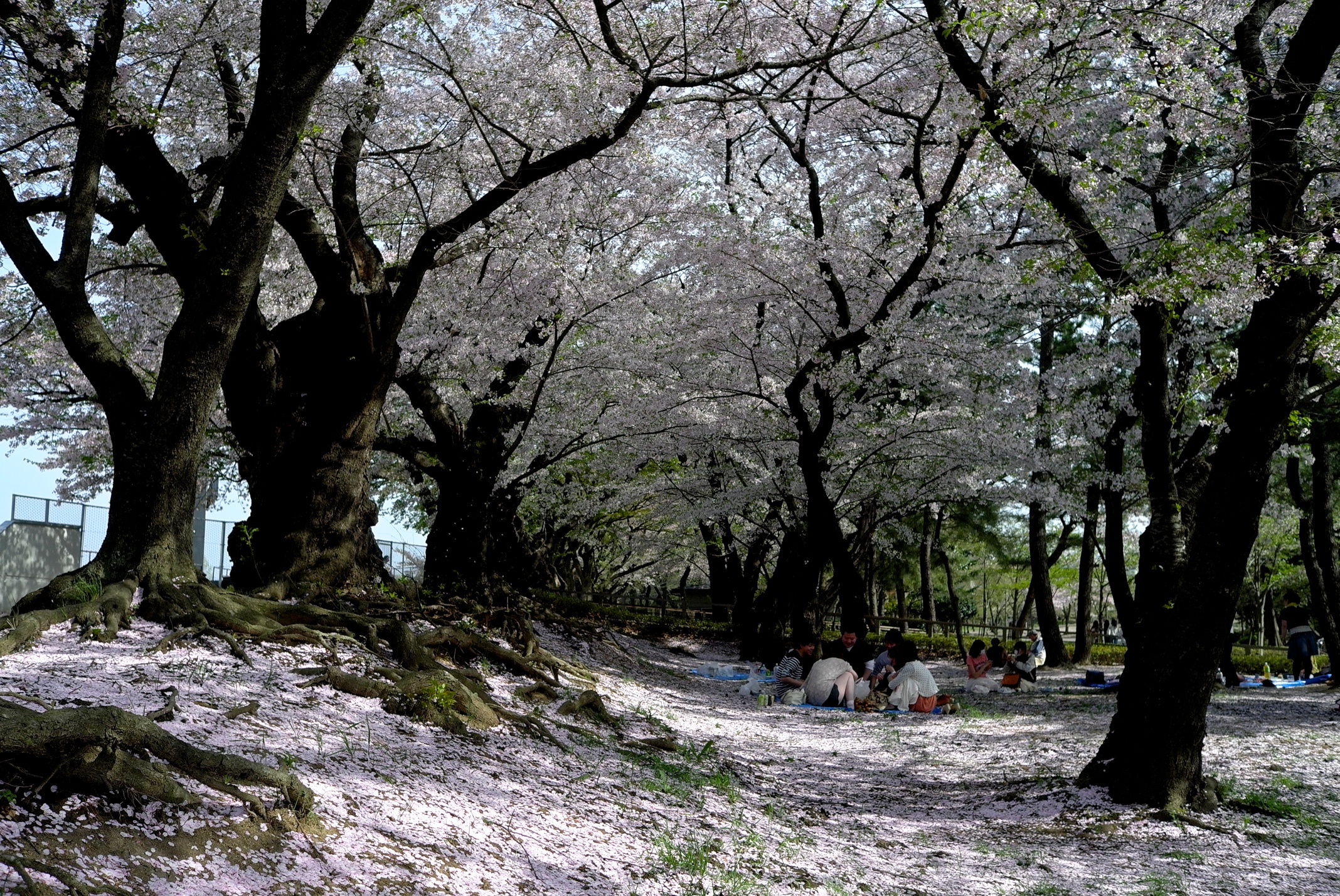
Views of the once a year
#crossing #walk #autunm #air

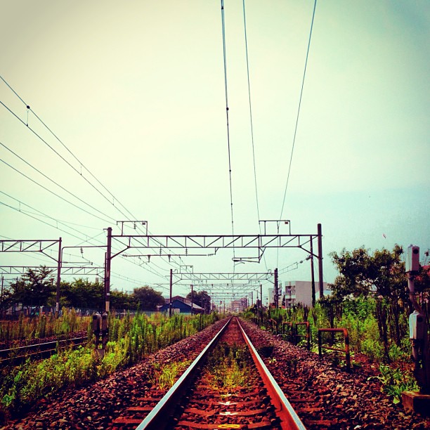
20140213 16:20 Koriyama,Fukushima

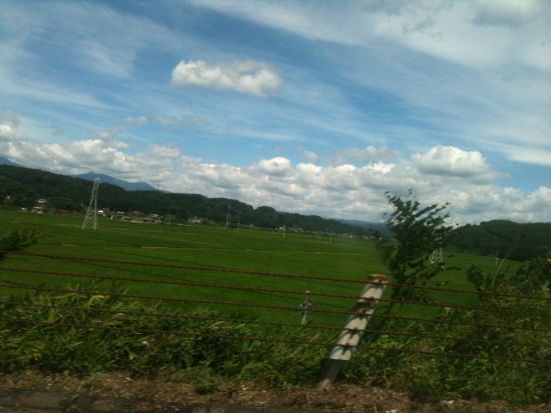
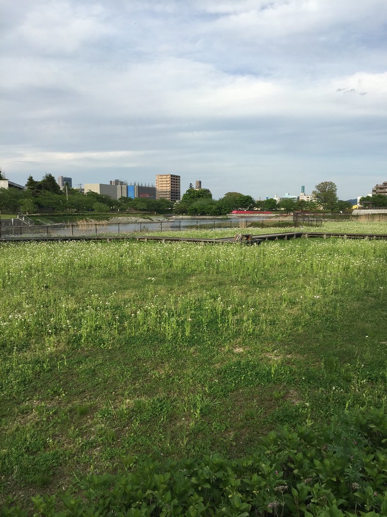
Rice fields
福島一枚目!
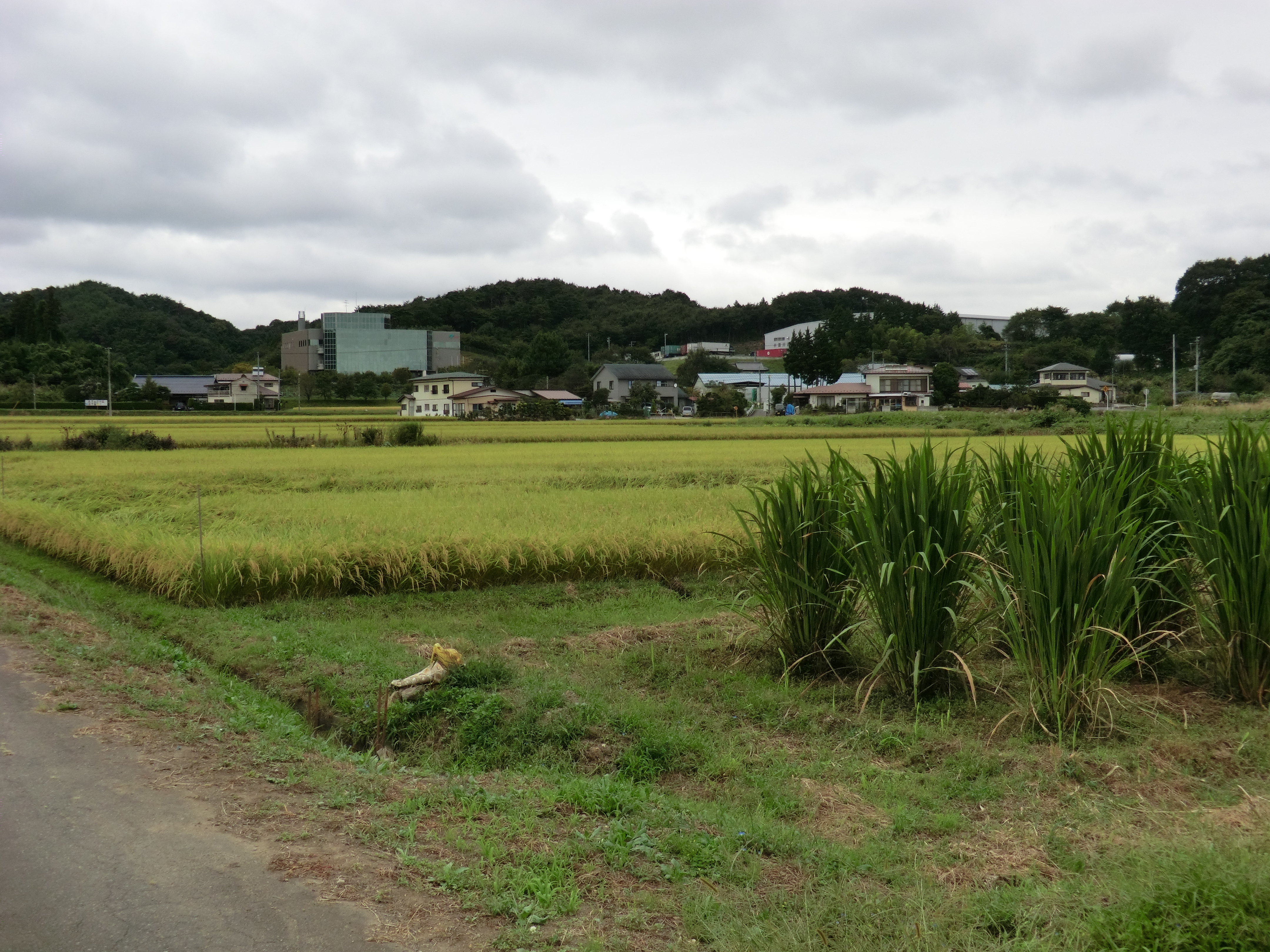
Rice fields, and some other plants
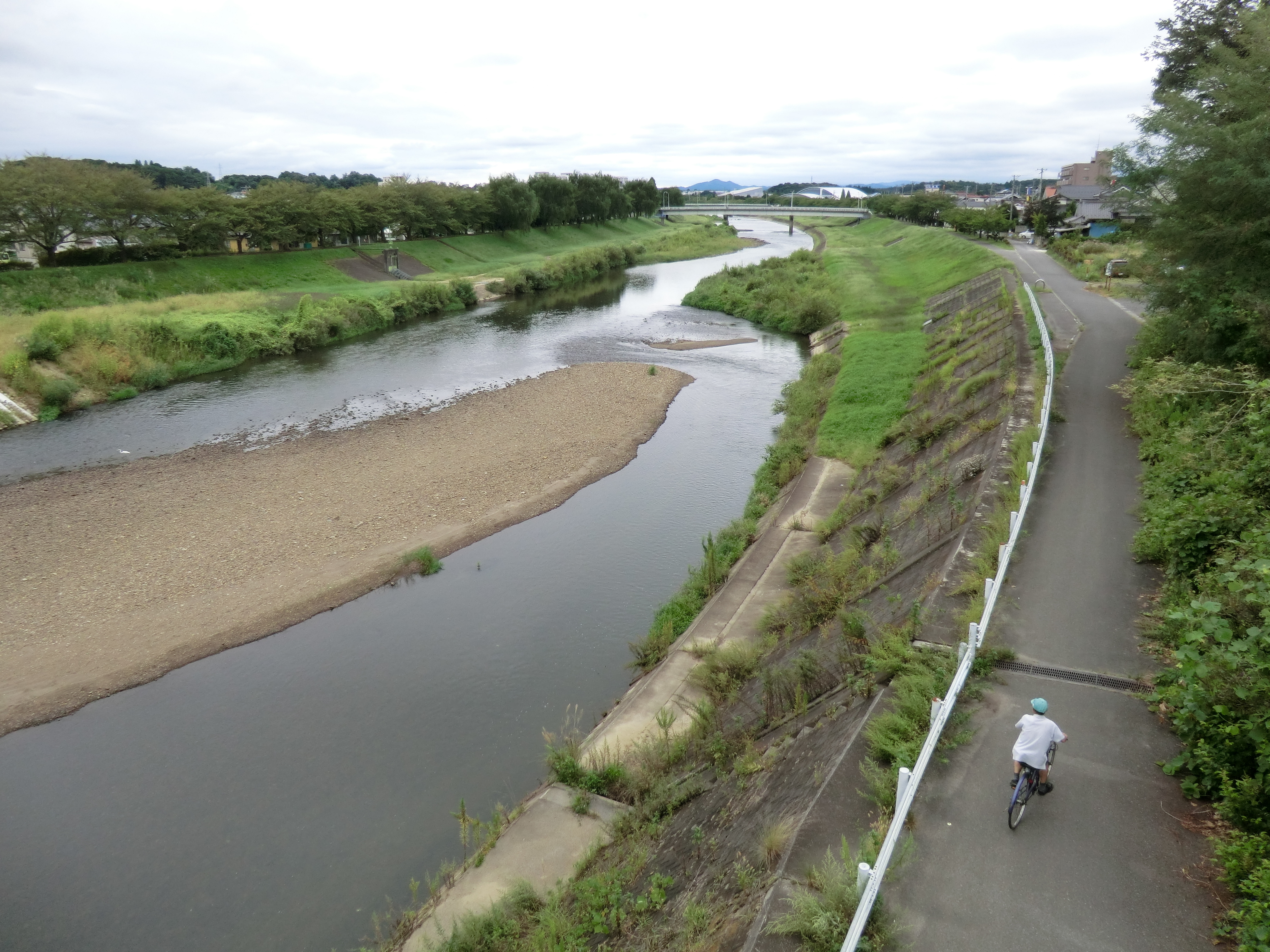
Sukagawa river

near Kasaishi, , Japan
郡山の荒池農村公園。のどか。
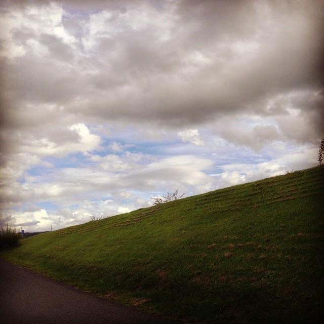
阿武隈川支流安達太良川の堤防と空と
郡山市ふれあい科学館 Fureai Science Center
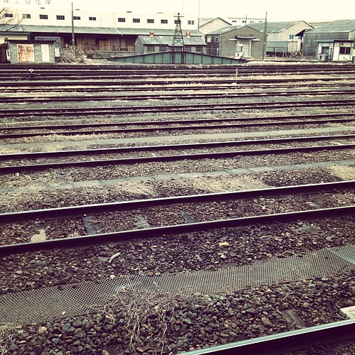
郡山駅の転車台。うう、近くから見たい。 そんなわけで18きっぷDay5は磐越東線からスタート。空いてます☆
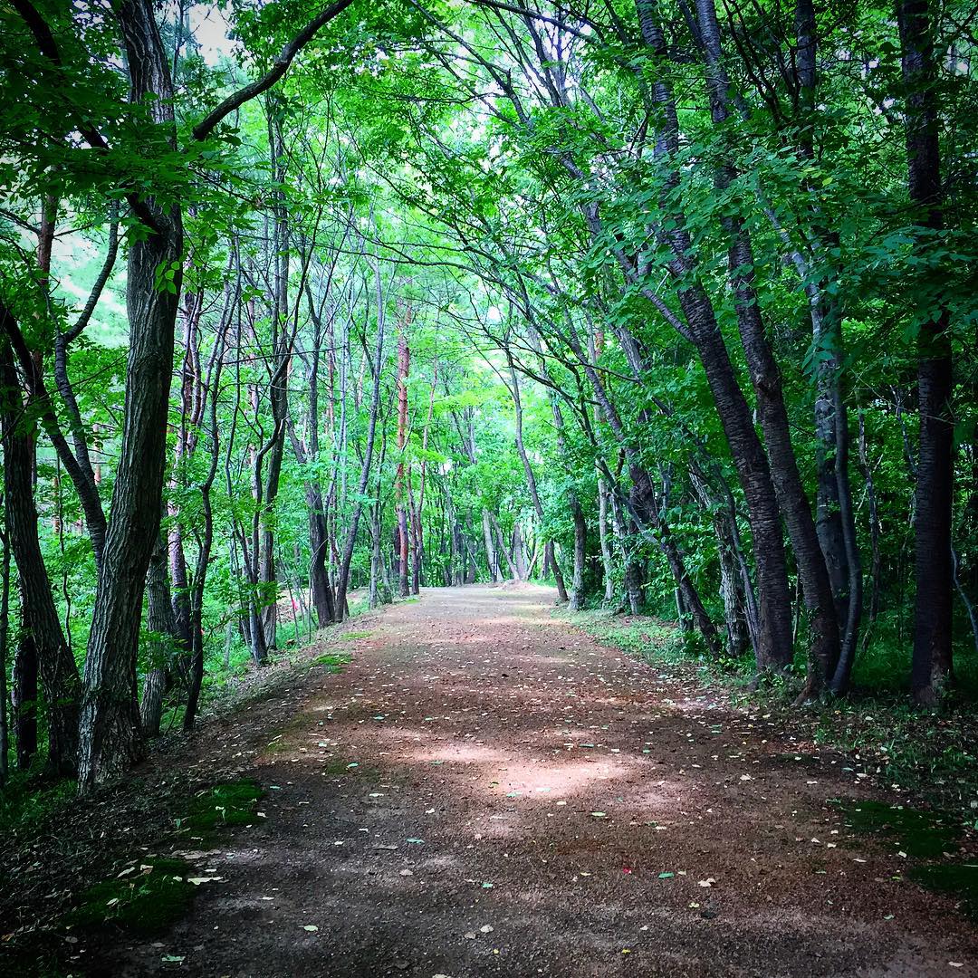
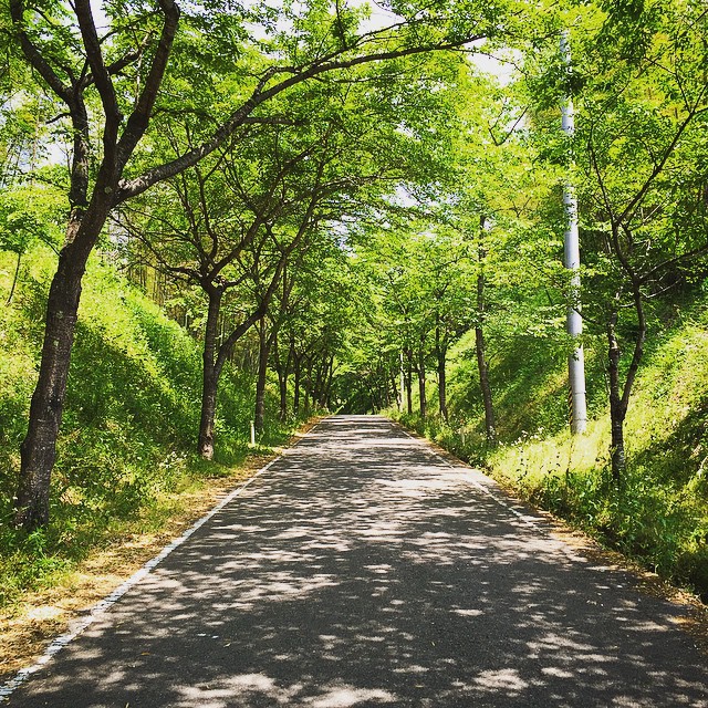
#park #walking #tree #green
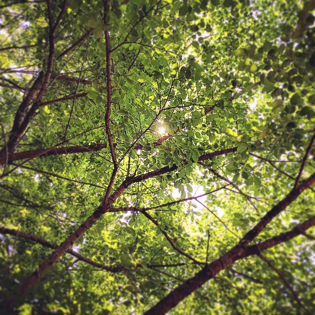
the #new #green #leaves of the #trees in #spring
the new #green #leaves of the #trees in #spring
Topographic Map of Sukagawa, Fukushima Prefecture, Japan
Find elevation by address:

Places in Sukagawa, Fukushima Prefecture, Japan:
Futatsuka-38 Kinosaki, Sukagawa-shi, Fukushima-ken -, Japan
Kitasaenba-17 Naganuma, Sukagawa-shi, Fukushima-ken -, Japan
Tanaka- Shimo, Sukagawa-shi, Fukushima-ken -, Japan
Wakabayashi-21 Ōkanbara, Sukagawa-shi, Fukushima-ken -, Japan
47 Minamiuwamachi, Sukagawa-shi, Fukushima-ken -, Japan
Kitada-99-27 Tategaoka, Sukagawa-shi, Fukushima-ken -, Japan
Places near Sukagawa, Fukushima Prefecture, Japan:
47 Minamiuwamachi, Sukagawa-shi, Fukushima-ken -, Japan
Wakabayashi-21 Ōkanbara, Sukagawa-shi, Fukushima-ken -, Japan
Kitada-99-27 Tategaoka, Sukagawa-shi, Fukushima-ken -, Japan
Futatsuka-38 Kinosaki, Sukagawa-shi, Fukushima-ken -, Japan
Hakoya- Tamuramachi Yatagawa, Kōriyama-shi, Fukushima-ken -, Japan
2-chōme-85 Shizukanishi
Kanisawa- Nakatamachi Takakura, Kōriyama-shi, Fukushima-ken -, Japan
Matsudai-99 Tamuramachi Kamimichiwatashi, Kōriyama-shi, Fukushima-ken -, Japan
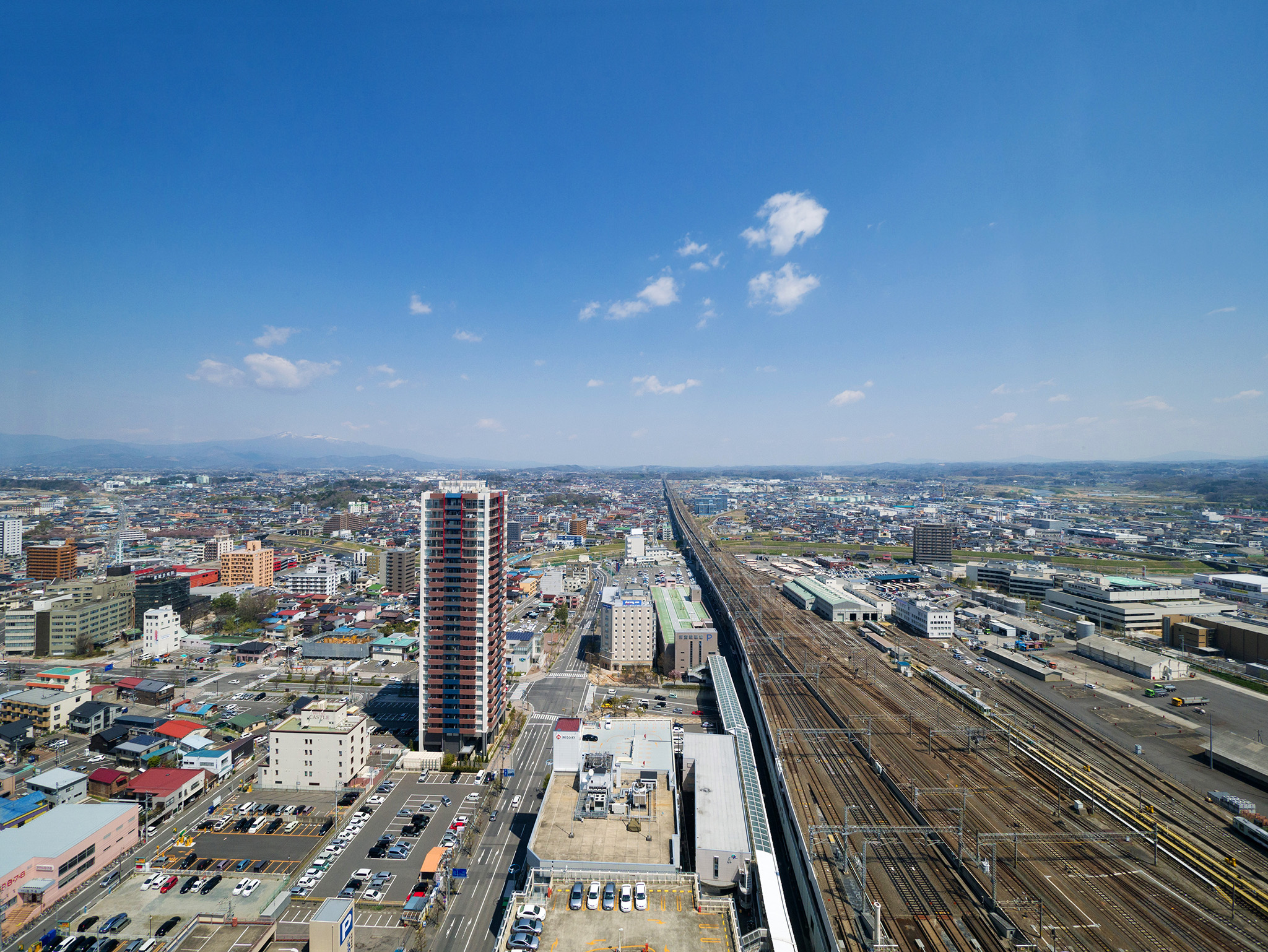
Koriyama
2 Chome-13-21 Shimizudai, Kōriyama-shi, Fukushima-ken -, Japan
Akanashi- Tamuramachi Kawamagari, Kōriyama-shi, Fukushima-ken -, Japan
Ushibone- Tamuramachi Nukazuka, Kōriyama-shi, Fukushima-ken -, Japan
Horinouchi-61 Tamuramachi Tamogami, Kōriyama-shi, Fukushima-ken -, Japan
Miharu
ヘアーサロンリーベ
20-2 Minamimachi
Ōgoe- Funehikimachi Ashizawa, Tamura-shi, Fukushima-ken -, Japan
Tamura District
Iyanome-53 Onoyamakami, Ono-machi, Tamura-gun, Fukushima-ken -, Japan
Sekiba- Karimanda, Ono-machi, Tamura-gun, Fukushima-ken -, Japan
Recent Searches:
- Elevation of Tenjo, Cundinamarca, Colombia
- Elevation of Côte-des-Neiges, Montreal, QC H4A 3J6, Canada
- Elevation of Bobcat Dr, Helena, MT, USA
- Elevation of Zu den Ihlowbergen, Althüttendorf, Germany
- Elevation of Badaber, Peshawar, Khyber Pakhtunkhwa, Pakistan
- Elevation of SE Heron Loop, Lincoln City, OR, USA
- Elevation of Slanický ostrov, 01 Námestovo, Slovakia
- Elevation of Spaceport America, Co Rd A, Truth or Consequences, NM, USA
- Elevation of Warwick, RI, USA
- Elevation of Fern Rd, Whitmore, CA, USA