Elevation of Futatsuka-38 Kinosaki, Sukagawa-shi, Fukushima-ken -, Japan
Location: Japan > Fukushima Prefecture > Sukagawa >
Longitude: 140.279250
Latitude: 37.2753406
Elevation: 276m / 906feet
Barometric Pressure: 98KPa
Elevation Map:
Satellite Map:
Related Photos:

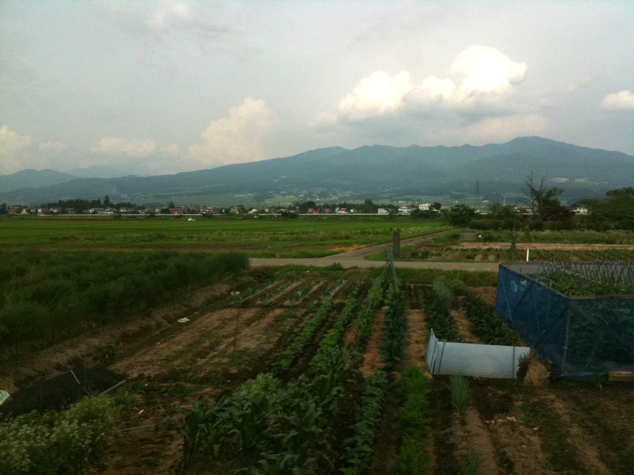
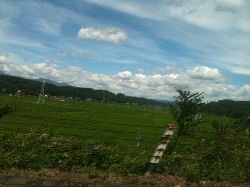
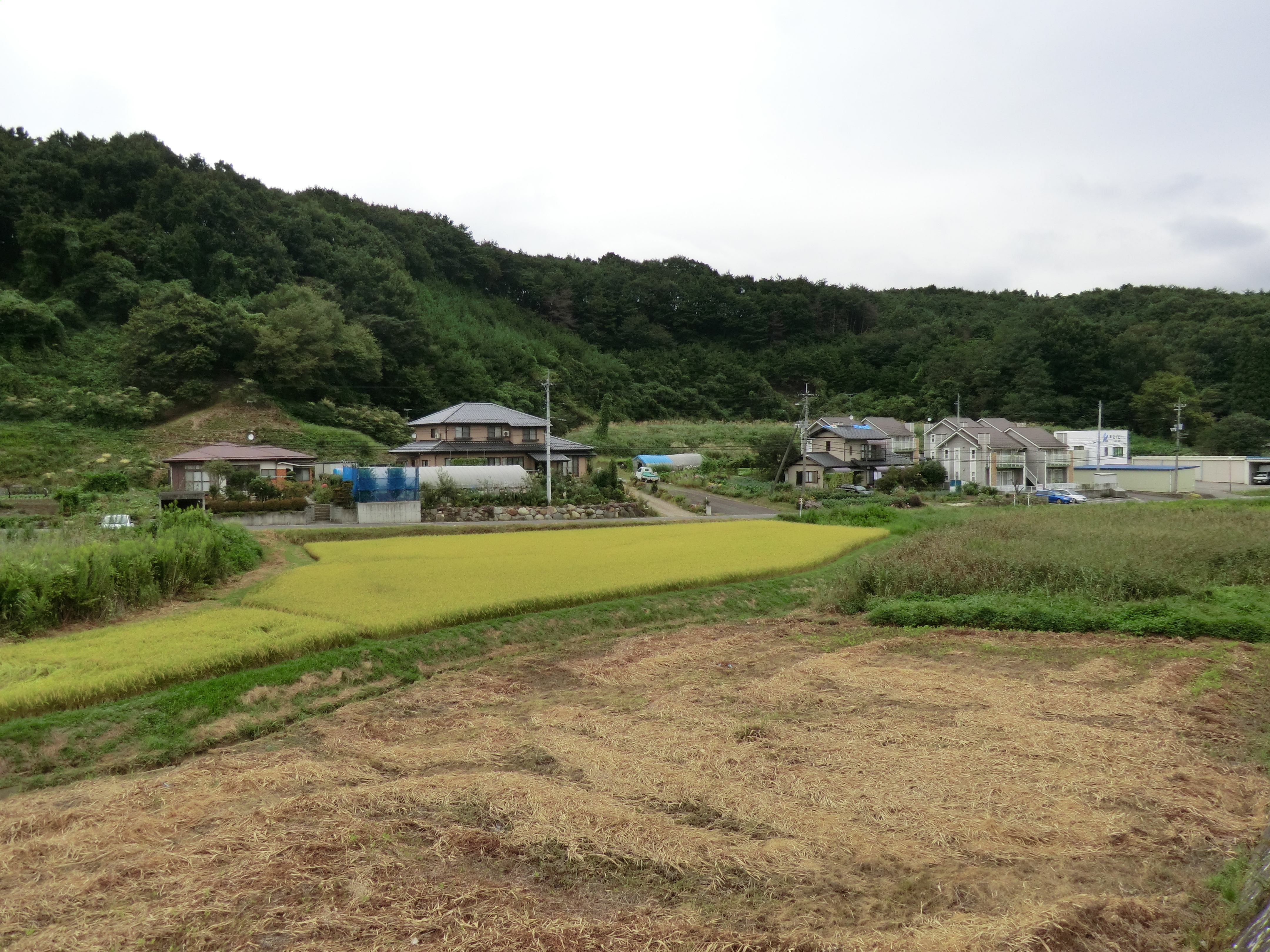
Out standing in the field
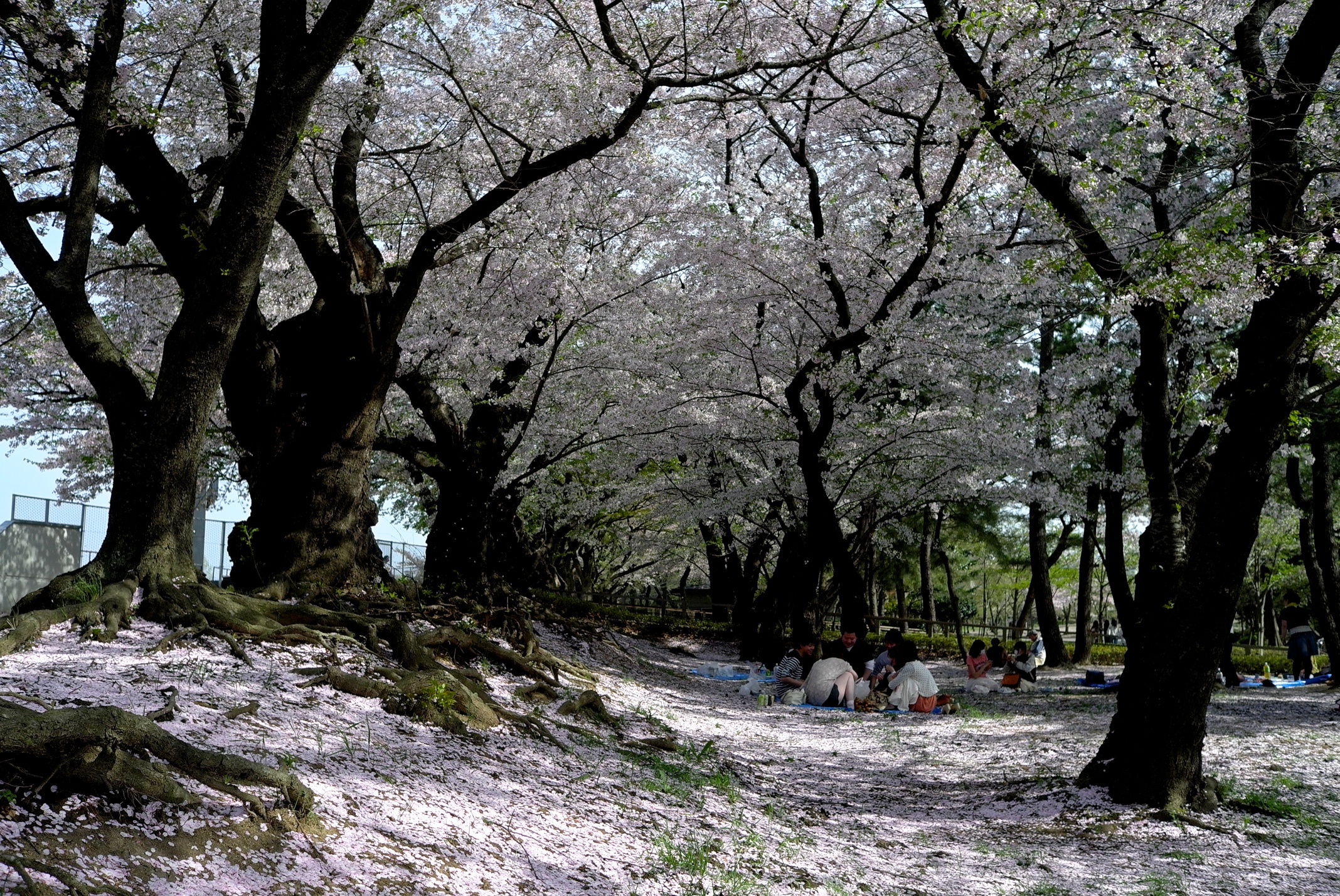
Views of the once a year
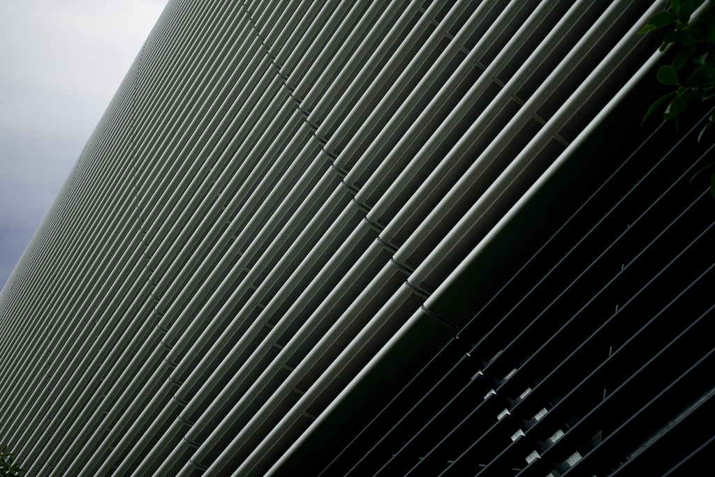
Upward view of Shirakawa Data Center (白河データセンター)

General view of Shirakawa Data Center (白河データセンター)
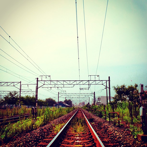
#crossing #walk #autunm #air

20140213 16:20 Koriyama,Fukushima
near Shirakawa-machi, , Japan

Rice fields
福島一枚目!
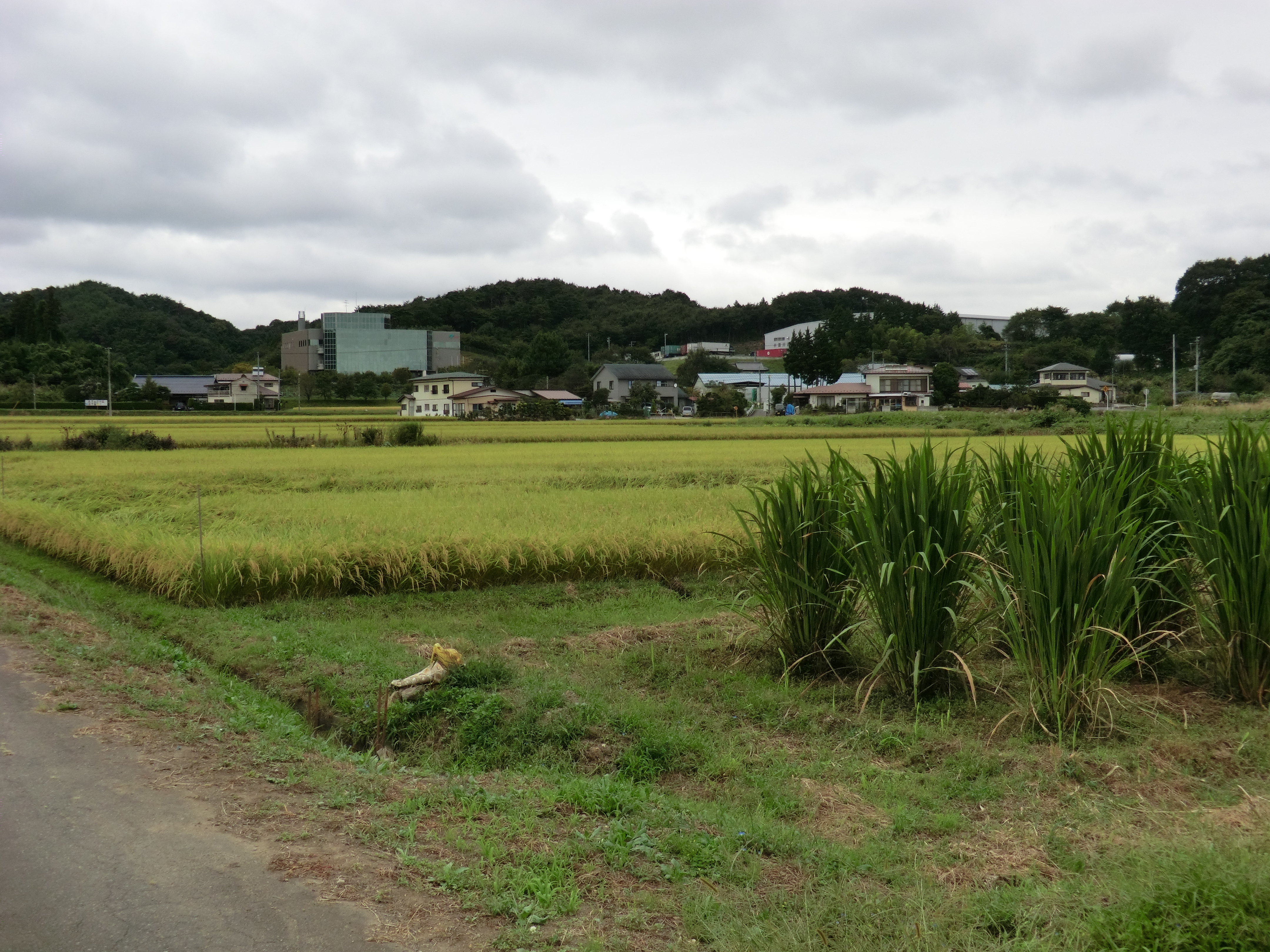
Rice fields, and some other plants
無事帰還 福島県
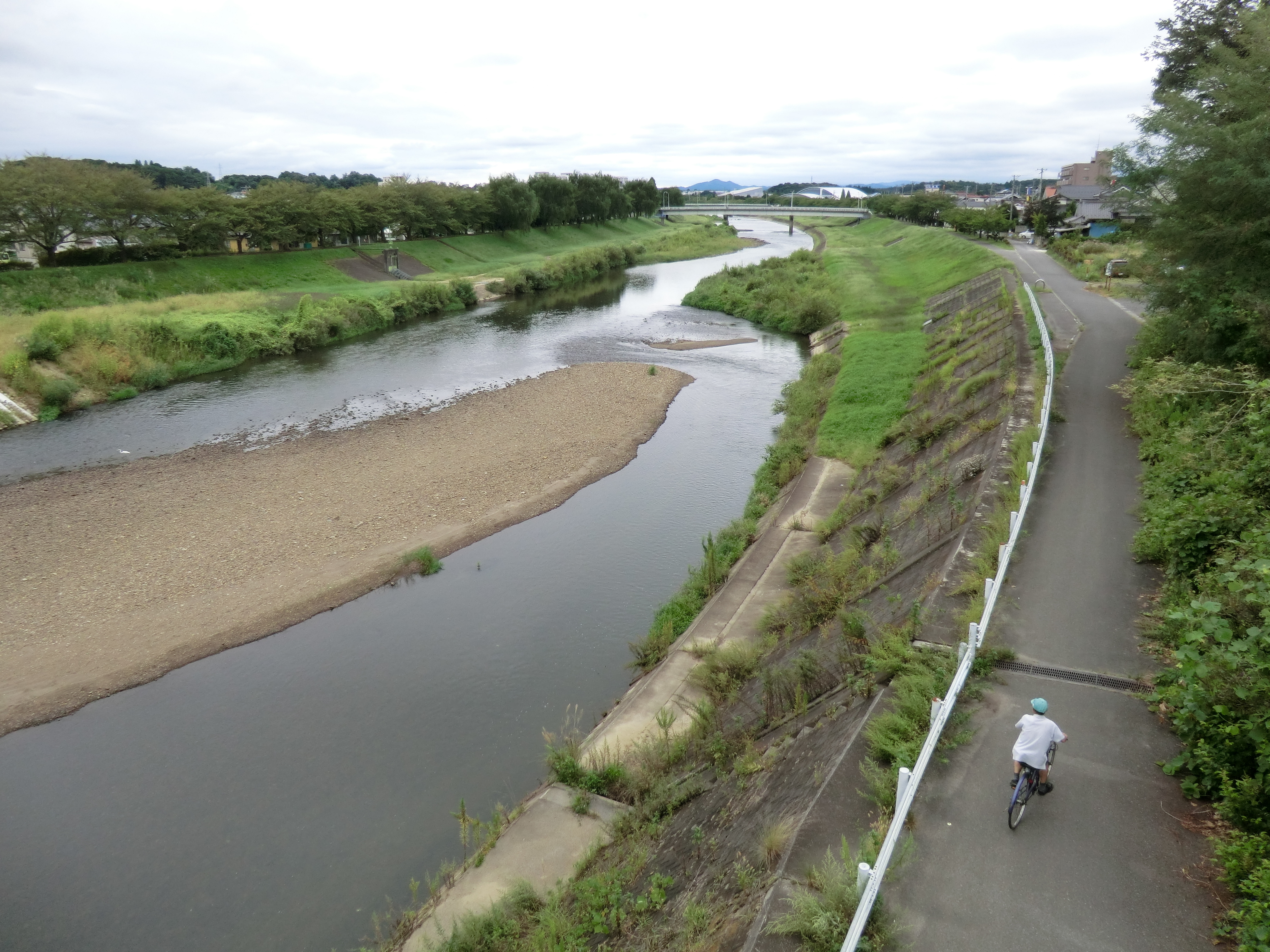
Sukagawa river
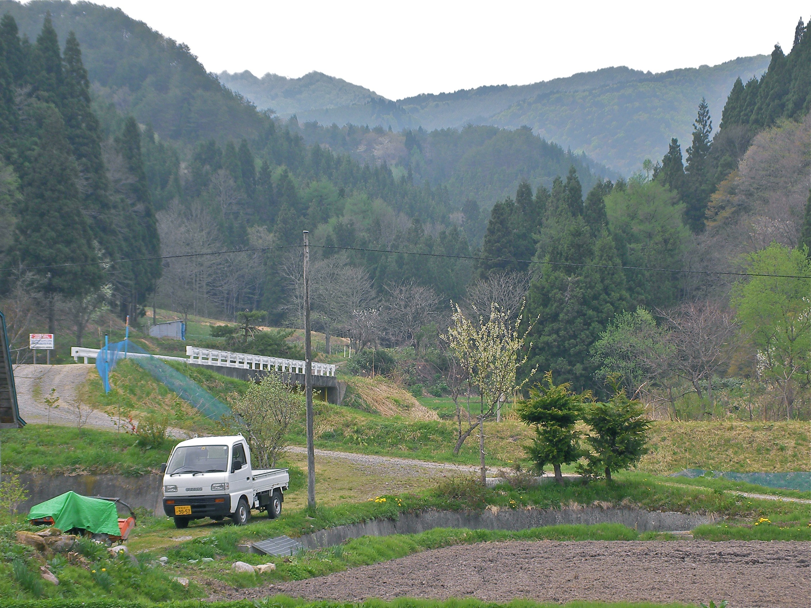
Rice fields

near Kasaishi, , Japan
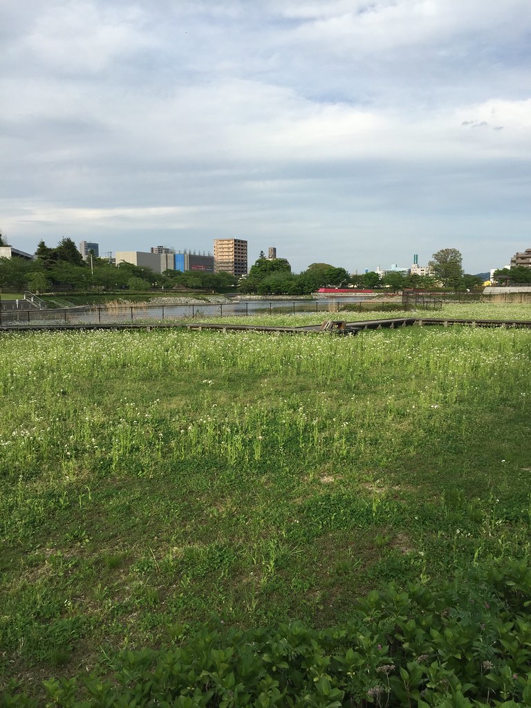
郡山の荒池農村公園。のどか。
Topographic Map of Futatsuka-38 Kinosaki, Sukagawa-shi, Fukushima-ken -, Japan
Find elevation by address:

Places near Futatsuka-38 Kinosaki, Sukagawa-shi, Fukushima-ken -, Japan:
Wakabayashi-21 Ōkanbara, Sukagawa-shi, Fukushima-ken -, Japan
Kitada-99-27 Tategaoka, Sukagawa-shi, Fukushima-ken -, Japan
Sukagawa
47 Minamiuwamachi, Sukagawa-shi, Fukushima-ken -, Japan
2-chōme-85 Shizukanishi
Koriyama
2 Chome-13-21 Shimizudai, Kōriyama-shi, Fukushima-ken -, Japan
Hakoya- Tamuramachi Yatagawa, Kōriyama-shi, Fukushima-ken -, Japan
Kanisawa- Nakatamachi Takakura, Kōriyama-shi, Fukushima-ken -, Japan
Matsudai-99 Tamuramachi Kamimichiwatashi, Kōriyama-shi, Fukushima-ken -, Japan
Akanashi- Tamuramachi Kawamagari, Kōriyama-shi, Fukushima-ken -, Japan
Ushibone- Tamuramachi Nukazuka, Kōriyama-shi, Fukushima-ken -, Japan
Horinouchi-61 Tamuramachi Tamogami, Kōriyama-shi, Fukushima-ken -, Japan
Miharu
ヘアーサロンリーベ
20-2 Minamimachi
Ōgoe- Funehikimachi Ashizawa, Tamura-shi, Fukushima-ken -, Japan
Iyanome-53 Onoyamakami, Ono-machi, Tamura-gun, Fukushima-ken -, Japan
Tamura District
26 Funehikimachi Kōyōdai, Tamura-shi, Fukushima-ken -, Japan
Recent Searches:
- Elevation of Lampiasi St, Sarasota, FL, USA
- Elevation of Elwyn Dr, Roanoke Rapids, NC, USA
- Elevation of Congressional Dr, Stevensville, MD, USA
- Elevation of Bellview Rd, McLean, VA, USA
- Elevation of Stage Island Rd, Chatham, MA, USA
- Elevation of Shibuya Scramble Crossing, 21 Udagawacho, Shibuya City, Tokyo -, Japan
- Elevation of Jadagoniai, Kaunas District Municipality, Lithuania
- Elevation of Pagonija rock, Kranto 7-oji g. 8"N, Kaunas, Lithuania
- Elevation of Co Rd 87, Jamestown, CO, USA
- Elevation of Tenjo, Cundinamarca, Colombia