Elevation of Kagamiishi, Iwase District, Fukushima Prefecture, Japan
Location: Japan > Fukushima Prefecture > Iwase District >
Longitude: 140.343408
Latitude: 37.25283
Elevation: 281m / 922feet
Barometric Pressure: 98KPa
Elevation Map:
Satellite Map:
Related Photos:

Out standing in the field
Upward view of Shirakawa Data Center (白河データセンター)

General view of Shirakawa Data Center (白河データセンター)
Shirakawa Village
福島一枚目!
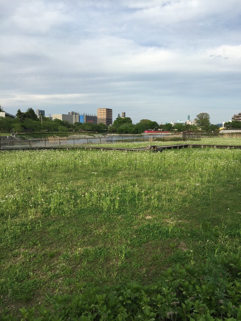
Rice fields, and some other plants
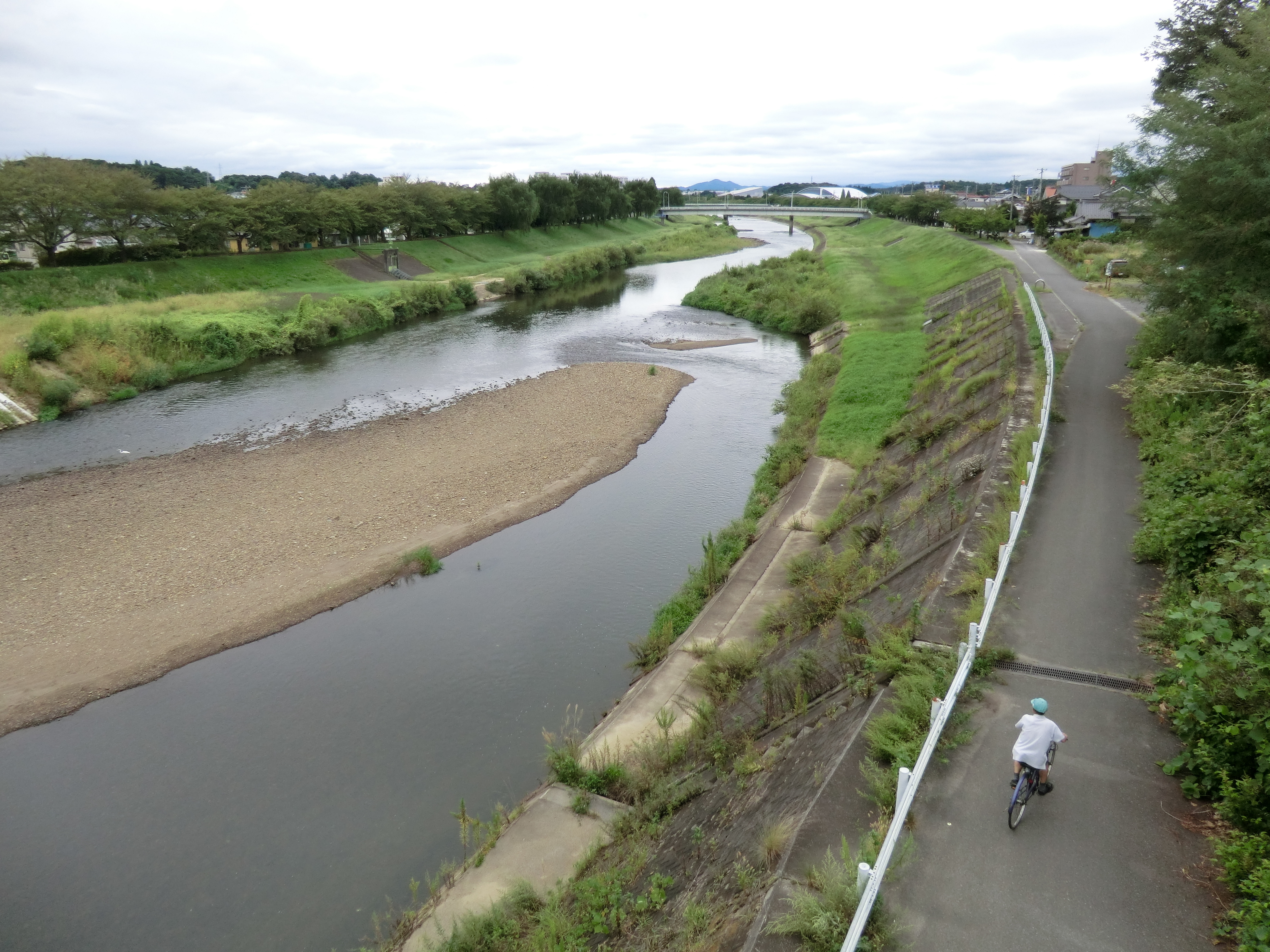
Sukagawa river

near Kasaishi, , Japan
郡山の荒池農村公園。のどか。
#crossing #walk #autunm #air
Topographic Map of Kagamiishi, Iwase District, Fukushima Prefecture, Japan
Find elevation by address:

Places in Kagamiishi, Iwase District, Fukushima Prefecture, Japan:
Places near Kagamiishi, Iwase District, Fukushima Prefecture, Japan:
Nakamachi, Kagamiishi-machi, Iwase-gun, Fukushima-ken -, Japan
Yabuki
Higashiushiroyama-63 Tatsuzaki, Tamakawa-mura, Ishikawa-gun, Fukushima-ken -, Japan
-64 Bunkyōchō, Yabuki-machi, Nishishirakawa-gun, Fukushima-ken -, Japan
Nakanomachi-83 Ganpōji, Tamakawa-mura, Ishikawa-gun, Fukushima-ken -, Japan
Tamakawa
Budō-8 Kawabe, Tamakawa-mura, Ishikawa-gun, Fukushima-ken -, Japan
Miyanomae-11 Fumase, Izumizaki-mura, Nishishirakawa-gun, Fukushima-ken -, Japan
Izumizaki
Ōikemukaiminami-7 Nametsu, Nakajima-mura, Nishishirakawa-gun, Fukushima-ken -, Japan
Shimonouchi, Ishikawa-machi, Ishikawa-gun, Fukushima-ken -, Japan
Takanosu-53 Arayashiki, Ishikawa-machi, Ishikawa-gun, Fukushima-ken -, Japan
Kurumida-30 Kitasugama, Tamakawa-mura, Ishikawa-gun, Fukushima-ken -, Japan
Takidashita-15 Kitahirayama, Izumizaki-mura, Nishishirakawa-gun, Fukushima-ken -, Japan
Arayashiki-24 Magaki, Ishikawa-machi, Ishikawa-gun, Fukushima-ken -, Japan
Ura-22 Akabane, Ishikawa-machi, Ishikawa-gun, Fukushima-ken -, Japan
Fukuda--1 Sekiwagu, Izumizaki-mura, Nishishirakawa-gun, Fukushima-ken -, Japan
Hanamidō-65 Minamisugama, Tamakawa-mura, Ishikawa-gun, Fukushima-ken -, Japan
1 Maenouchi, Ishikawa-machi, Ishikawa-gun, Fukushima-ken -, Japan
Yanase, Ishikawa-machi, Ishikawa-gun, Fukushima-ken -, Japan
Recent Searches:
- Elevation of Tenjo, Cundinamarca, Colombia
- Elevation of Côte-des-Neiges, Montreal, QC H4A 3J6, Canada
- Elevation of Bobcat Dr, Helena, MT, USA
- Elevation of Zu den Ihlowbergen, Althüttendorf, Germany
- Elevation of Badaber, Peshawar, Khyber Pakhtunkhwa, Pakistan
- Elevation of SE Heron Loop, Lincoln City, OR, USA
- Elevation of Slanický ostrov, 01 Námestovo, Slovakia
- Elevation of Spaceport America, Co Rd A, Truth or Consequences, NM, USA
- Elevation of Warwick, RI, USA
- Elevation of Fern Rd, Whitmore, CA, USA