Elevation of Iwase District, Fukushima Prefecture, Japan
Location: Japan > Fukushima Prefecture >
Longitude: 140.075
Latitude: 37.288056
Elevation: 877m / 2877feet
Barometric Pressure: 91KPa
Elevation Map:
Satellite Map:
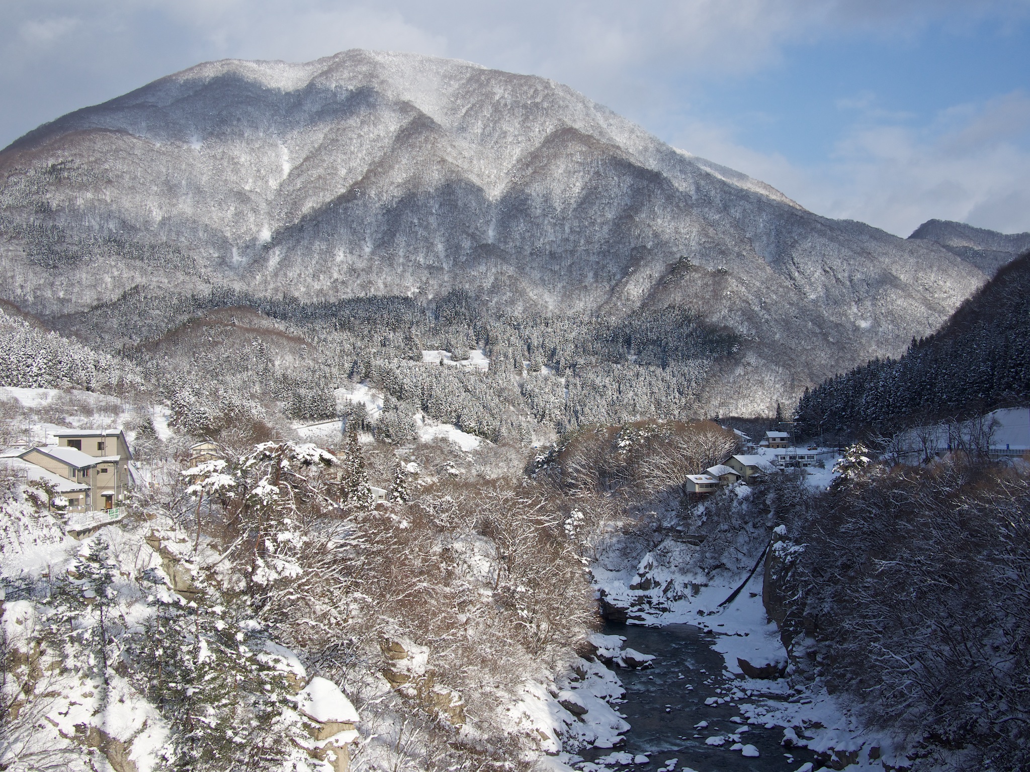
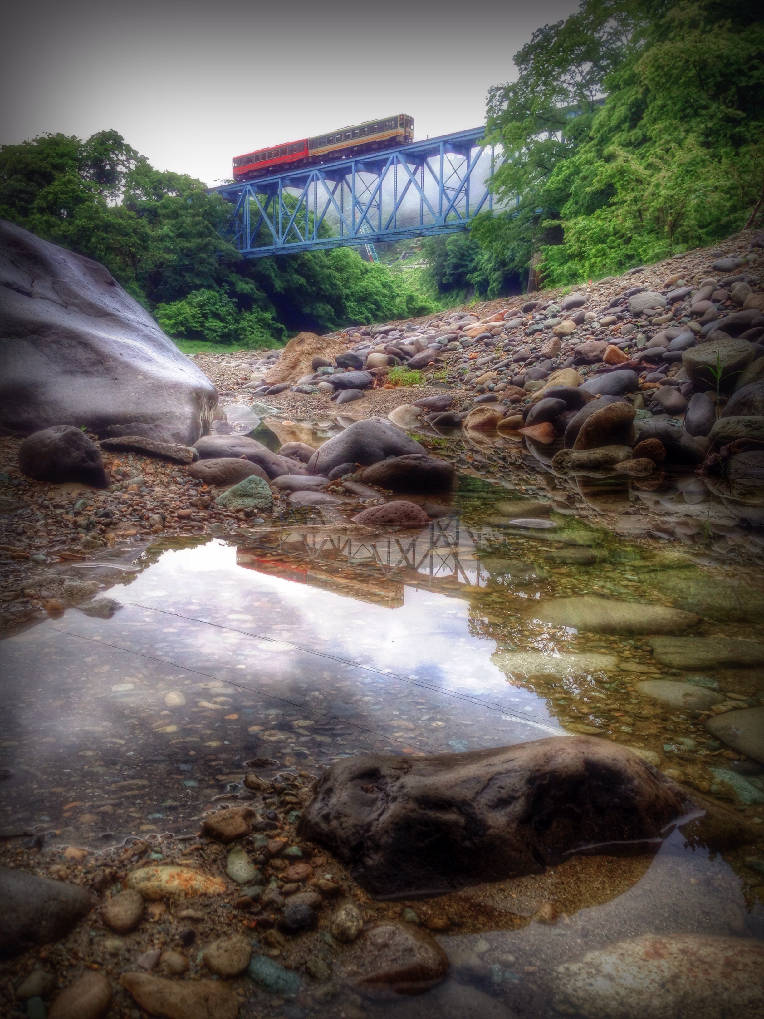
Related Photos:
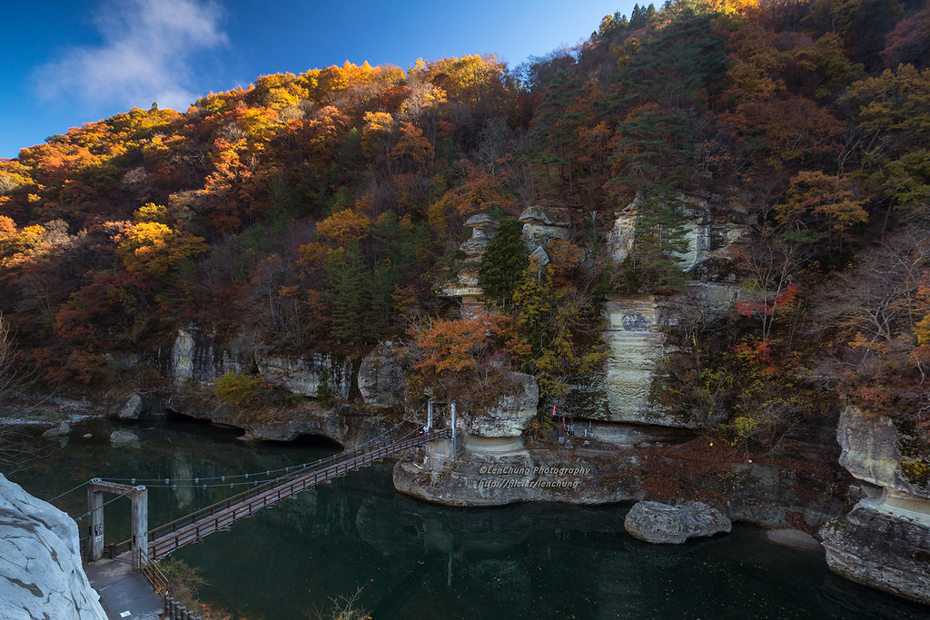
塔の岪。塔のへつり。下郷町。福島県。 Shimogo, Fukushima, Japan _IMG_0544
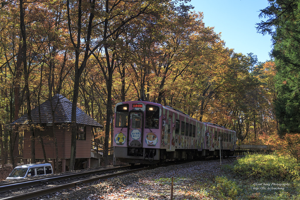
塔のへつり駅。会津線。福島 Shimogo, Fukushima, Japan _IMG_0635
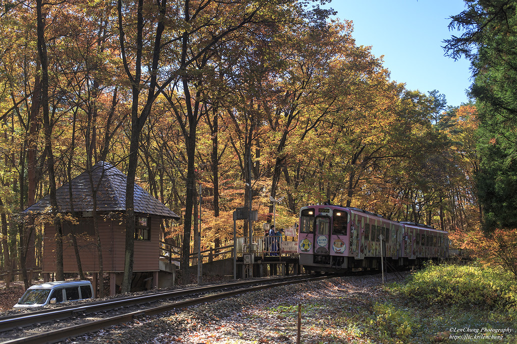
塔のへつり駅。会津線。福島 Shimogo, Fukushima, Japan _IMG_0624
塔の岪。塔のへつり。下郷町。福島県。 Shimogo, Fukushima, Japan _IMG_0593
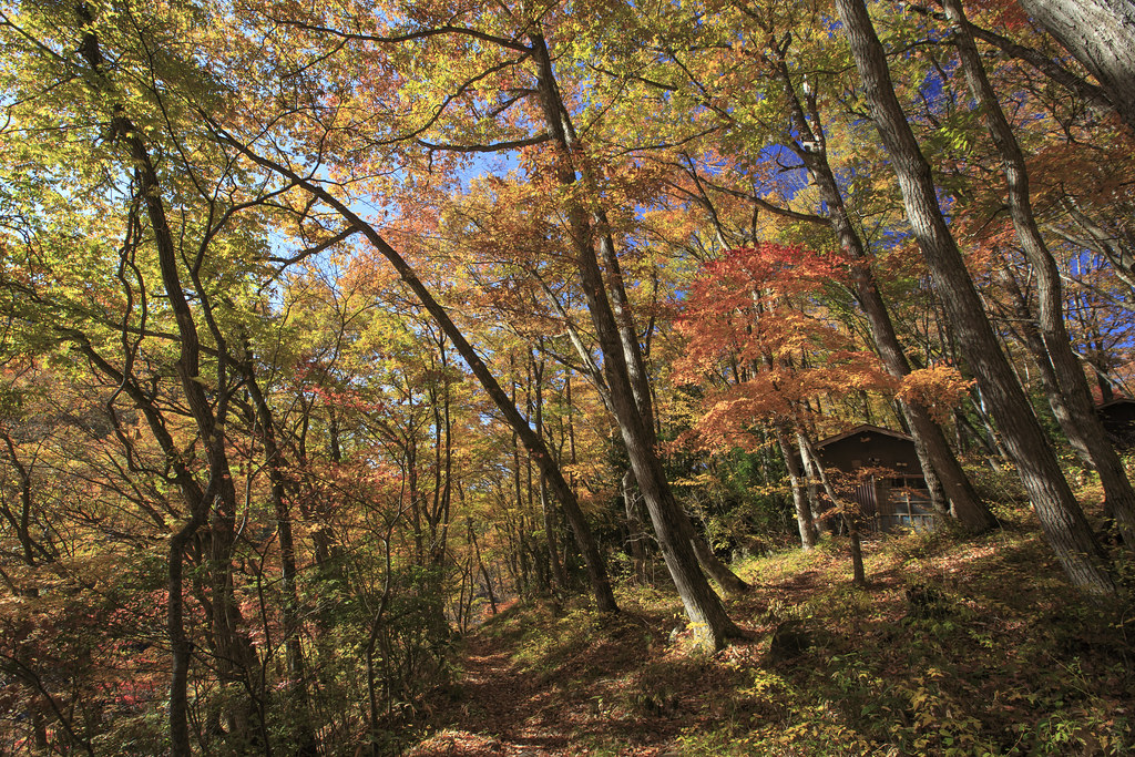
British Hills, Fukushima, Japan (view from the nature trail)

Shimogo View
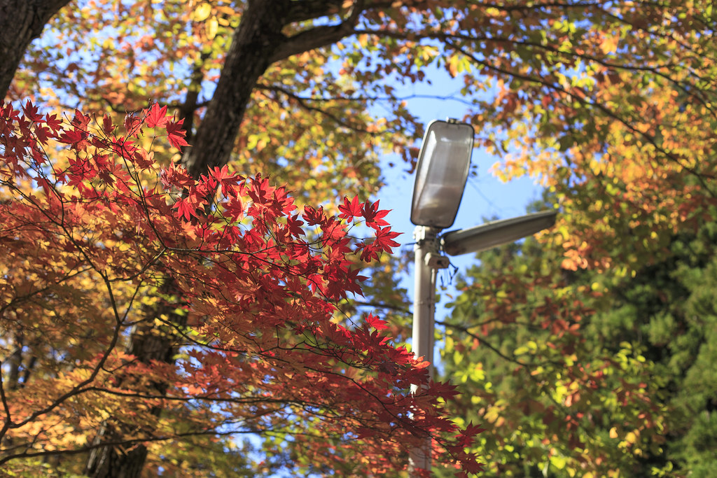
秋的色彩 Autumn colors _IMG_0652

Admiring nature's form - volcanic river gorge in Minami Aizu, Japan

Mossy lantern in forest

Mountain stream becoming a mirror river, Tohoku, Japan

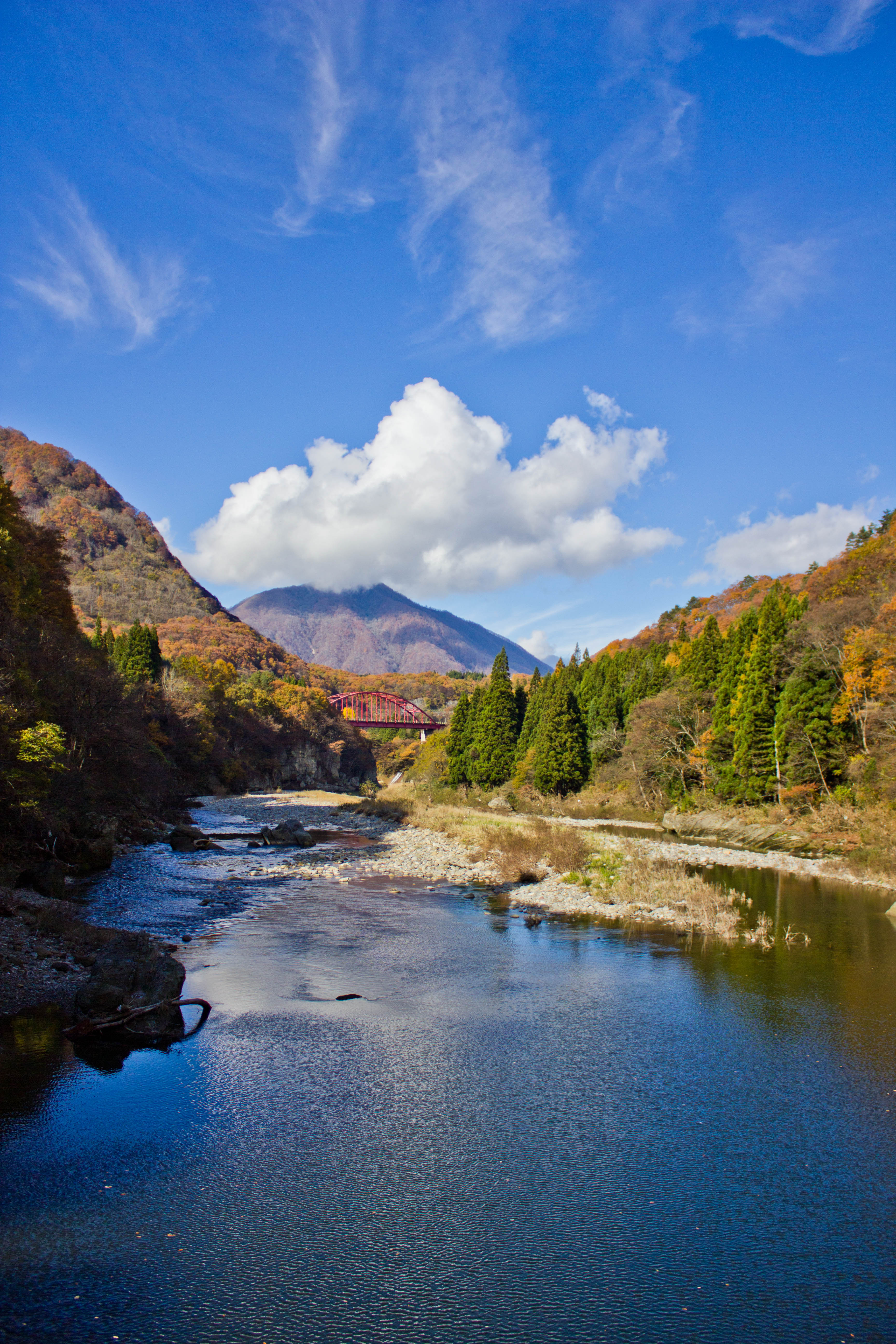
Bridge over lush river gorge, North Japan
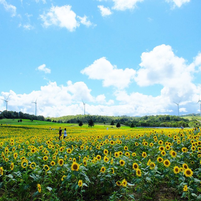
#sunflower #clouds #sky
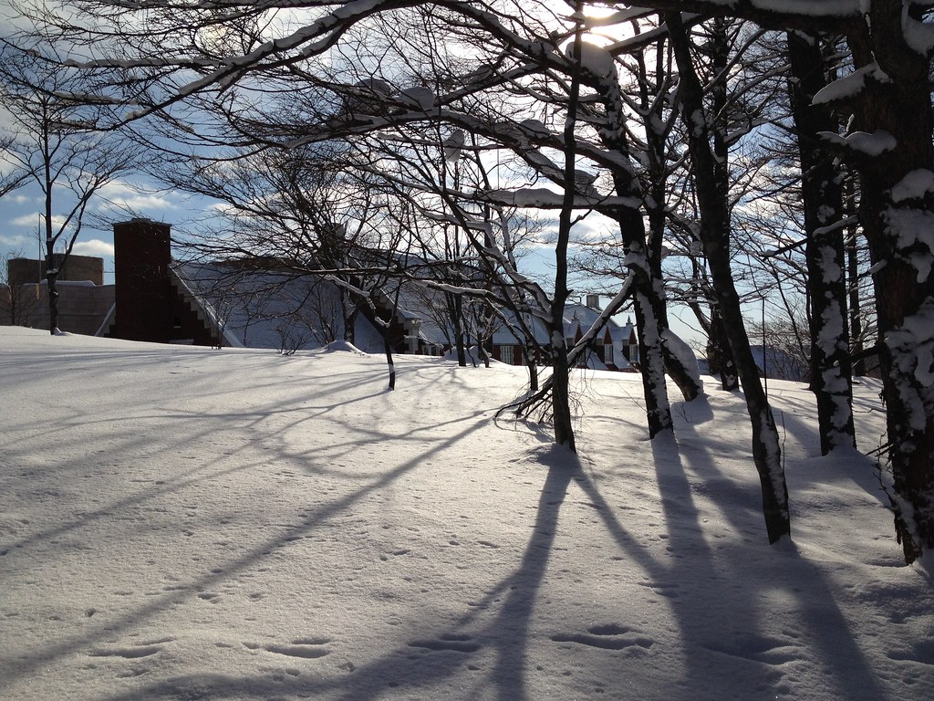
Winter Vista

Volcanic gorge shaped by ancient nature, North Japan
After the nighttime snow
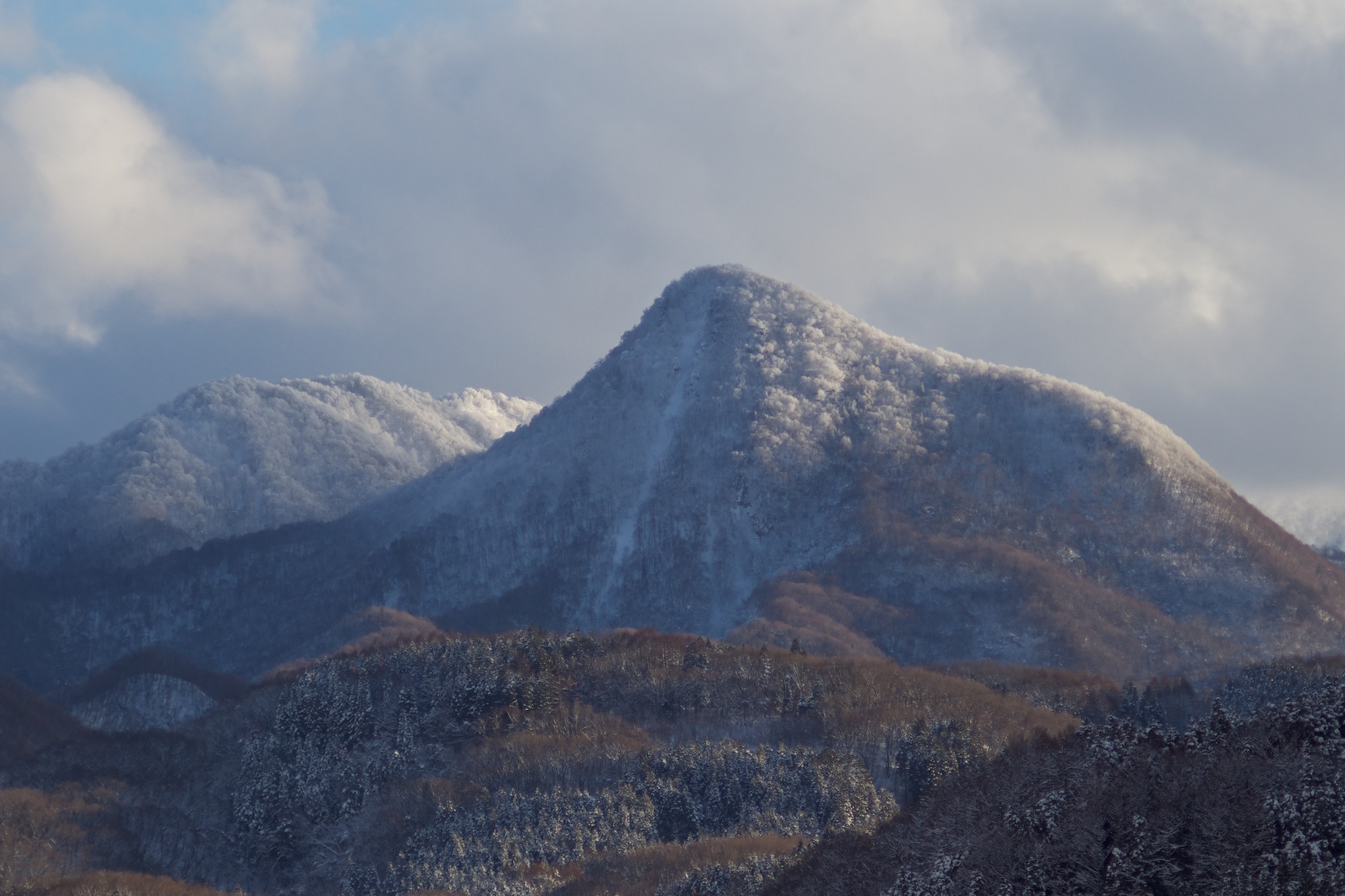
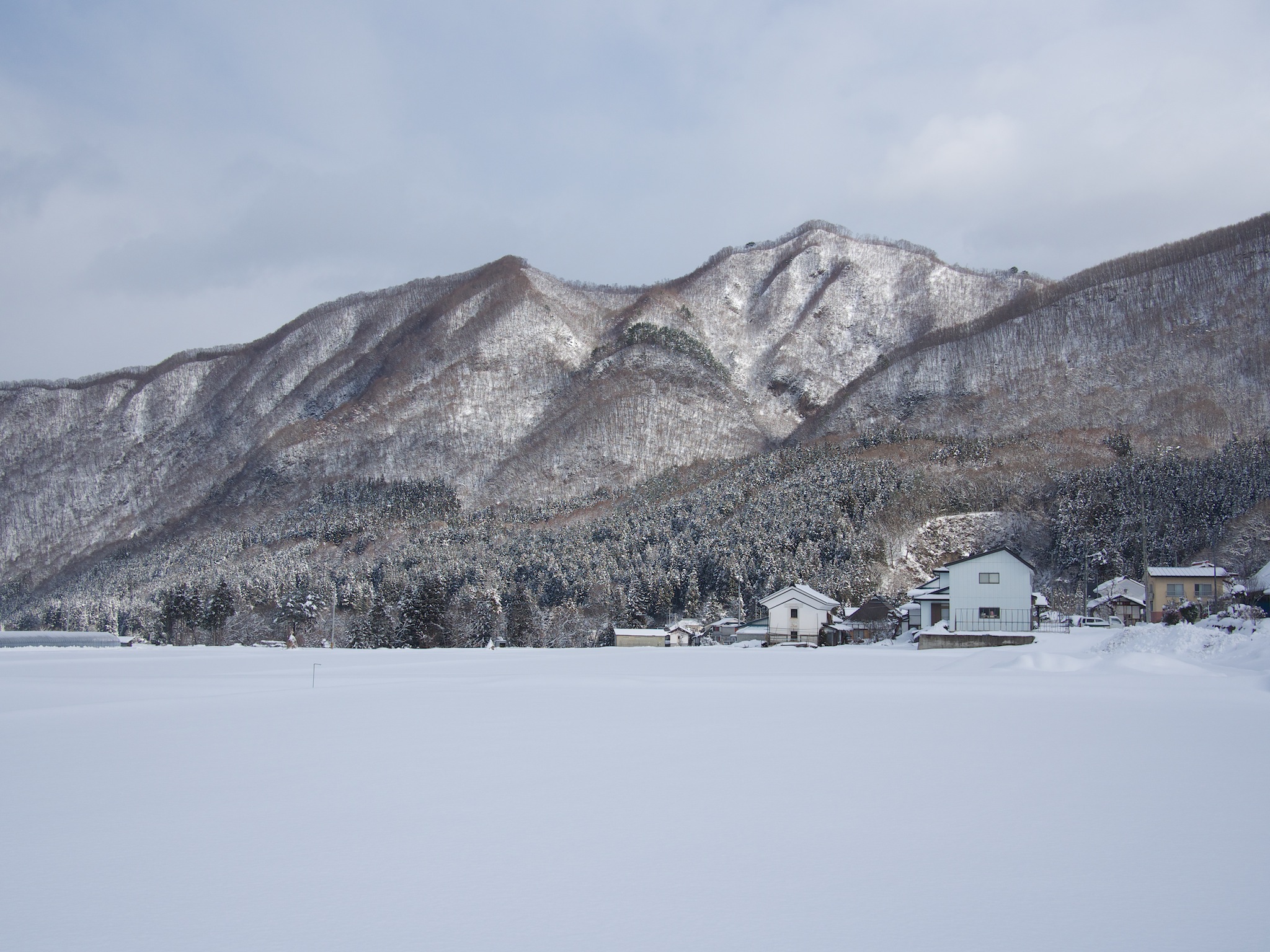
Winter Mountains
水鏡 / The surface of the water like a mirror
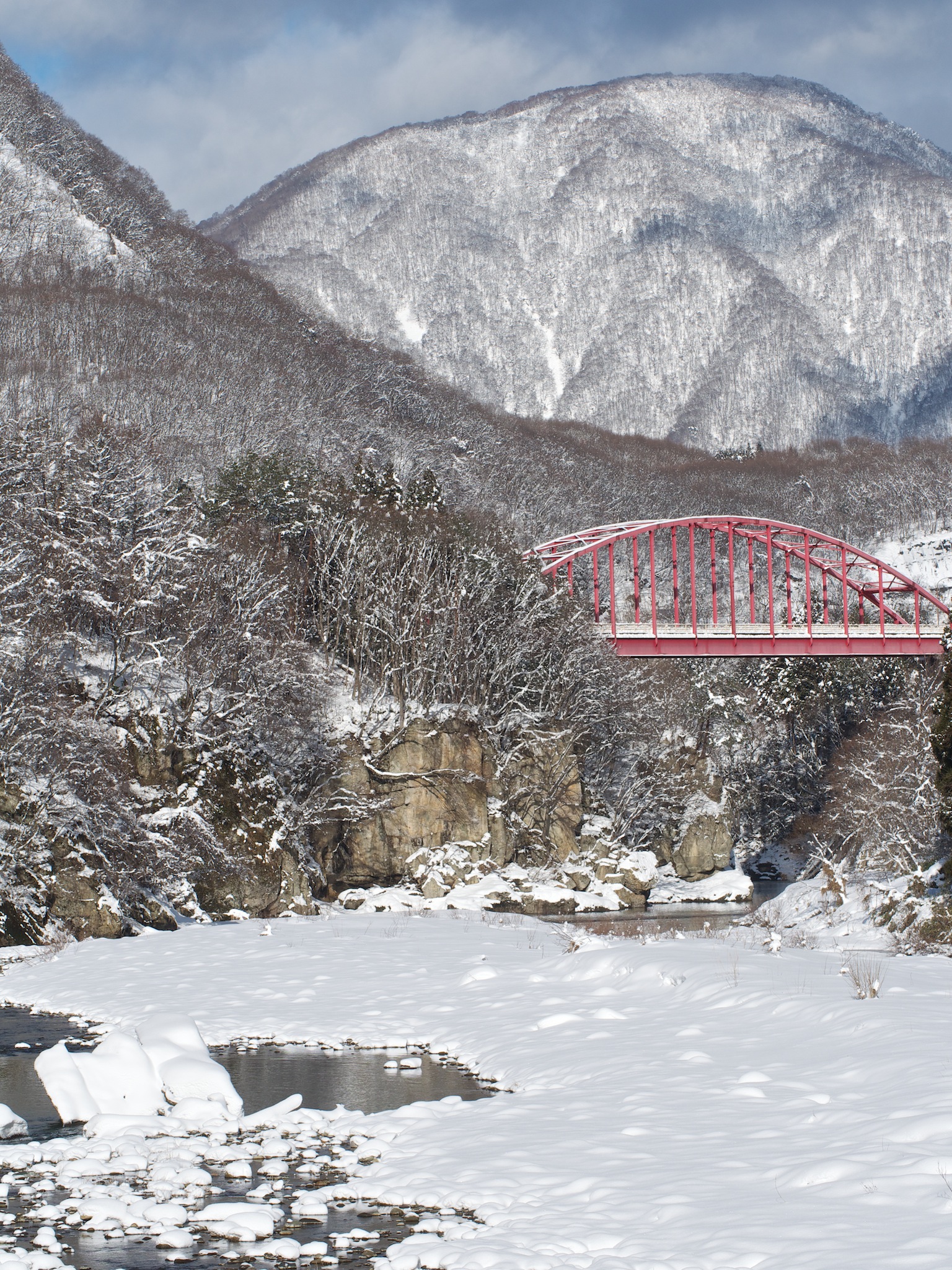
Red Bridge in Morning
Tou no Hetsuri, Fukushima
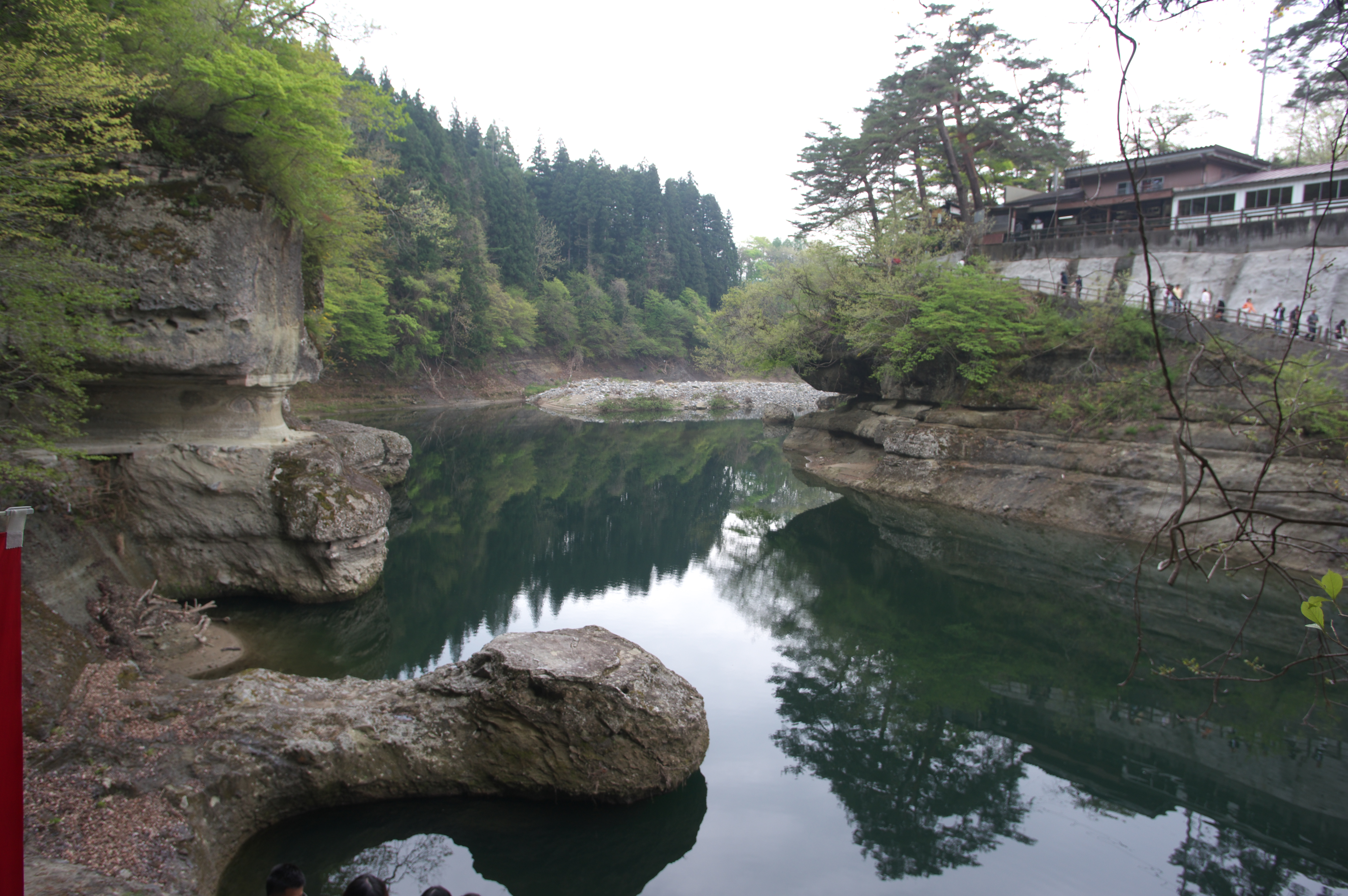
Tounohetsuri (塔の岪)
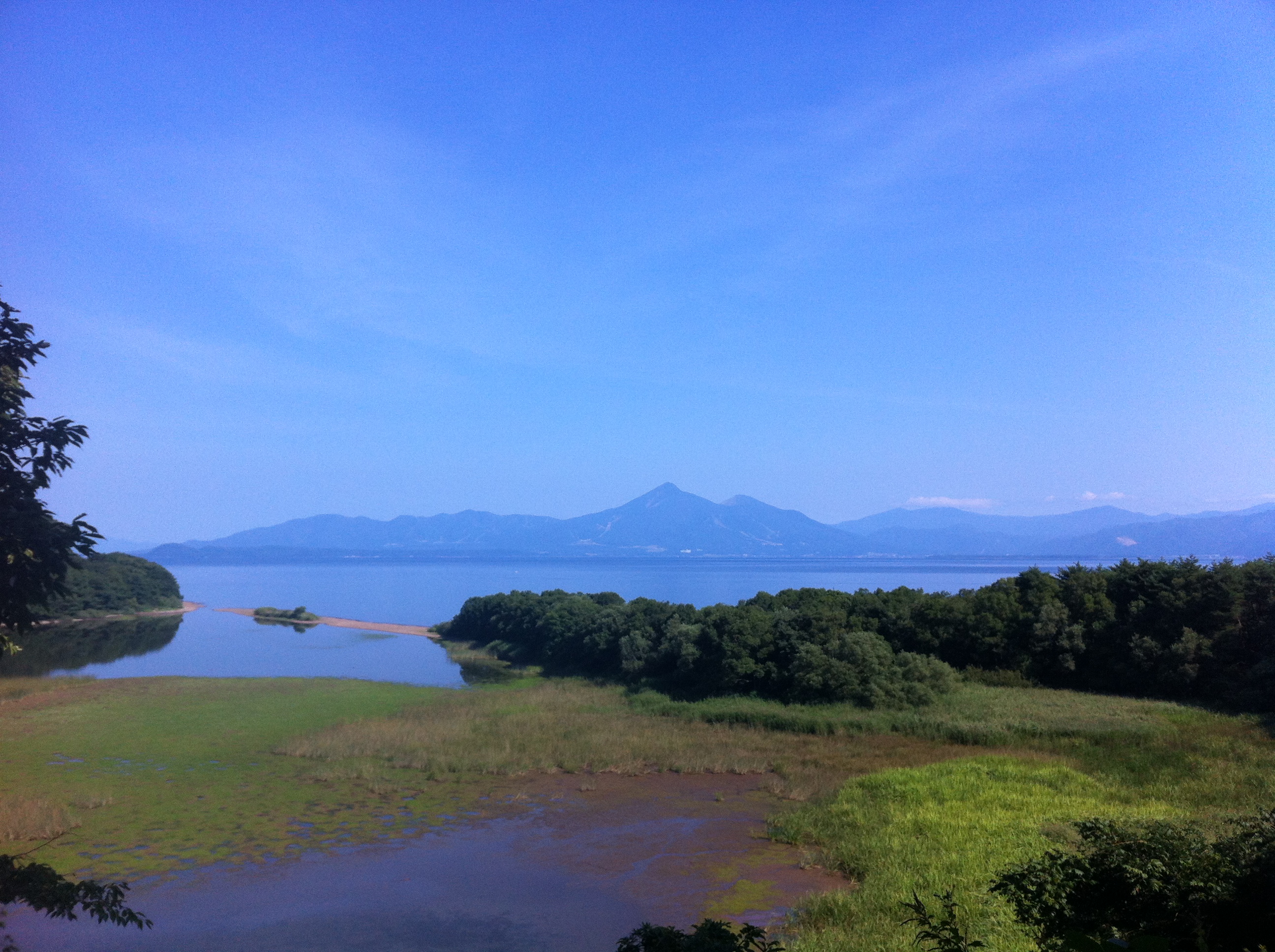
Around Inawashiro Lake
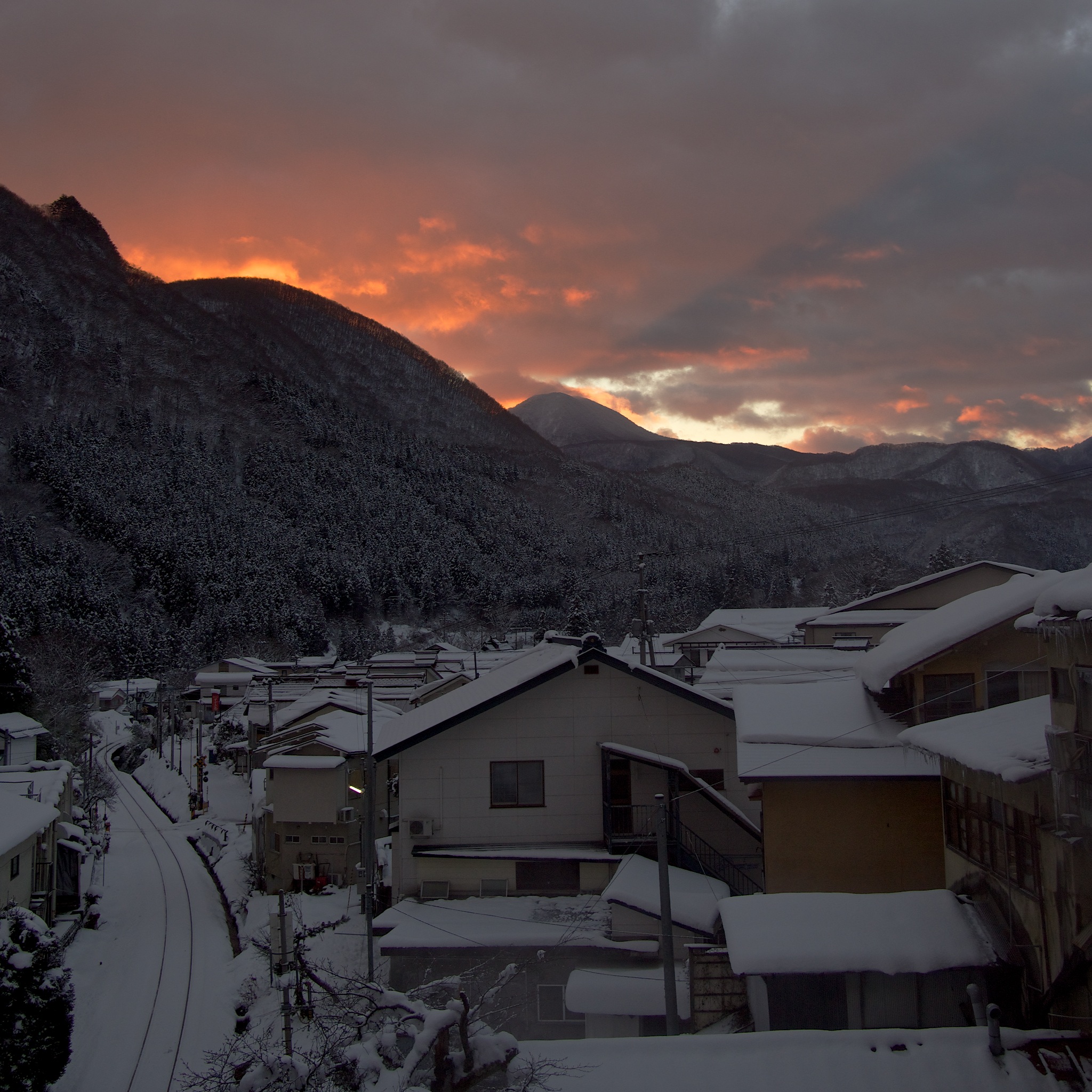
Mountain Shadow
Topographic Map of Iwase District, Fukushima Prefecture, Japan
Find elevation by address:

Places in Iwase District, Fukushima Prefecture, Japan:
Places near Iwase District, Fukushima Prefecture, Japan:
Shimokawauchi-1-16 Yumoto, Tenei-mura, Iwase-gun, Fukushima-ken -, Japan
Kabahinata-80 Mabune, Nishigō-mura, Nishishirakawa-gun, Fukushima-ken -, Japan
Nishishirakawa District
Kitasaenba-17 Naganuma, Sukagawa-shi, Fukushima-ken -, Japan
Mt. Asahi
Tanaka- Shimo, Sukagawa-shi, Fukushima-ken -, Japan
Nishigo
Tsukinukizawa-7 Nagasaka, Nishigō-mura, Nishishirakawa-gun, Fukushima-ken -, Japan
Tenei
Mount Nasu
Futatsuka-38 Kinosaki, Sukagawa-shi, Fukushima-ken -, Japan
Ōishi- Shionō, Shimogō-machi, Minamiaizu-gun, Fukushima-ken -, Japan
Shimogo
Yumoto
Shirakawa Komine Castle
Kakunai
Shirakawa
24 Uenodai, Shirakawa-shi, Fukushima-ken -, Japan
Ouchi-juku
Miyanomae-11 Fumase, Izumizaki-mura, Nishishirakawa-gun, Fukushima-ken -, Japan
Recent Searches:
- Elevation of Zimmer Trail, Pennsylvania, USA
- Elevation of 87 Kilmartin Ave, Bristol, CT, USA
- Elevation of Honghe National Nature Reserve, QP95+PJP, Tongjiang, Heilongjiang, Jiamusi, Heilongjiang, China
- Elevation of Hercules Dr, Colorado Springs, CO, USA
- Elevation of Szlak pieszy czarny, Poland
- Elevation of Griffing Blvd, Biscayne Park, FL, USA
- Elevation of Kreuzburger Weg 13, Düsseldorf, Germany
- Elevation of Gateway Blvd SE, Canton, OH, USA
- Elevation of East W.T. Harris Boulevard, E W.T. Harris Blvd, Charlotte, NC, USA
- Elevation of West Sugar Creek, Charlotte, NC, USA