Elevation of Stonefort Township, IL, USA
Location: United States > Illinois > Williamson County >
Longitude: -88.768638
Latitude: 37.6535481
Elevation: 139m / 456feet
Barometric Pressure: 100KPa
Elevation Map:
Satellite Map:
Related Photos:

Zoomed view during the clouds.

Morning view at work.

Carrier Mills, IL (formerly known as the town of Catskin and also known as Morrilsville)

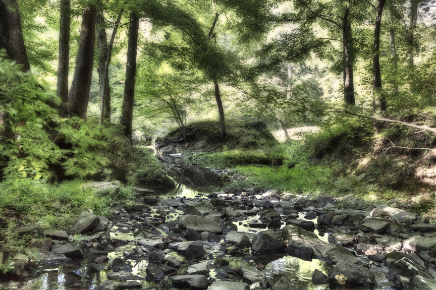
Burden Falls and Valley

Burden Falls Profile View
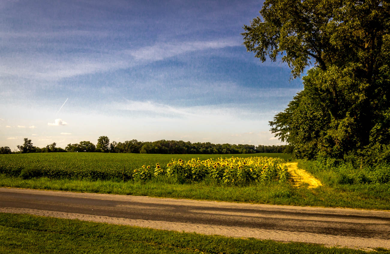
A slice of Summer

IMG_5462.jpg

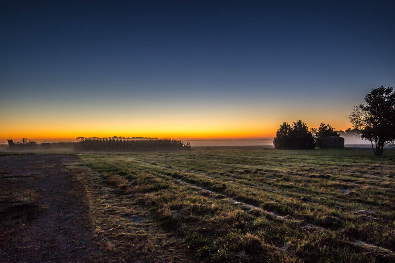
Southern Illinois early morning serenity.
IMG_4113.jpg

248 - Morning horizon

IMG_5456.jpg

IMG_5445.jpg

IMG_4465_6_7.jpg

Winter Sunsets

Sunset Southern Illinois

COWLR SUNSET

IMG_4107.jpg

Winter Sunsets
IMG_5449.jpg

HDR Winter Sunset

Sunset Southern Illinois

HDR Winter Sunset

IMG_4120.jpg
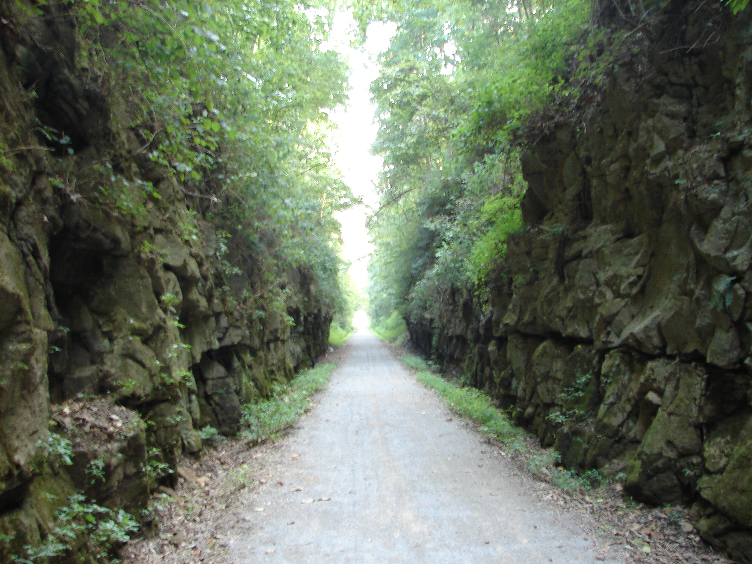
Tunnel Hill State Trail | Tunnel Hill, IL
Camera Roll-77
Topographic Map of Stonefort Township, IL, USA
Find elevation by address:

Places in Stonefort Township, IL, USA:
Places near Stonefort Township, IL, USA:
Mauseyville Road
E Keely St, Creal Springs, IL, USA
Creal Springs
Crab Orchard Precinct
IL-, Marion, IL, USA
Galatia Post Rd, Pittsburg, IL, USA
Pope St, Marion, IL, USA
Creal Springs
Williamson County
16314 Moellers Rd
Carrier Mills Township
Stonefort Township
Carrier Mills
Main St, Carrier Mills, IL, USA
2206 Autumn Ln
East Marion Precinct
2201 Old Creal Springs Rd
18873 Pittsburg Rd
101 Taborn Rd
101 Taborn Rd
Recent Searches:
- Elevation of Spaceport America, Co Rd A, Truth or Consequences, NM, USA
- Elevation of Warwick, RI, USA
- Elevation of Fern Rd, Whitmore, CA, USA
- Elevation of 62 Abbey St, Marshfield, MA, USA
- Elevation of Fernwood, Bradenton, FL, USA
- Elevation of Felindre, Swansea SA5 7LU, UK
- Elevation of Leyte Industrial Development Estate, Isabel, Leyte, Philippines
- Elevation of W Granada St, Tampa, FL, USA
- Elevation of Pykes Down, Ivybridge PL21 0BY, UK
- Elevation of Jalan Senandin, Lutong, Miri, Sarawak, Malaysia