Elevation of Creal Springs, IL, USA
Location: United States > Illinois > Williamson County >
Longitude: -88.883883
Latitude: 37.6546901
Elevation: 140m / 459feet
Barometric Pressure: 100KPa
Elevation Map:
Satellite Map:
Related Photos:
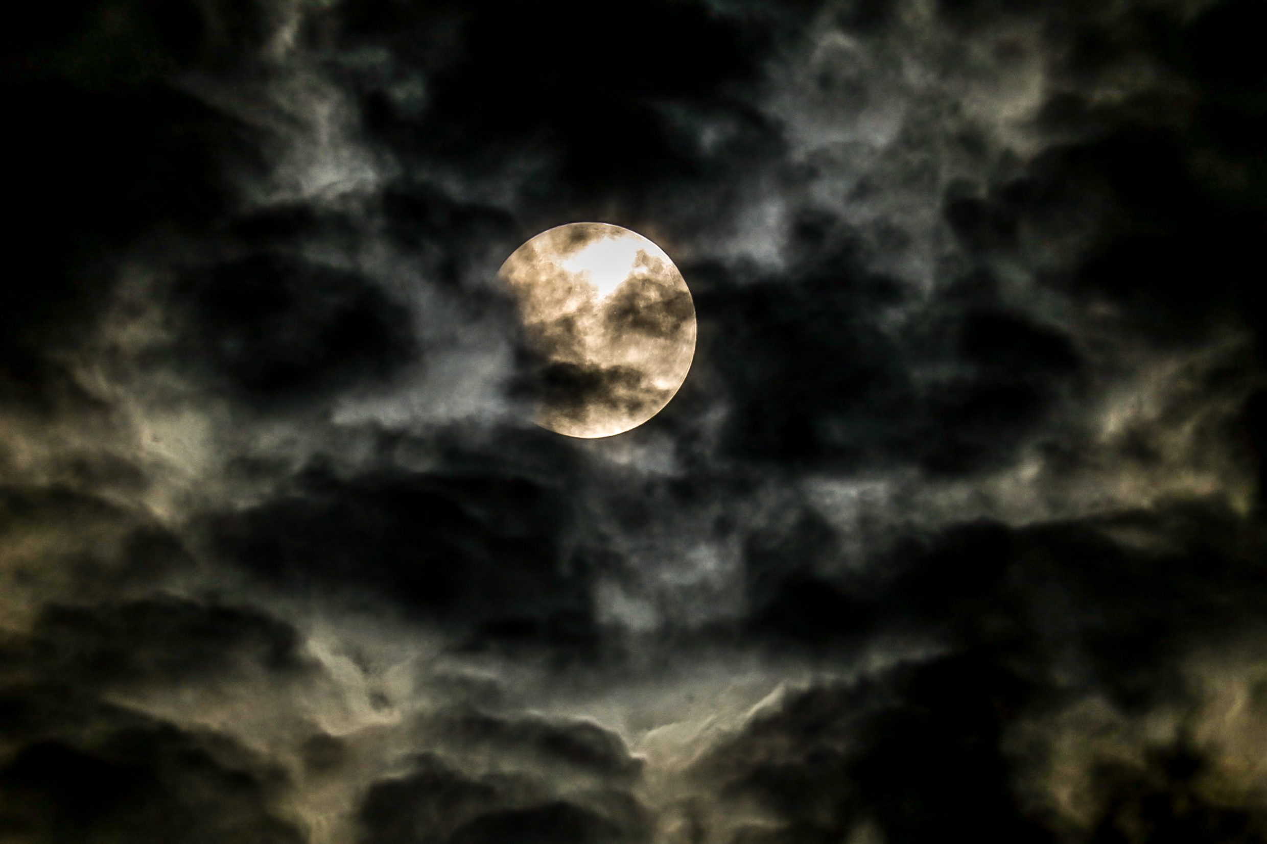
Zoomed view during the clouds.
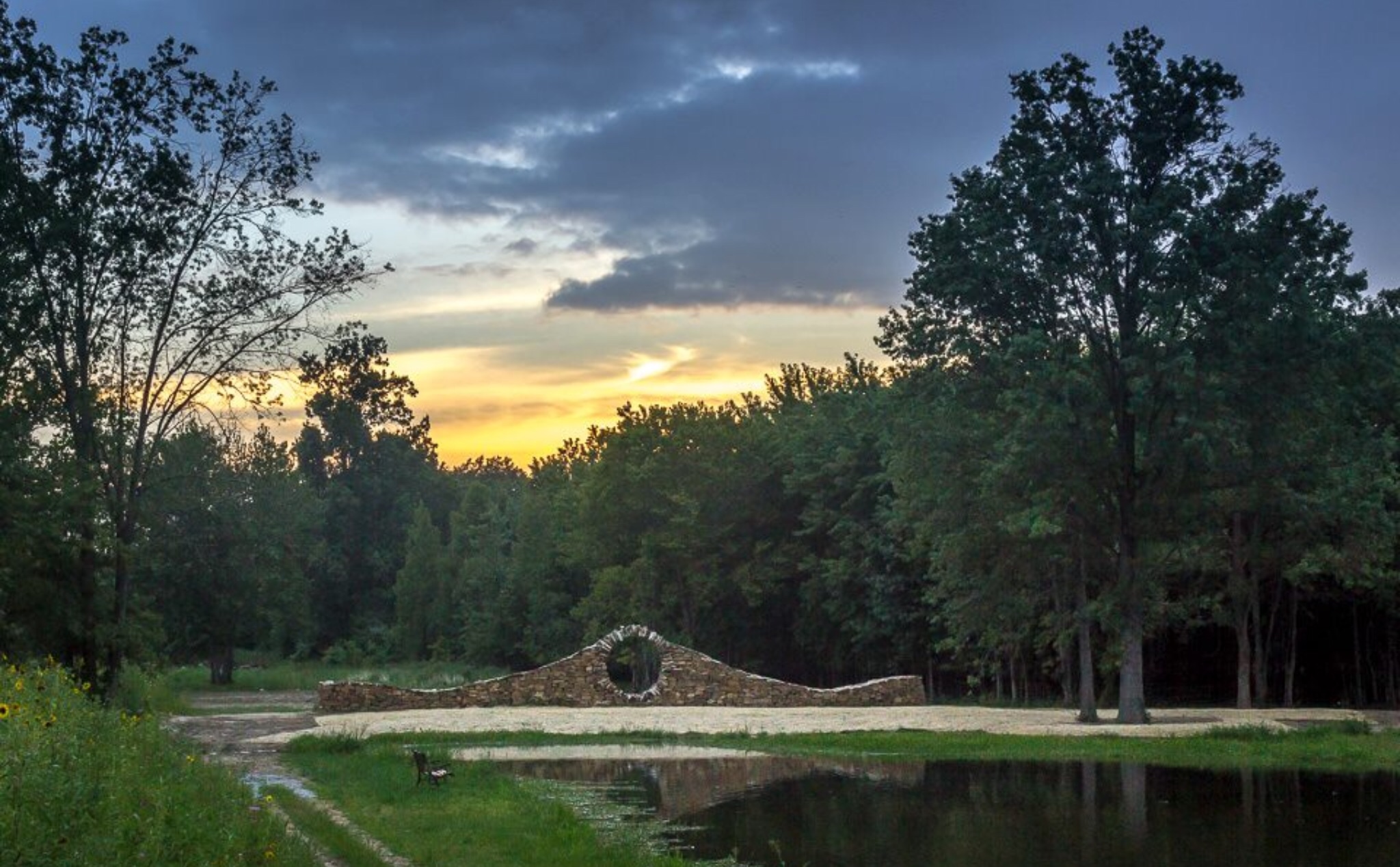
Sunset at Mandala Gardens, Marion, IL.

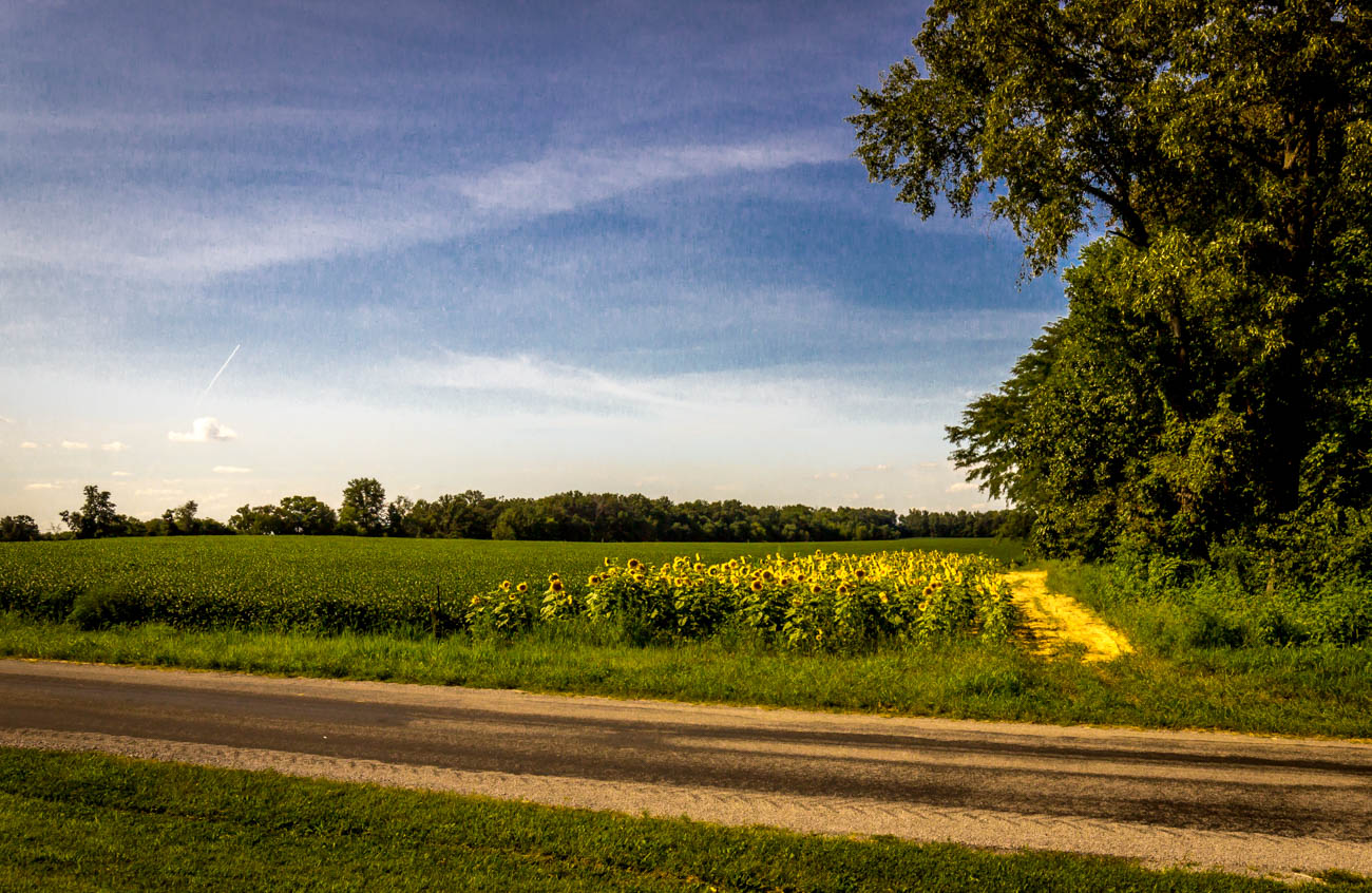
Sunflowers at sunset.

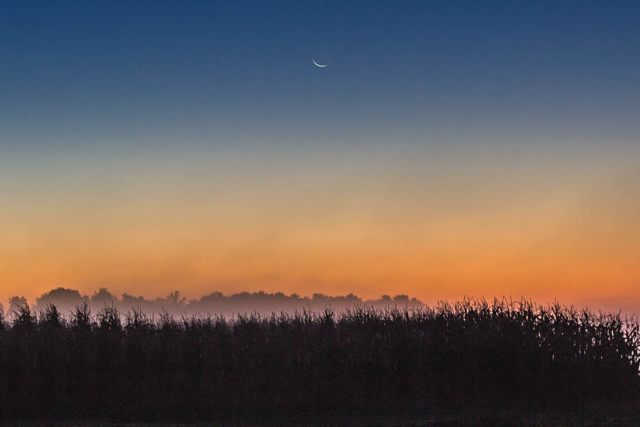
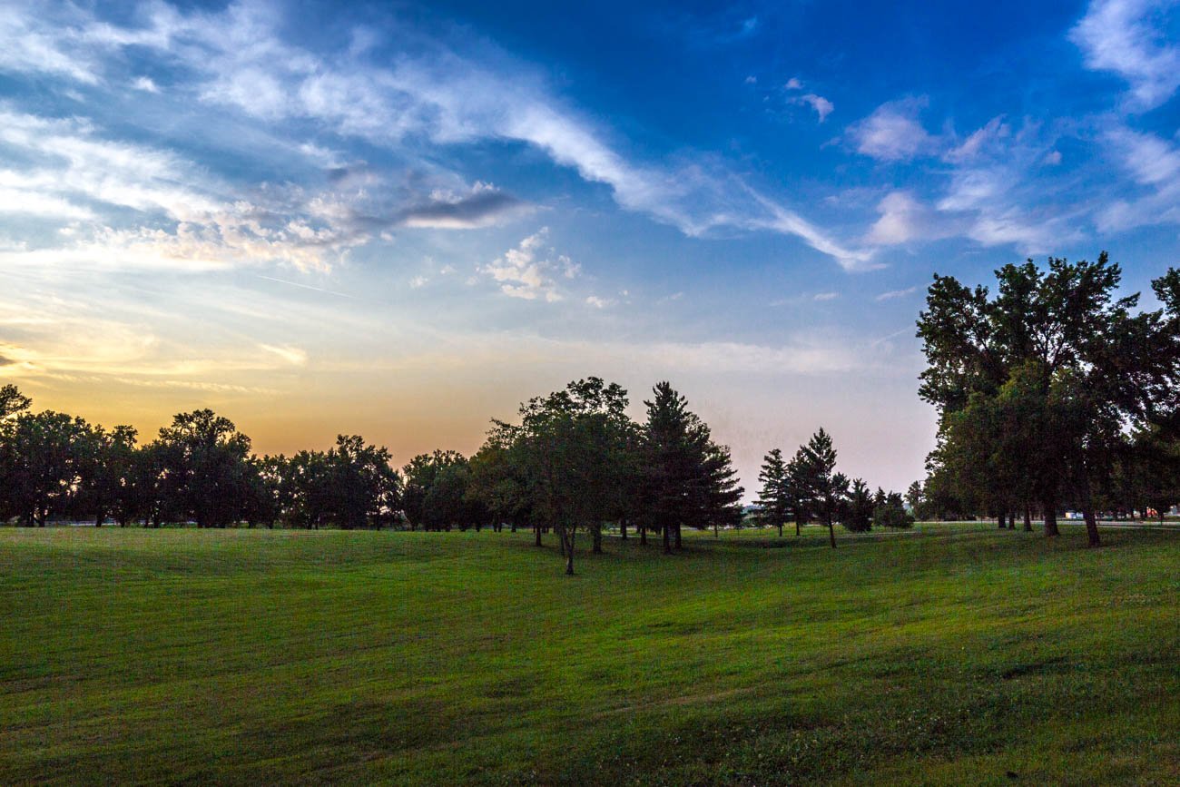
Morning view at work.
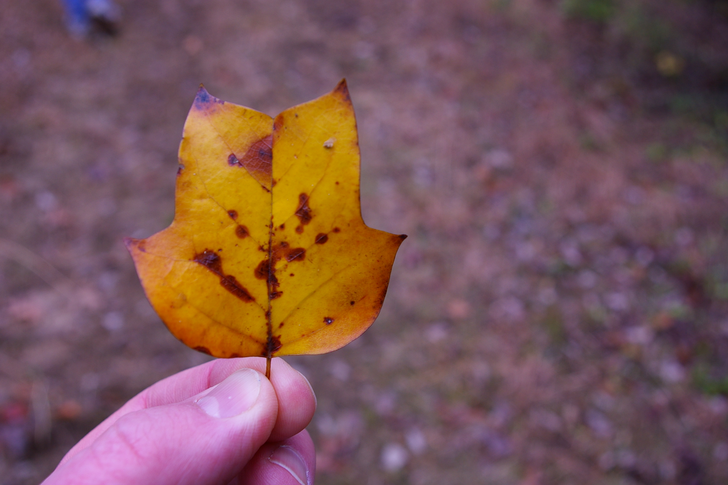
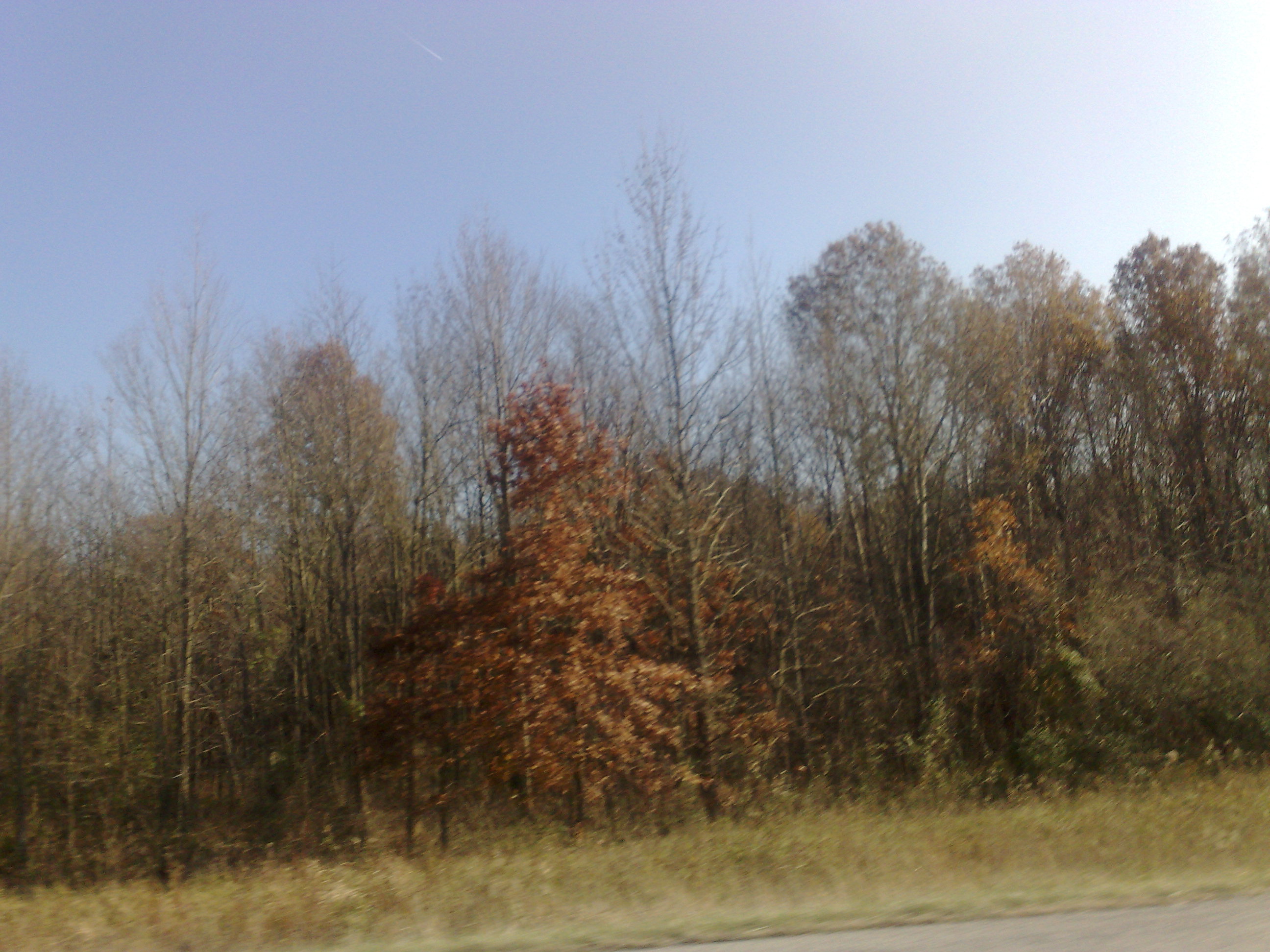
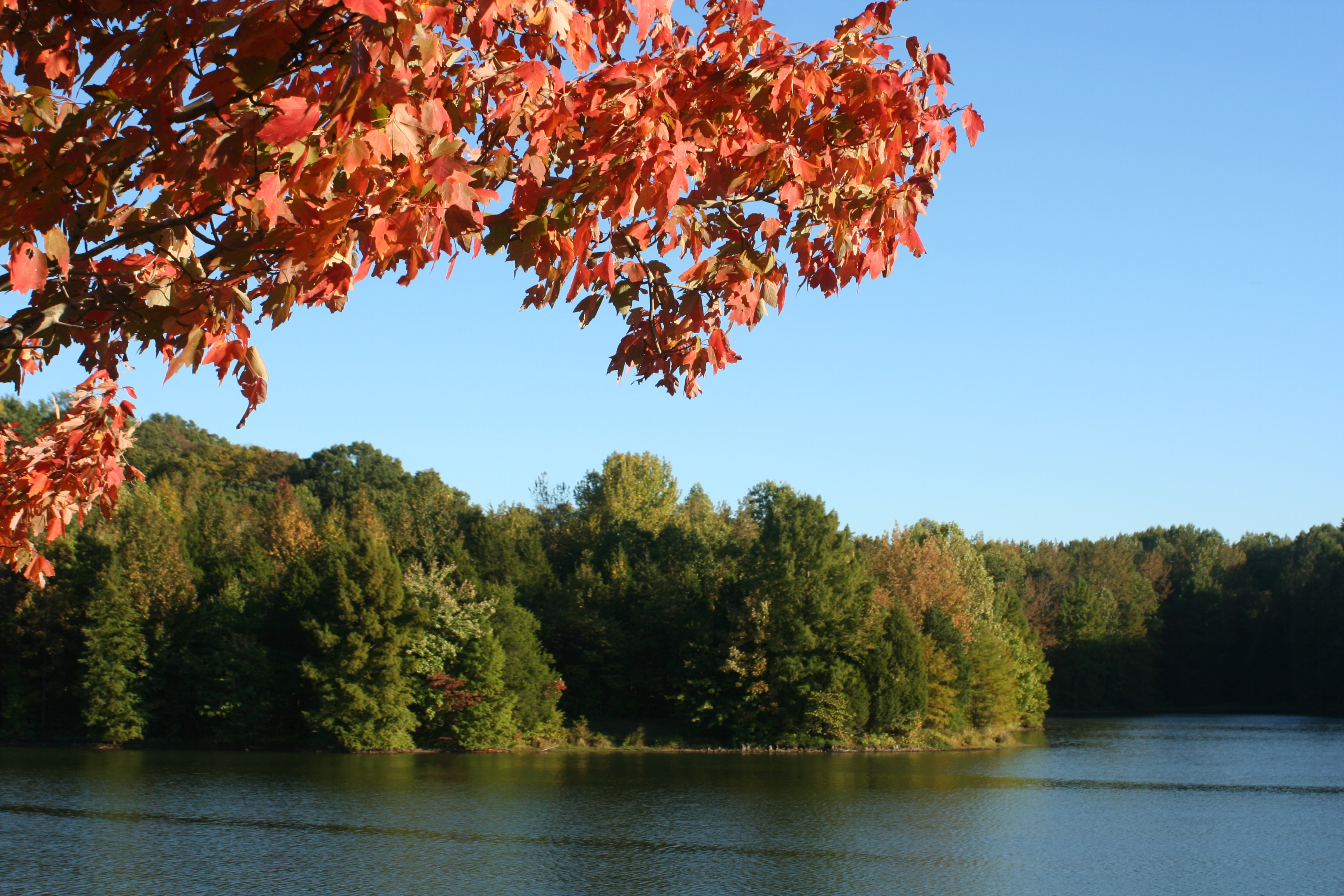
Autumn Leaf
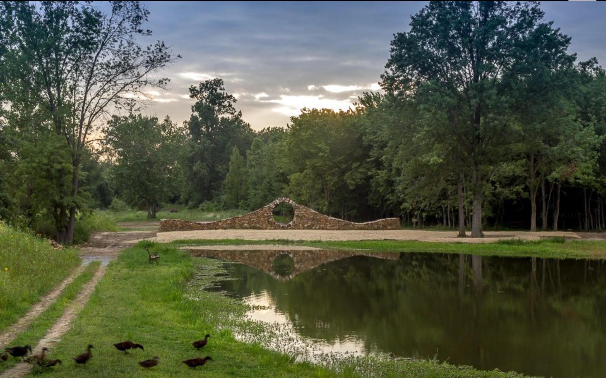
Ducks heading to pond for an evening swim at Mandala Gardens, Marion, IL.
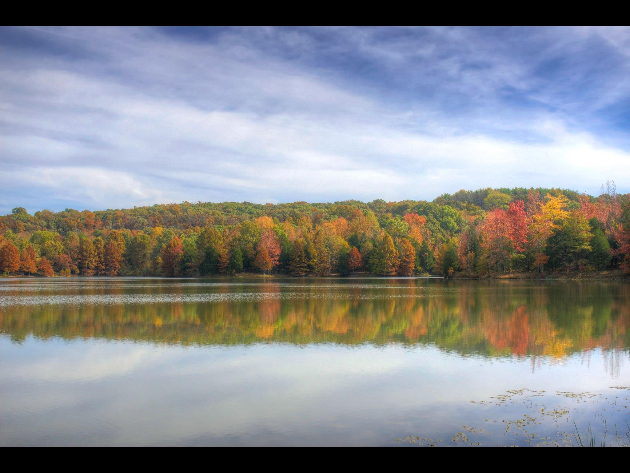
Fall colors in Fern Cliff State Park in Southern Illinois.

382.jpg
11/23/2008
Fern Clyffe State Park

IMG_5462.jpg

Ferne Clyffe Waterfall
Southern Illinois early morning serenity.
IMG_4113.jpg

385.jpg

718.jpg
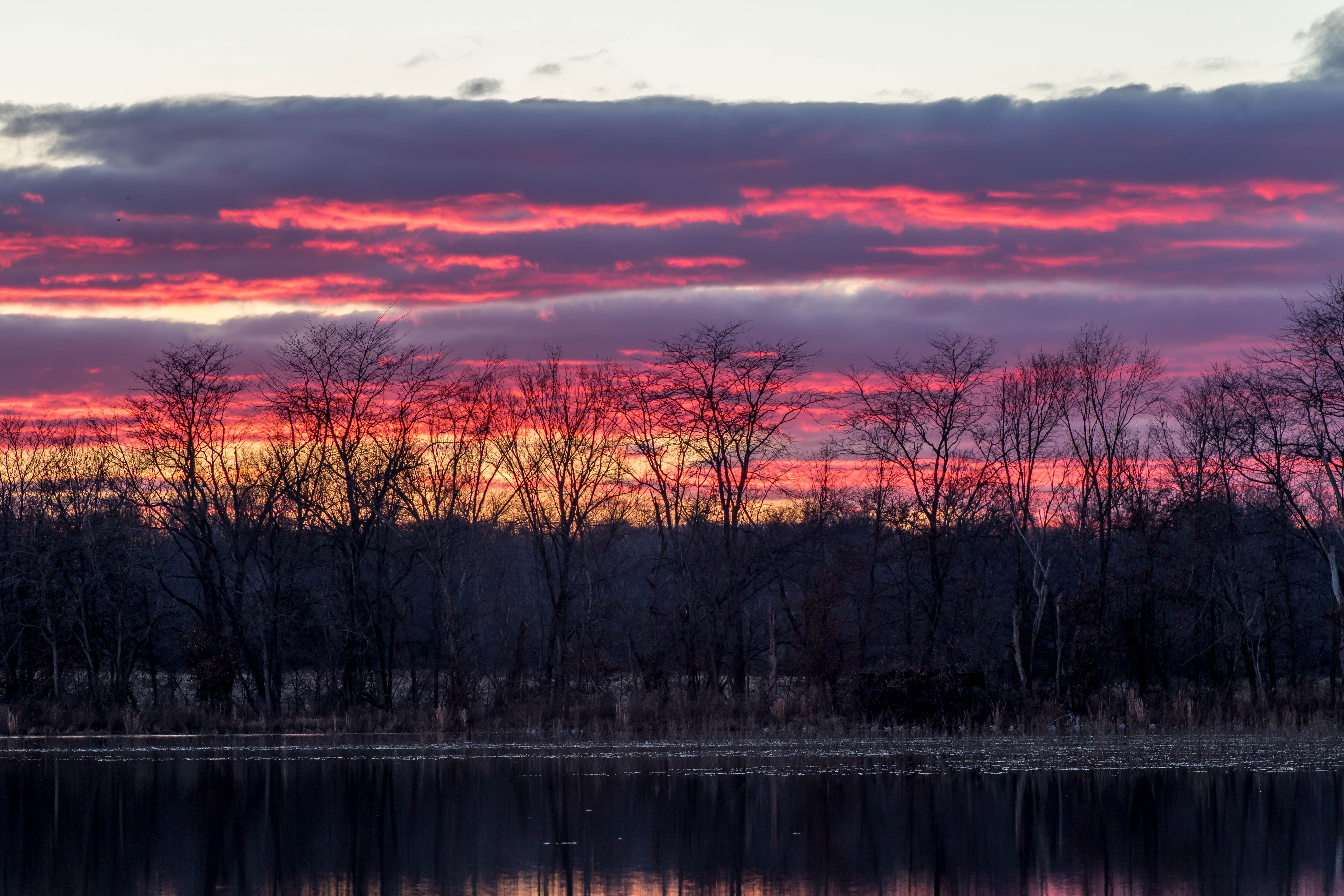
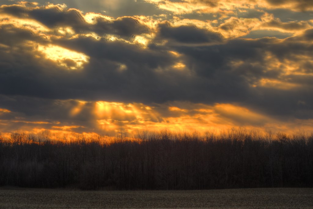
Winter Sunsets

IMG_4465_6_7.jpg

IMG_5456.jpg
IMG_5445.jpg
lake-Ferne Clyffe

Sunset Southern Illinois
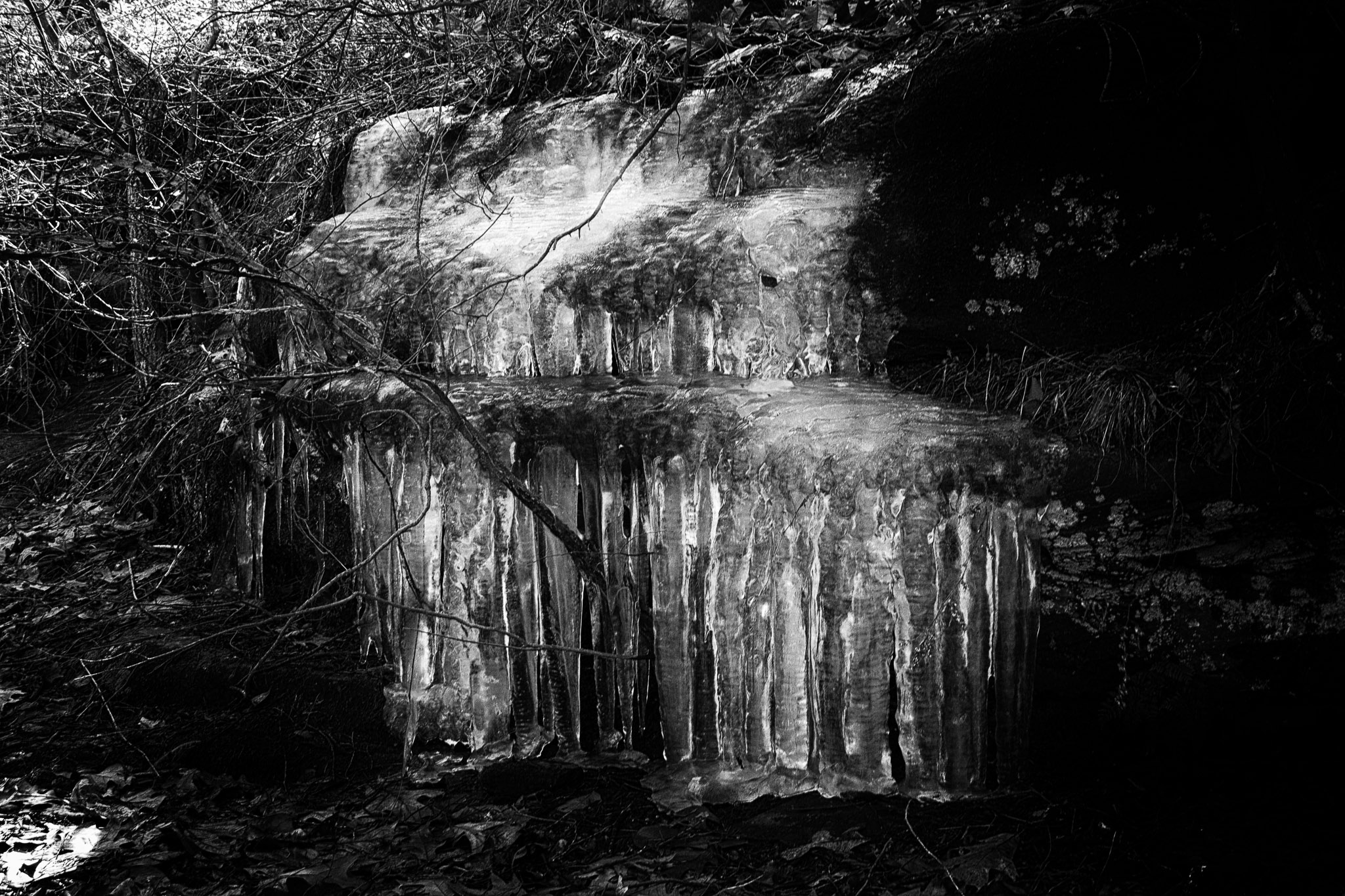
Ice in Ferne Clyffe
IMG_3927.jpg
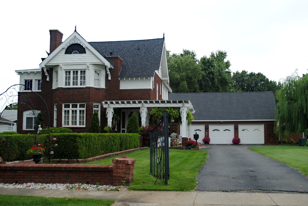
Living in Marion Illinois
COWLR SUNSET
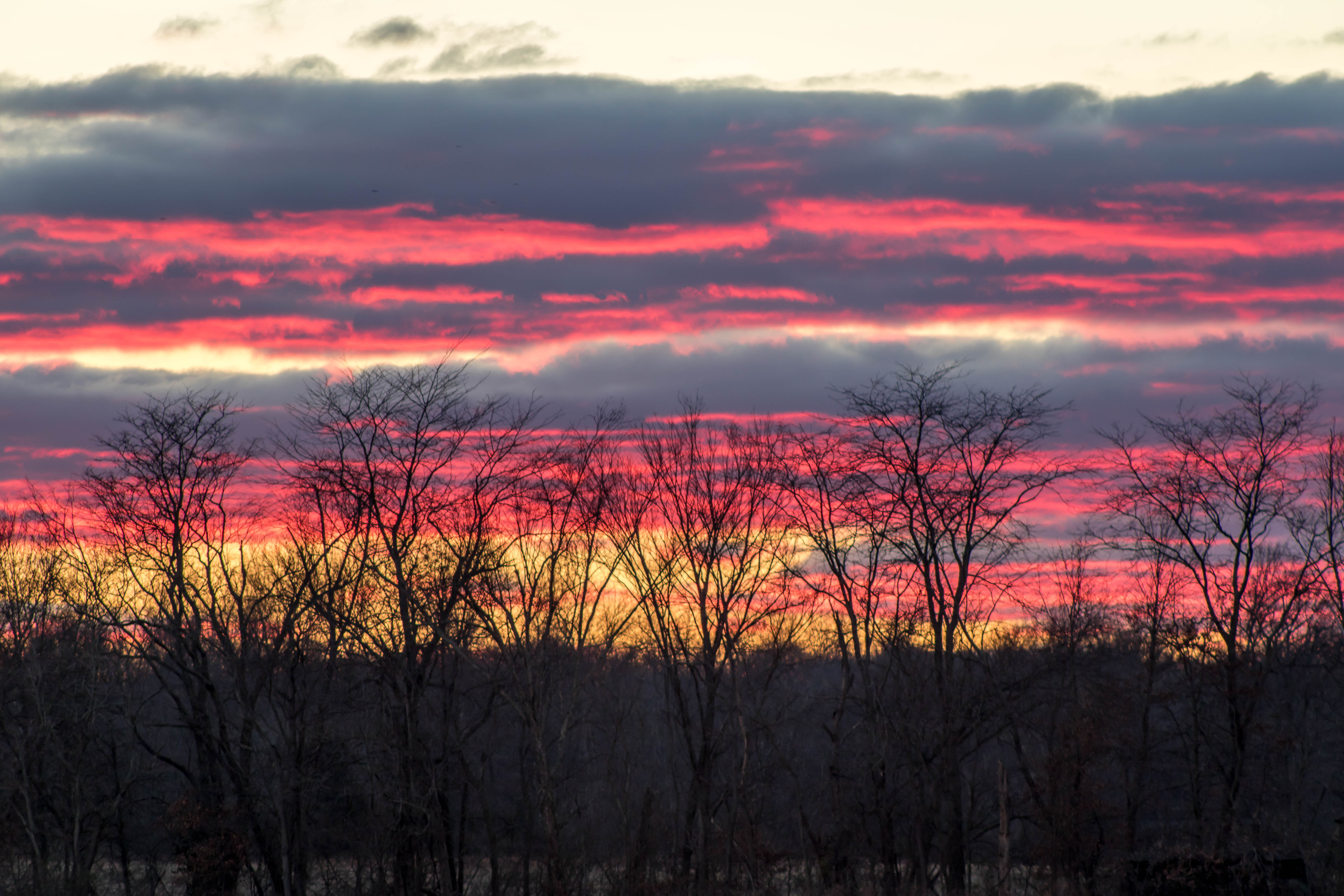
Winter Sunsets
Topographic Map of Creal Springs, IL, USA
Find elevation by address:

Places in Creal Springs, IL, USA:
Places near Creal Springs, IL, USA:
IL-, Marion, IL, USA
2206 Autumn Ln
Creal Springs
E Keely St, Creal Springs, IL, USA
2201 Old Creal Springs Rd
Williamson County
6734 Il-37
16314 Moellers Rd
Mauseyville Road
East Marion Precinct
Marion
IL-37, Marion, IL, USA
Stonefort Township
E Reid St, Marion, IL, USA
18873 Pittsburg Rd
Pope St, Marion, IL, USA
12882 Il-37
13818 Fowler School Rd
Crab Orchard Precinct
Galatia Post Rd, Pittsburg, IL, USA
Recent Searches:
- Elevation of Corso Fratelli Cairoli, 35, Macerata MC, Italy
- Elevation of Tallevast Rd, Sarasota, FL, USA
- Elevation of 4th St E, Sonoma, CA, USA
- Elevation of Black Hollow Rd, Pennsdale, PA, USA
- Elevation of Oakland Ave, Williamsport, PA, USA
- Elevation of Pedrógão Grande, Portugal
- Elevation of Klee Dr, Martinsburg, WV, USA
- Elevation of Via Roma, Pieranica CR, Italy
- Elevation of Tavkvetili Mountain, Georgia
- Elevation of Hartfords Bluff Cir, Mt Pleasant, SC, USA