Elevation of Crab Orchard Precinct, IL, USA
Location: United States > Illinois > Williamson County >
Longitude: -88.768638
Latitude: 37.7386228
Elevation: 150m / 492feet
Barometric Pressure: 100KPa
Elevation Map:
Satellite Map:
Related Photos:

Zoomed view during the clouds.
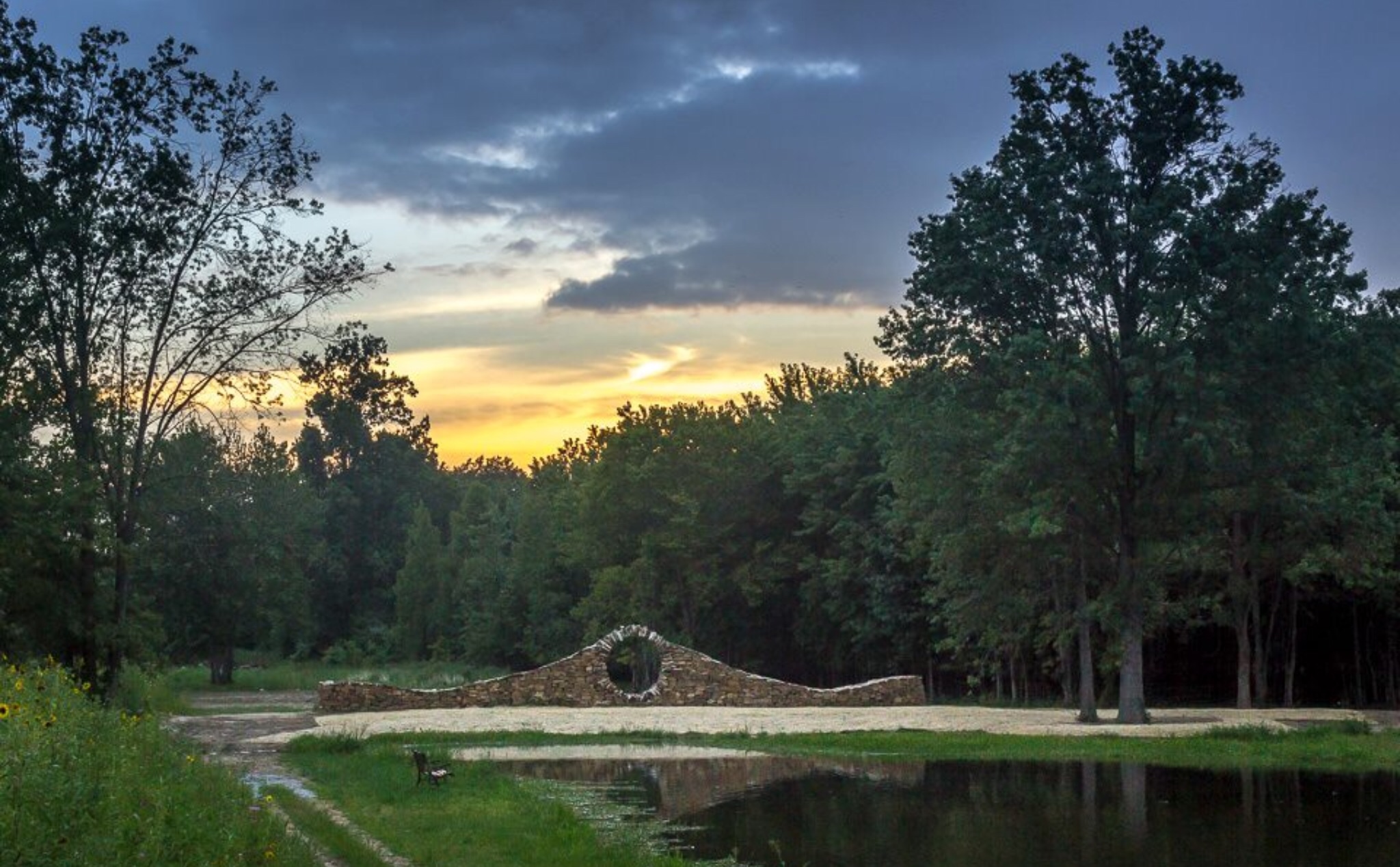
Sunset at Mandala Gardens, Marion, IL.
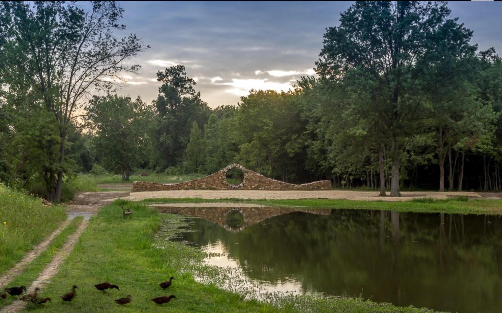
Ducks heading to pond for an evening swim at Mandala Gardens, Marion, IL.

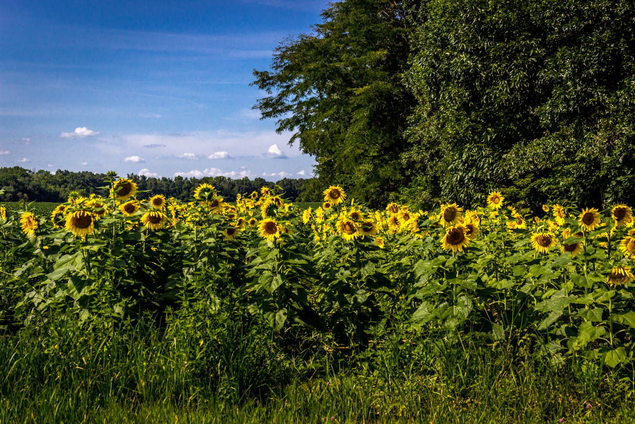
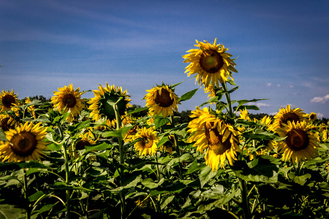
Sunflowers at sunset.

Carrier Mills, IL (formerly known as the town of Catskin and also known as Morrilsville)

IMG_5462.jpg

279 - Sunlight and clouds
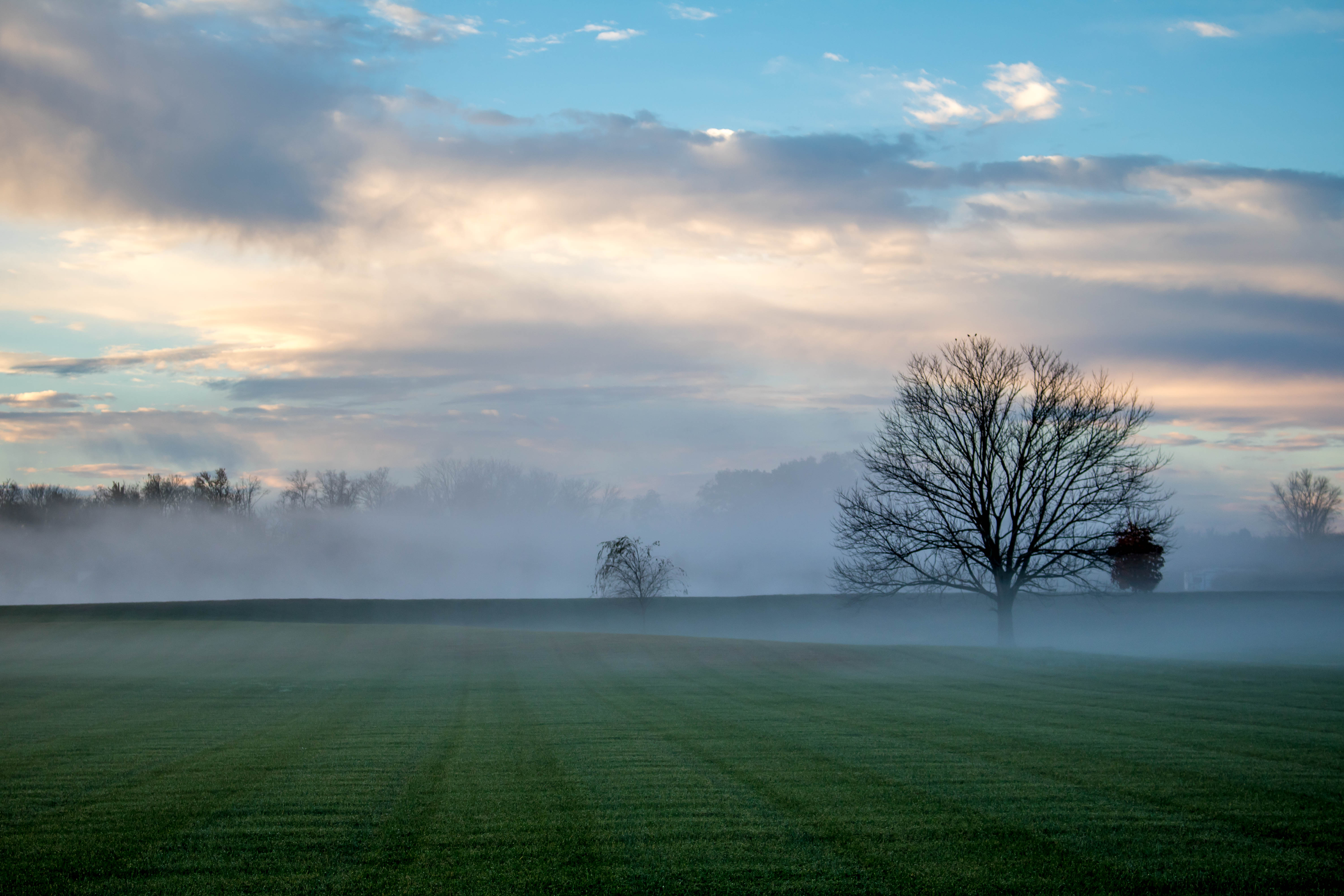
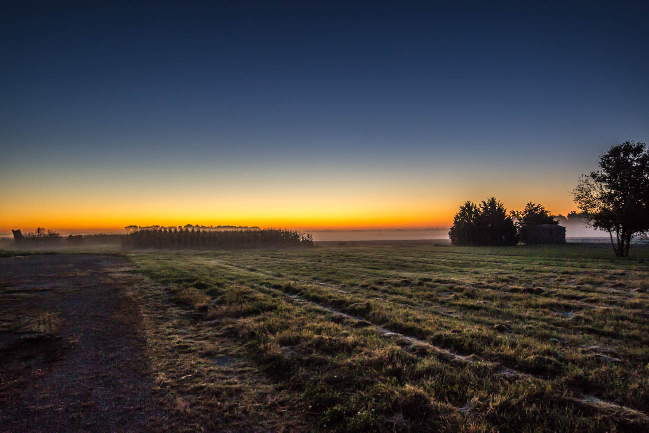
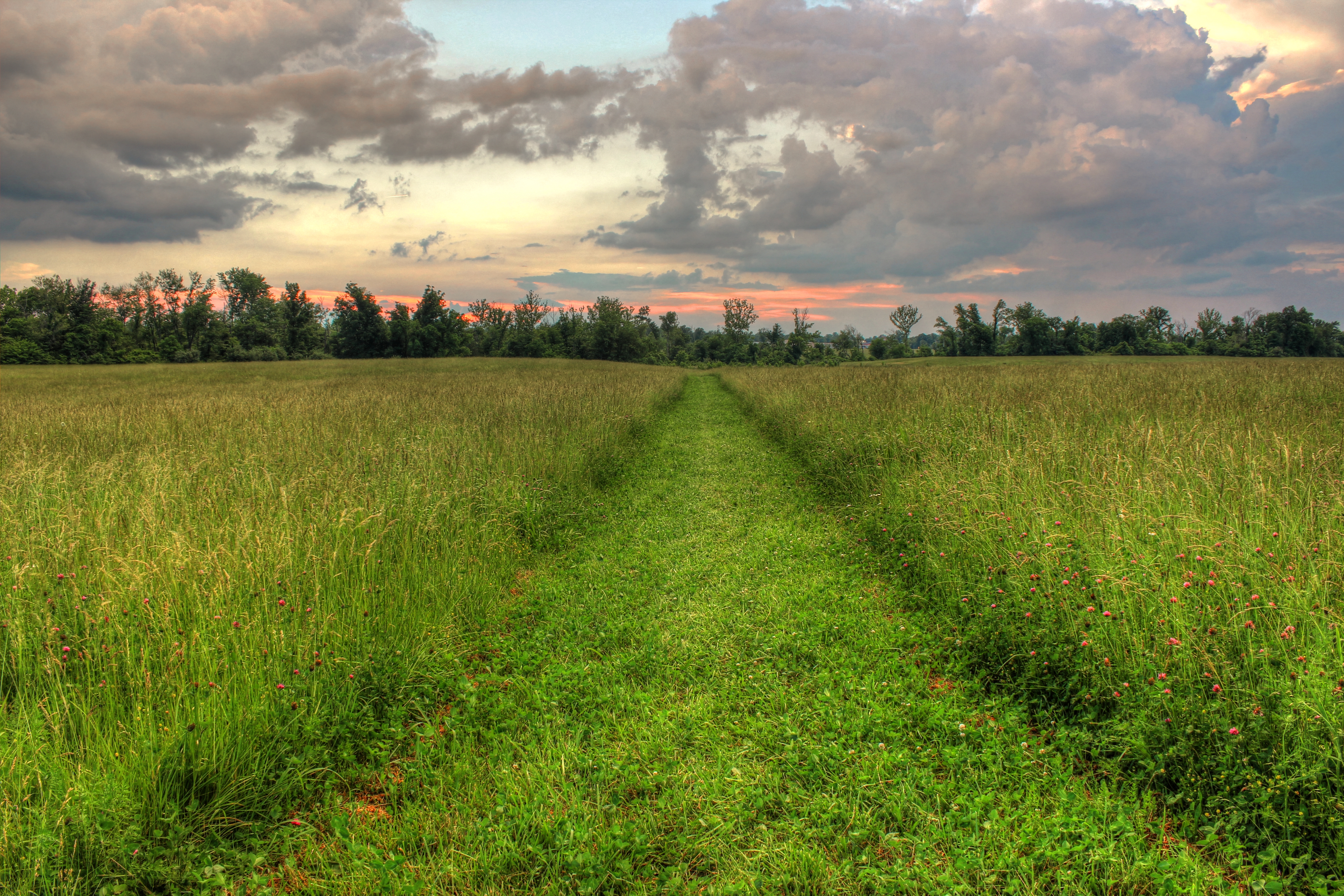
Southern Illinois early morning serenity.
IMG_5445.jpg
IMG_4465_6_7.jpg

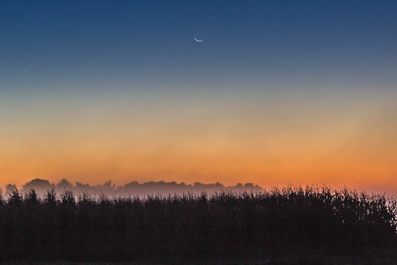
248 - Morning horizon

IMG_5456.jpg

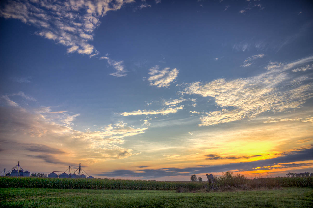
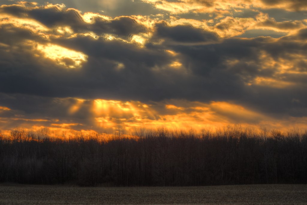
Sunset Southern Illinois
IMG_4107.jpg
IMG_5449.jpg
Living in Marion Illinois
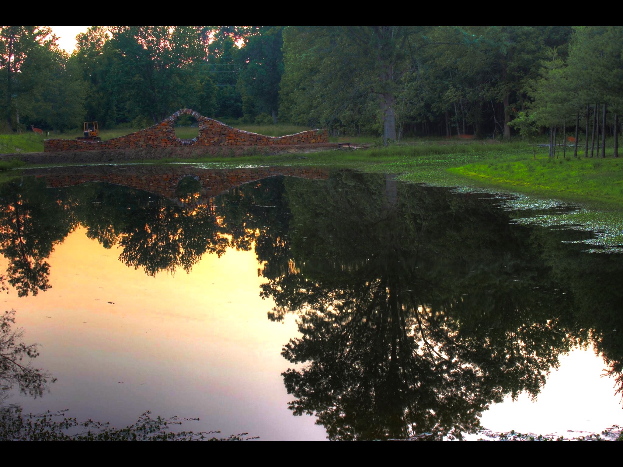
Sunset Reflection of Thea Alvin's moon gate wall at Mandala Gardens, Marion, IL.
COWLR SUNSET
IMG_4120.jpg
Sunset Southern Illinois

Eastern Cottontail
IMG_0649 (Large)

Random landscape in black and white.

Sunrise July 14, 2015

UST Oil Spill Marion IL (2)

Cloudy sky panorama
Topographic Map of Crab Orchard Precinct, IL, USA
Find elevation by address:

Places in Crab Orchard Precinct, IL, USA:
Places near Crab Orchard Precinct, IL, USA:
Galatia Post Rd, Pittsburg, IL, USA
Pope St, Marion, IL, USA
Stonefort Township
Mauseyville Road
16314 Moellers Rd
18873 Pittsburg Rd
IL-, Marion, IL, USA
Williamson County
East Marion Precinct
Carrier Mills Township
2206 Autumn Ln
2201 Old Creal Springs Rd
E Keely St, Creal Springs, IL, USA
Creal Springs
Creal Springs
Main St, Carrier Mills, IL, USA
Carrier Mills
13818 Fowler School Rd
E Reid St, Marion, IL, USA
Marion
Recent Searches:
- Elevation of Lampiasi St, Sarasota, FL, USA
- Elevation of Elwyn Dr, Roanoke Rapids, NC, USA
- Elevation of Congressional Dr, Stevensville, MD, USA
- Elevation of Bellview Rd, McLean, VA, USA
- Elevation of Stage Island Rd, Chatham, MA, USA
- Elevation of Shibuya Scramble Crossing, 21 Udagawacho, Shibuya City, Tokyo -, Japan
- Elevation of Jadagoniai, Kaunas District Municipality, Lithuania
- Elevation of Pagonija rock, Kranto 7-oji g. 8"N, Kaunas, Lithuania
- Elevation of Co Rd 87, Jamestown, CO, USA
- Elevation of Tenjo, Cundinamarca, Colombia