Elevation of Old Creal Springs Rd, Marion, IL, USA
Location: United States > Illinois > Williamson County > East Marion Precinct >
Longitude: -88.902182
Latitude: 37.7141865
Elevation: 130m / 427feet
Barometric Pressure: 100KPa
Elevation Map:
Satellite Map:
Related Photos:

Zoomed view during the clouds.

A Bench with a View
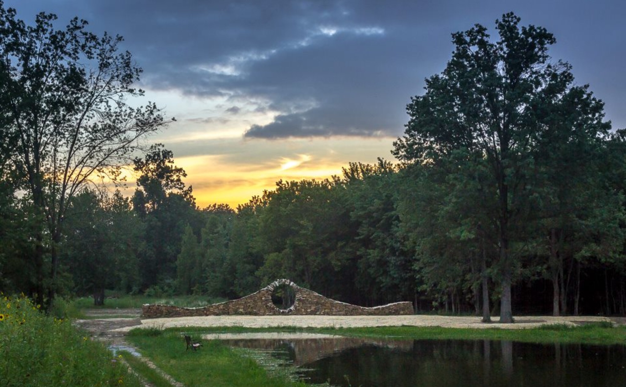
Sunset at Mandala Gardens, Marion, IL.
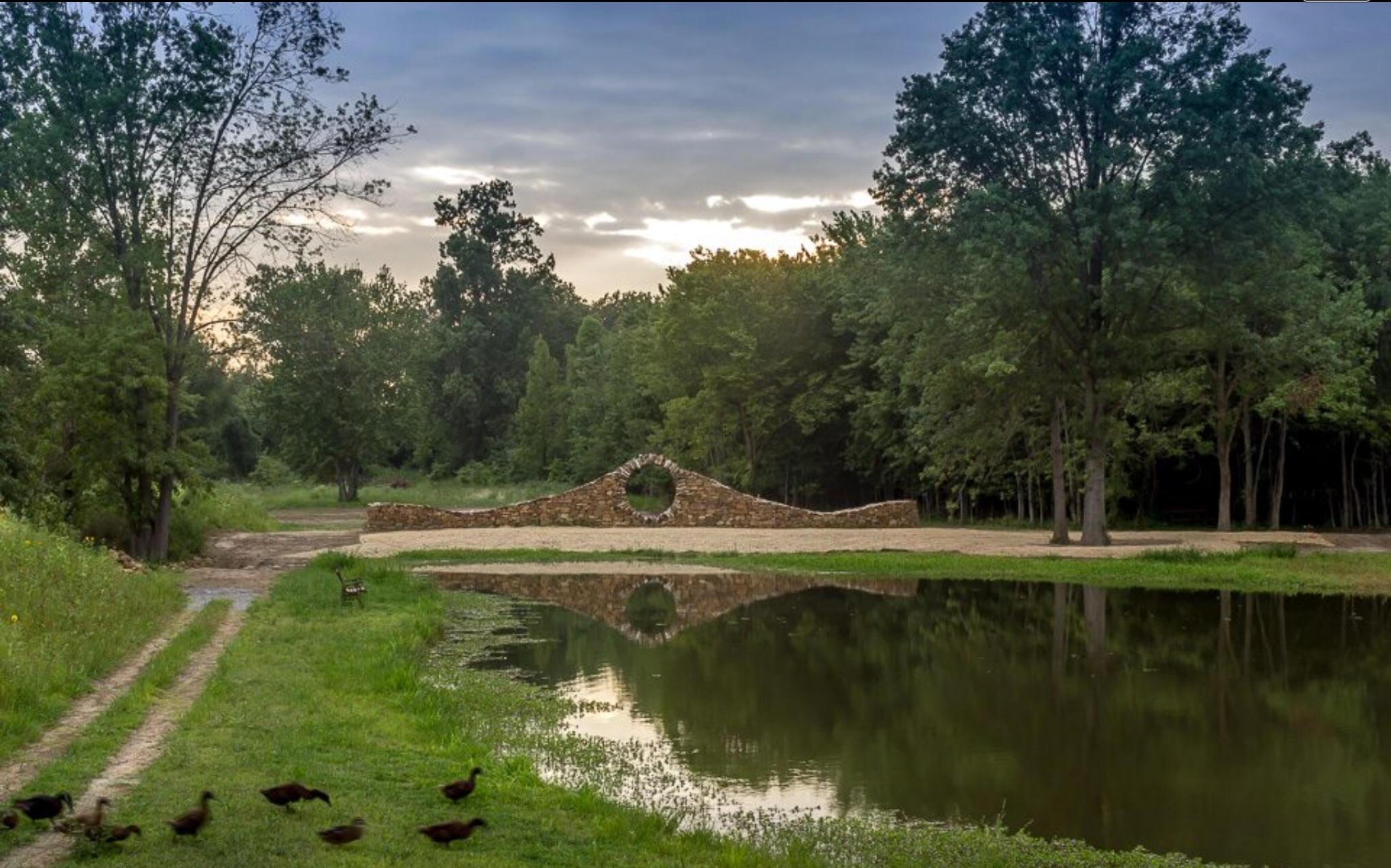
Ducks heading to pond for an evening swim at Mandala Gardens, Marion, IL.

War Memorial With A View

Sunflowers at sunset.

Morning view at work.

Leaner in the Light

Living in Marion Illinois

Winter Sunsets

Sunset Calm

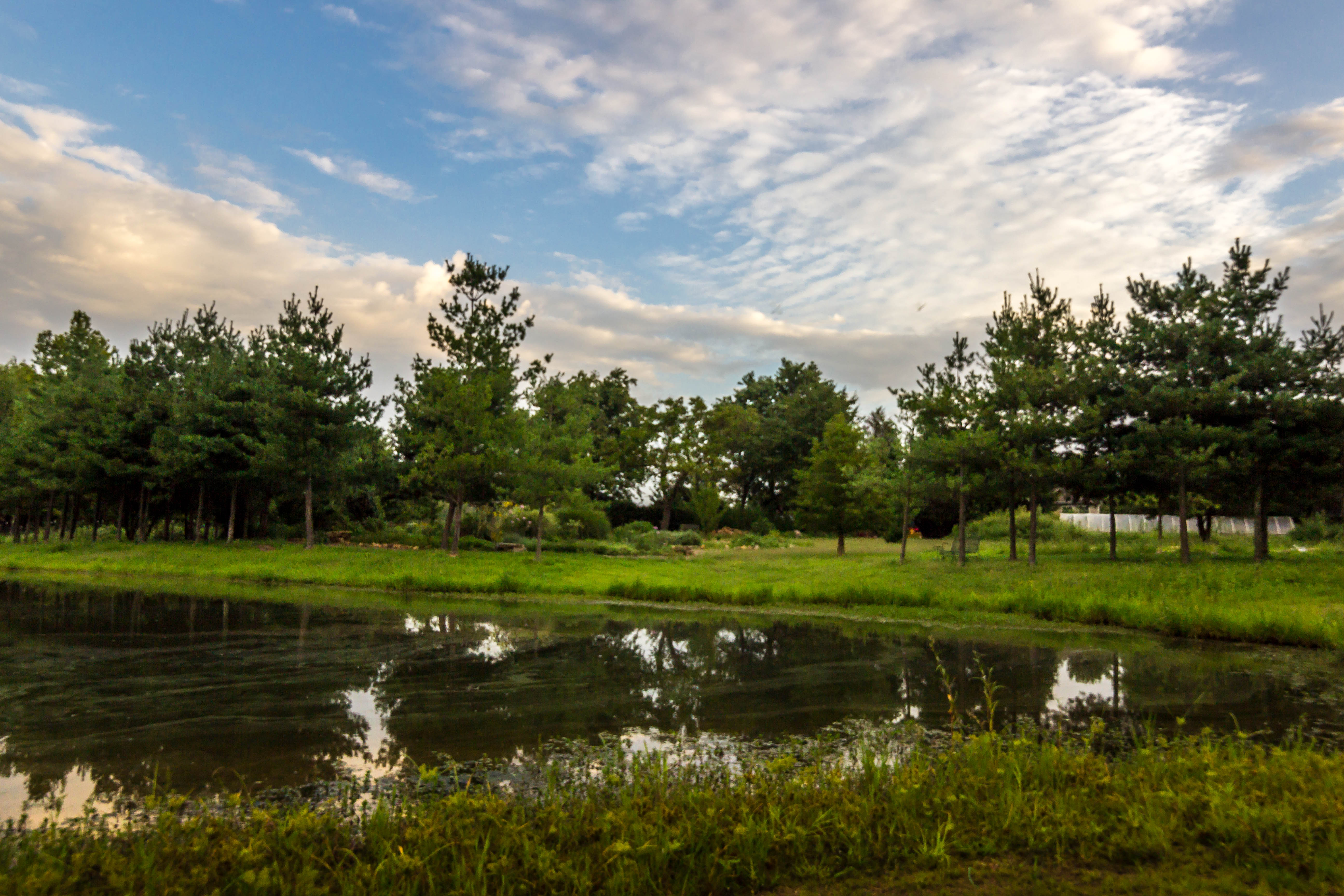
Southern Illinois early morning serenity.
11/23/2008

IMG_0026.jpg

IMG_5462.jpg

Winter Sunsets

IMG_5456.jpg

248 - Morning horizon

IMG_4465_6_7.jpg

IMG_5403.jpg

IMG_5445.jpg

IMG_5449.jpg

Sunset Southern Illinois
IMG_4168.jpg

IMG_3941.jpg

COWLR SUNSET

IMG_3927.jpg

IMG_3934_5_6.jpg

Alien Forms
Topographic Map of Old Creal Springs Rd, Marion, IL, USA
Find elevation by address:

Places near Old Creal Springs Rd, Marion, IL, USA:
2206 Autumn Ln
East Marion Precinct
Marion
6734 Il-37
Williamson County
16314 Moellers Rd
IL-, Marion, IL, USA
E Reid St, Marion, IL, USA
IL-37, Marion, IL, USA
Creal Springs
12882 Il-37
13818 Fowler School Rd
18873 Pittsburg Rd
Pope St, Marion, IL, USA
Mauseyville Road
Creal Springs
E Keely St, Creal Springs, IL, USA
Crab Orchard Precinct
Galatia Post Rd, Pittsburg, IL, USA
Stonefort Township
Recent Searches:
- Elevation of Elwyn Dr, Roanoke Rapids, NC, USA
- Elevation of Congressional Dr, Stevensville, MD, USA
- Elevation of Bellview Rd, McLean, VA, USA
- Elevation of Stage Island Rd, Chatham, MA, USA
- Elevation of Shibuya Scramble Crossing, 21 Udagawacho, Shibuya City, Tokyo -, Japan
- Elevation of Jadagoniai, Kaunas District Municipality, Lithuania
- Elevation of Pagonija rock, Kranto 7-oji g. 8"N, Kaunas, Lithuania
- Elevation of Co Rd 87, Jamestown, CO, USA
- Elevation of Tenjo, Cundinamarca, Colombia
- Elevation of Côte-des-Neiges, Montreal, QC H4A 3J6, Canada