Elevation of Mauseyville Road, Mauseyville Rd, Creal Springs, IL, USA
Location: United States > Illinois > Williamson County > Stonefort Township >
Longitude: -88.803742
Latitude: 37.6593271
Elevation: 156m / 512feet
Barometric Pressure: 99KPa
Elevation Map:
Satellite Map:
Related Photos:

Carrier Mills, IL (formerly known as the town of Catskin and also known as Morrilsville)
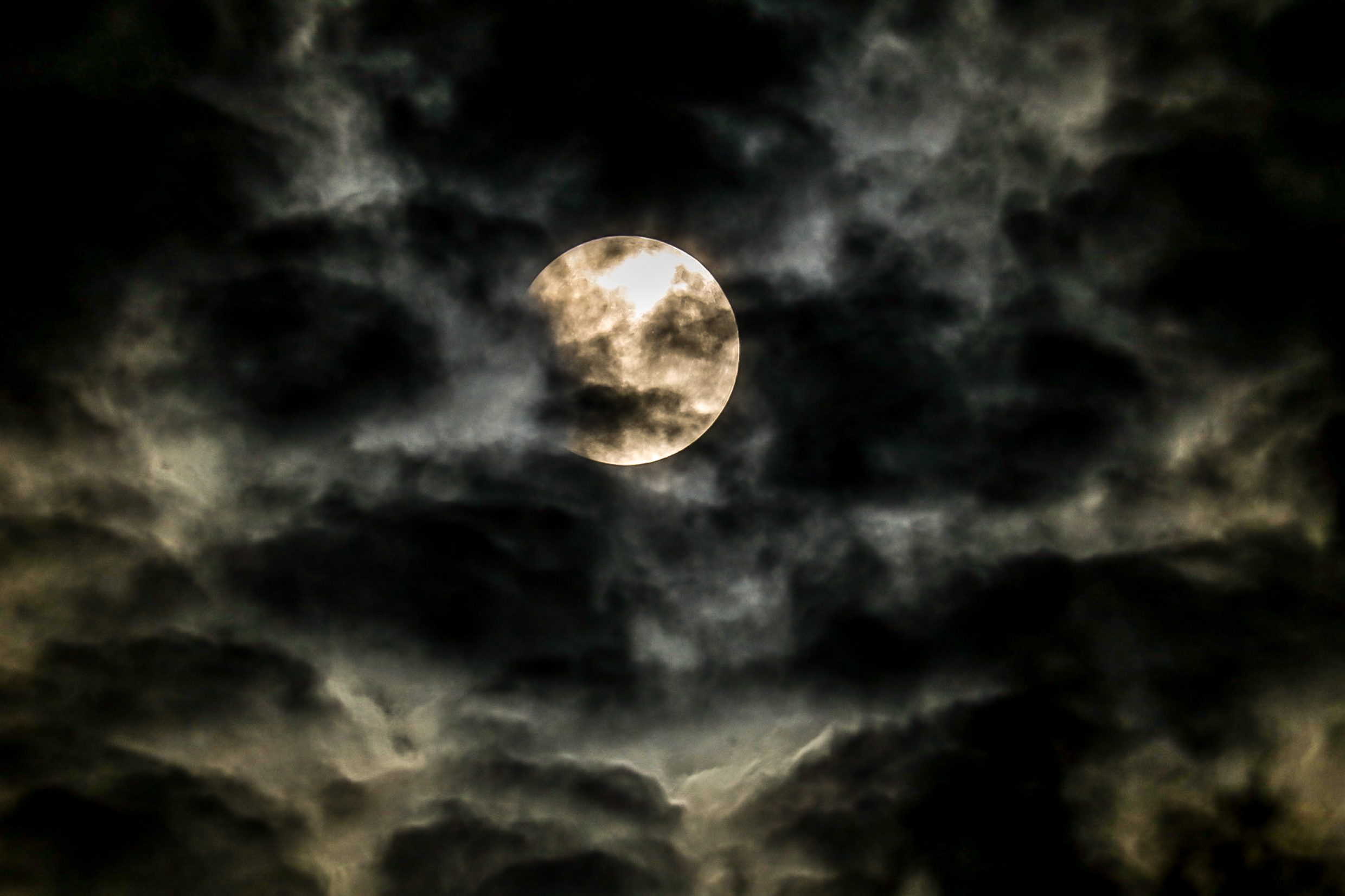
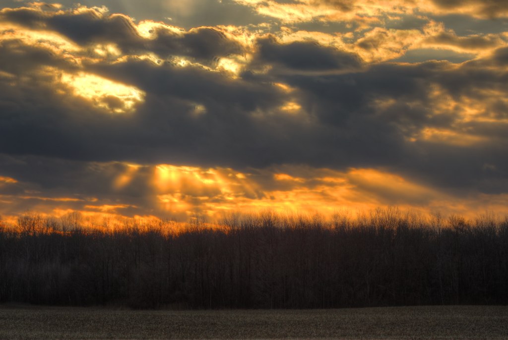
Zoomed view during the clouds.
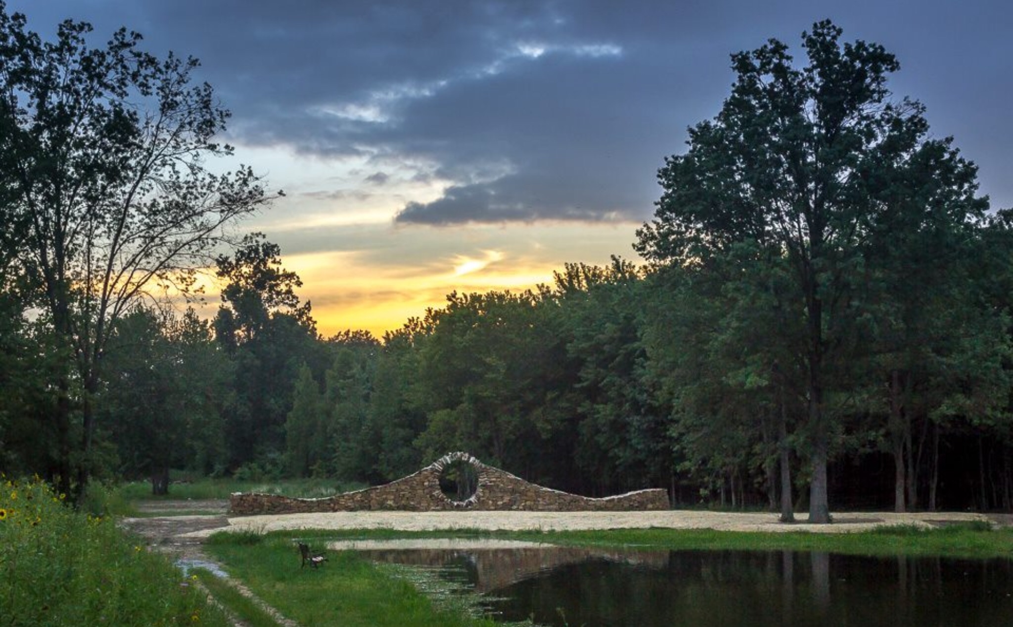
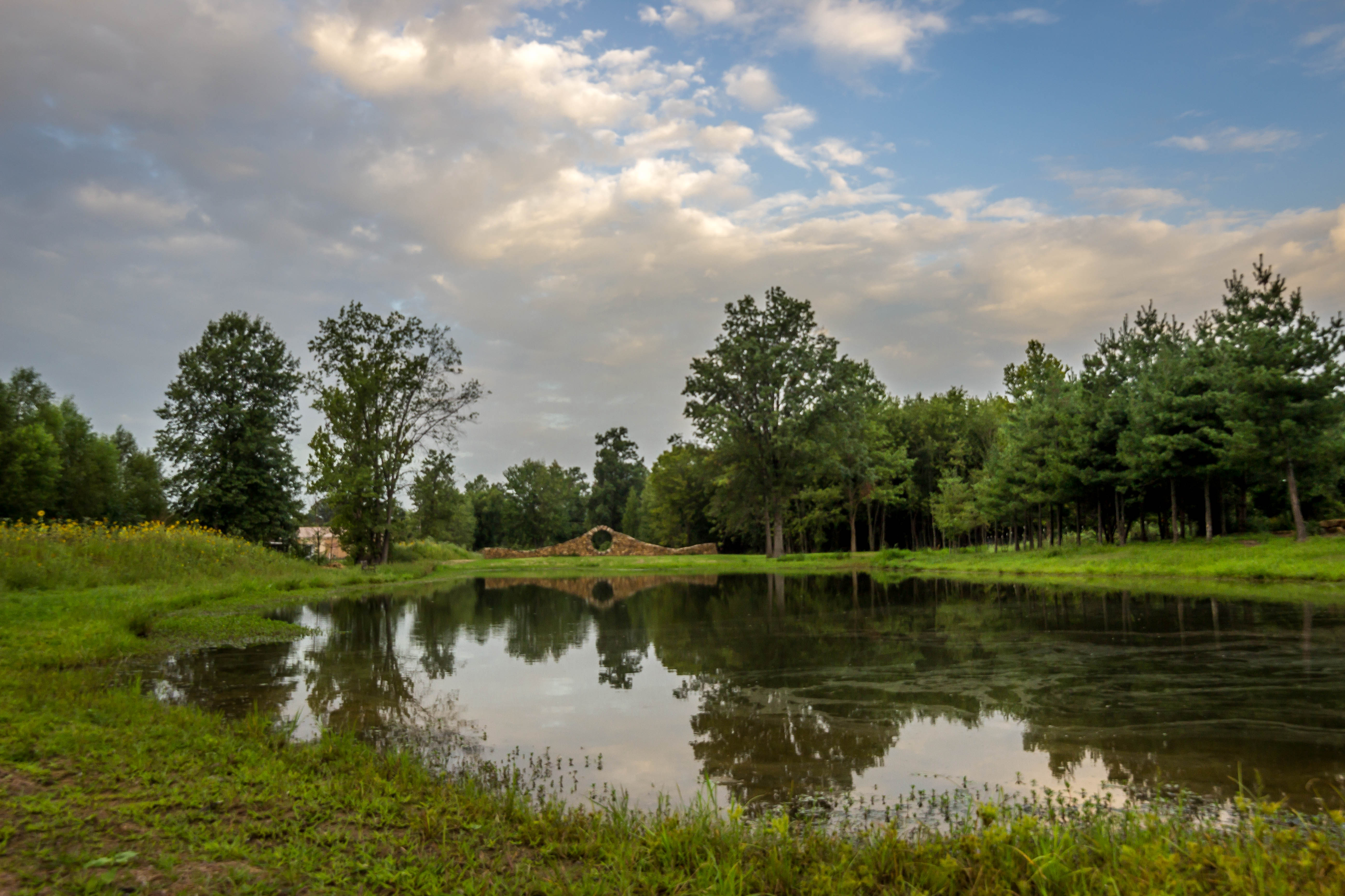
Sunset at Mandala Gardens, Marion, IL.
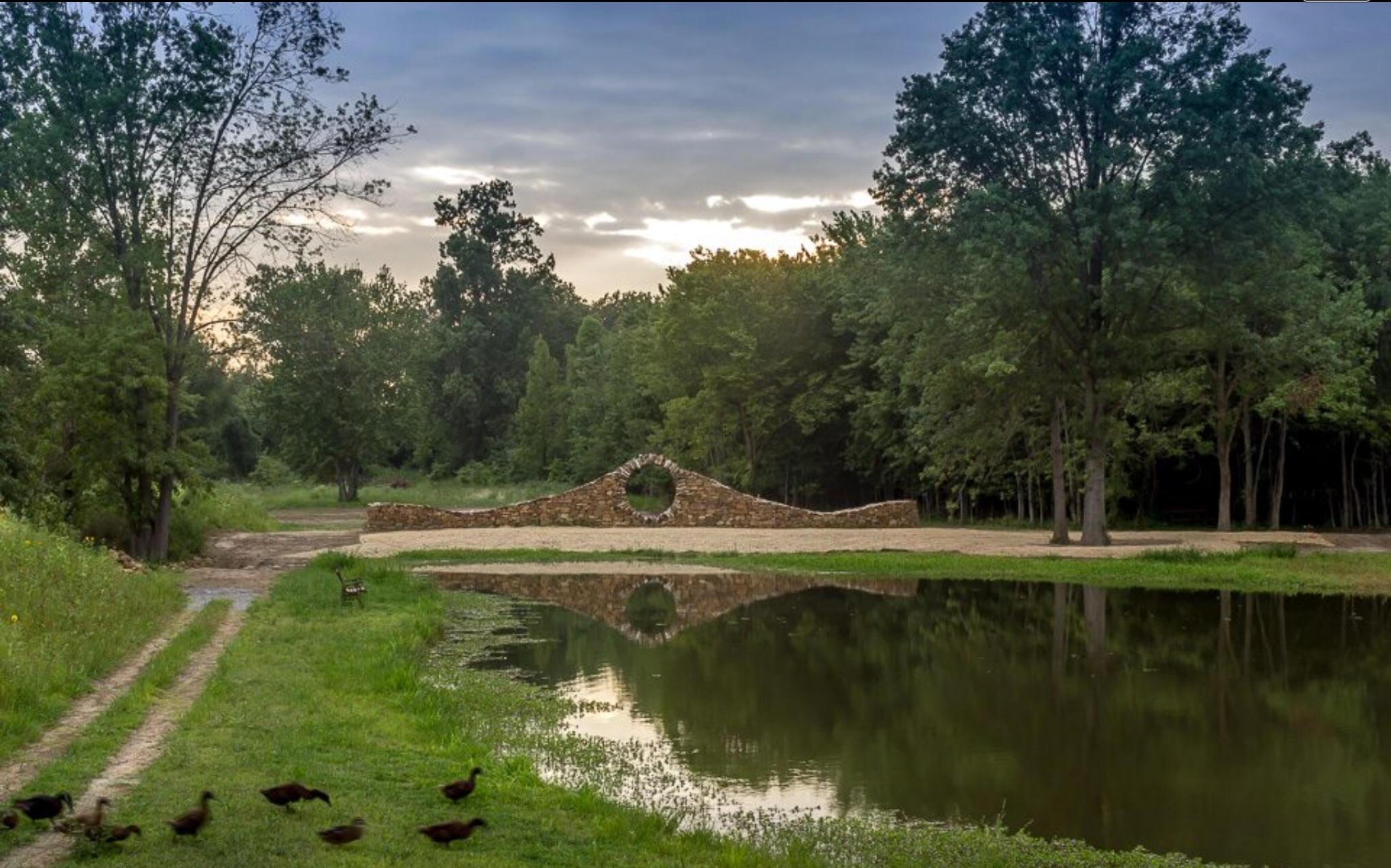
Ducks heading to pond for an evening swim at Mandala Gardens, Marion, IL.

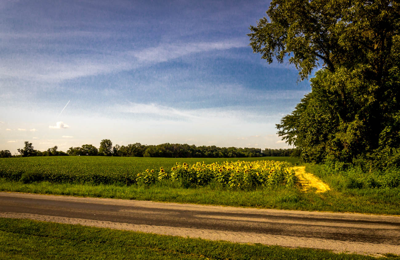
Sunflowers at sunset.

Morning view at work.
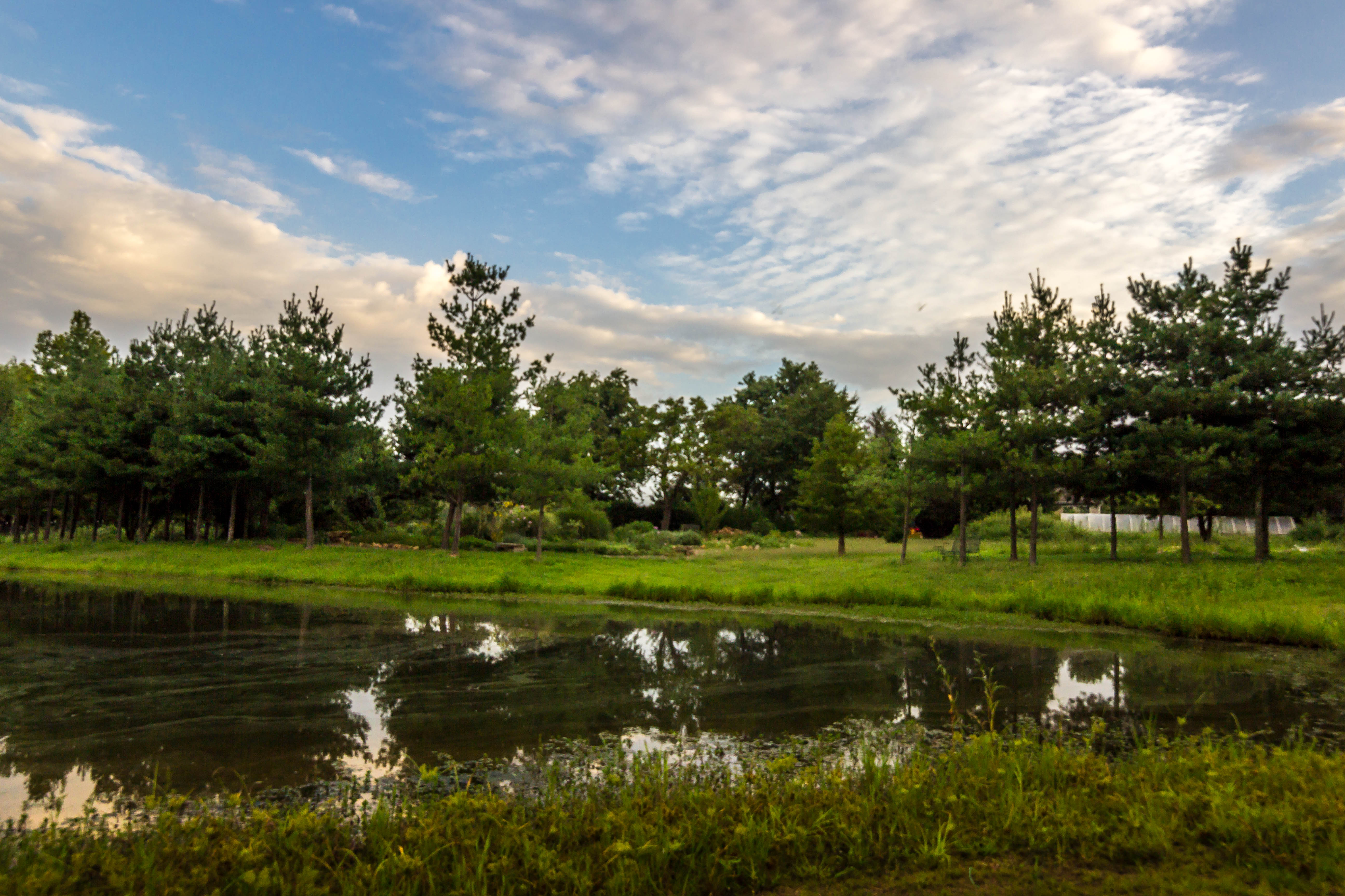
A slice of Summer

IMG_5462.jpg

Sunset Southern Illinois
IMG_4168.jpg
IMG_3927.jpg
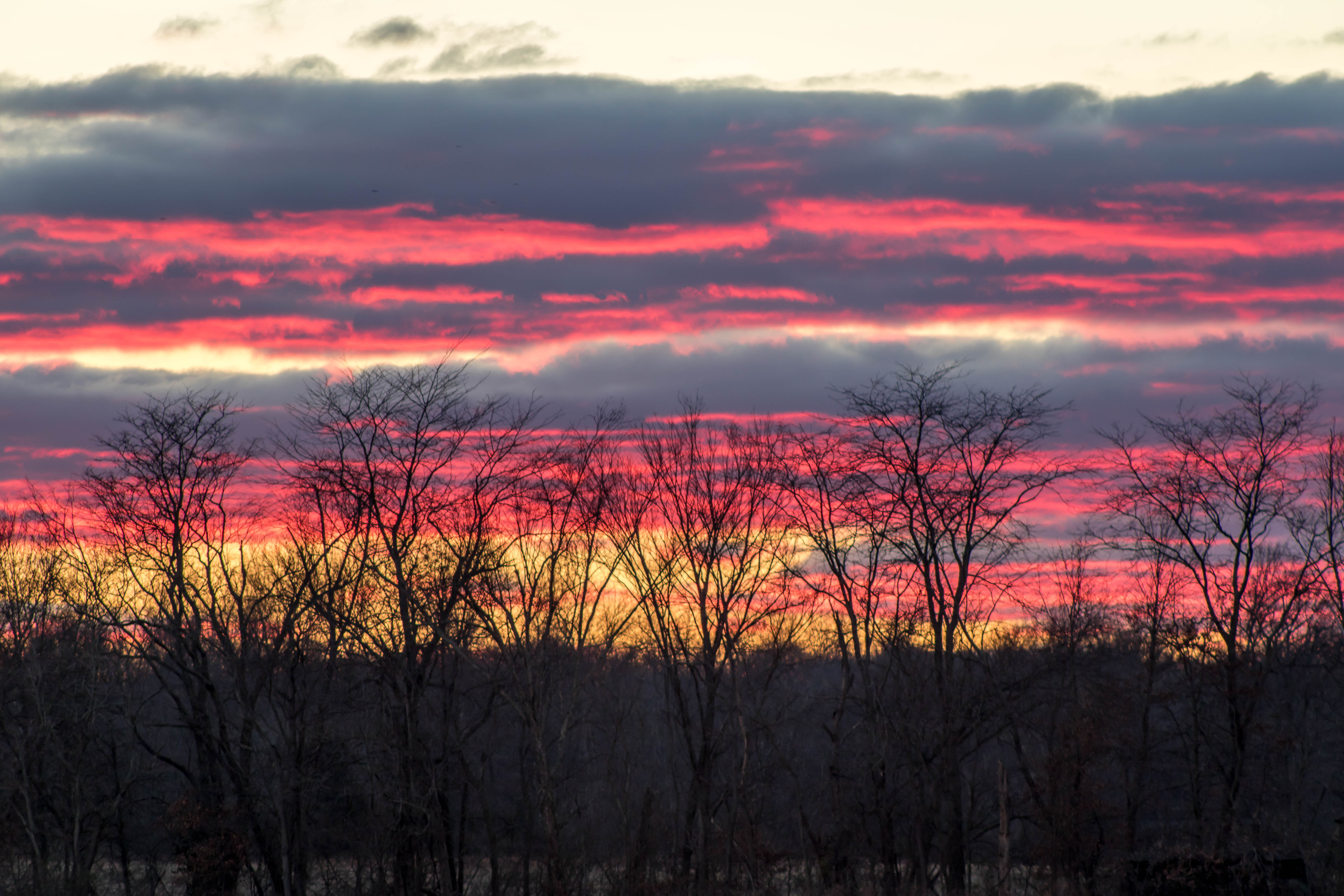
Winter Sunsets
IMG_4167.jpg

HDR Winter Sunset
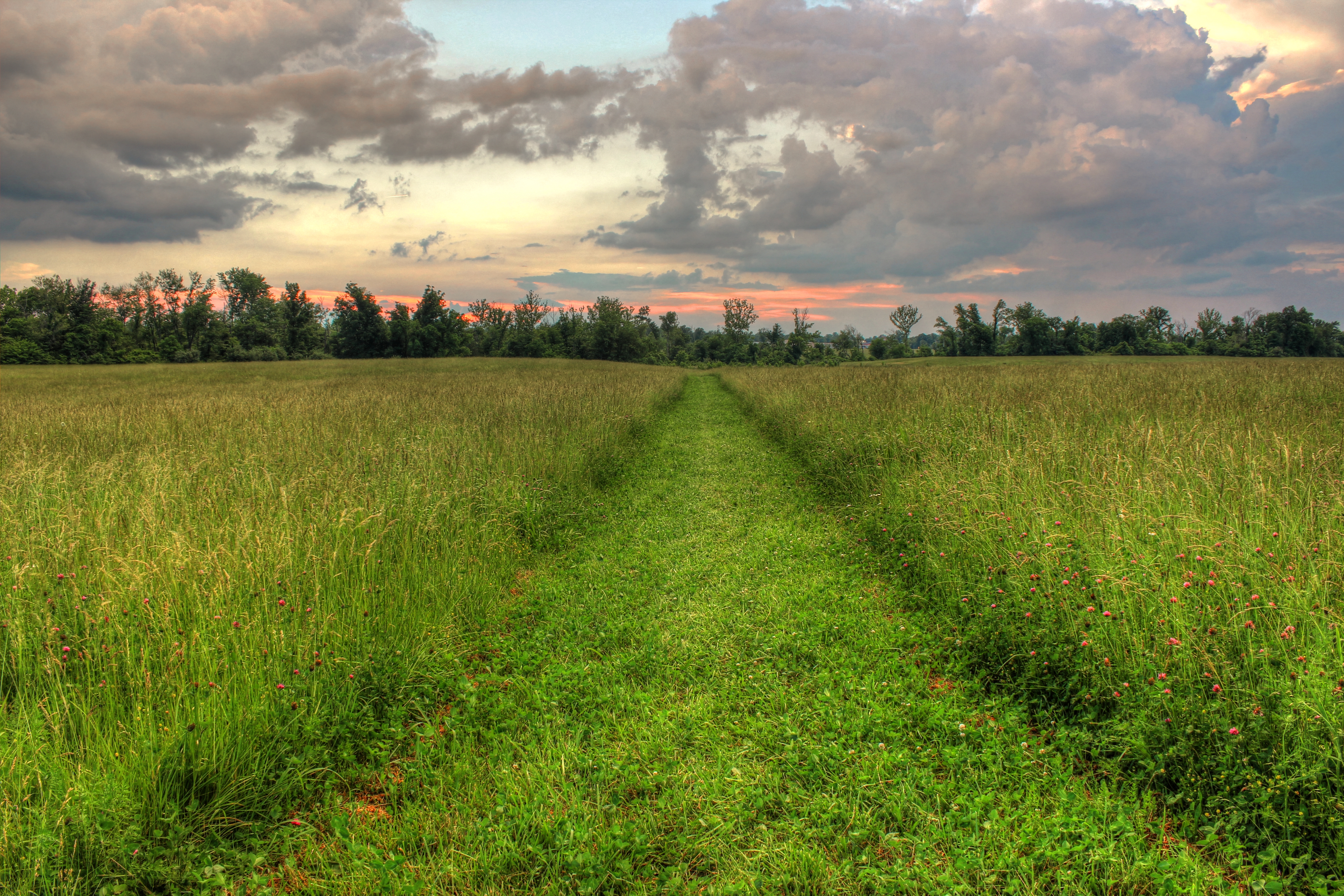
Sunset Southern Illinois

HDR Winter Sunset
11/23/2008
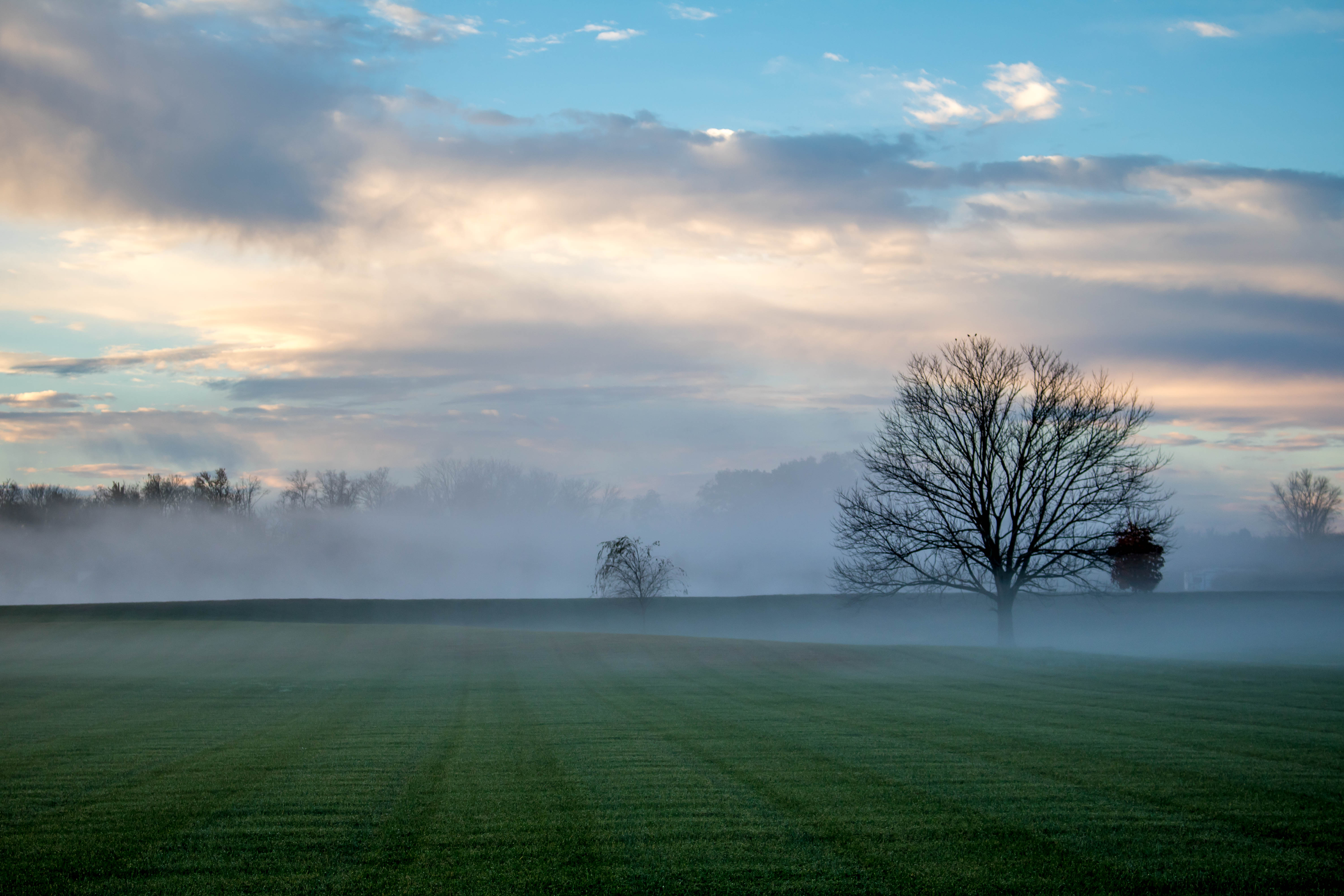
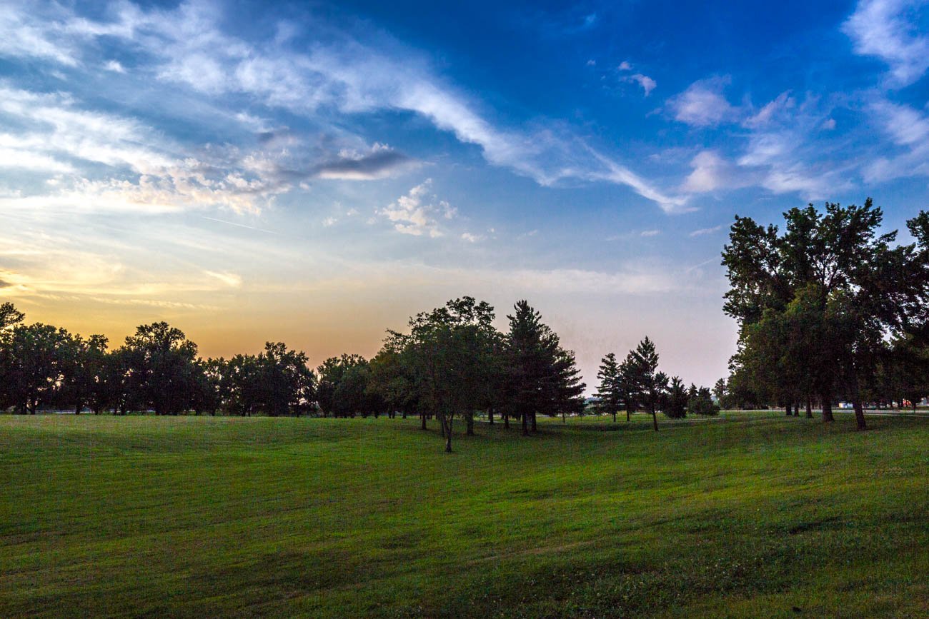
Southern Illinois early morning serenity.
IMG_4113.jpg

248 - Morning horizon

IMG_5456.jpg
IMG_5445.jpg
IMG_4465_6_7.jpg
Winter Sunsets
COWLR SUNSET
Living in Marion Illinois
IMG_4107.jpg
Topographic Map of Mauseyville Road, Mauseyville Rd, Creal Springs, IL, USA
Find elevation by address:

Places near Mauseyville Road, Mauseyville Rd, Creal Springs, IL, USA:
Stonefort Township
E Keely St, Creal Springs, IL, USA
Creal Springs
IL-, Marion, IL, USA
Creal Springs
Williamson County
Crab Orchard Precinct
16314 Moellers Rd
Pope St, Marion, IL, USA
2206 Autumn Ln
Galatia Post Rd, Pittsburg, IL, USA
2201 Old Creal Springs Rd
East Marion Precinct
18873 Pittsburg Rd
6734 Il-37
Marion
Carrier Mills Township
E Reid St, Marion, IL, USA
IL-37, Marion, IL, USA
Stonefort Township
Recent Searches:
- Elevation of Snake Hill Rd, North Scituate, RI, USA
- Elevation of Lake Shore Dr, Warwick, RI, USA
- Elevation of E Brightview Ave, Pittsburgh, PA, USA
- Elevation of Cavendish Rd, Harringay Ladder, London N4 1RR, UK
- Elevation of 1 Zion Park Blvd, Springdale, UT, USA
- Elevation of Ganderbal
- Elevation map of Konkan Division, Maharashtra, India
- Elevation of Netaji Nagar, Hallow Pul, Kurla, Mumbai, Maharashtra, India
- Elevation of Uralsk, Kazakhstan
- Elevation of 45- Kahana Dr, Honokaa, HI, USA