Elevation of Sterling Road, Sterling Rd, Rockdale Township, PA, USA
Location: United States > Pennsylvania > Crawford County > Rockdale Township >
Longitude: -79.941086
Latitude: 41.7995327
Elevation: 430m / 1411feet
Barometric Pressure: 96KPa
Elevation Map:
Satellite Map:
Related Photos:

Daylily viewed from above
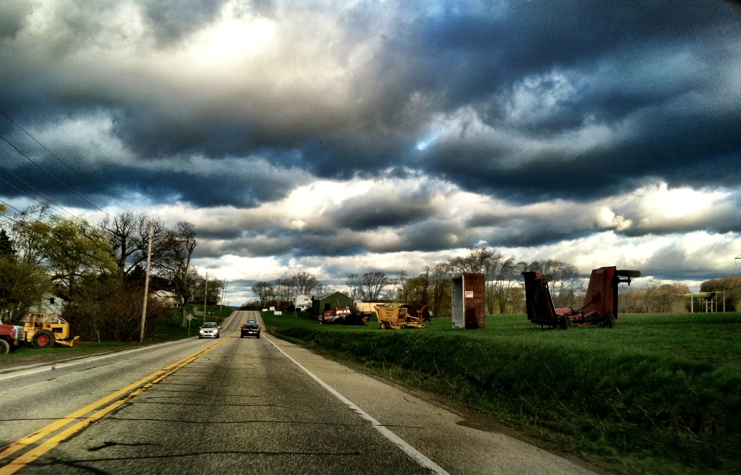
On my way to work today

Sunset, July 2nd #sunset #sunsetfloat #reflection #nwpa #paintthewater #kayaking
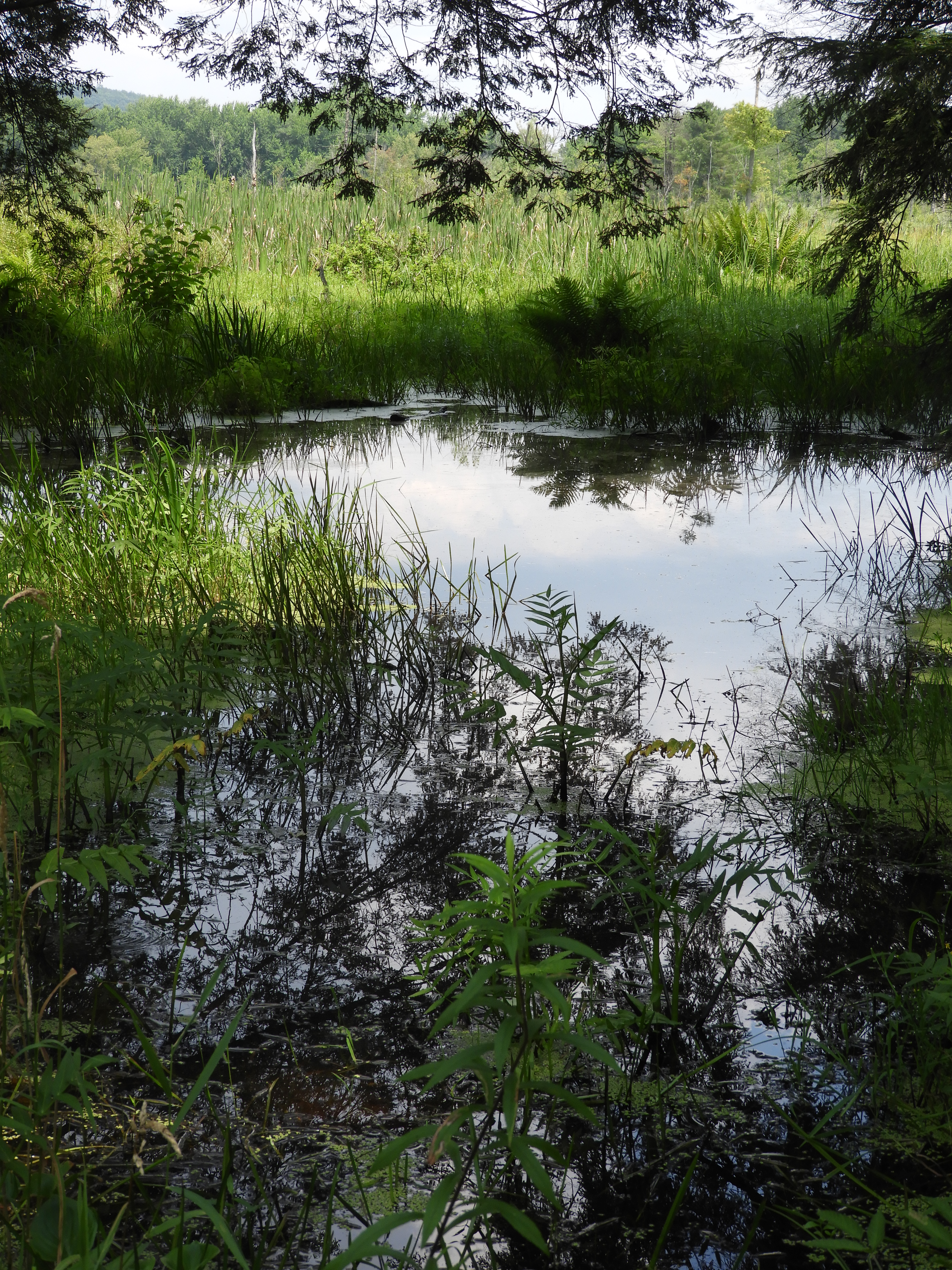
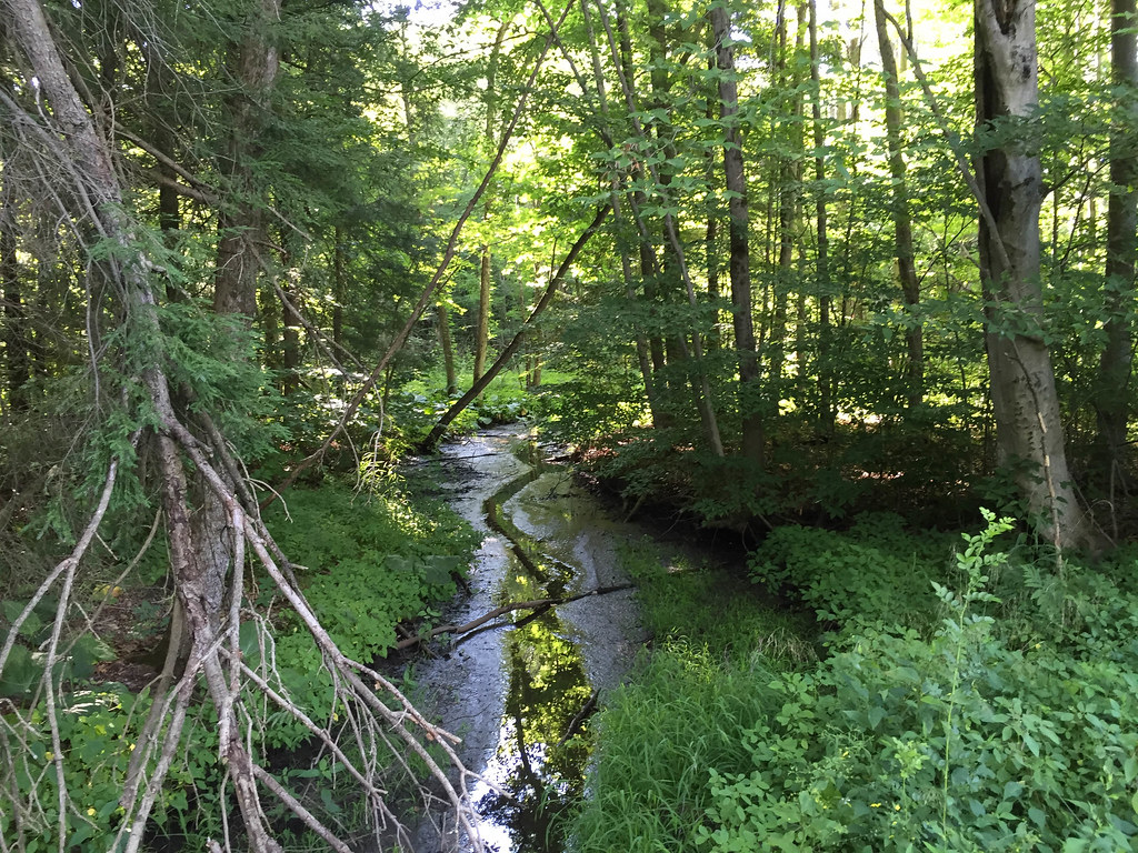
marsh and hemlock margin_ENWR
Waterford Covered Bridge, Waterford, PA

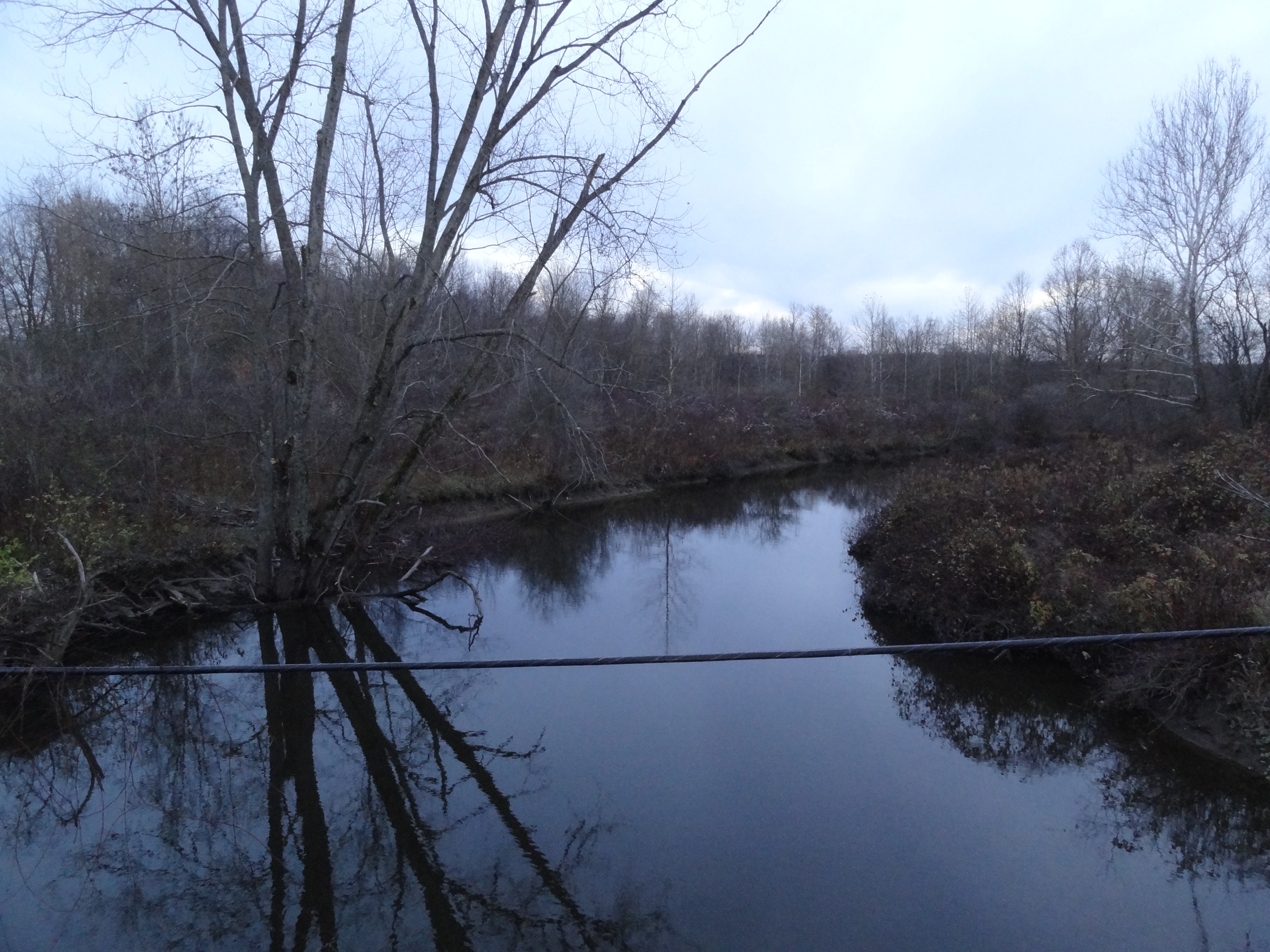
A true scene of being out in the country.

A true scene of being out in the country.
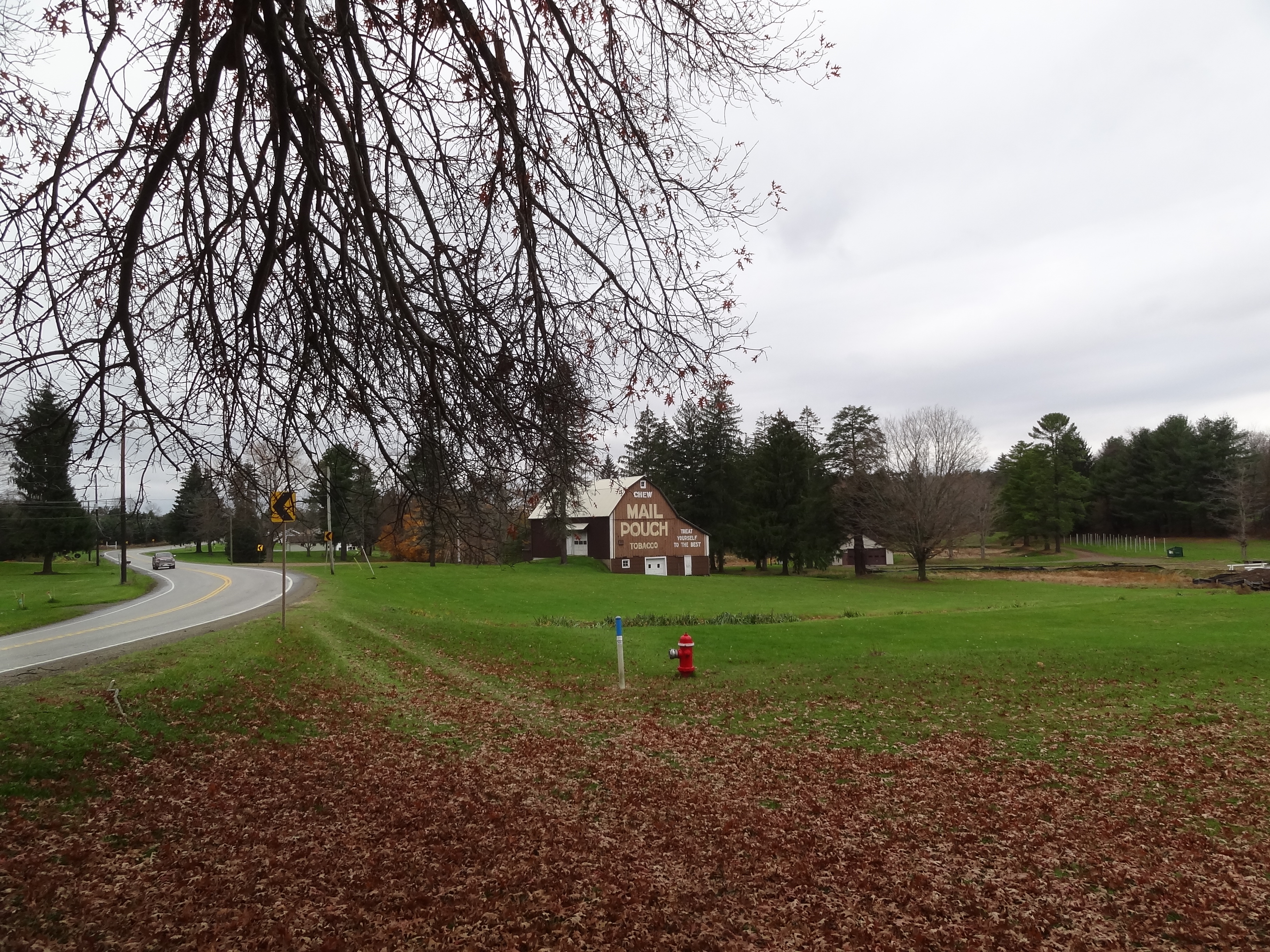
Mail Pouch barn - MPB 38-25-01, Union City, PA
Muddy Creek Holly Trail
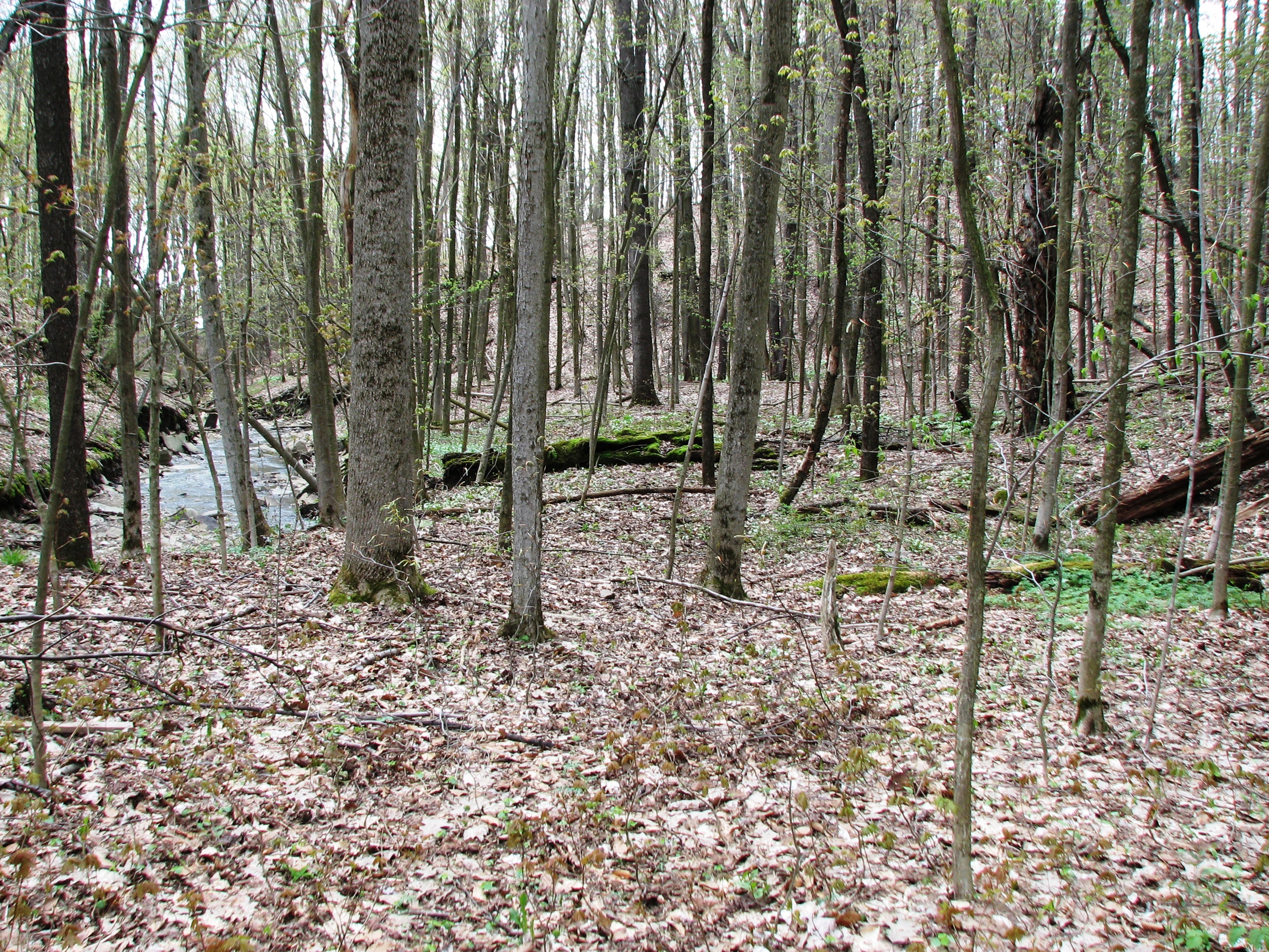
a rich sugar maple forest, habitat for West Virginia whites
Topographic Map of Sterling Road, Sterling Rd, Rockdale Township, PA, USA
Find elevation by address:

Places near Sterling Road, Sterling Rd, Rockdale Township, PA, USA:
Rockdale Township
24617 Wilkins Rd
Leboeuf Township
Bloomfield Township
3920 Stone Quarry Rd
13300 Old Rte 19
13300 Old Rte 19
13300 Old Rte 19
Railroad St, Cambridge Springs, PA, USA
13622 Waite Rd
16328 Pa-8
Union City
Riceville
PA-77, Centerville, PA, USA
986 Hood Hill Rd
Waterford
14 N Park Row, Waterford, PA, USA
Woodcock Township
Union Township
Guys Mills
Recent Searches:
- Elevation of 24 Oakland Rd #, Scotland, ON N0E 1R0, Canada
- Elevation of Deep Gap Farm Rd E, Mill Spring, NC, USA
- Elevation of Dog Leg Dr, Minden, NV, USA
- Elevation of Dog Leg Dr, Minden, NV, USA
- Elevation of Kambingan Sa Pansol Atbp., Purok 7 Pansol, Candaba, Pampanga, Philippines
- Elevation of Pinewood Dr, New Bern, NC, USA
- Elevation of Mountain View, CA, USA
- Elevation of Foligno, Province of Perugia, Italy
- Elevation of Blauwestad, Netherlands
- Elevation of Bella Terra Blvd, Estero, FL, USA