Elevation of Bloomfield Township, PA, USA
Location: United States > Pennsylvania > Crawford County >
Longitude: -79.852081
Latitude: 41.8066911
Elevation: 474m / 1555feet
Barometric Pressure: 96KPa
Elevation Map:
Satellite Map:
Related Photos:
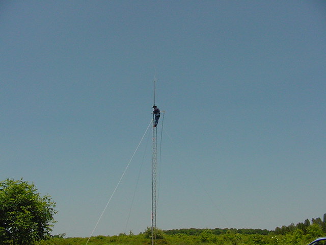
MVC-027S

Storm 3
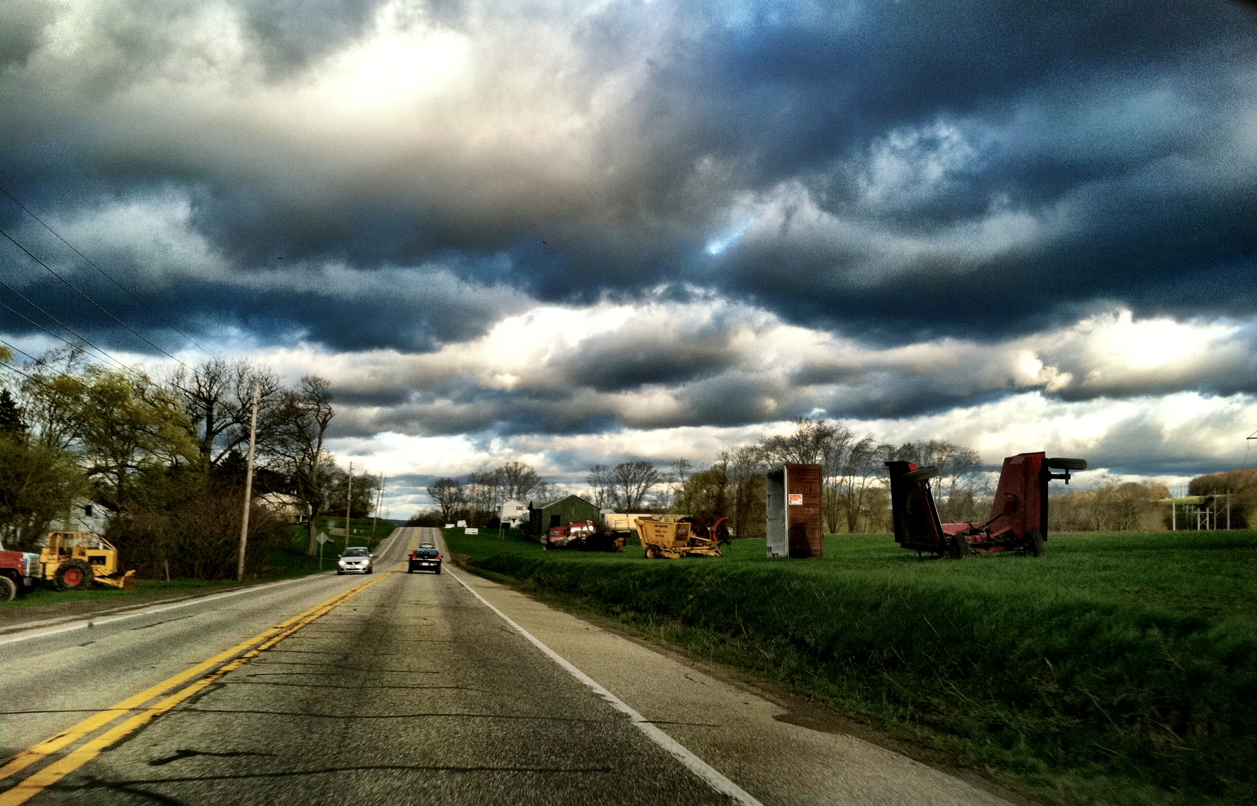
On my way to work today
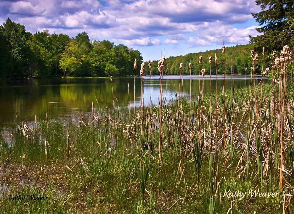
Union City Reservoir
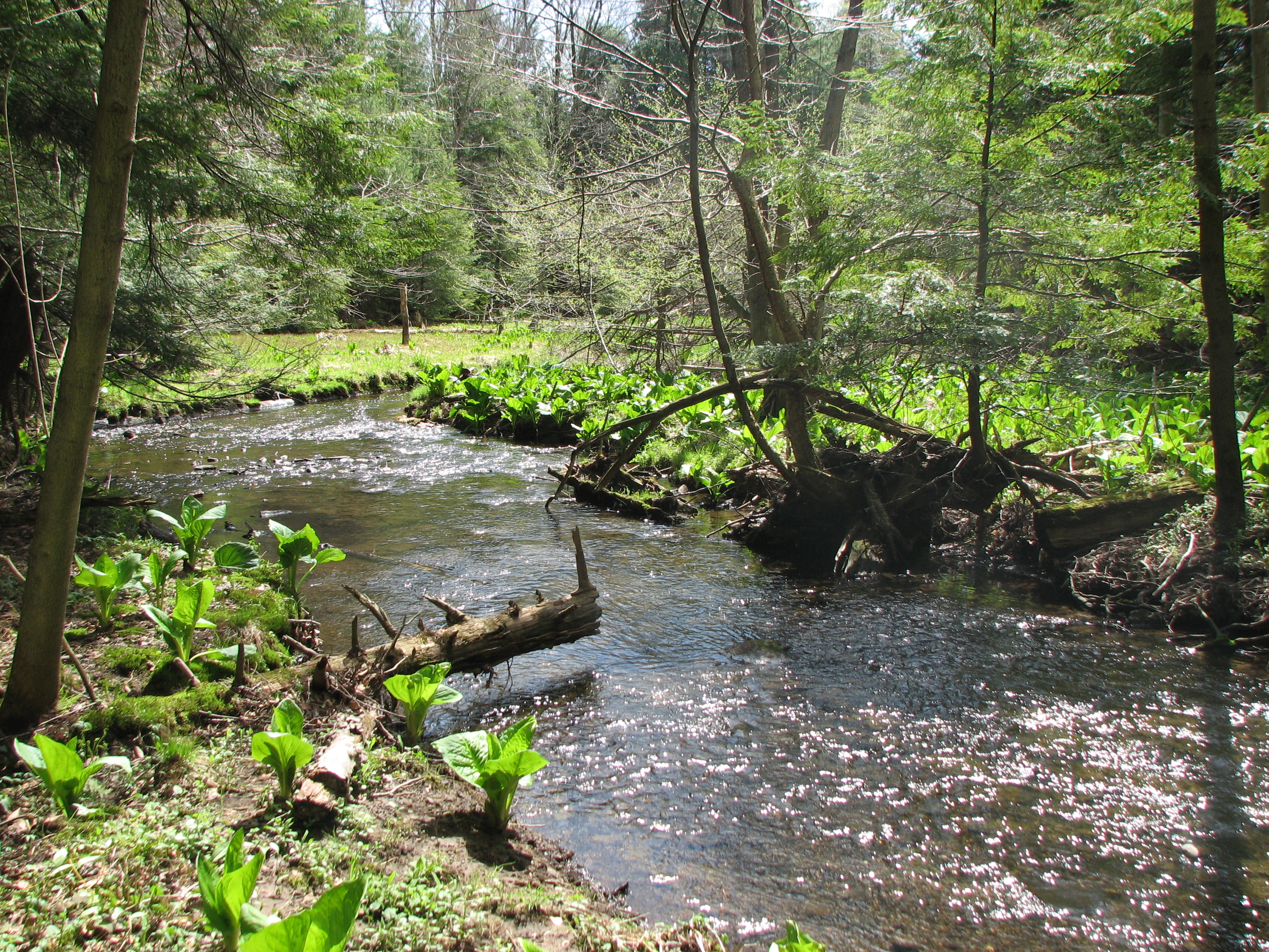
creek flowing to Union City Hatchery
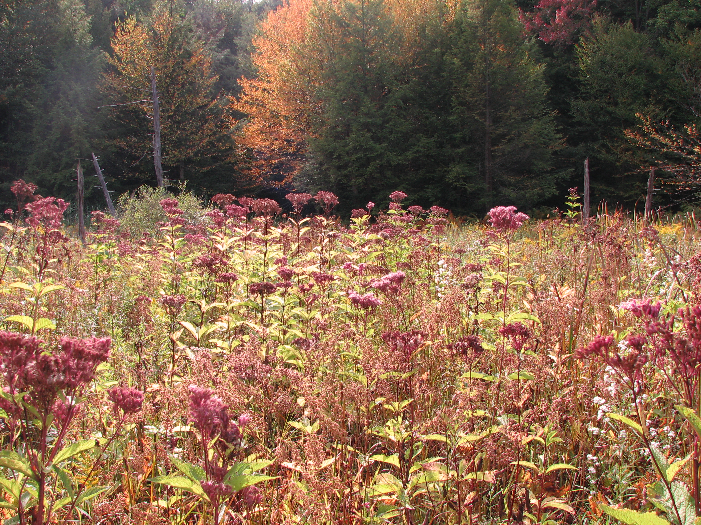
fen / beaver meadow
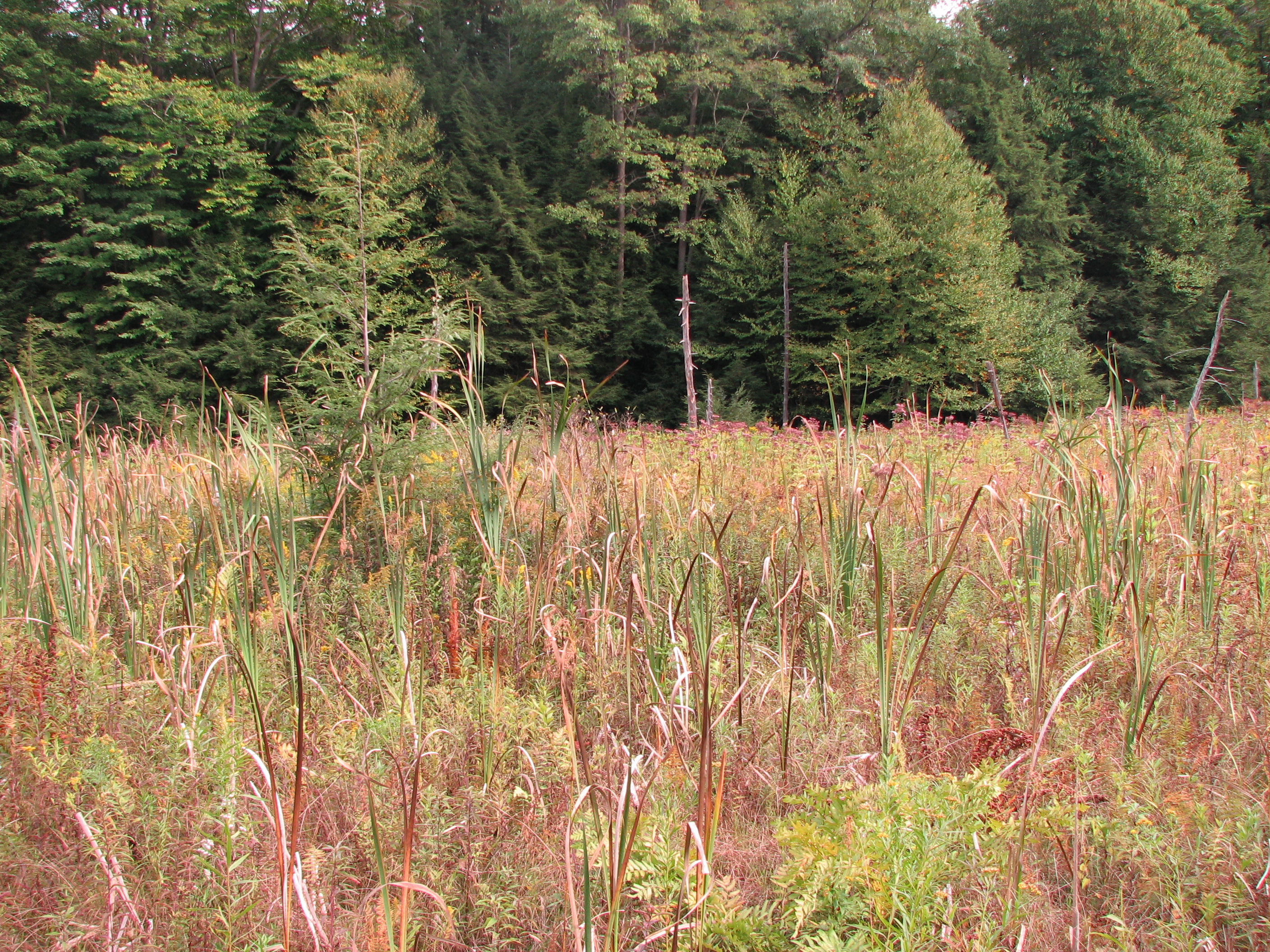
fen / beaver meadow
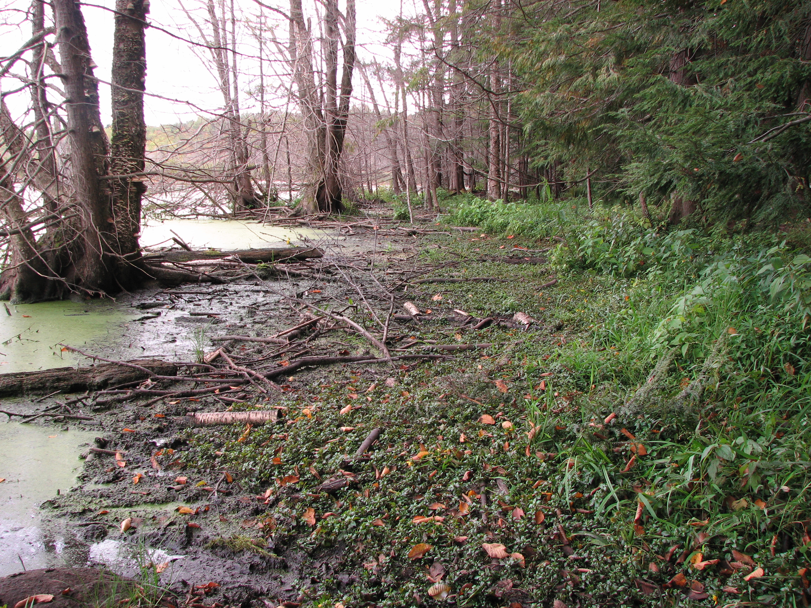
Carex bebbii habitat on the edge of a large beaver pond

a skunk cabbage seep that supports West Virginia whites

fen / beaver meadow

Clinton's woodfern
Topographic Map of Bloomfield Township, PA, USA
Find elevation by address:

Places in Bloomfield Township, PA, USA:
Places near Bloomfield Township, PA, USA:
24617 Wilkins Rd
Riceville
PA-77, Centerville, PA, USA
16328 Pa-8
Sterling Road
Union City
Union Township
Leboeuf Township
3920 Stone Quarry Rd
Rockdale Township
10799 Turnpike Rd
Concord Township
8147 Wattsburg-waterford Rd
Amity Township
Pennsylvania 89
Main St, Spartansburg, PA, USA
Troy Township
Spartansburg
13300 Old Rte 19
13300 Old Rte 19
Recent Searches:
- Elevation of Corso Fratelli Cairoli, 35, Macerata MC, Italy
- Elevation of Tallevast Rd, Sarasota, FL, USA
- Elevation of 4th St E, Sonoma, CA, USA
- Elevation of Black Hollow Rd, Pennsdale, PA, USA
- Elevation of Oakland Ave, Williamsport, PA, USA
- Elevation of Pedrógão Grande, Portugal
- Elevation of Klee Dr, Martinsburg, WV, USA
- Elevation of Via Roma, Pieranica CR, Italy
- Elevation of Tavkvetili Mountain, Georgia
- Elevation of Hartfords Bluff Cir, Mt Pleasant, SC, USA