Elevation of Troy Township, PA, USA
Location: United States > Pennsylvania > Crawford County >
Longitude: -79.807261
Latitude: 41.6449575
Elevation: 462m / 1516feet
Barometric Pressure: 96KPa
Elevation Map:
Satellite Map:
Related Photos:

The Barn on the Hill

Caboose Motel, Titusville, Pennsylvania

Do You Believe In Ghosts?

#BusinessTrip to the #EastCoast #October2018

Scenic View
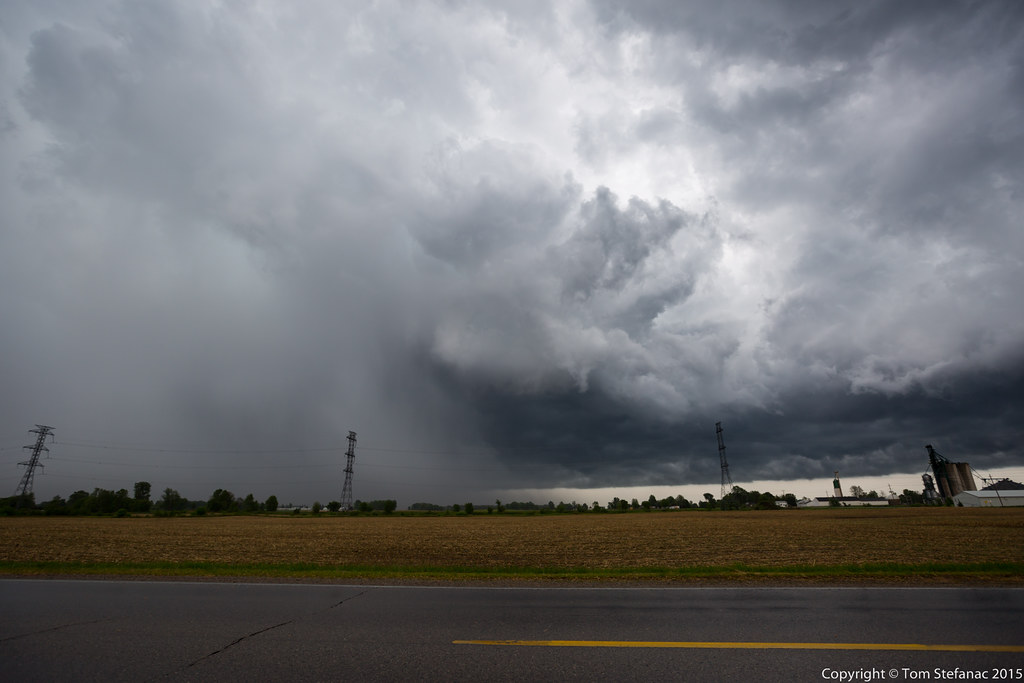
Storm 3

Wildlife viewing

White-eyed Vireo, Erie NWR, Crawford County, PA, Canon SX50, May 9, 2016

Erie National Wildlife Refuge (Revisited) (7)

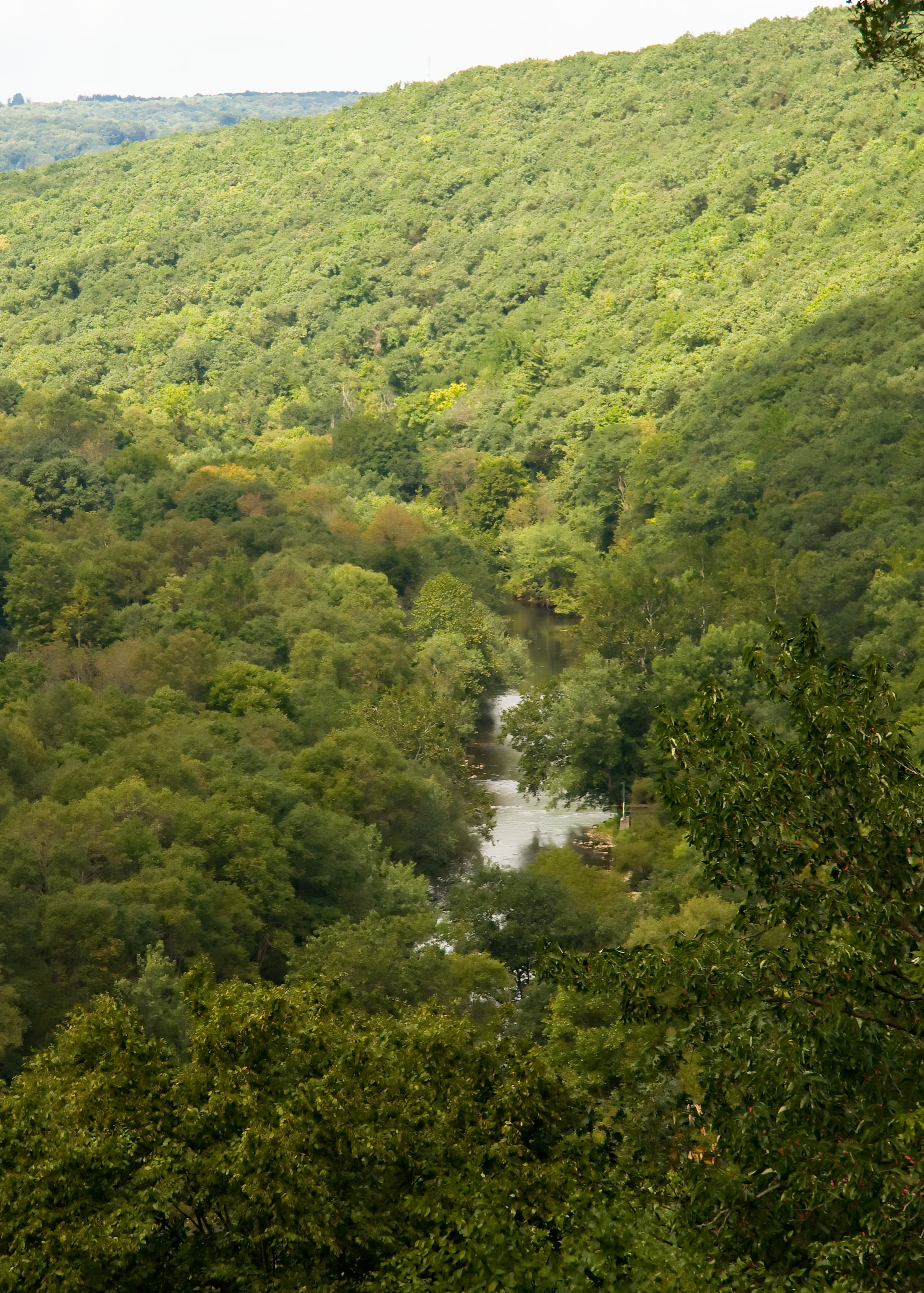
Oil Creek from Above

Erie National Wildlife Refuge
Oil Creek

Fording Oil Creek

Trail Sign

Old Country Church

On the Trail

Fallen Tree

Oil Creek and Drake Museum Along Its Banks

On the Trail

On the Trail

Oil Creek

Fallen Leaves 2

Jersey Bridge

Jersey Bridge over Oil Creek

Oil Creek

Oil Creek
misc-043.jpg
Topographic Map of Troy Township, PA, USA
Find elevation by address:

Places near Troy Township, PA, USA:
Troy Center Rd, Titusville, PA, USA
10017 Fauncetown Rd
Plum Township
Ridgeview Rd, Cooperstown, PA, USA
Guys Mill Rd, Guys Mills, PA, USA
Randolph Township
29561 Pa-27
Guys Mills
Wayne Township
26850 Deckards Rd
East Mead Township
N Wayland Rd, Meadville, PA, USA
S Franklin St, Cochranton, PA, USA
Cochranton
153 S Smith St
525 Sunset Dr
383 Benson Ave
873 Lafayette St
765 Liberty St
Park Ave, Meadville, PA, USA
Recent Searches:
- Elevation of Lampiasi St, Sarasota, FL, USA
- Elevation of Elwyn Dr, Roanoke Rapids, NC, USA
- Elevation of Congressional Dr, Stevensville, MD, USA
- Elevation of Bellview Rd, McLean, VA, USA
- Elevation of Stage Island Rd, Chatham, MA, USA
- Elevation of Shibuya Scramble Crossing, 21 Udagawacho, Shibuya City, Tokyo -, Japan
- Elevation of Jadagoniai, Kaunas District Municipality, Lithuania
- Elevation of Pagonija rock, Kranto 7-oji g. 8"N, Kaunas, Lithuania
- Elevation of Co Rd 87, Jamestown, CO, USA
- Elevation of Tenjo, Cundinamarca, Colombia