Elevation of Riceville, PA, USA
Location: United States > Pennsylvania > Crawford County > Bloomfield Township >
Longitude: -79.802830
Latitude: 41.7775577
Elevation: 412m / 1352feet
Barometric Pressure: 96KPa
Elevation Map:
Satellite Map:
Related Photos:

The Barn on the Hill
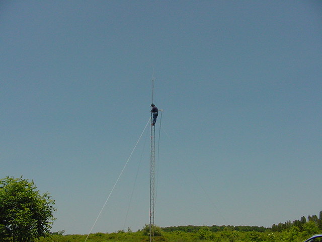
MVC-027S

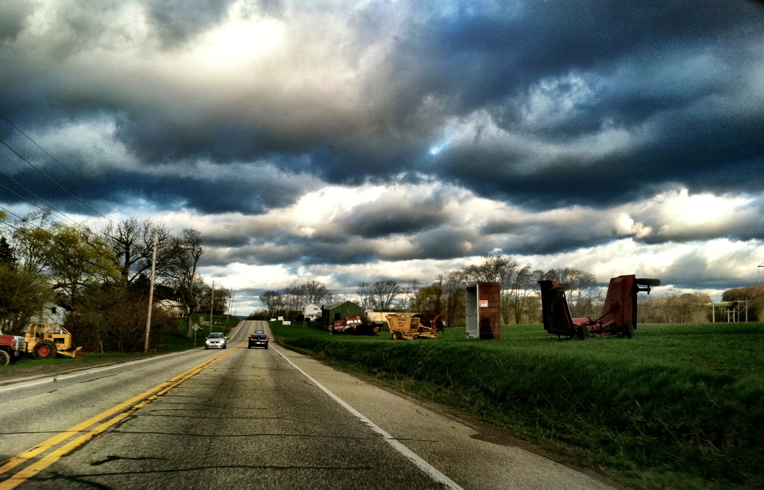
Storm 3
On my way to work today

Union City Reservoir
misc-043.jpg
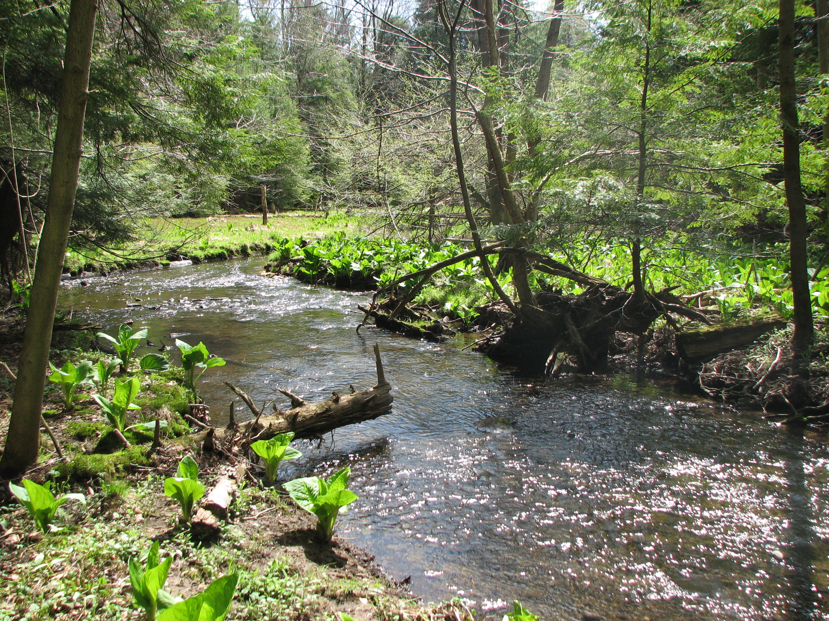
creek flowing to Union City Hatchery
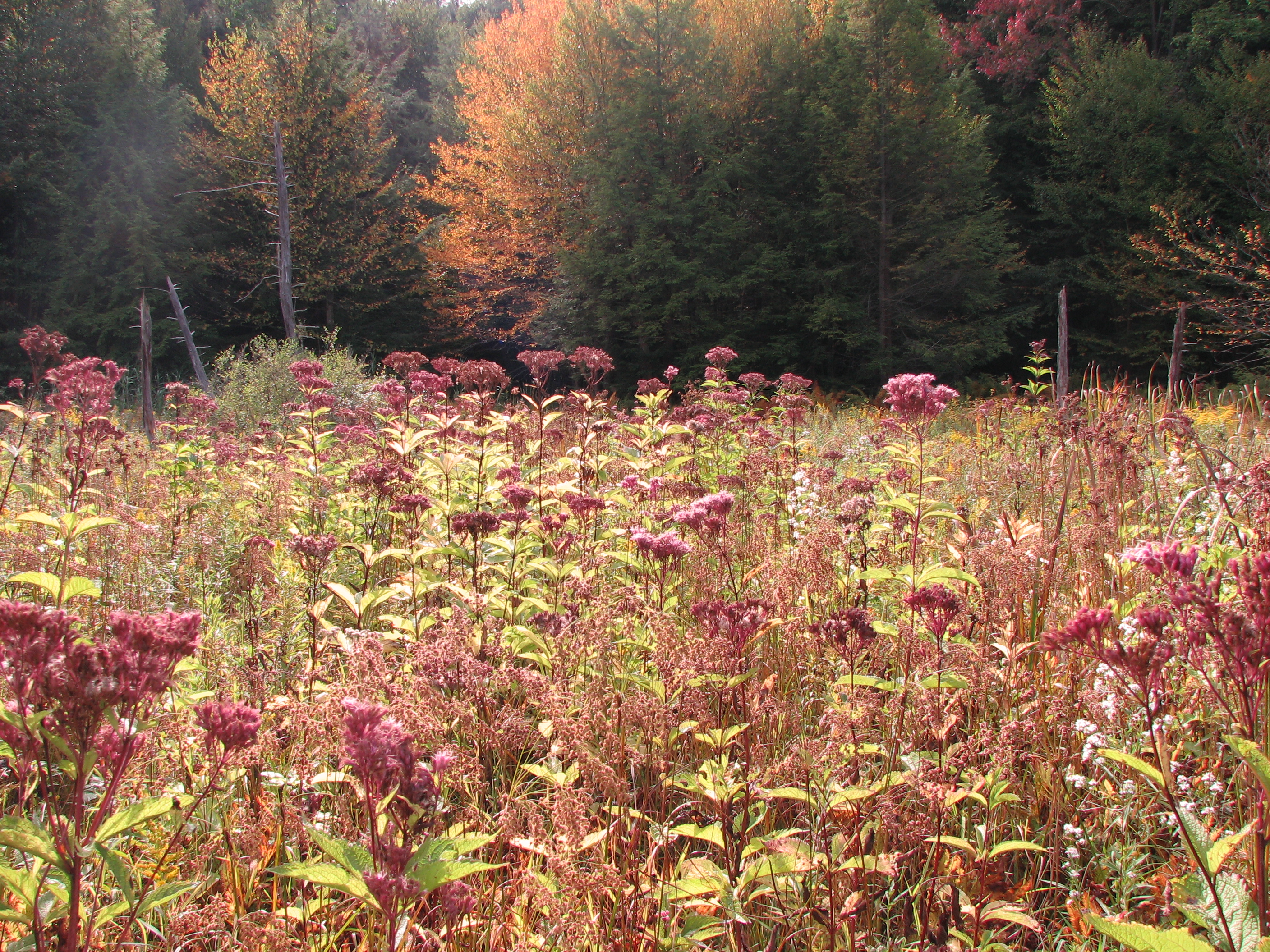
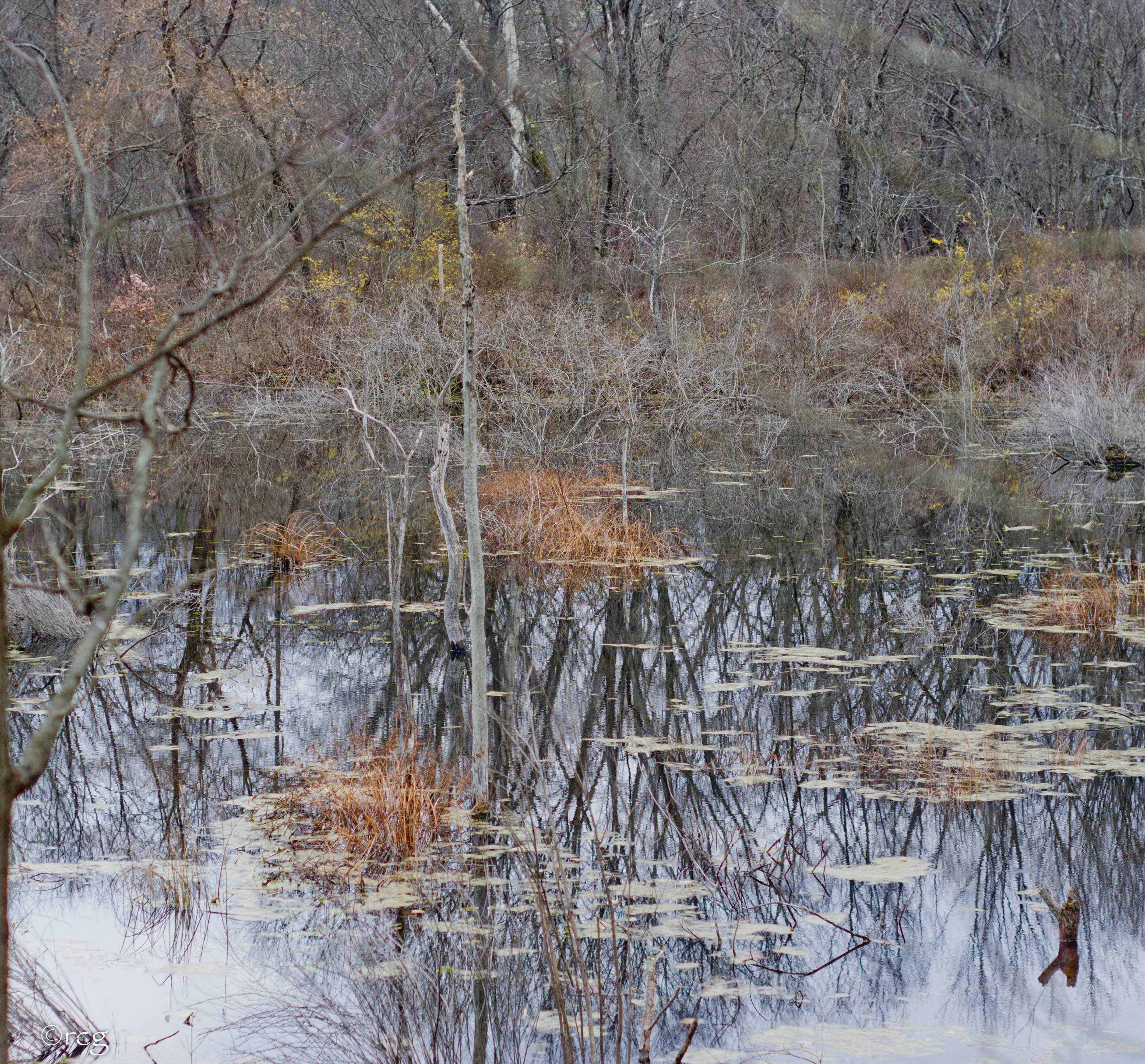
fen / beaver meadow
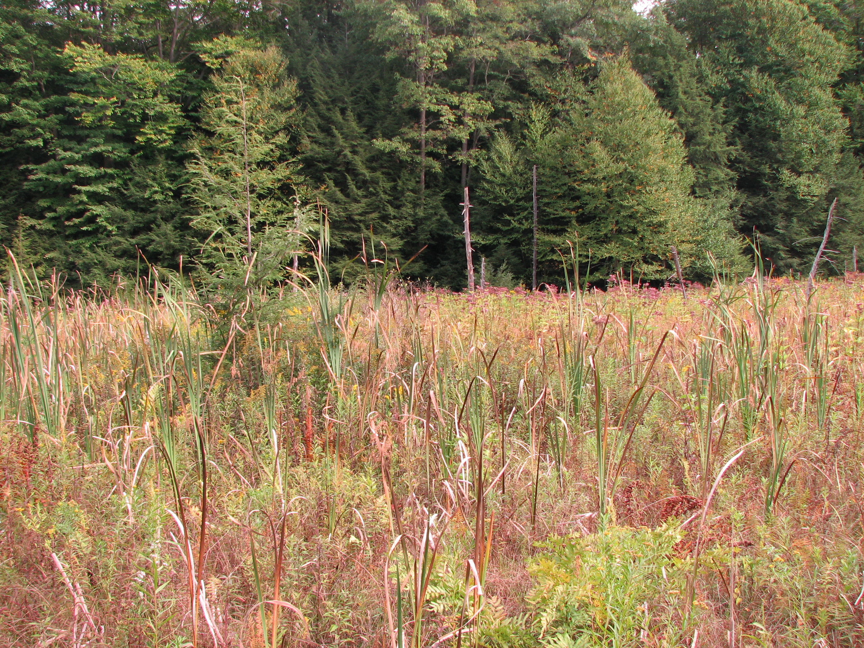
fen / beaver meadow
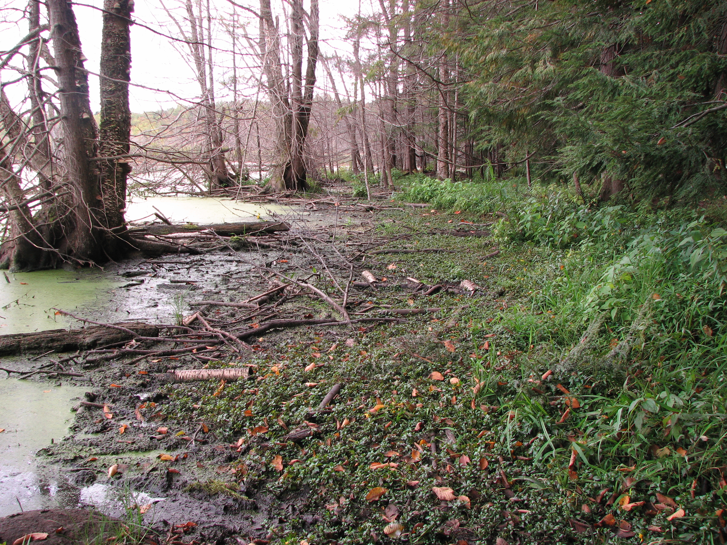
Carex bebbii habitat on the edge of a large beaver pond

a skunk cabbage seep that supports West Virginia whites

fen / beaver meadow
Topographic Map of Riceville, PA, USA
Find elevation by address:

Places in Riceville, PA, USA:
Places near Riceville, PA, USA:
PA-77, Centerville, PA, USA
Bloomfield Township
24617 Wilkins Rd
16328 Pa-8
Main St, Spartansburg, PA, USA
Spartansburg
Concord Township
Union City
Troy Township
39321 Pa-408
Union Township
Sterling Road
10799 Turnpike Rd
42424 Thompson Run Rd
Troy Center Rd, Titusville, PA, USA
Oil Creek And Titusville Railroad
Pennsylvania 89
Leboeuf Township
10017 Fauncetown Rd
12956 N Perry Rd
Recent Searches:
- Elevation of Corso Fratelli Cairoli, 35, Macerata MC, Italy
- Elevation of Tallevast Rd, Sarasota, FL, USA
- Elevation of 4th St E, Sonoma, CA, USA
- Elevation of Black Hollow Rd, Pennsdale, PA, USA
- Elevation of Oakland Ave, Williamsport, PA, USA
- Elevation of Pedrógão Grande, Portugal
- Elevation of Klee Dr, Martinsburg, WV, USA
- Elevation of Via Roma, Pieranica CR, Italy
- Elevation of Tavkvetili Mountain, Georgia
- Elevation of Hartfords Bluff Cir, Mt Pleasant, SC, USA