Elevation of LeBoeuf Township, Leboeuf Township, PA, USA
Location: United States > Pennsylvania > Erie County >
Longitude: -79.952845
Latitude: 41.8648101
Elevation: 448m / 1470feet
Barometric Pressure: 96KPa
Elevation Map:
Satellite Map:
Related Photos:

Pinhole Graveyard

Daylily viewed from above

Sparrow Pond Campground Overlook, Waterford PA
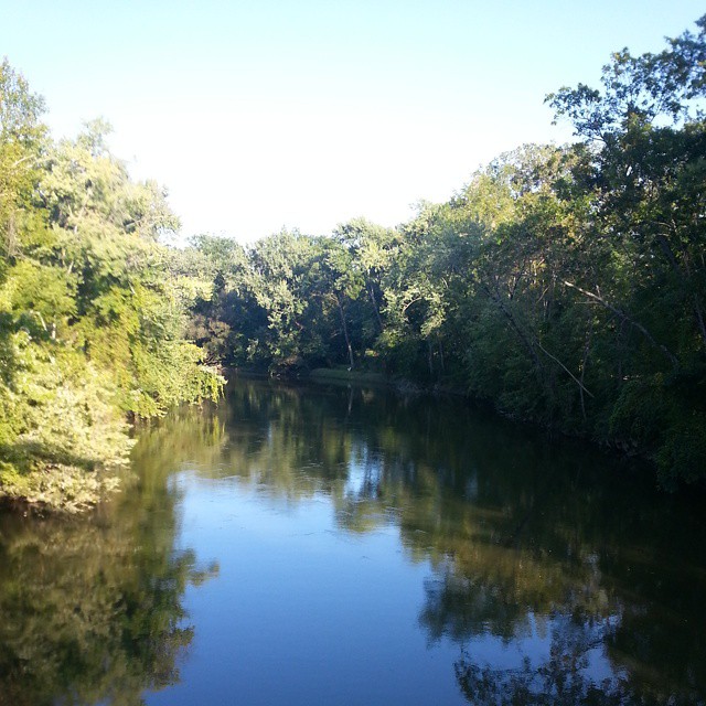
Union City Reservoir
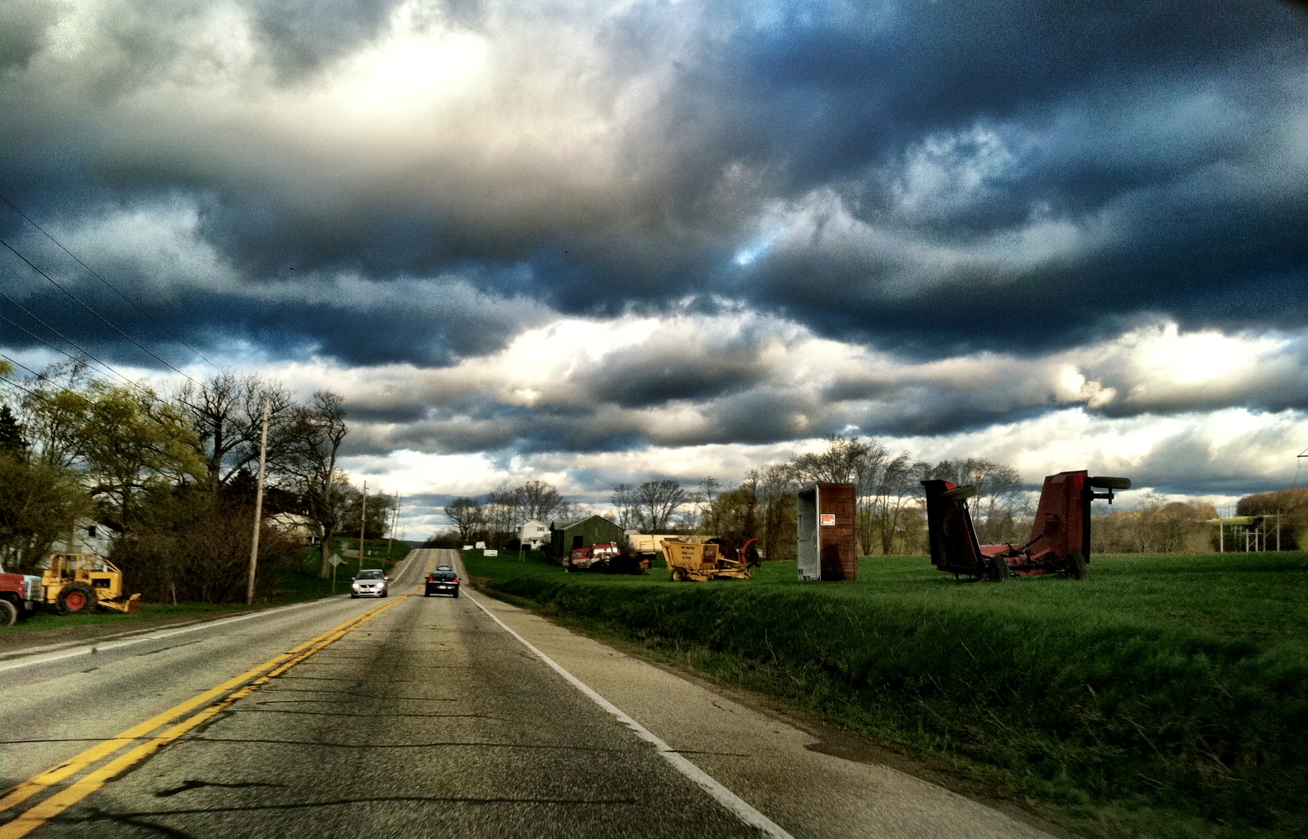
On my way to work today

Sunset, July 2nd #sunset #sunsetfloat #reflection #nwpa #paintthewater #kayaking

white-faced meadowhawk
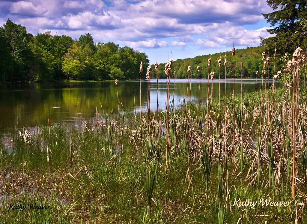
A true scene of being out in the country.

Edinboro Landscape

Edinboro Farm

A true scene of being out in the country.
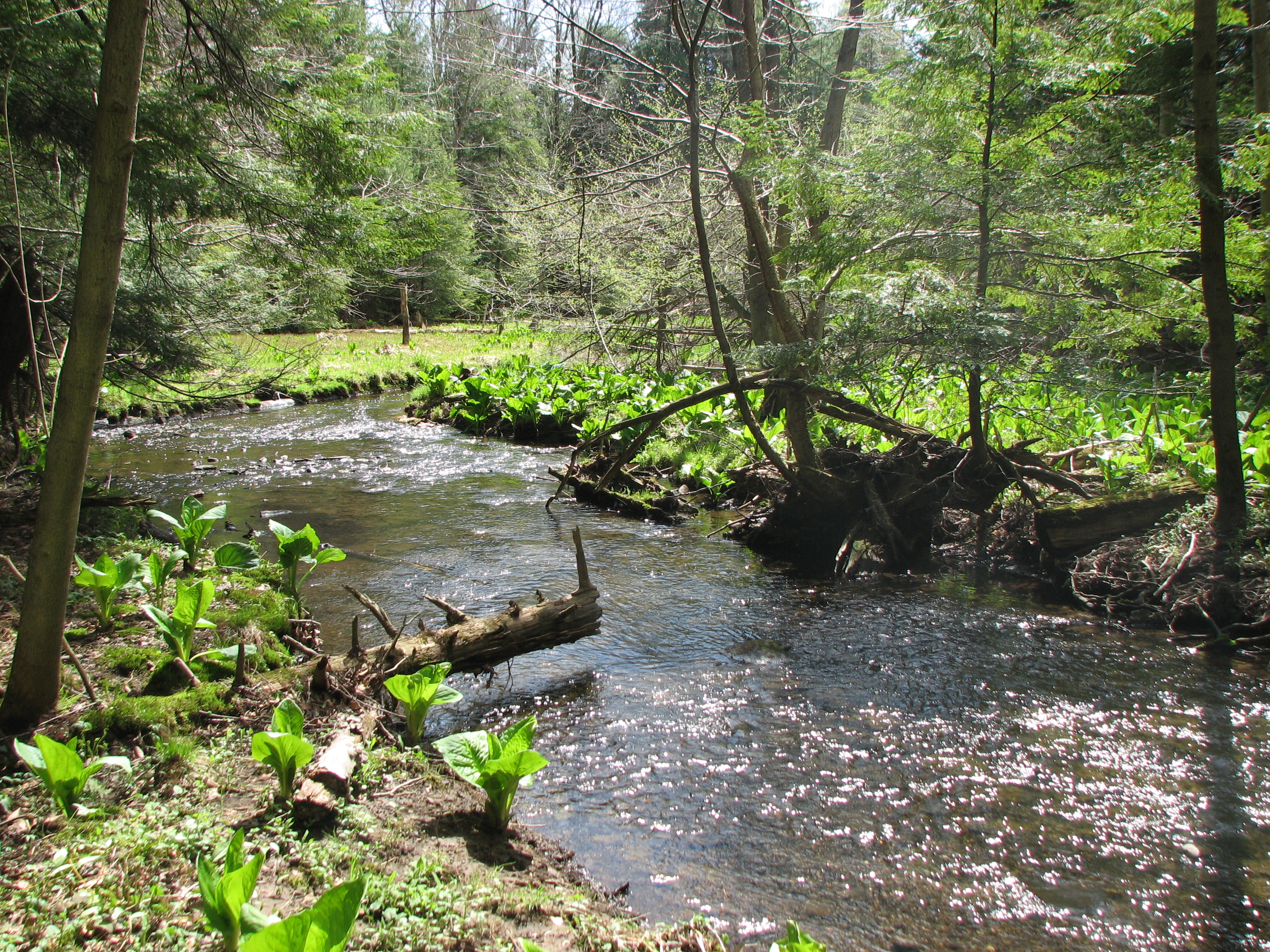
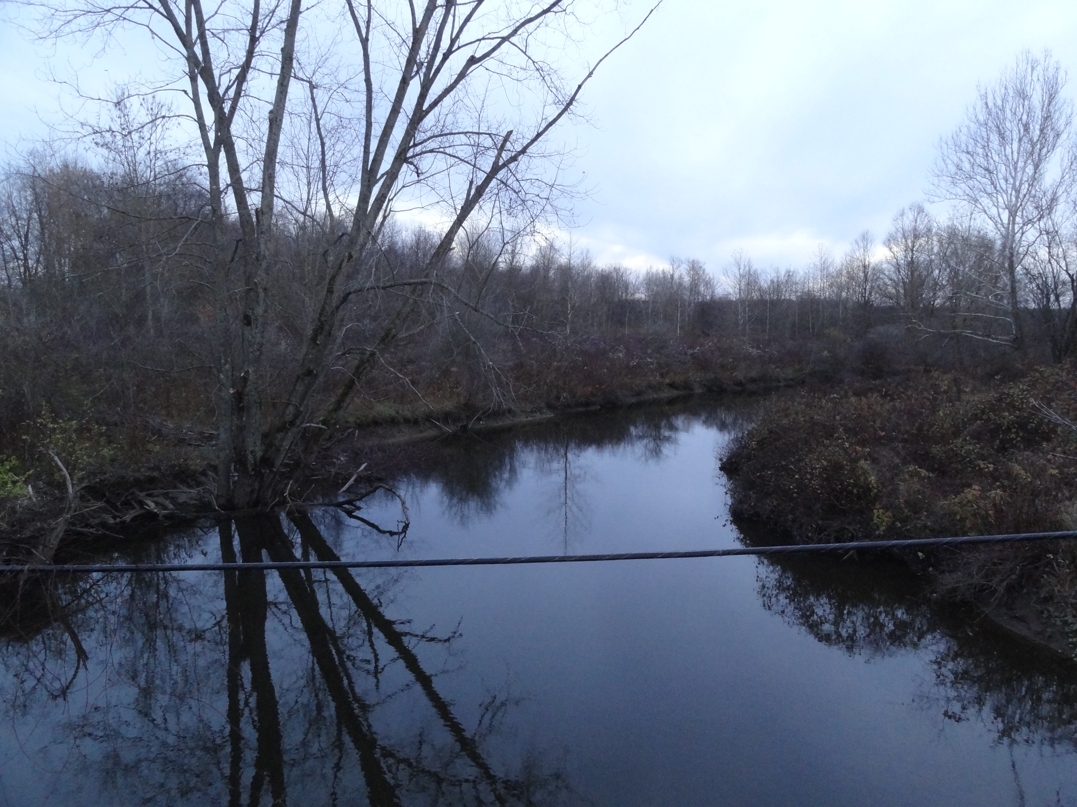
creek flowing to Union City Hatchery
Waterford Covered Bridge, Waterford, PA
Topographic Map of LeBoeuf Township, Leboeuf Township, PA, USA
Find elevation by address:

Places near LeBoeuf Township, Leboeuf Township, PA, USA:
3920 Stone Quarry Rd
13300 Old Rte 19
13300 Old Rte 19
13300 Old Rte 19
13622 Waite Rd
986 Hood Hill Rd
Waterford
14 N Park Row, Waterford, PA, USA
16328 Pa-8
Union City
Waterford Township
2897 Strong Rd
11923 Sharp Rd
8147 Wattsburg-waterford Rd
Union Township
Greenlee Rd, Waterford, PA, USA
2370 S Hill Rd
311 Waterford St
101 Granada Dr
Edinboro University
Recent Searches:
- Elevation of Jalan Senandin, Lutong, Miri, Sarawak, Malaysia
- Elevation of Bilohirs'k
- Elevation of 30 Oak Lawn Dr, Barkhamsted, CT, USA
- Elevation of Luther Road, Luther Rd, Auburn, CA, USA
- Elevation of Unnamed Road, Respublika Severnaya Osetiya — Alaniya, Russia
- Elevation of Verkhny Fiagdon, North Ossetia–Alania Republic, Russia
- Elevation of F. Viola Hiway, San Rafael, Bulacan, Philippines
- Elevation of Herbage Dr, Gulfport, MS, USA
- Elevation of Lilac Cir, Haldimand, ON N3W 2G9, Canada
- Elevation of Harrod Branch Road, Harrod Branch Rd, Kentucky, USA