Elevation of Stayton Rd, Cumberland Furnace, TN, USA
Location: United States > Tennessee > Dickson County > Cumberland Furnace >
Longitude: -87.332019
Latitude: 36.2673429
Elevation: 167m / 548feet
Barometric Pressure: 99KPa
Elevation Map:
Satellite Map:
Related Photos:
the view from down here
future home
Dickson Co. Courthouse (alt view) - Charlotte, TN

Country View store, Charlotte, Tennessee

Dickson County Confederate Monument, rear view

Dickson County, TN Courthouse - Charlotte, TN

A View from the Porch
donut cooking, Country View Market
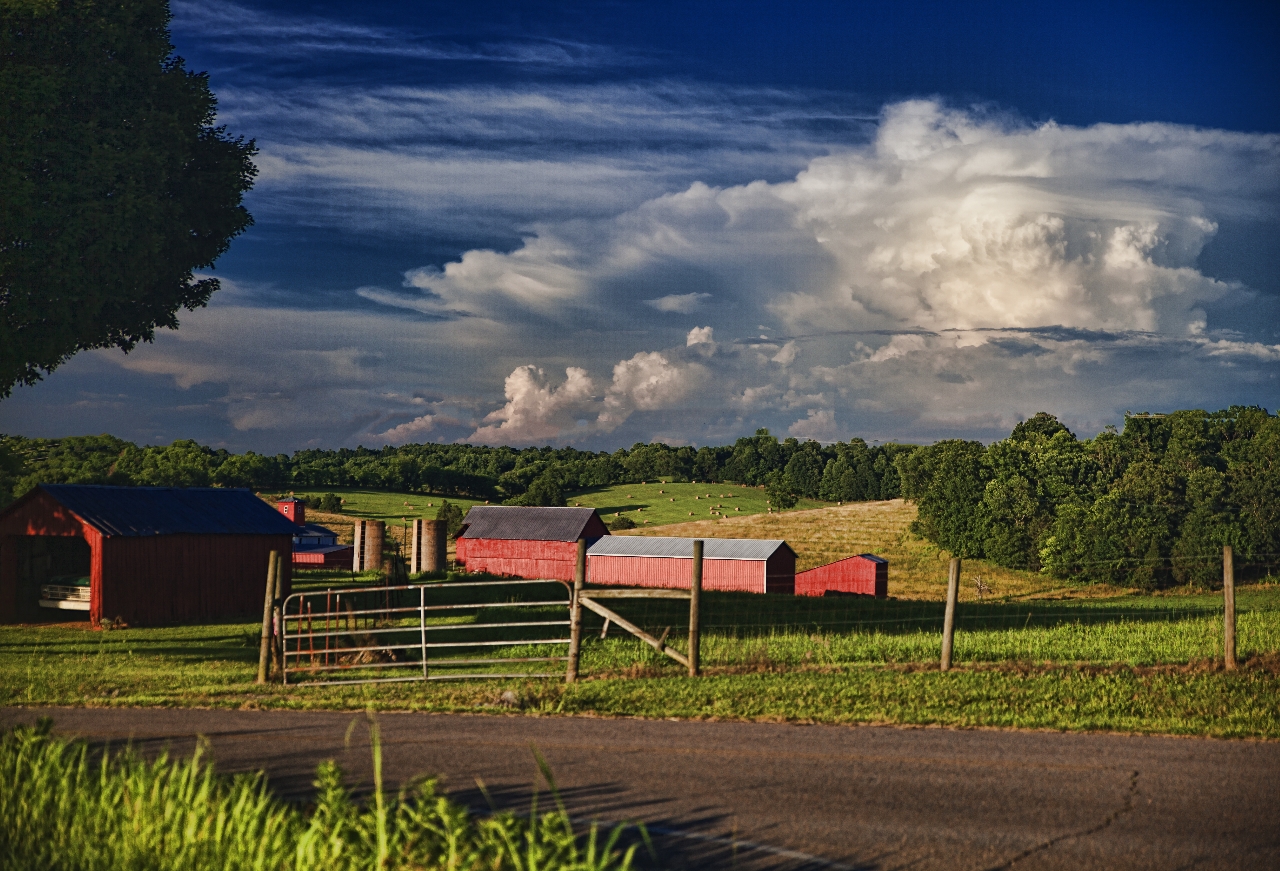
Century Farm
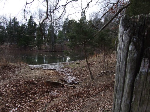
the pond
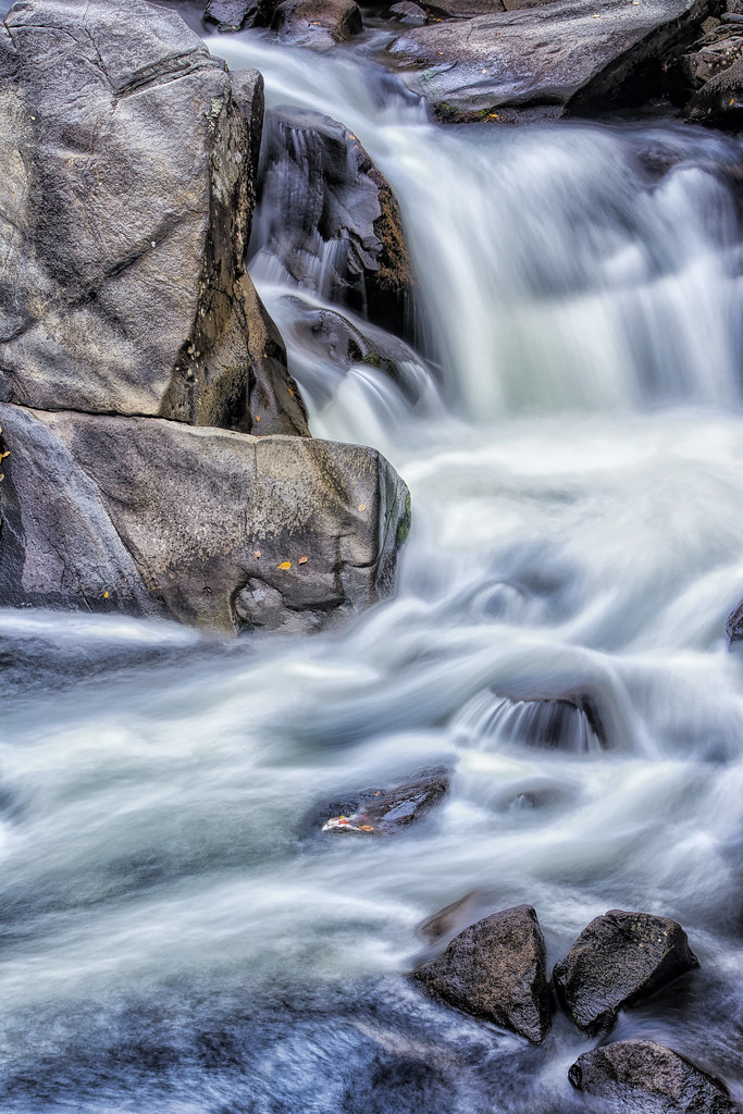
The Sinks

The Road
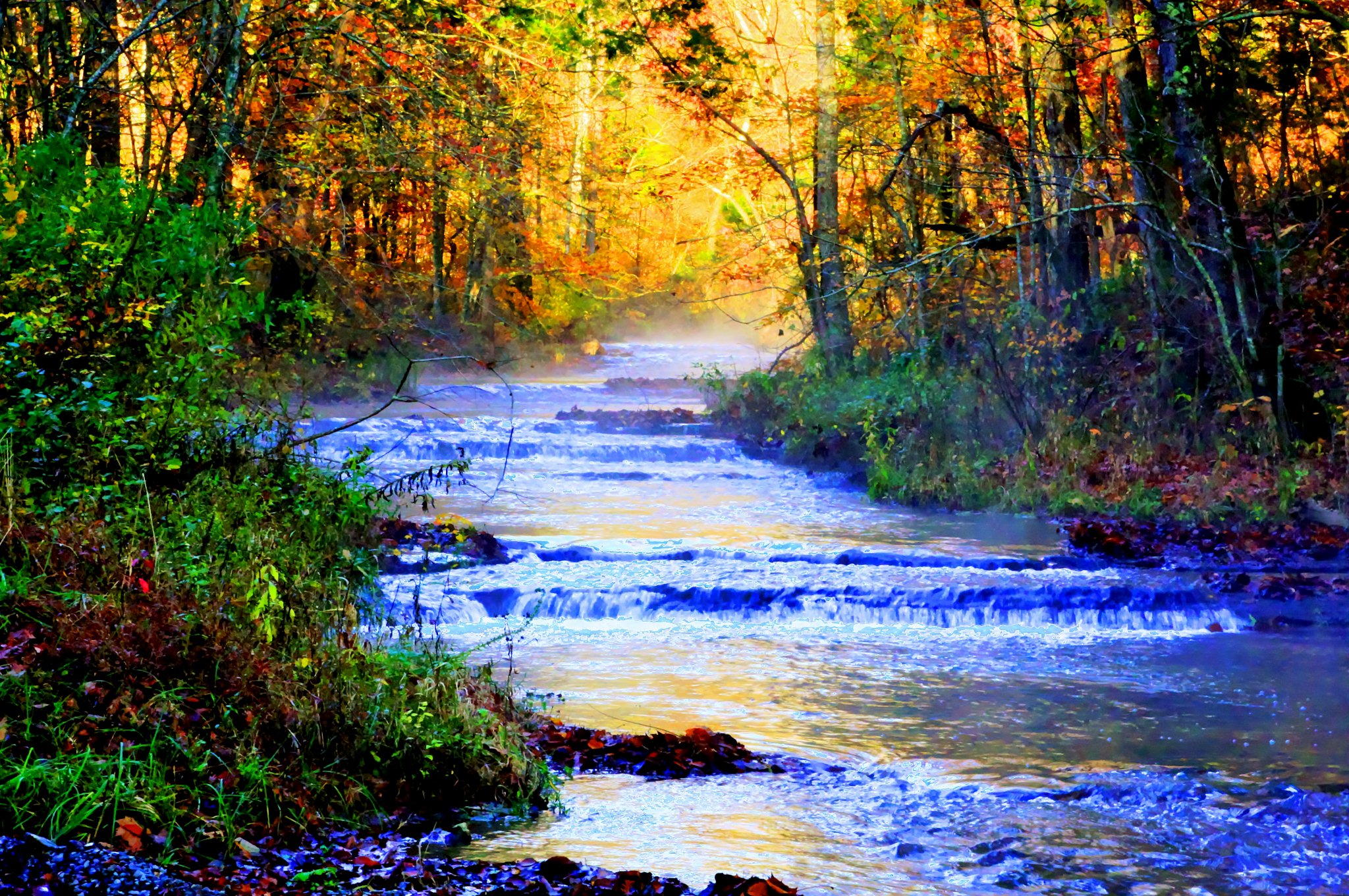
Along a Backroad
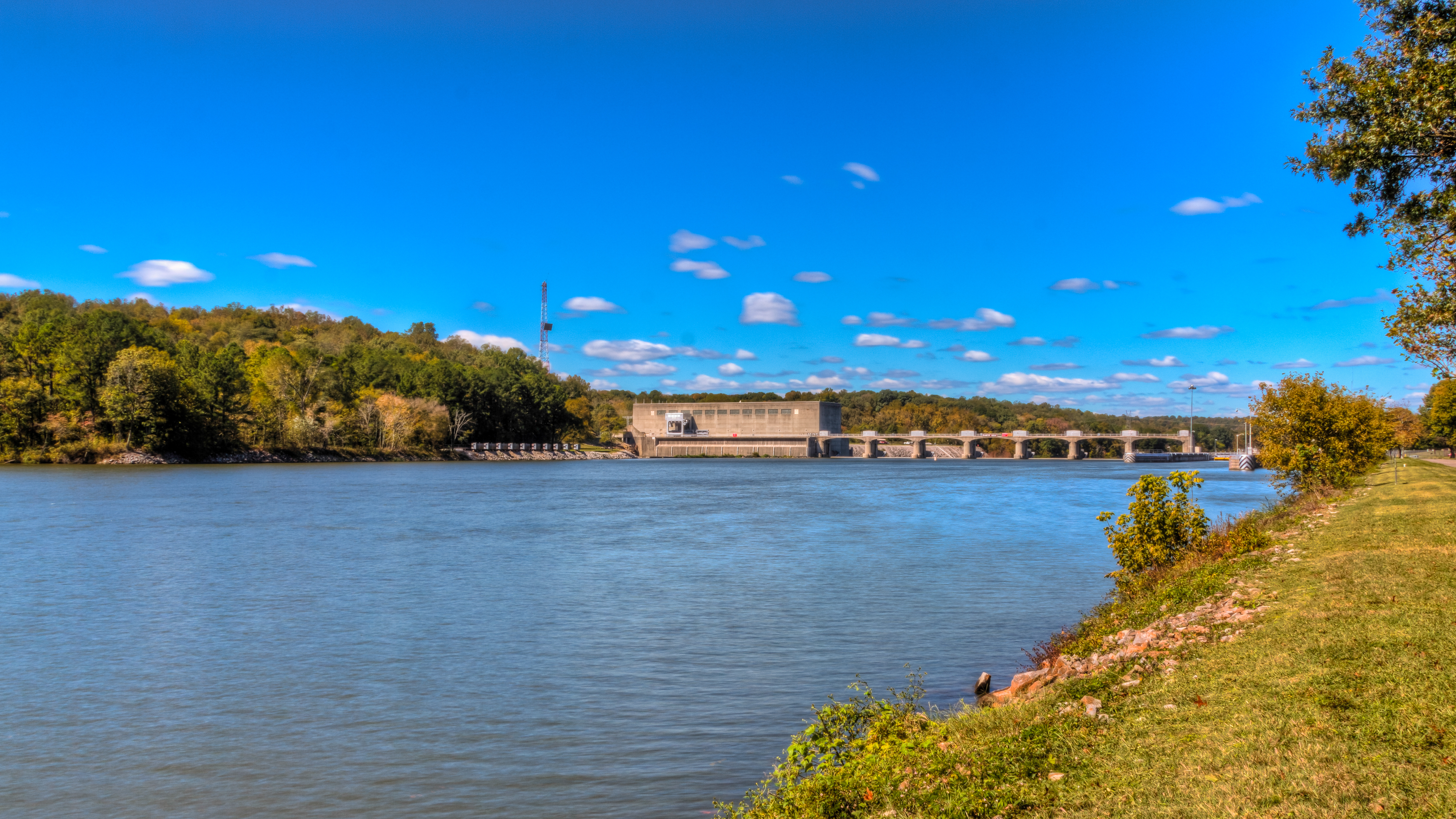
Bicentennial Trail - Cheatham Dam
Bicentennial Trail
Bicentennial Trail
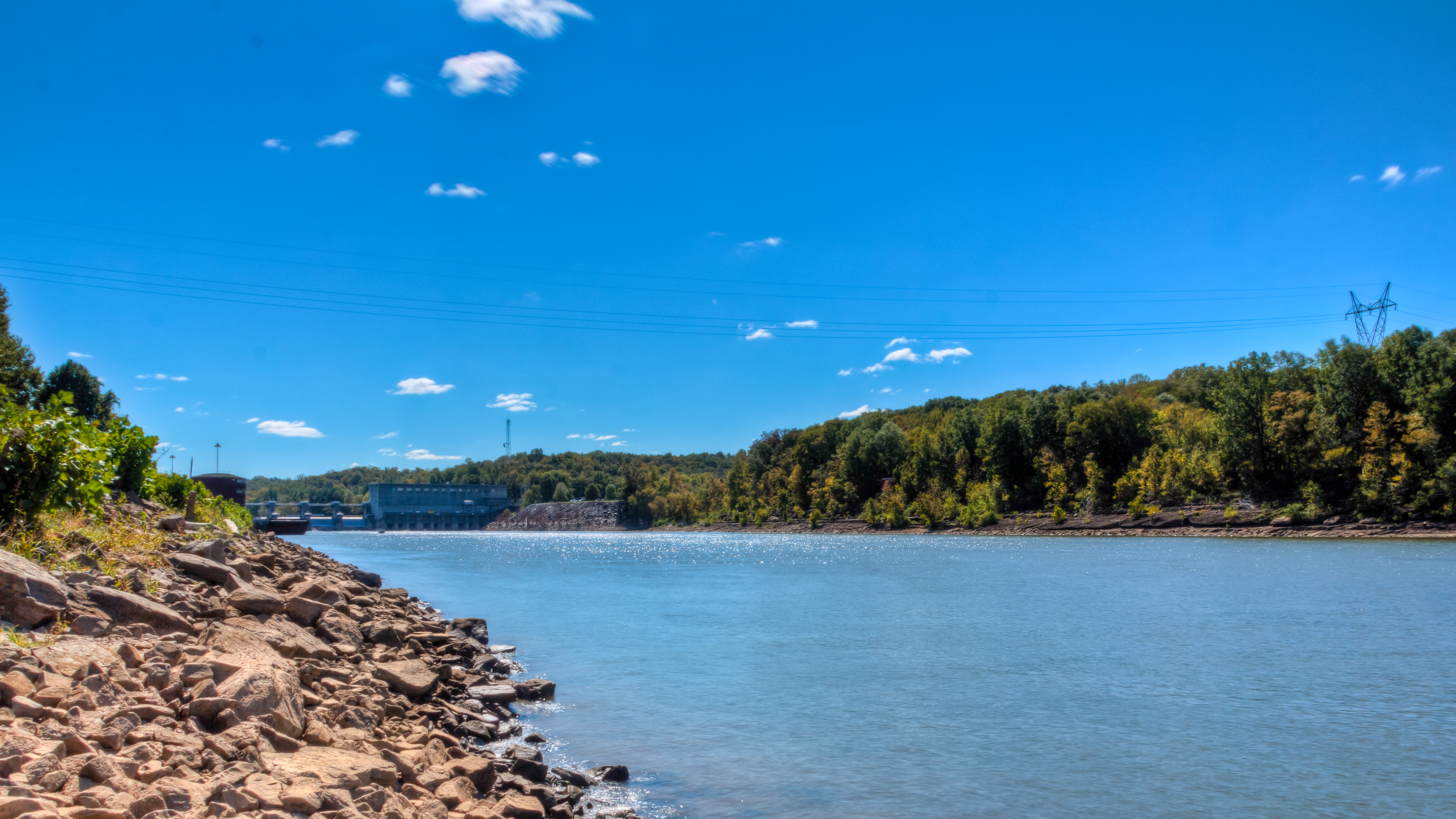
Bicentennial Trail
When Sparrows Gathr
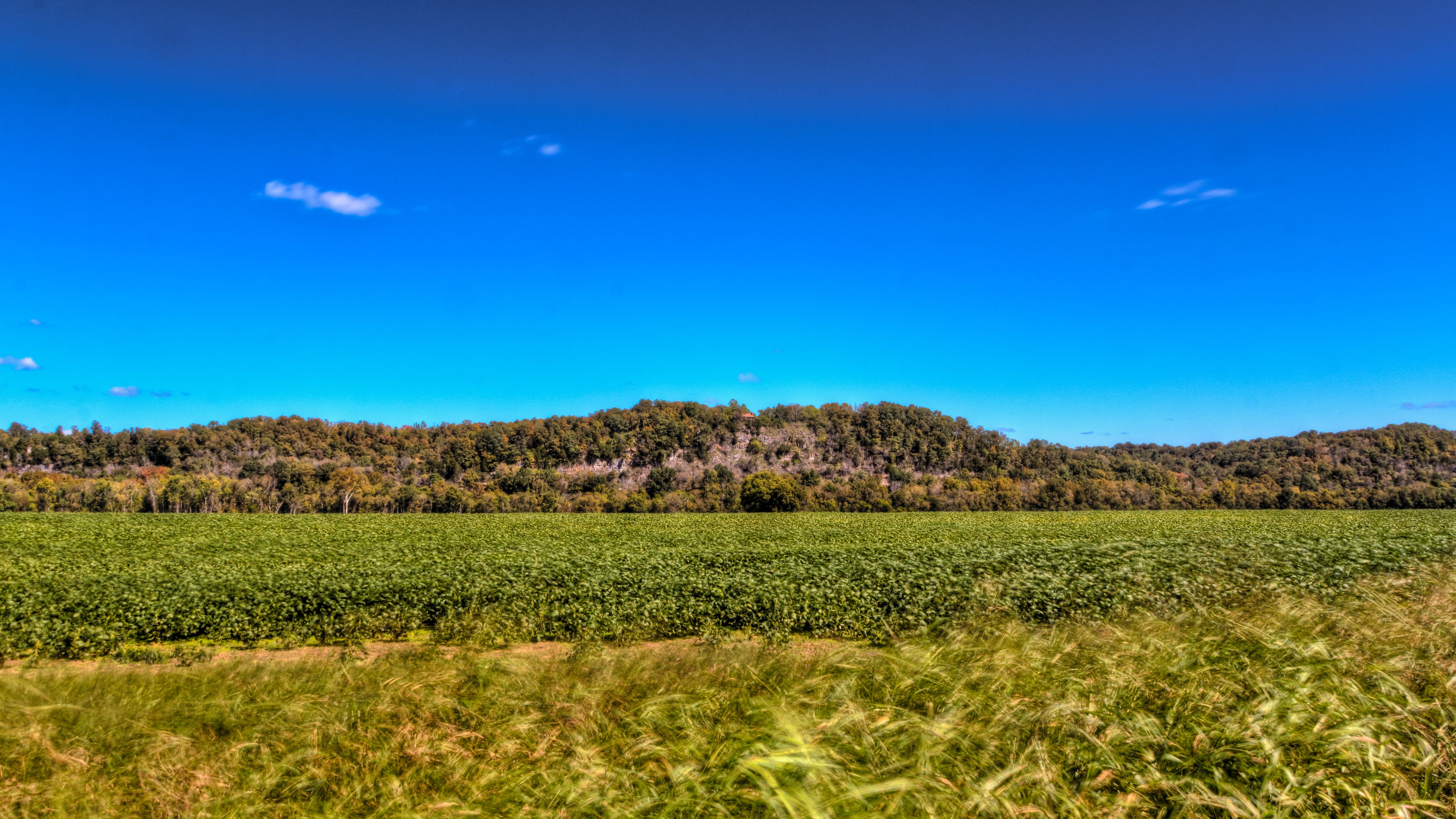
Tobacco Field
rainy day
Anothr One Bites the Dust
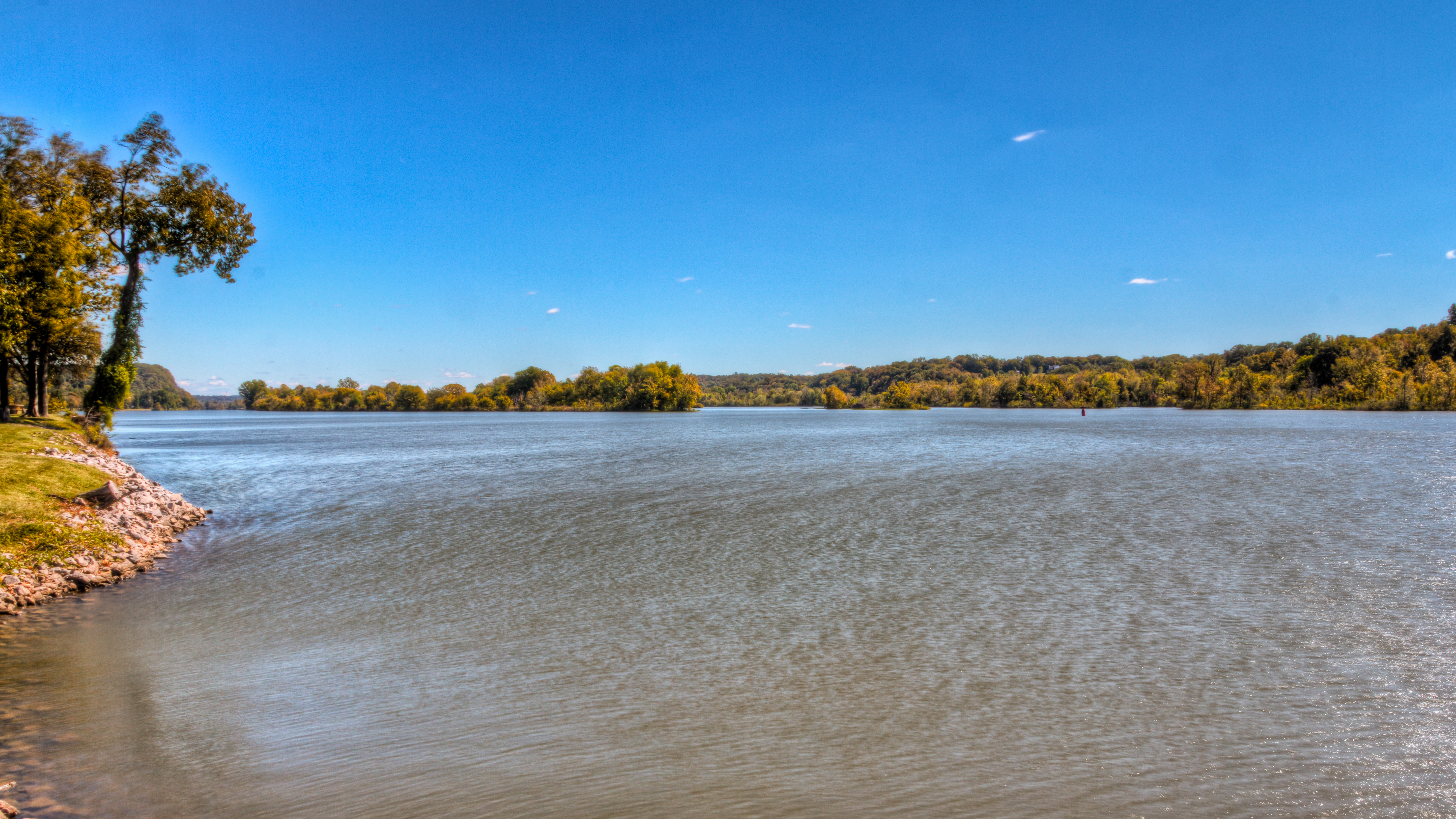
Cumberland River/Cheatham Lake TN
Topographic Map of Stayton Rd, Cumberland Furnace, TN, USA
Find elevation by address:

Places near Stayton Rd, Cumberland Furnace, TN, USA:
Cumberland Furnace
1044 Old State Hwy 48
1226 Brummit Rd
Foster Rd, Cumberland Furnace, TN, USA
Greenwood Rd, Charlotte, TN, USA
144 Indian Creek Rd
Rock Springs Rd, Charlotte, TN, USA
Old Hwy 48, Cunningham, TN, USA
4015 Tn-49
Rock Springs Rd, Charlotte, TN, USA
1640 Southside Rd
Southside
Vanleer
Slayden
Cheatham Dam Rd, Ashland City, TN, USA
Cheatham Dam Rd, Ashland City, TN, USA
Old Metal Road
2342 Mockingbird Hill Rd
Shiloh Bridge Rd, Cumberland Furnace, TN, USA
Recent Searches:
- Elevation of 3 Nestling Wood Dr, Long Valley, NJ, USA
- Elevation of Ilungu, Tanzania
- Elevation of Yellow Springs Road, Yellow Springs Rd, Chester Springs, PA, USA
- Elevation of Rēzekne Municipality, Latvia
- Elevation of Plikpūrmaļi, Vērēmi Parish, Rēzekne Municipality, LV-, Latvia
- Elevation of 2 Henschke Ct, Caboolture QLD, Australia
- Elevation of Redondo Ave, Long Beach, CA, USA
- Elevation of Sadovaya Ulitsa, 20, Rezh, Sverdlovskaya oblast', Russia
- Elevation of Ulitsa Kalinina, 79, Rezh, Sverdlovskaya oblast', Russia
- Elevation of 72-31 Metropolitan Ave, Middle Village, NY, USA