Elevation of Indian Creek Rd, Cumberland Furnace, TN, USA
Location: United States > Tennessee > Montgomery County >
Longitude: -87.375547
Latitude: 36.327288
Elevation: 158m / 518feet
Barometric Pressure: 99KPa
Elevation Map:
Satellite Map:
Related Photos:

The Sinks
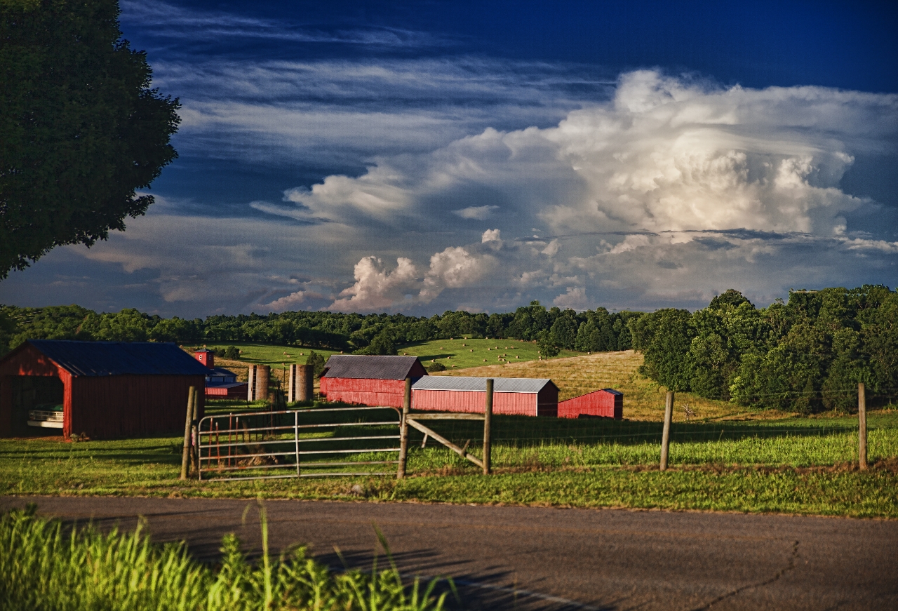
Century Farm

At The Pumpkin Patch
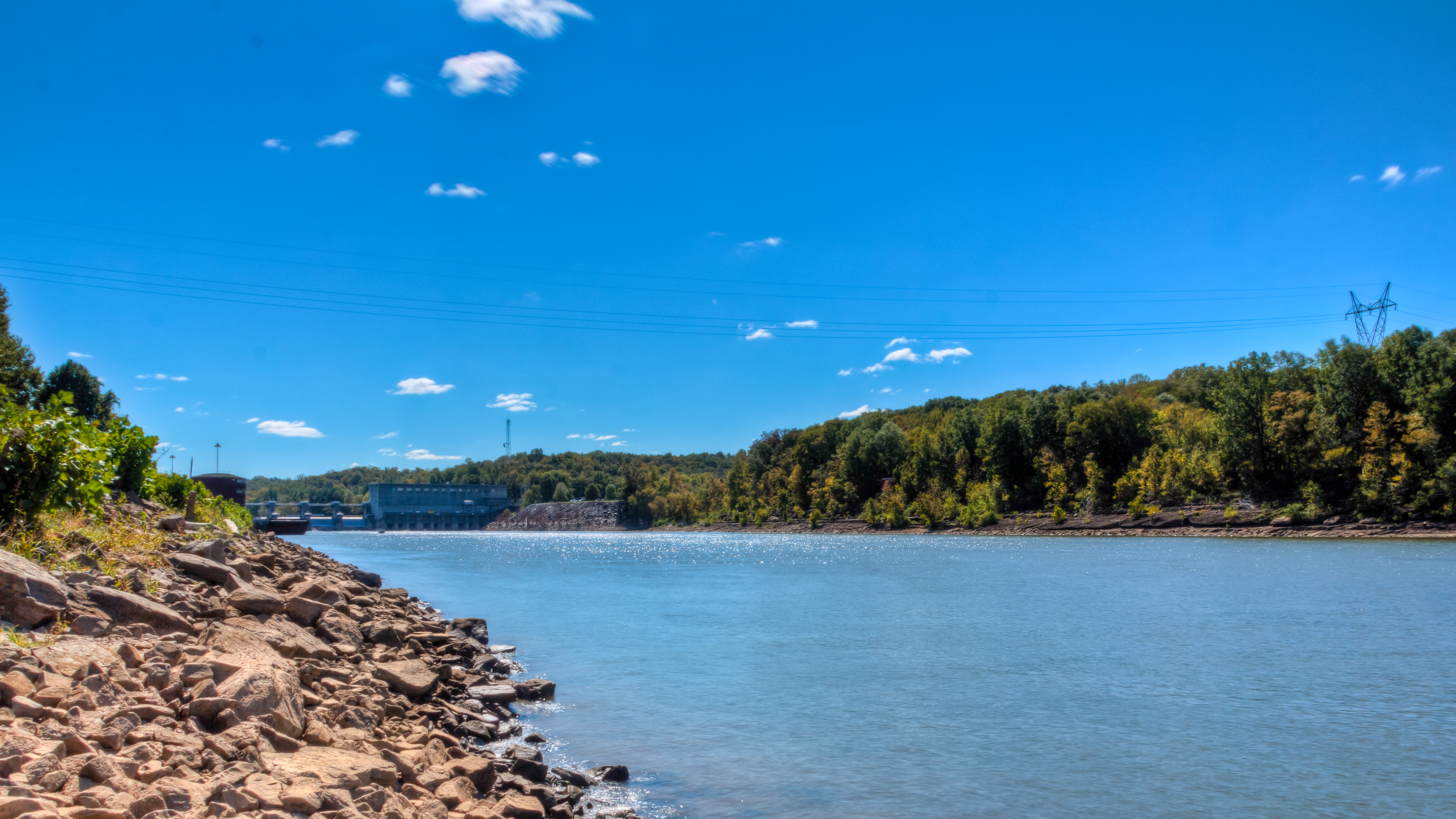
Bicentennial Trail - Cheatham Dam
Bicentennial Trail

IMG_0184-1

Bicentennial Trail
Bicentennial Trail

Art of E.T. Wickham: The legs of Sitting Bull & feet of Piomingo
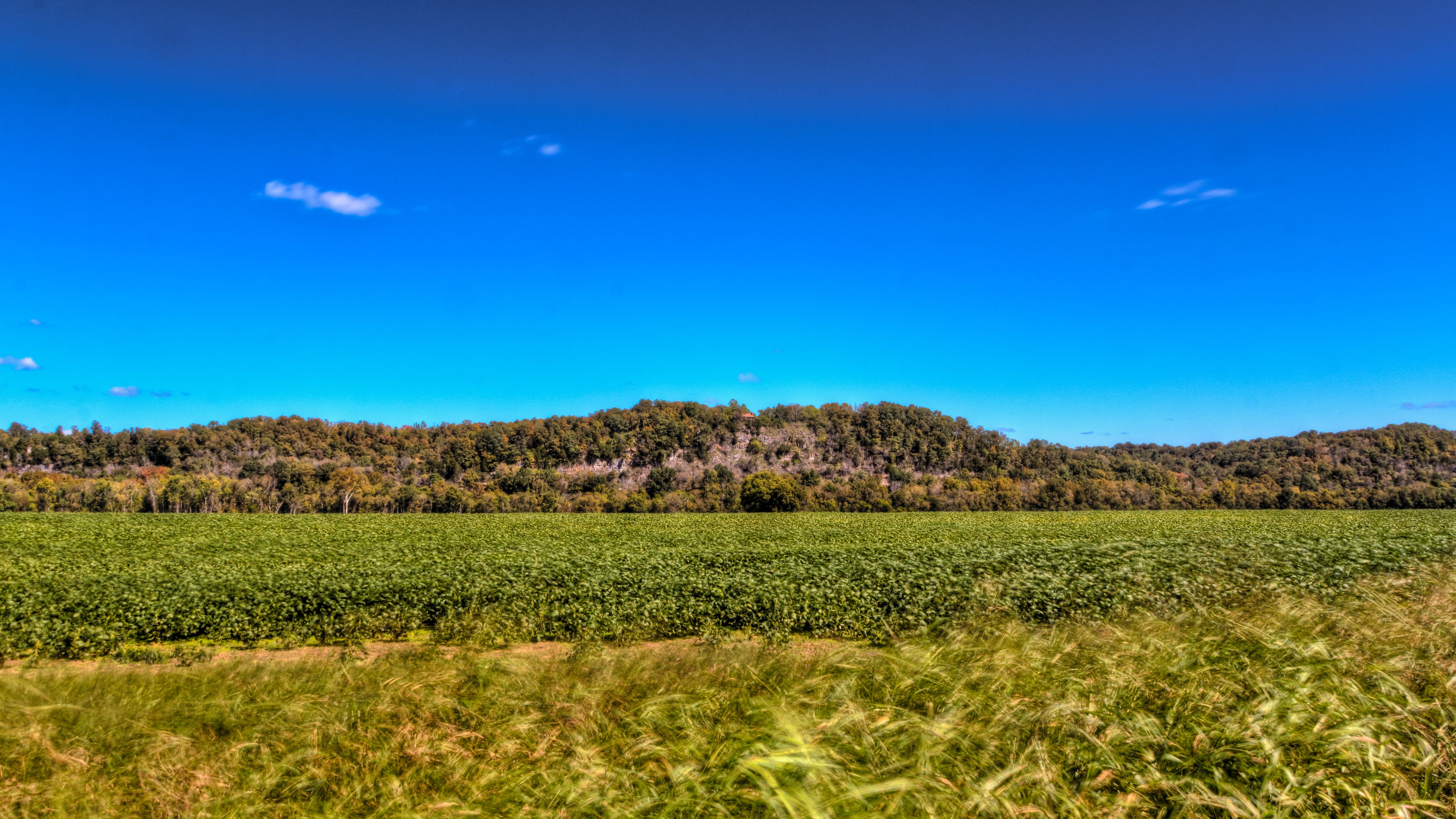
Tobacco Field
rainy day
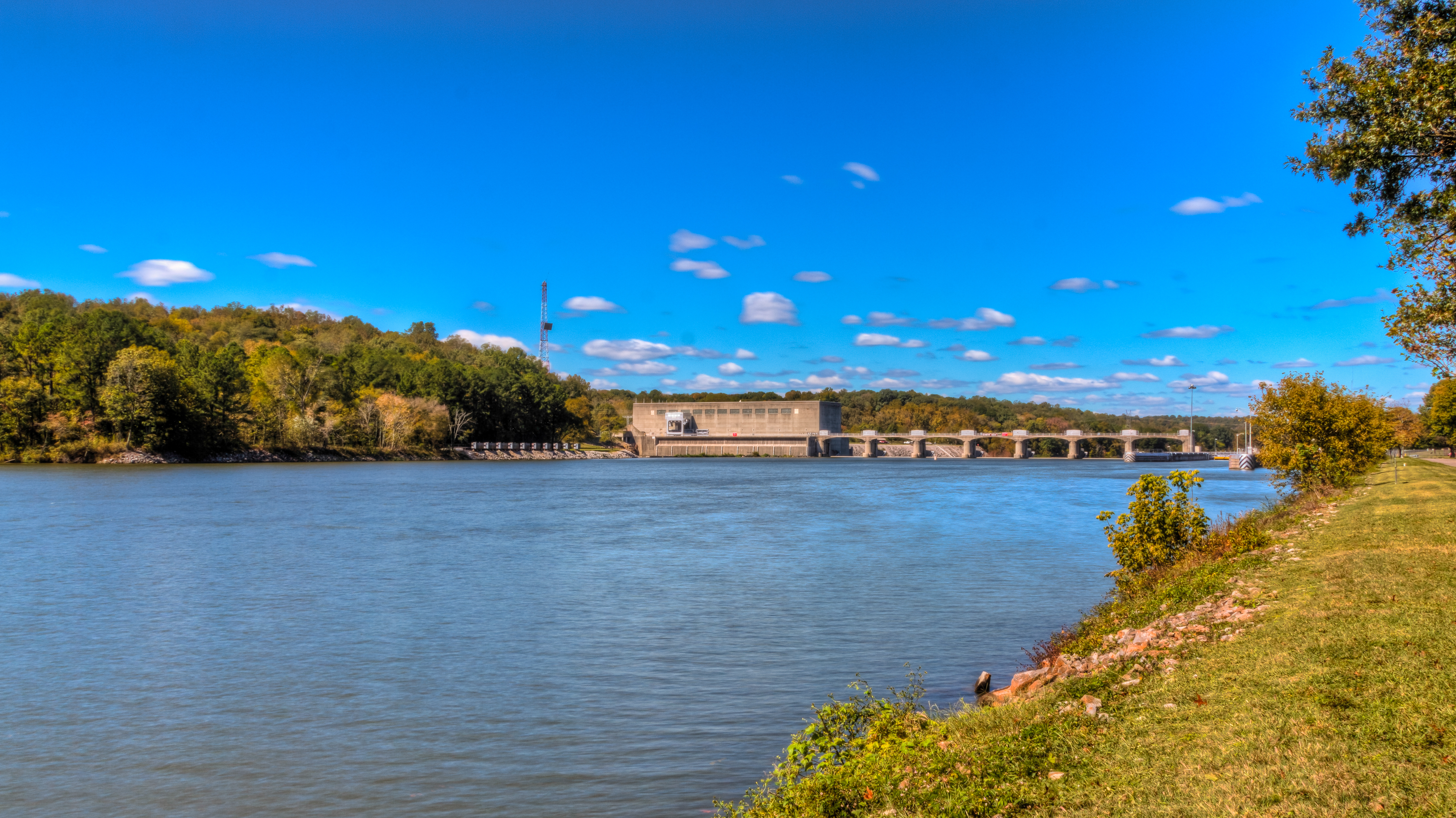
Cumberland River/Cheatham Lake TN
Topographic Map of Indian Creek Rd, Cumberland Furnace, TN, USA
Find elevation by address:

Places near Indian Creek Rd, Cumberland Furnace, TN, USA:
Foster Rd, Cumberland Furnace, TN, USA
Old Hwy 48, Cunningham, TN, USA
Cumberland Furnace
1044 Old State Hwy 48
1411 Stayton Rd
1640 Southside Rd
Southside
Slayden
Rock Springs Rd, Charlotte, TN, USA
Old Metal Road
Rock Springs Rd, Charlotte, TN, USA
2342 Mockingbird Hill Rd
Vanleer
4015 Tn-49
Shiloh Bridge Rd, Cumberland Furnace, TN, USA
1226 Brummit Rd
Greenwood Rd, Charlotte, TN, USA
Cheatham Dam Rd, Ashland City, TN, USA
Cheatham Dam Rd, Ashland City, TN, USA
Recent Searches:
- Elevation of Elwyn Dr, Roanoke Rapids, NC, USA
- Elevation of Congressional Dr, Stevensville, MD, USA
- Elevation of Bellview Rd, McLean, VA, USA
- Elevation of Stage Island Rd, Chatham, MA, USA
- Elevation of Shibuya Scramble Crossing, 21 Udagawacho, Shibuya City, Tokyo -, Japan
- Elevation of Jadagoniai, Kaunas District Municipality, Lithuania
- Elevation of Pagonija rock, Kranto 7-oji g. 8"N, Kaunas, Lithuania
- Elevation of Co Rd 87, Jamestown, CO, USA
- Elevation of Tenjo, Cundinamarca, Colombia
- Elevation of Côte-des-Neiges, Montreal, QC H4A 3J6, Canada