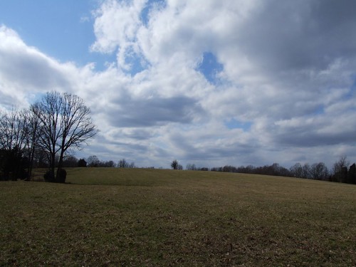
Elevation of Greenwood Rd, Charlotte, TN, USA
Location: United States > Tennessee > Dickson County > Charlotte >
Longitude: -87.278741
Latitude: 36.2187135
Elevation: 225m / 738feet
Barometric Pressure: 99KPa
Elevation Map:
Satellite Map:
Related Photos:

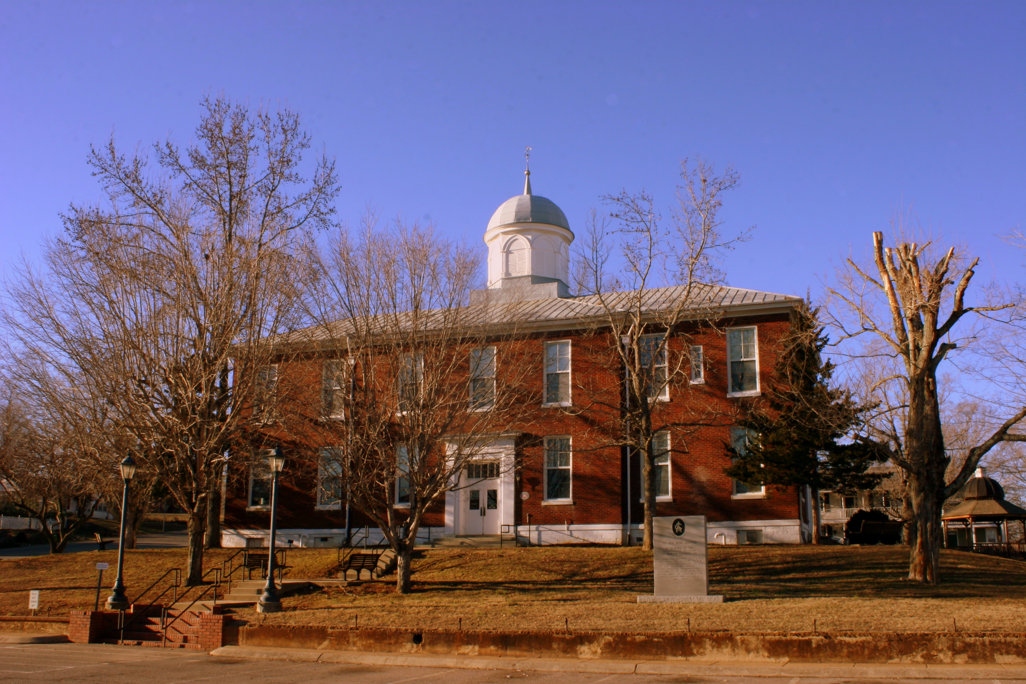
Dickson County, TN Courthouse - Charlotte, TN

Montgomery Bell Tunnel, Narrows of the Harpeth

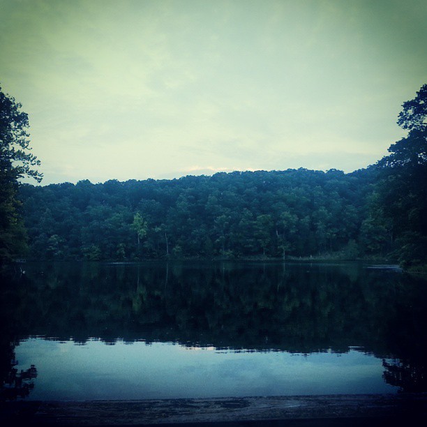
A view outside from the guy stuck inside. This is the 'lake' right outside my office window.
Dickson Co. Courthouse (alt view) - Charlotte, TN

the view from down here

Country View store, Charlotte, Tennessee
future home
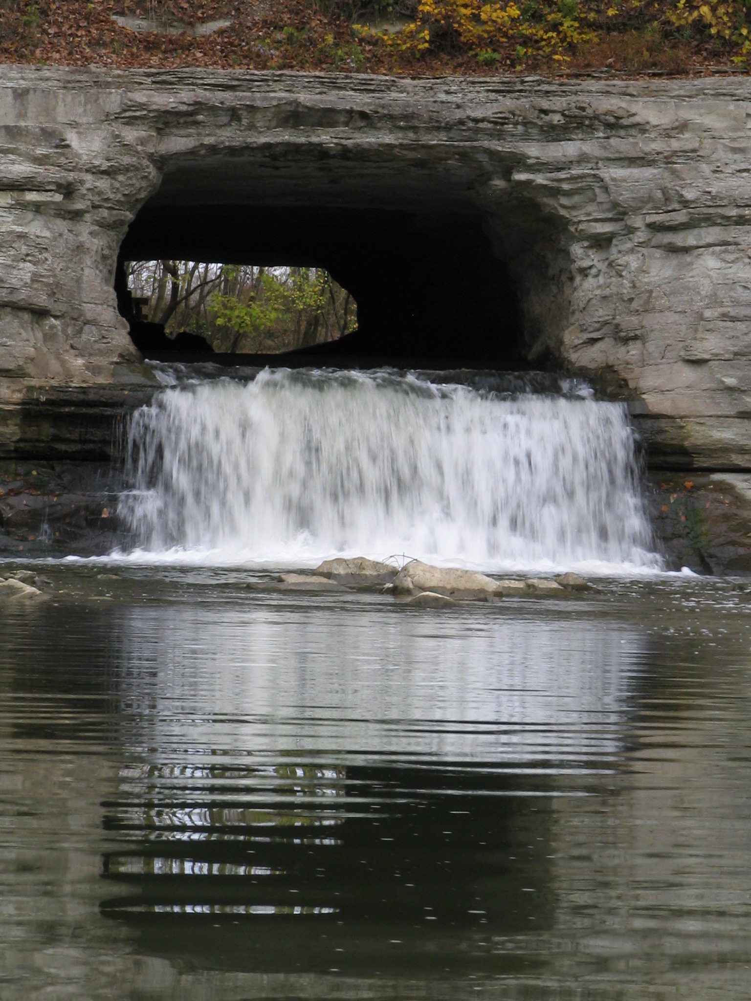
closeup view of Montgomery Bell Tunnel
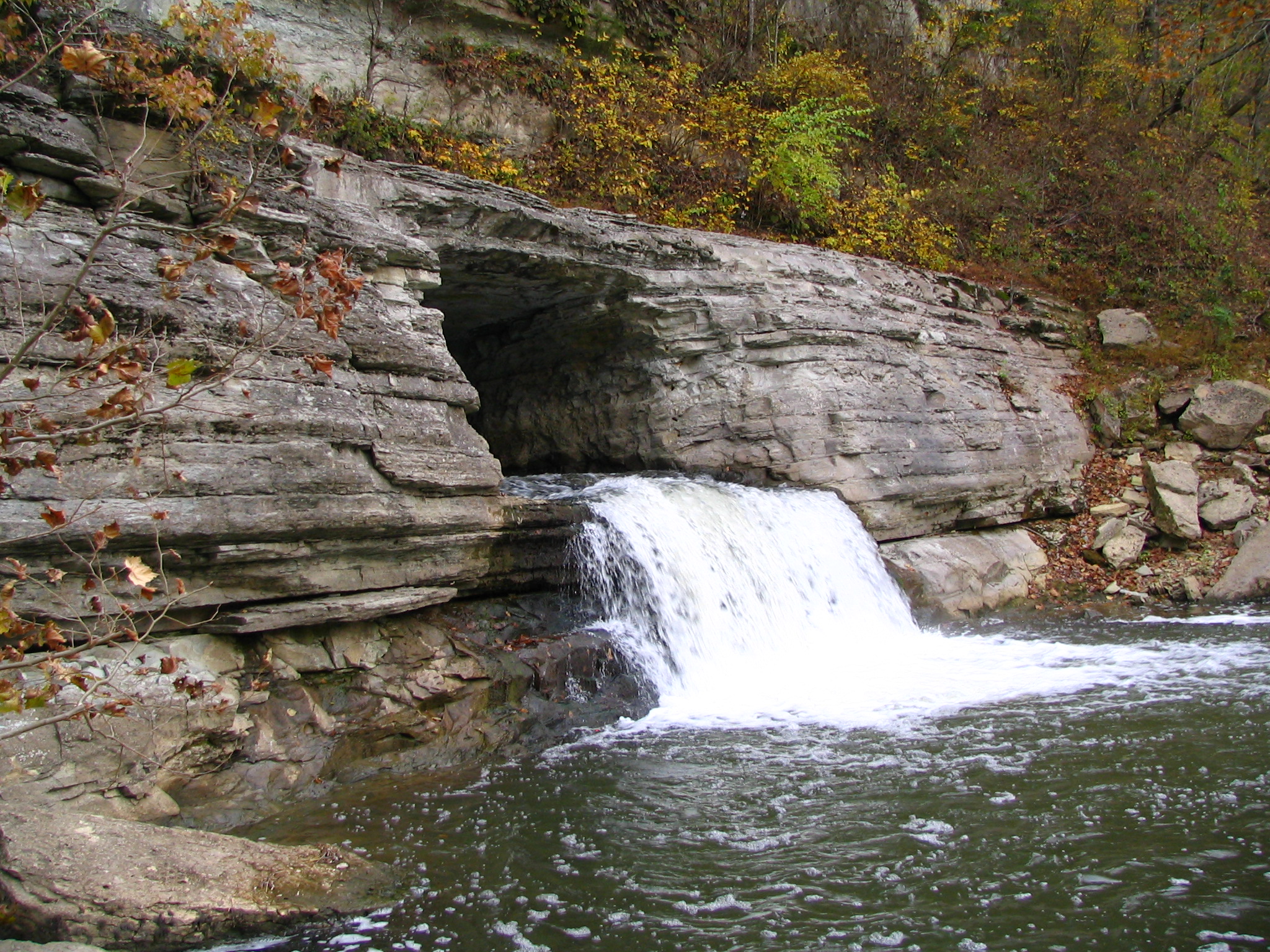
Alternate view of Montgomery Bell Tunnel
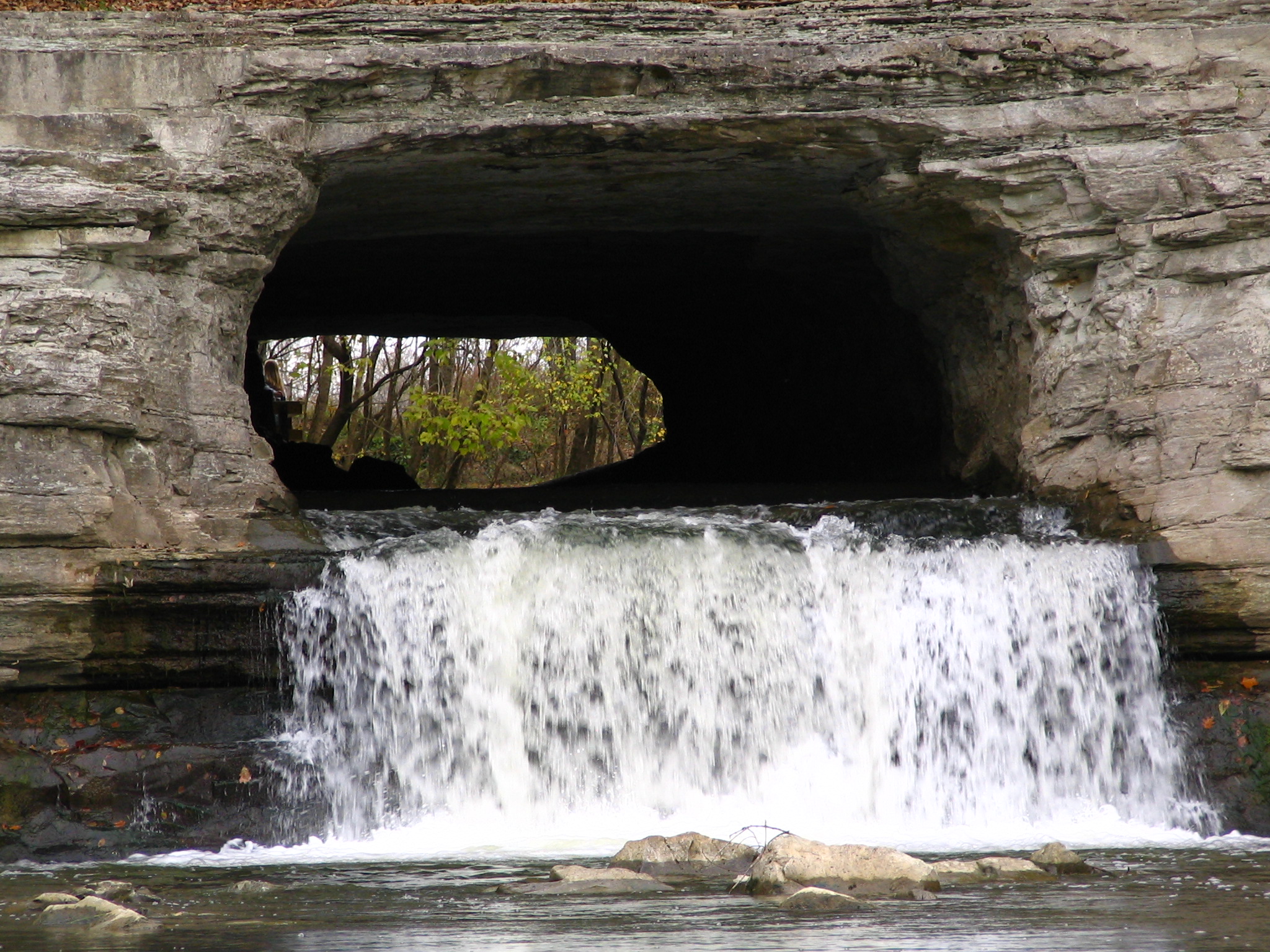
Extreme Closeup view of Montgomery Bell Tunnel
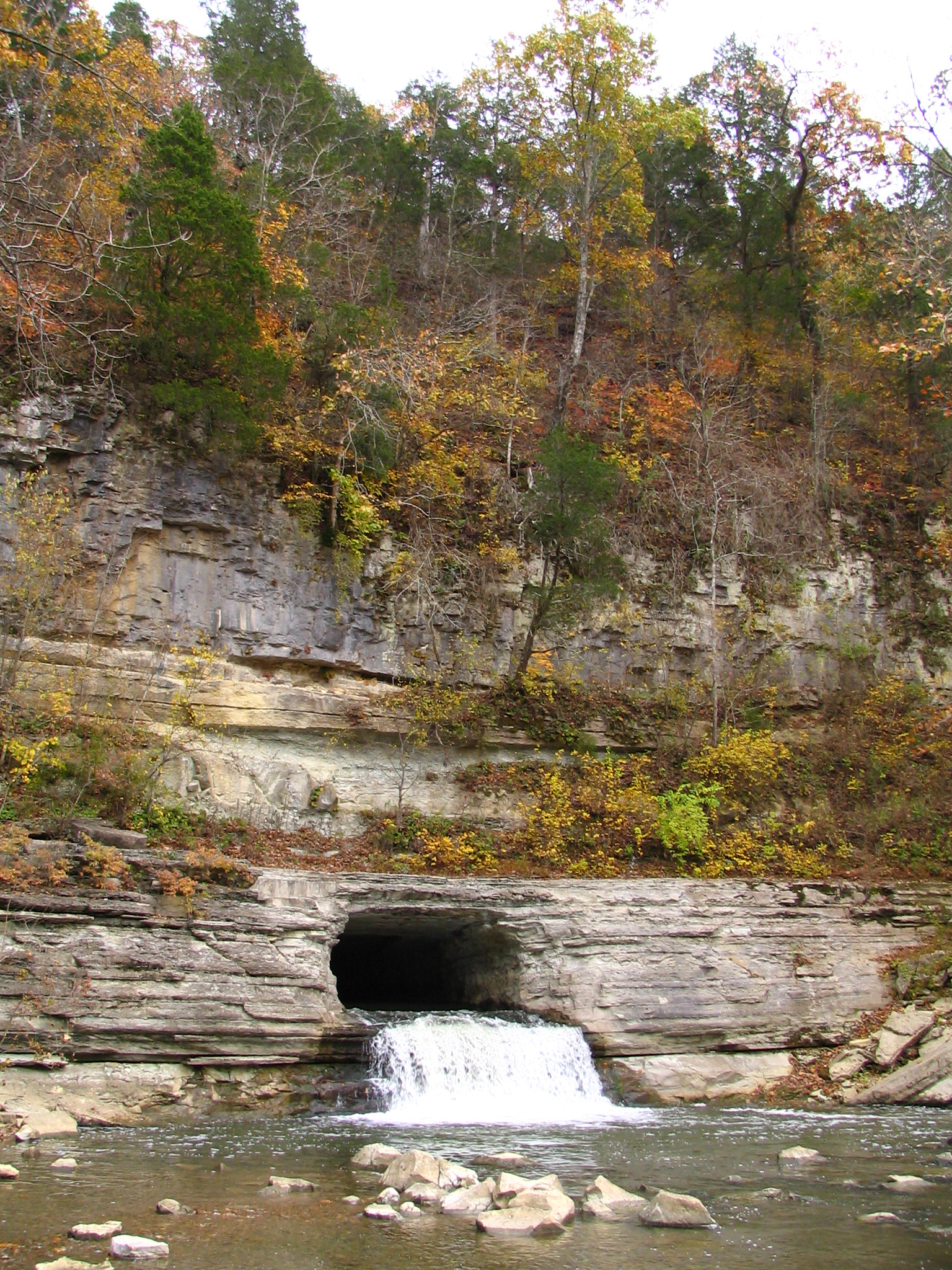
Alternate view of Montgomery Bell Tunnel
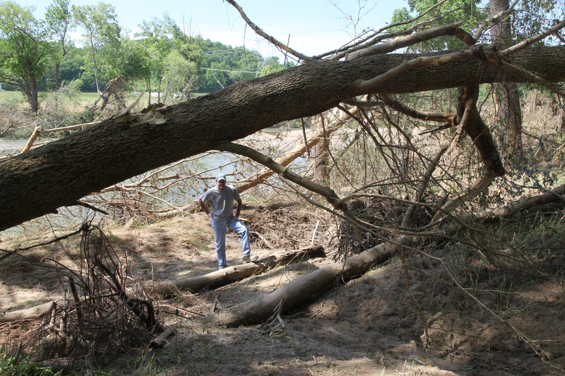
Viewing the Damage
Bell Cemetery - 1

The view ahead

Dickson County Confederate Monument, rear view
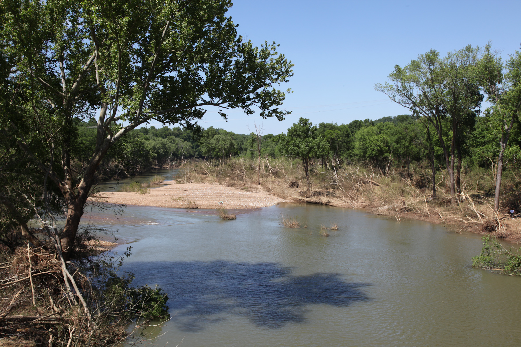
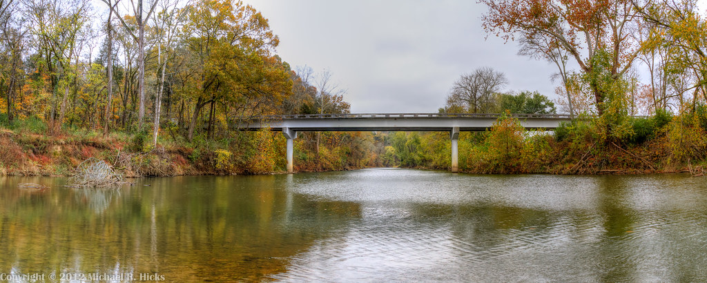
View from Harris-Street Bridge
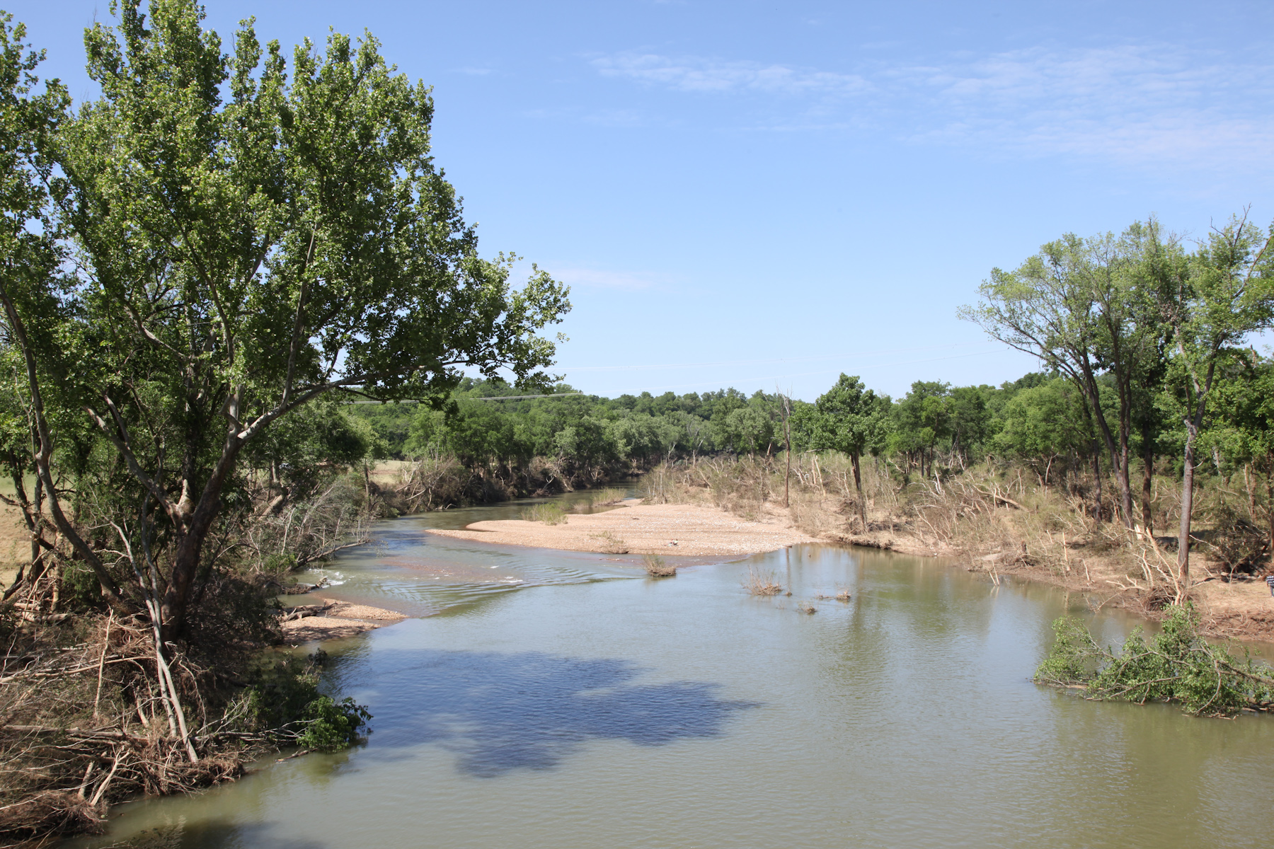
View from Harris-Street Bridge
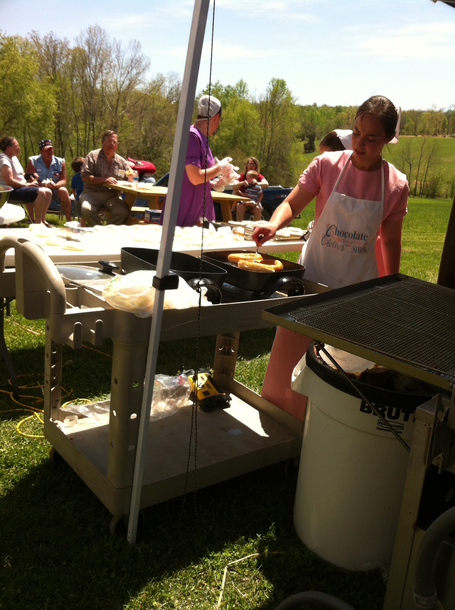
donut cooking, Country View Market
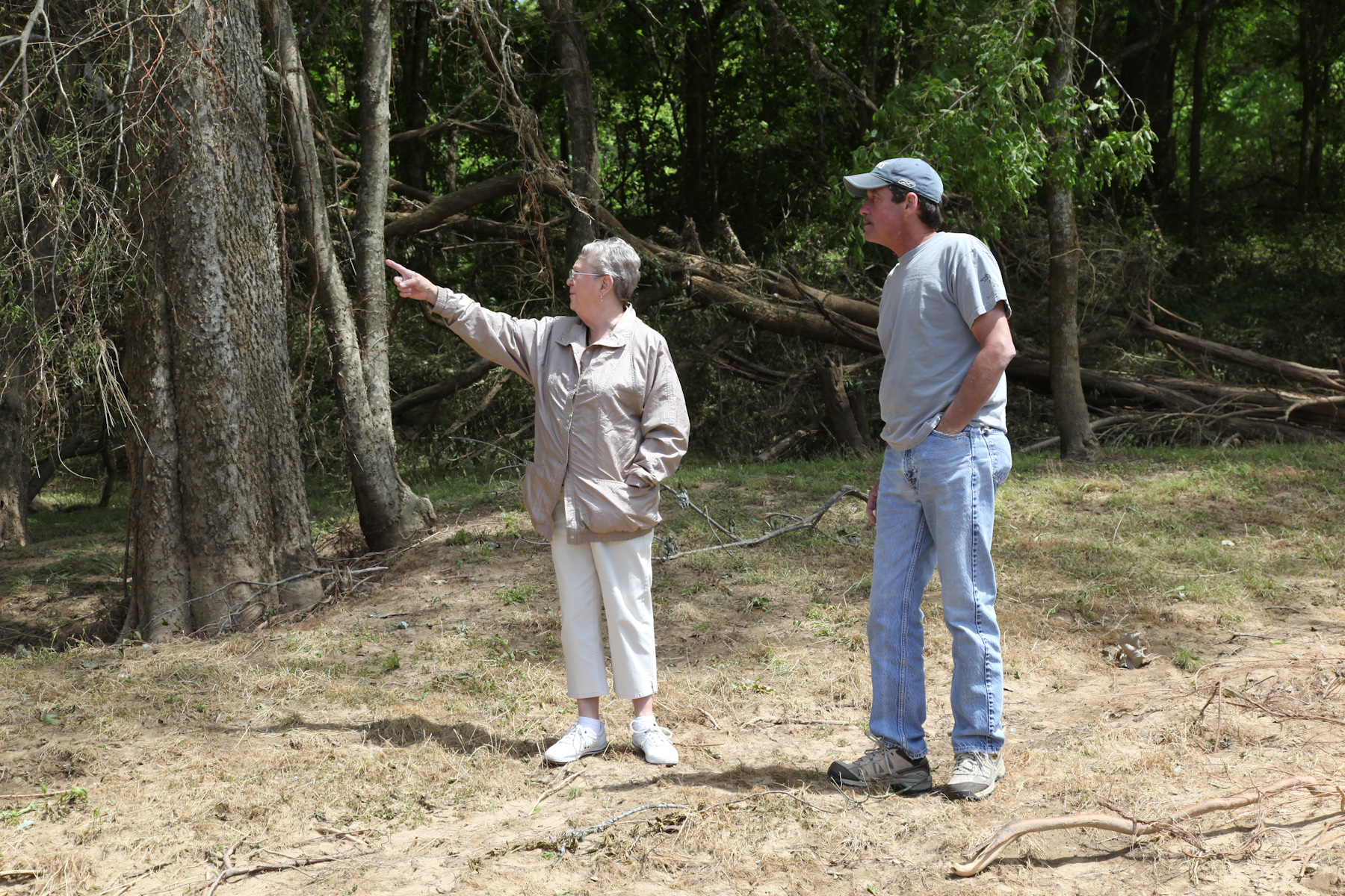
Viewing the Damage

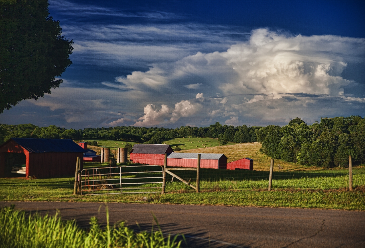
A View from the Porch
View from Montgomery Bell State Park Hotel
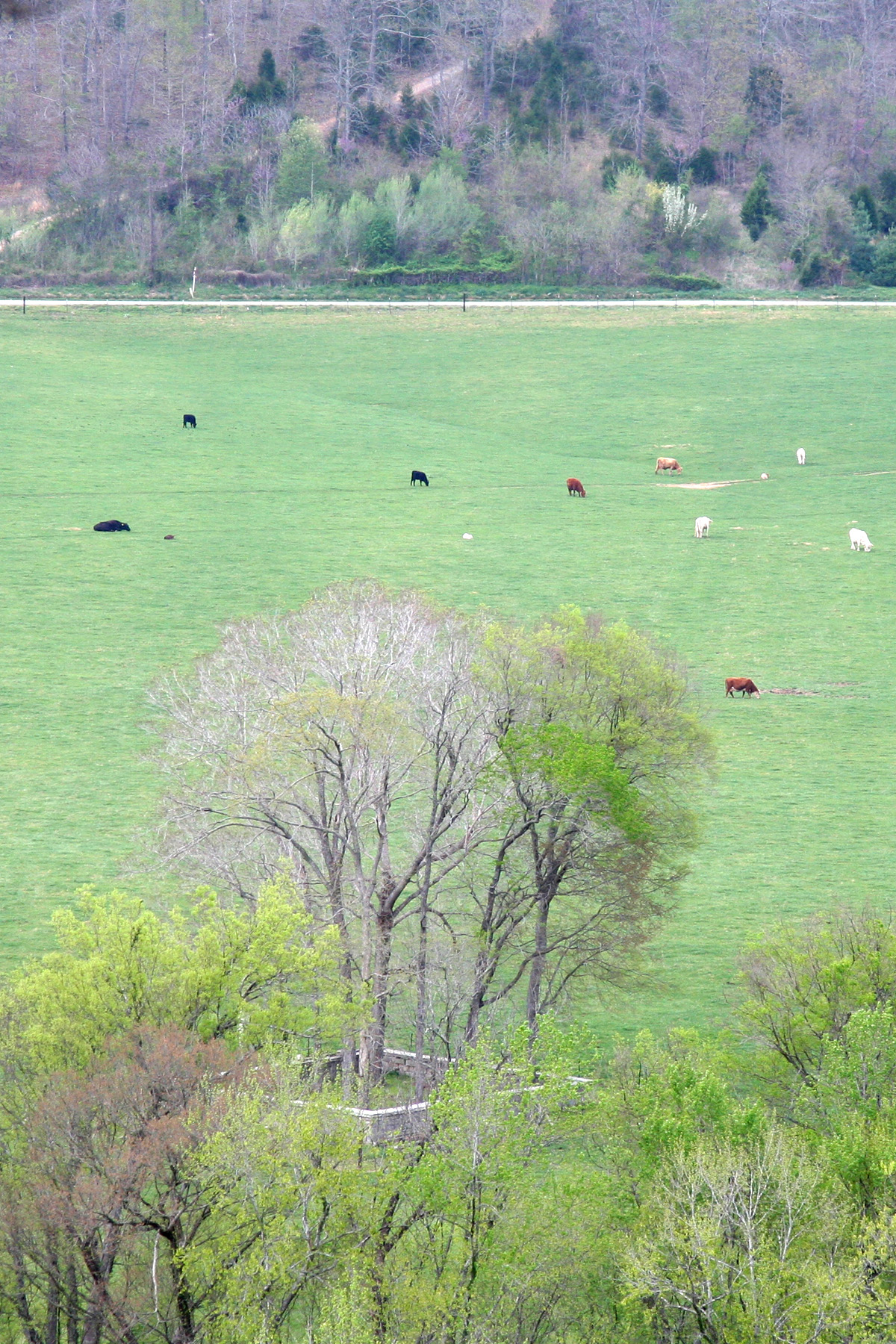
Century Farm
Beyond the Dome
Sunshine on the water

Slowly, Spring Comes.

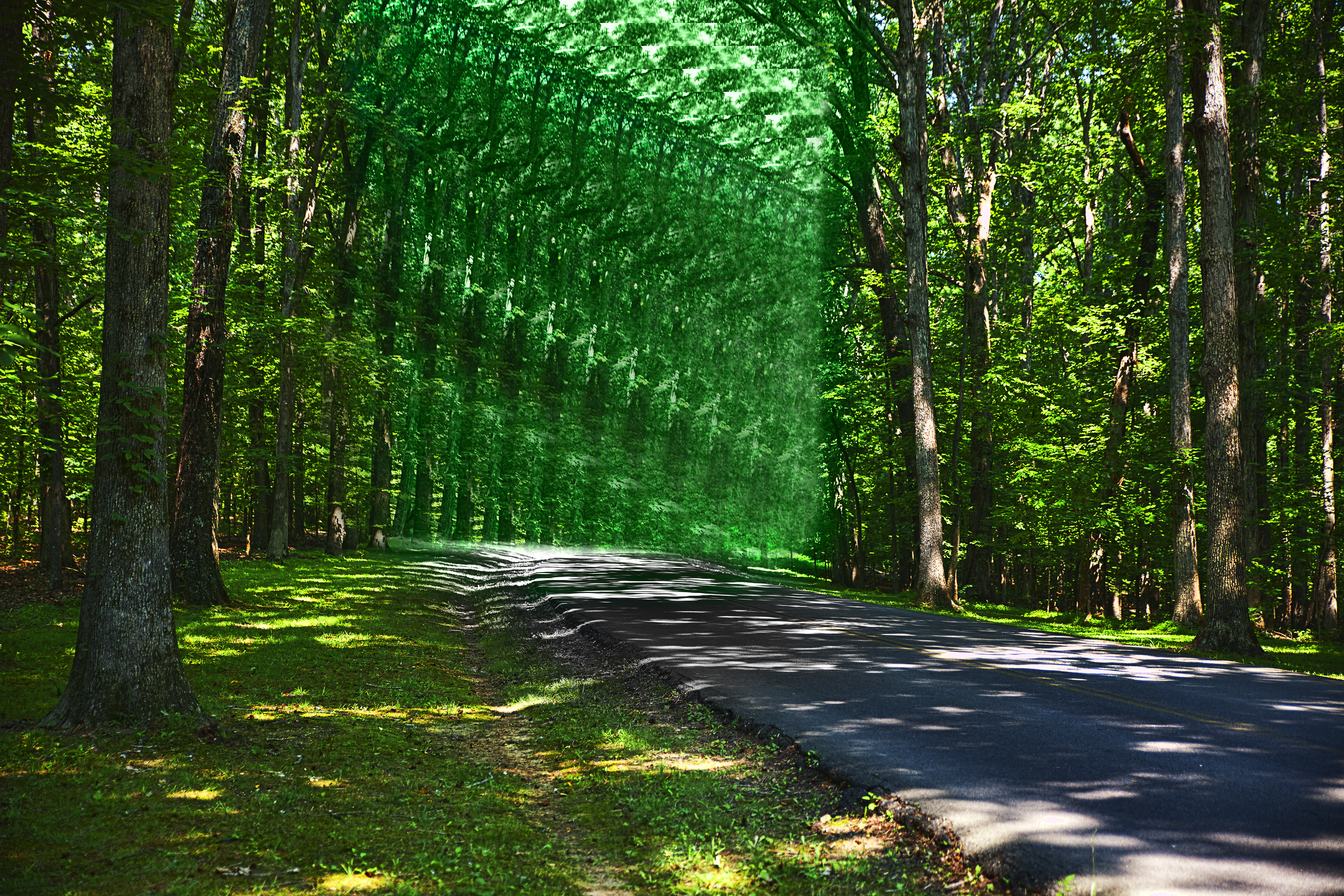
Into the light
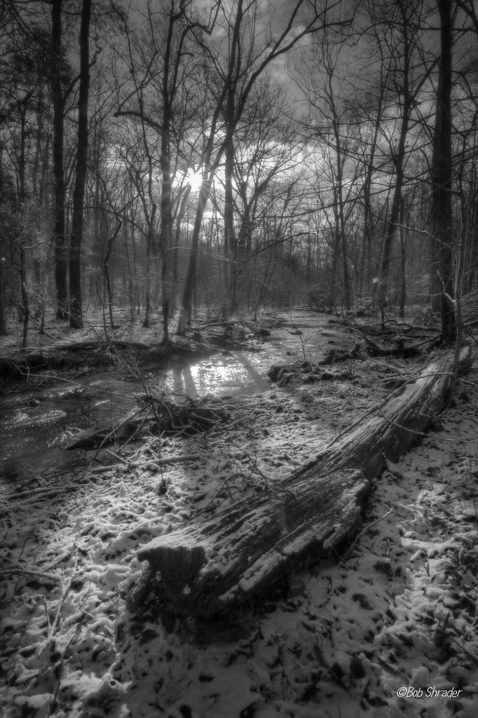
Cold Dust
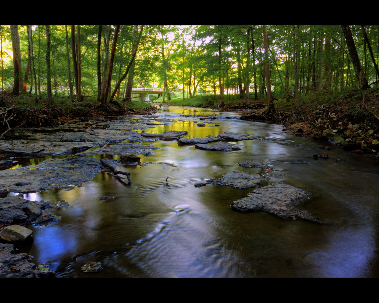
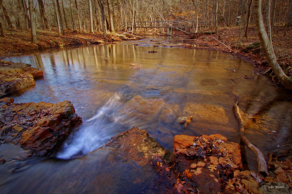
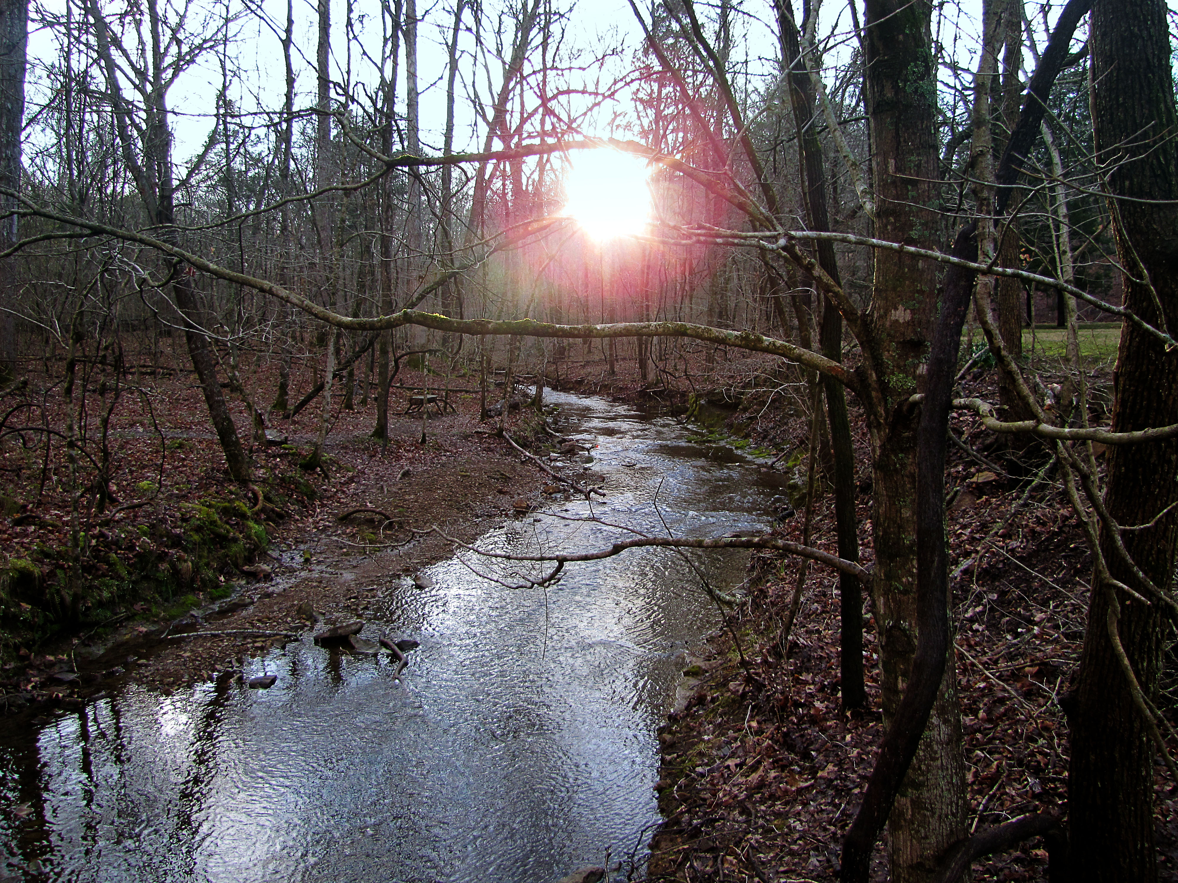
Leatherwood Creek
Inlayd Stone
Cedar Hill Road
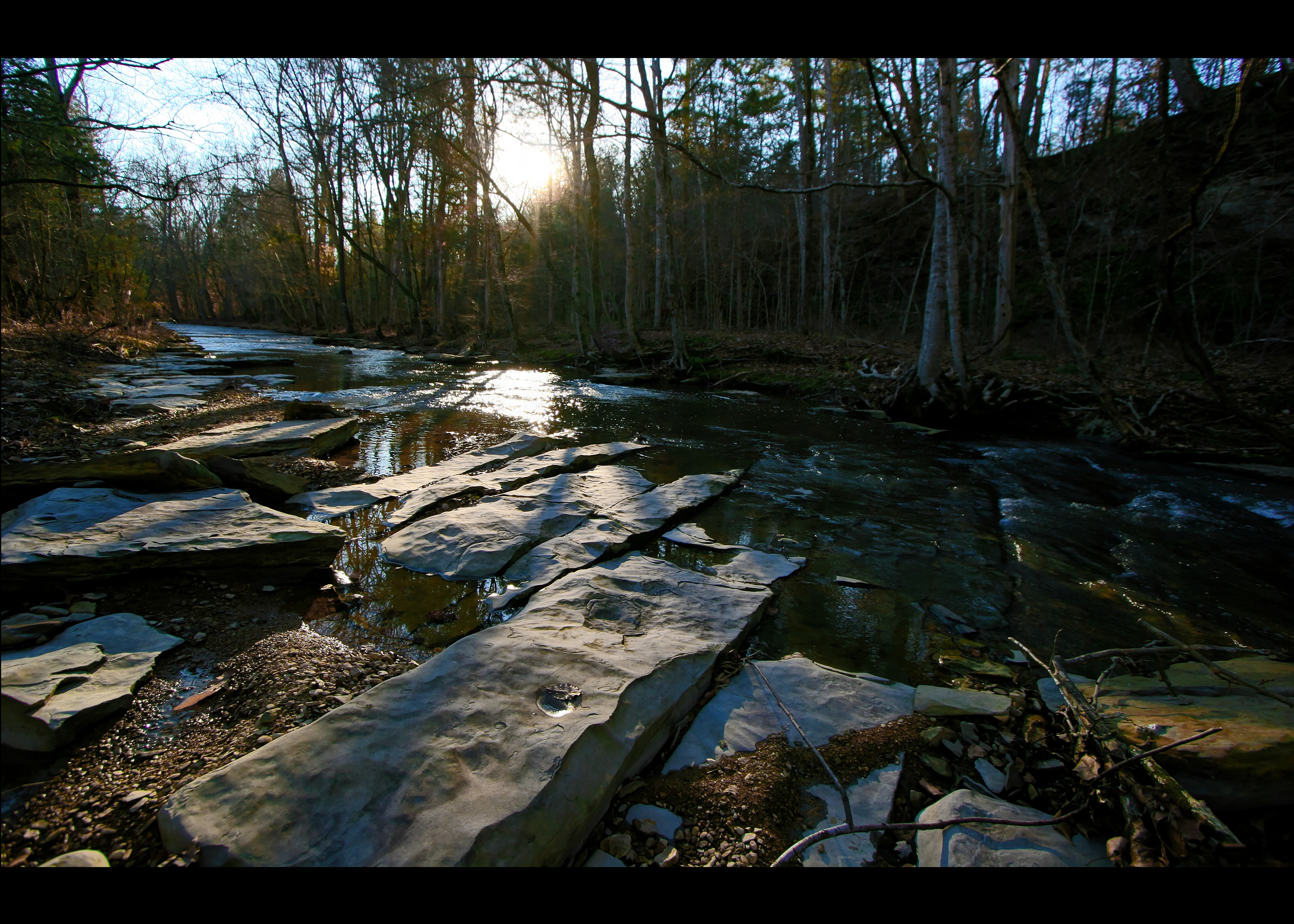
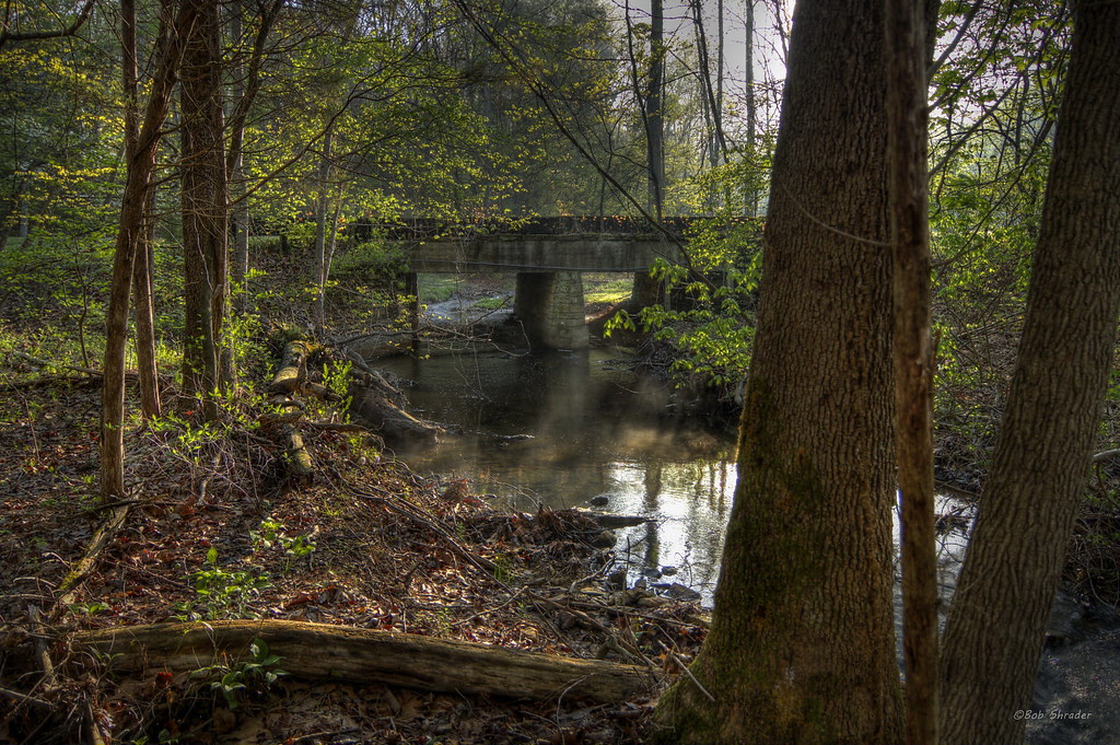
Calm Water Under The Bridge

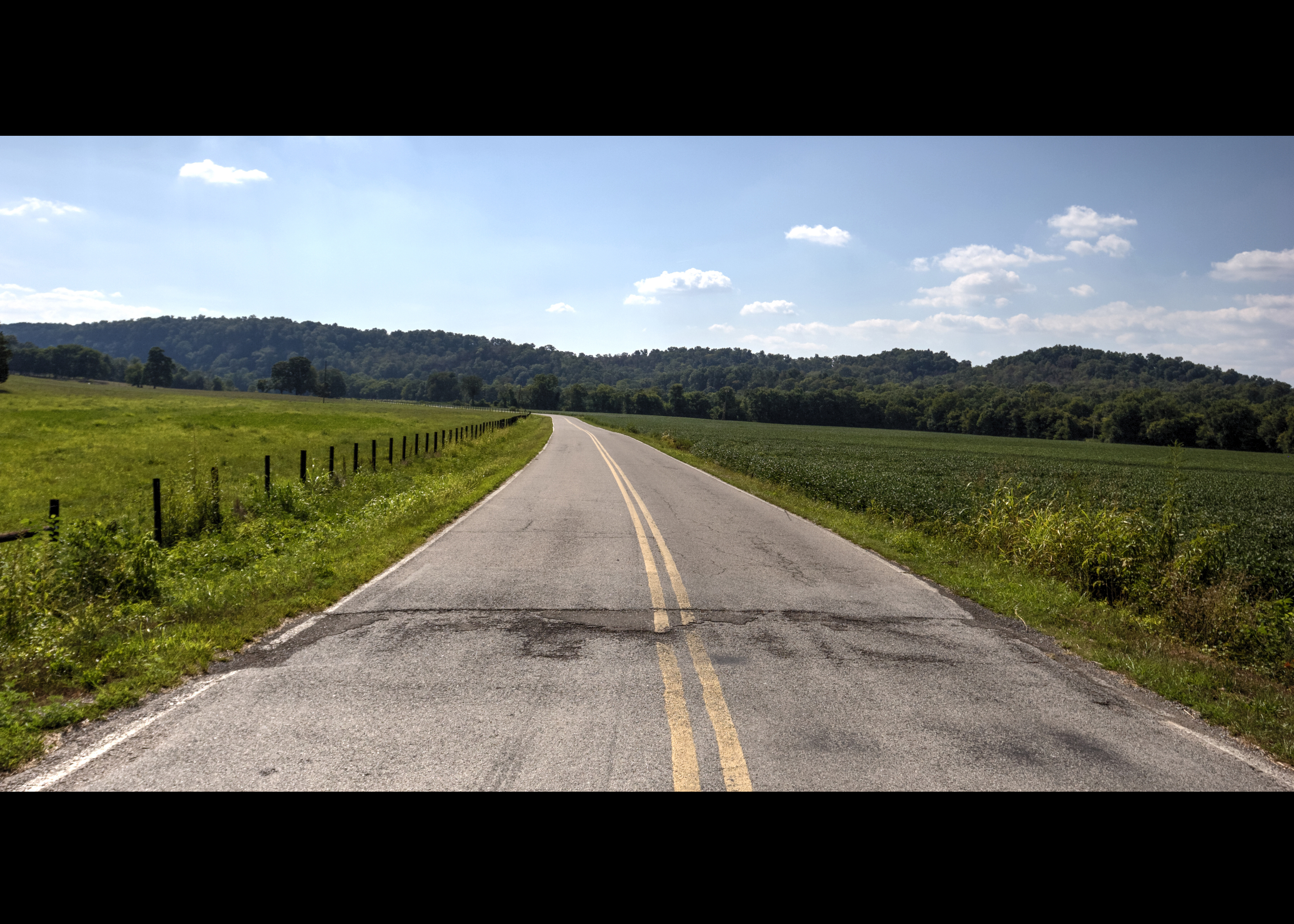
The Road
Montgomery Bell State Park

2008-08-16 16:37:35 -0500
The Old Crossing

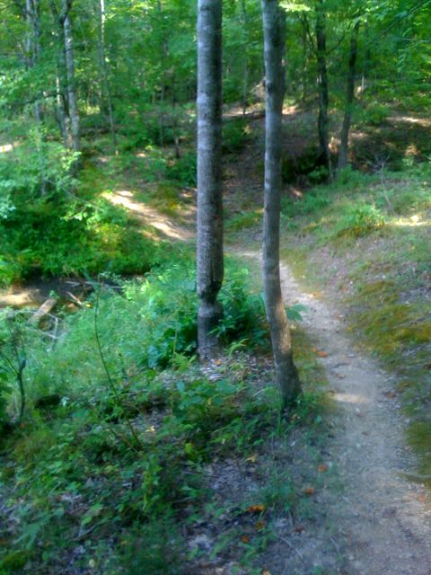
Along a Backroad
Harpeth River State Park - Harris Street Bridge Canoe Access
Beautiful creek
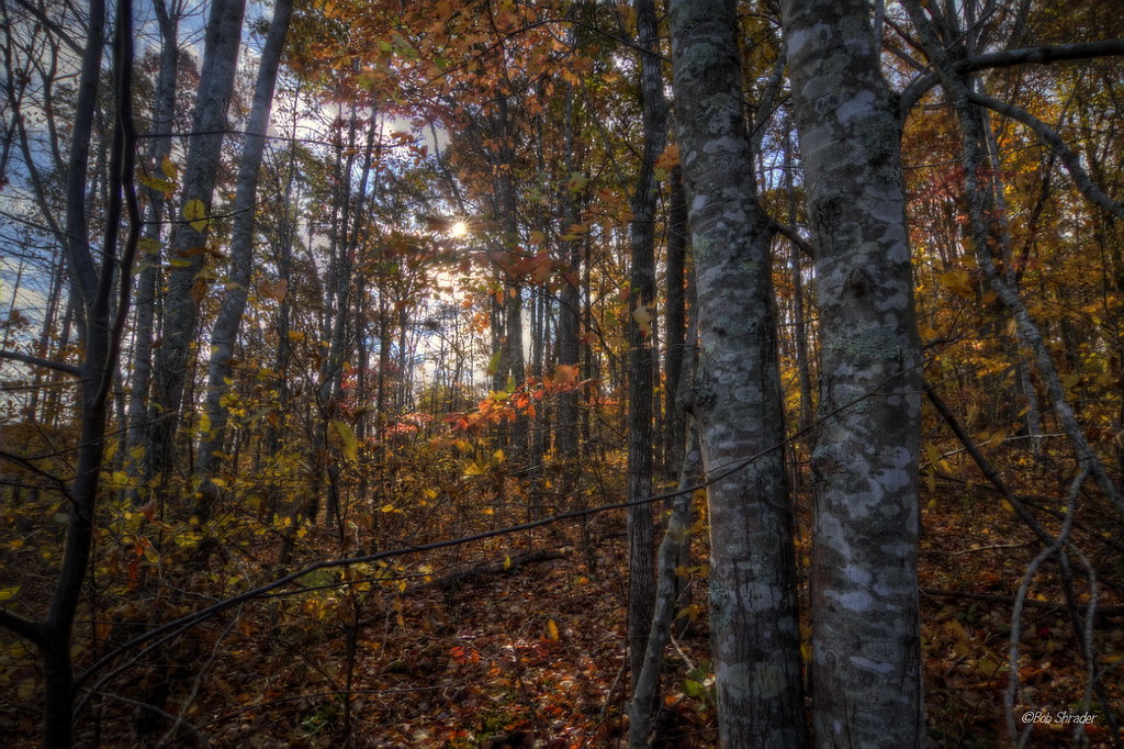
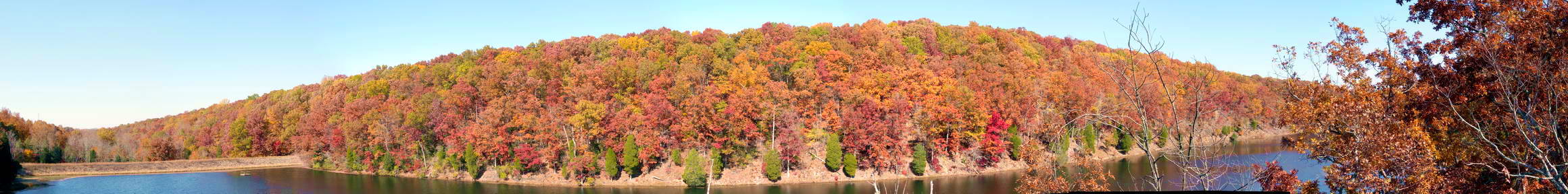
Autumn Explosion
Beaver tree

Montgomery Bell State Park
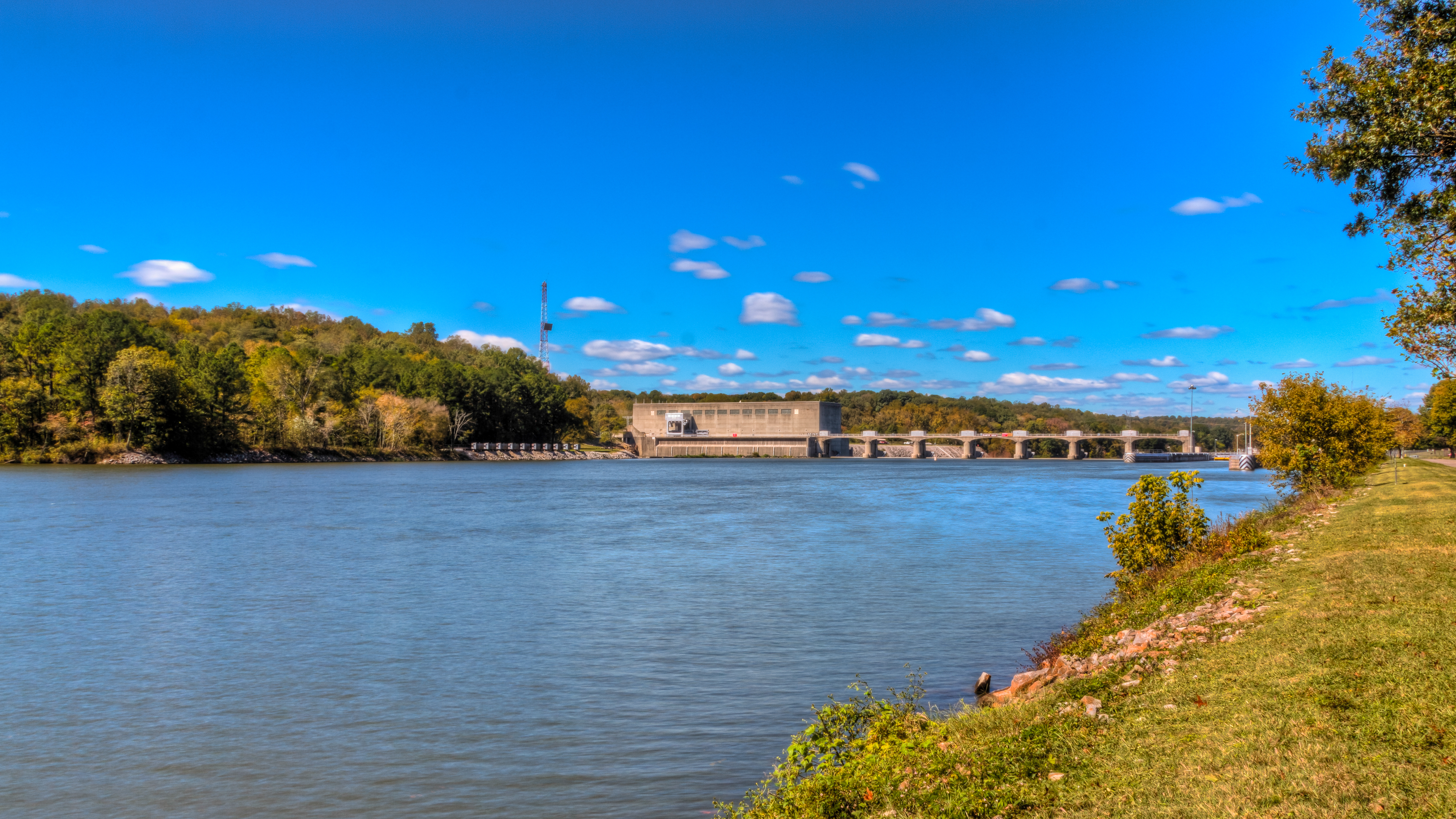
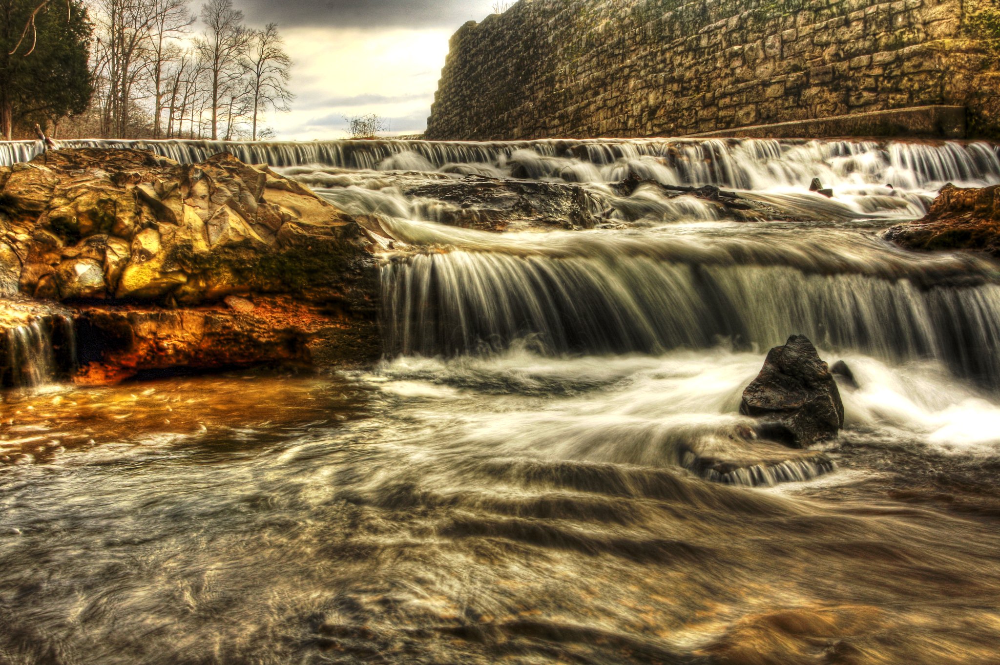
Bicentennial Trail - Cheatham Dam
Topographic Map of Greenwood Rd, Charlotte, TN, USA
Find elevation by address:

Places near Greenwood Rd, Charlotte, TN, USA:
1226 Brummit Rd
1411 Stayton Rd
Rock Springs Rd, Charlotte, TN, USA
1044 Old State Hwy 48
Cumberland Furnace
Rock Springs Rd, Charlotte, TN, USA
4015 Tn-49
Cheatham Dam Rd, Ashland City, TN, USA
Foster Rd, Cumberland Furnace, TN, USA
Cheatham Dam Rd, Ashland City, TN, USA
144 Indian Creek Rd
Old Hwy 48, Cunningham, TN, USA
Southside
1640 Southside Rd
Vanleer
Slayden
Old Metal Road
2342 Mockingbird Hill Rd
Shiloh Bridge Rd, Cumberland Furnace, TN, USA
Recent Searches:
- Elevation of Sattva Horizon, 4JC6+G9P, Vinayak Nagar, Kattigenahalli, Bengaluru, Karnataka, India
- Elevation of Great Brook Sports, Gold Star Hwy, Groton, CT, USA
- Elevation of 10 Mountain Laurels Dr, Nashua, NH, USA
- Elevation of 16 Gilboa Ln, Nashua, NH, USA
- Elevation of Laurel Rd, Townsend, TN, USA
- Elevation of 3 Nestling Wood Dr, Long Valley, NJ, USA
- Elevation of Ilungu, Tanzania
- Elevation of Yellow Springs Road, Yellow Springs Rd, Chester Springs, PA, USA
- Elevation of Rēzekne Municipality, Latvia
- Elevation of Plikpūrmaļi, Vērēmi Parish, Rēzekne Municipality, LV-, Latvia