Elevation of Old Hwy 48, Cunningham, TN, USA
Location: United States > Tennessee > Montgomery County > Cunningham >
Longitude: -87.348861
Latitude: 36.3523939
Elevation: 204m / 669feet
Barometric Pressure: 99KPa
Elevation Map:
Satellite Map:
Related Photos:

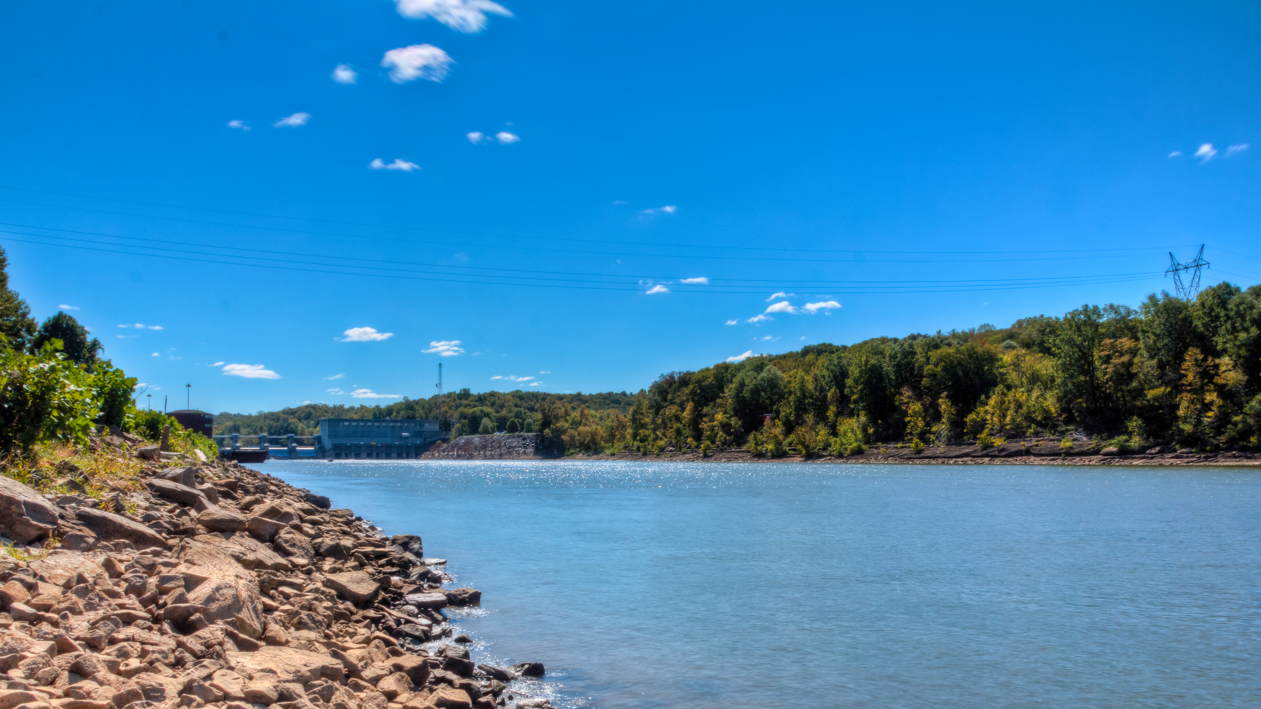
Cumberland River bottom

At The Pumpkin Patch
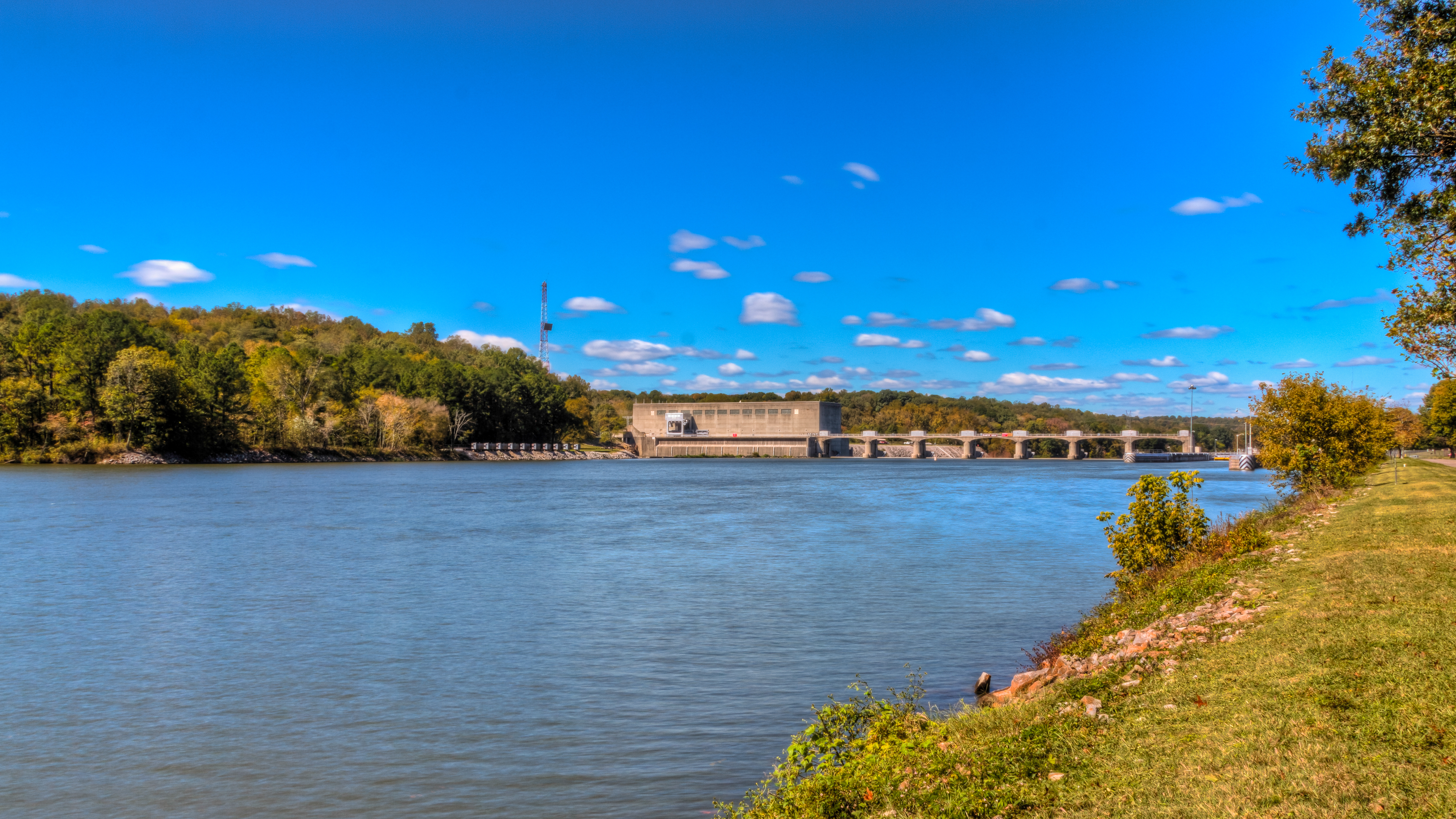
Bicentennial Trail - Cheatham Dam

IMG_0184-1

Bicentennial Trail

The Sinks

Bicentennial Trail
Bicentennial Trail

Art of E.T. Wickham: The legs of Sitting Bull & feet of Piomingo

Tobacco Field
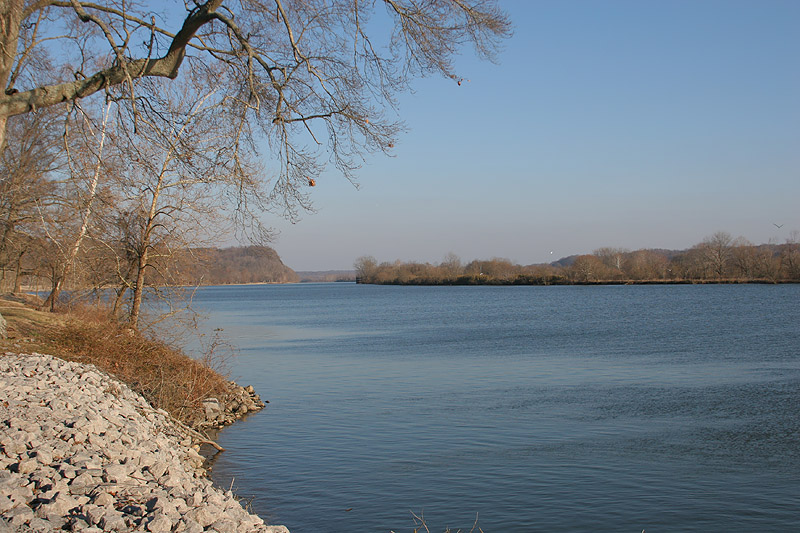
Cumberland River/Cheatham Lake TN
Topographic Map of Old Hwy 48, Cunningham, TN, USA
Find elevation by address:

Places near Old Hwy 48, Cunningham, TN, USA:
144 Indian Creek Rd
1640 Southside Rd
Southside
Foster Rd, Cumberland Furnace, TN, USA
Rock Springs Rd, Charlotte, TN, USA
Cumberland Furnace
1411 Stayton Rd
Rock Springs Rd, Charlotte, TN, USA
1044 Old State Hwy 48
Old Metal Road
2342 Mockingbird Hill Rd
Slayden
1226 Brummit Rd
4015 Tn-49
Greenwood Rd, Charlotte, TN, USA
Vanleer
Shiloh Bridge Rd, Cumberland Furnace, TN, USA
Cheatham Dam Rd, Ashland City, TN, USA
Cheatham Dam Rd, Ashland City, TN, USA
Recent Searches:
- Elevation of Corso Fratelli Cairoli, 35, Macerata MC, Italy
- Elevation of Tallevast Rd, Sarasota, FL, USA
- Elevation of 4th St E, Sonoma, CA, USA
- Elevation of Black Hollow Rd, Pennsdale, PA, USA
- Elevation of Oakland Ave, Williamsport, PA, USA
- Elevation of Pedrógão Grande, Portugal
- Elevation of Klee Dr, Martinsburg, WV, USA
- Elevation of Via Roma, Pieranica CR, Italy
- Elevation of Tavkvetili Mountain, Georgia
- Elevation of Hartfords Bluff Cir, Mt Pleasant, SC, USA