Elevation of Old State Hwy 48, Cumberland Furnace, TN, USA
Location: United States > Tennessee > Dickson County > Cumberland Furnace >
Longitude: -87.361994
Latitude: 36.262497
Elevation: 189m / 620feet
Barometric Pressure: 99KPa
Elevation Map:
Satellite Map:
Related Photos:

Dickson County, TN Courthouse - Charlotte, TN

A View from the Porch

Country View Market Sign Charlotte TN
Dickson Co. Courthouse (alt view) - Charlotte, TN

the view from down here

donut cooking, Country View Market

The Sinks

The Road

Century Farm
rainy day
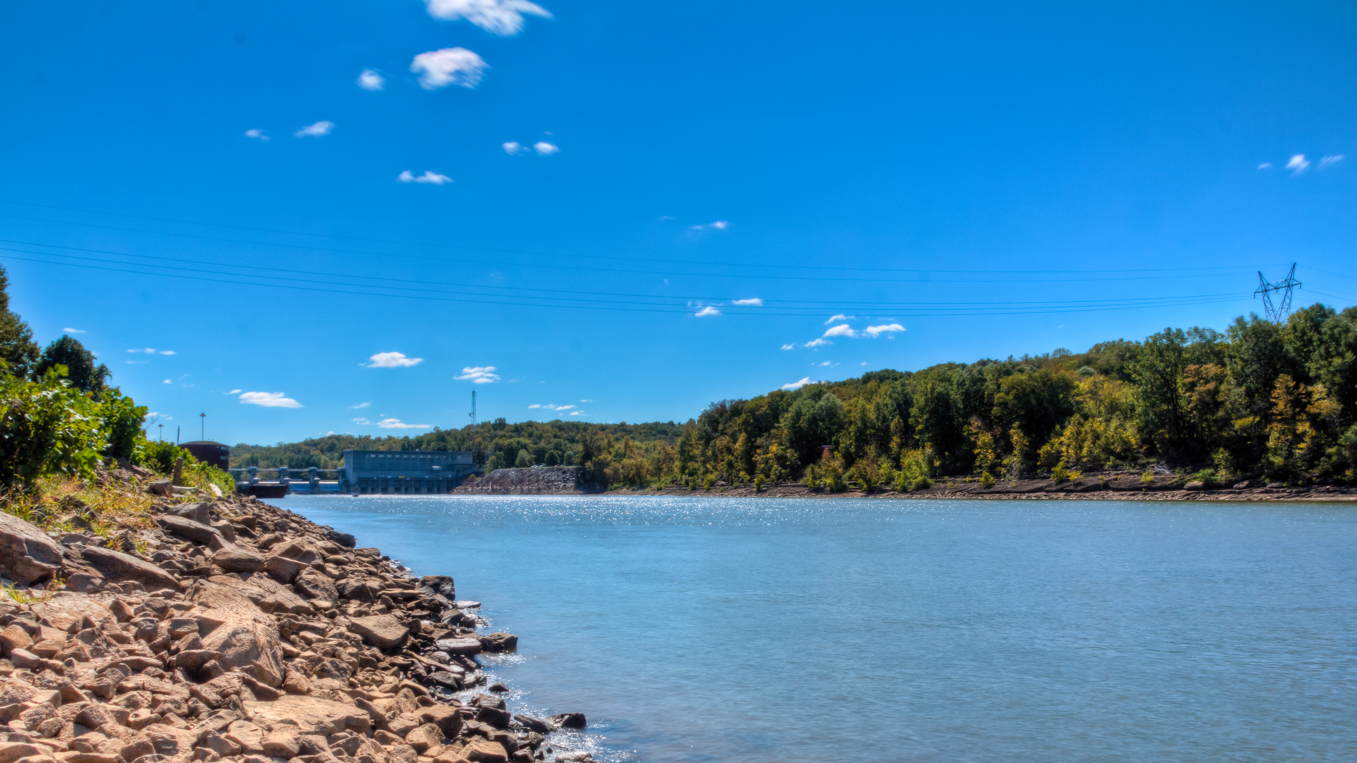
Bicentennial Trail - Cheatham Dam

Bicentennial Trail
Tobacco Field

When Sparrows Gathr
Bicentennial Trail
the pond
Pastureland Dickson Co TN (2)
Cumberland River/Cheatham Lake TN
Topographic Map of Old State Hwy 48, Cumberland Furnace, TN, USA
Find elevation by address:

Places near Old State Hwy 48, Cumberland Furnace, TN, USA:
Cumberland Furnace
1411 Stayton Rd
Foster Rd, Cumberland Furnace, TN, USA
4015 Tn-49
144 Indian Creek Rd
1226 Brummit Rd
Vanleer
Old Hwy 48, Cunningham, TN, USA
Greenwood Rd, Charlotte, TN, USA
Rock Springs Rd, Charlotte, TN, USA
Slayden
Rock Springs Rd, Charlotte, TN, USA
1640 Southside Rd
Southside
Old Metal Road
2342 Mockingbird Hill Rd
Shiloh Bridge Rd, Cumberland Furnace, TN, USA
Cheatham Dam Rd, Ashland City, TN, USA
Cheatham Dam Rd, Ashland City, TN, USA
Recent Searches:
- Elevation of Zimmer Trail, Pennsylvania, USA
- Elevation of 87 Kilmartin Ave, Bristol, CT, USA
- Elevation of Honghe National Nature Reserve, QP95+PJP, Tongjiang, Heilongjiang, Jiamusi, Heilongjiang, China
- Elevation of Hercules Dr, Colorado Springs, CO, USA
- Elevation of Szlak pieszy czarny, Poland
- Elevation of Griffing Blvd, Biscayne Park, FL, USA
- Elevation of Kreuzburger Weg 13, Düsseldorf, Germany
- Elevation of Gateway Blvd SE, Canton, OH, USA
- Elevation of East W.T. Harris Boulevard, E W.T. Harris Blvd, Charlotte, NC, USA
- Elevation of West Sugar Creek, Charlotte, NC, USA