Elevation of Star, KS, USA
Location: United States > Kansas > Coffey County >
Longitude: -95.593239
Latitude: 38.2362477
Elevation: 349m / 1145feet
Barometric Pressure: 97KPa
Elevation Map:
Satellite Map:
Related Photos:

January 09 2015 - Zodiacal Light
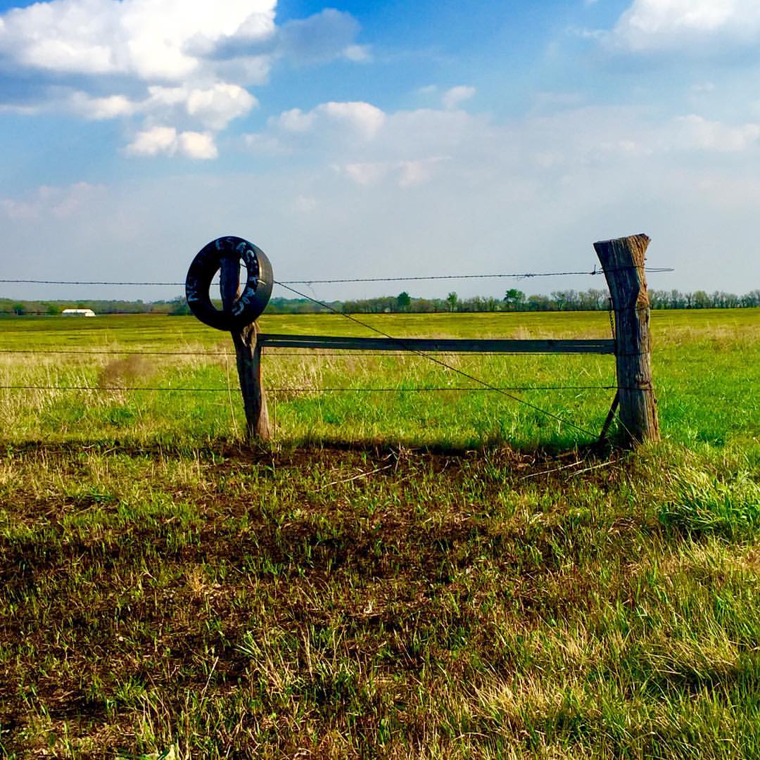
No trespassing...So says the old tire #onlyinkansas

Sunset over Redmond
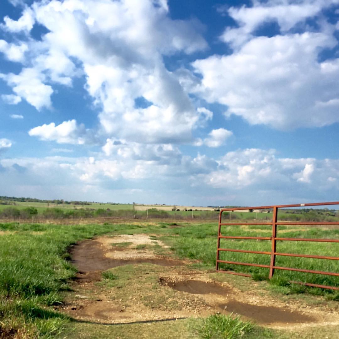
Nothing but blue skies #onlyinkansas #wherestoto

Sunset over Redmond

January 09 2015 - Venus over Mercury

Smoke Enhanced Sunset

April 23, 2007 Sunset
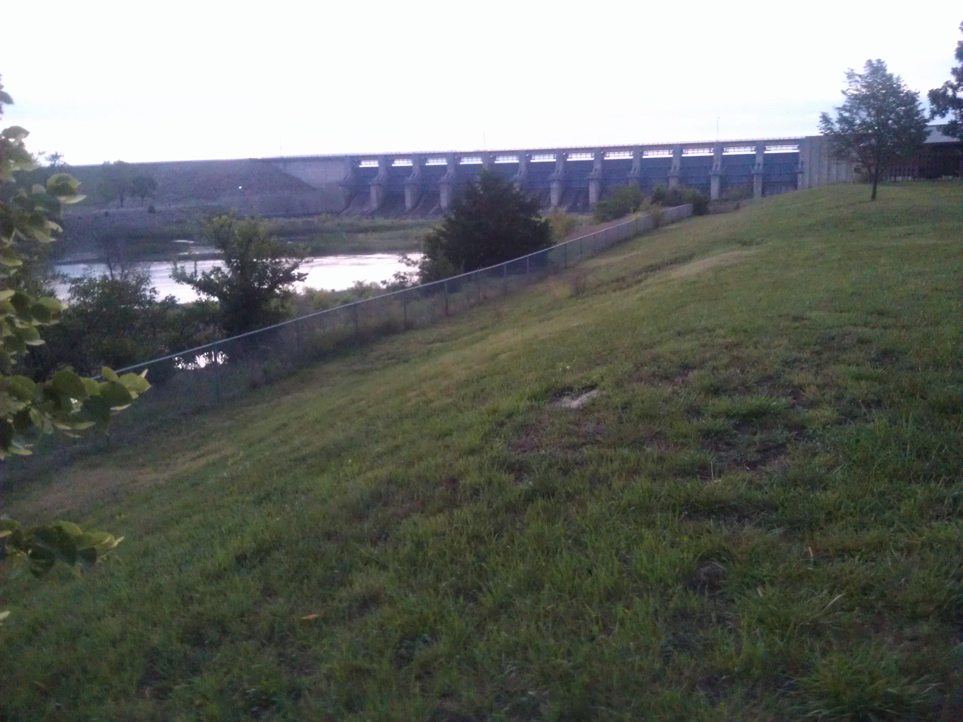
John Redmond Reservoir- Coffey County KS (1)
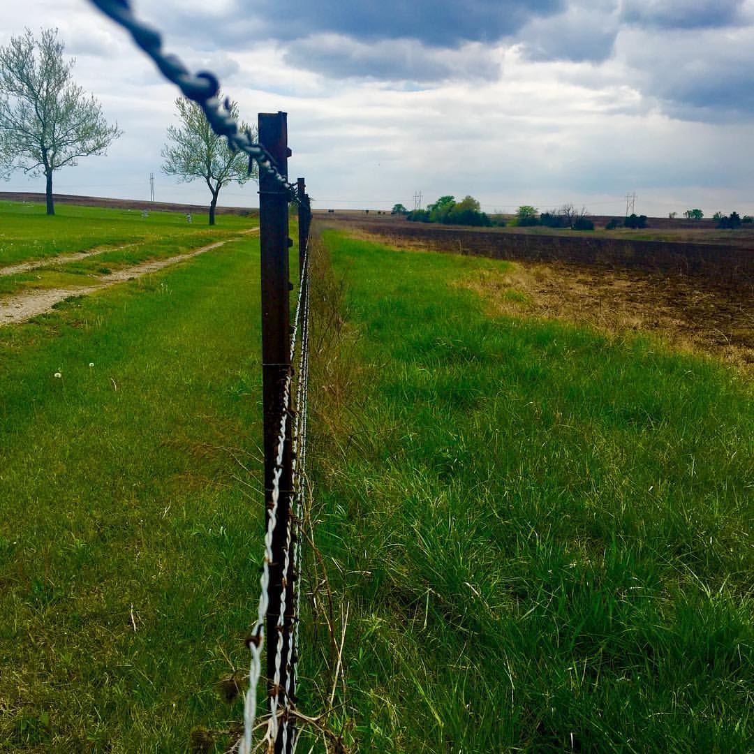
Lookin down the fence row #onlyinkansas
John Redmond Reservoir- Coffey County KS (6)

Time Lapse

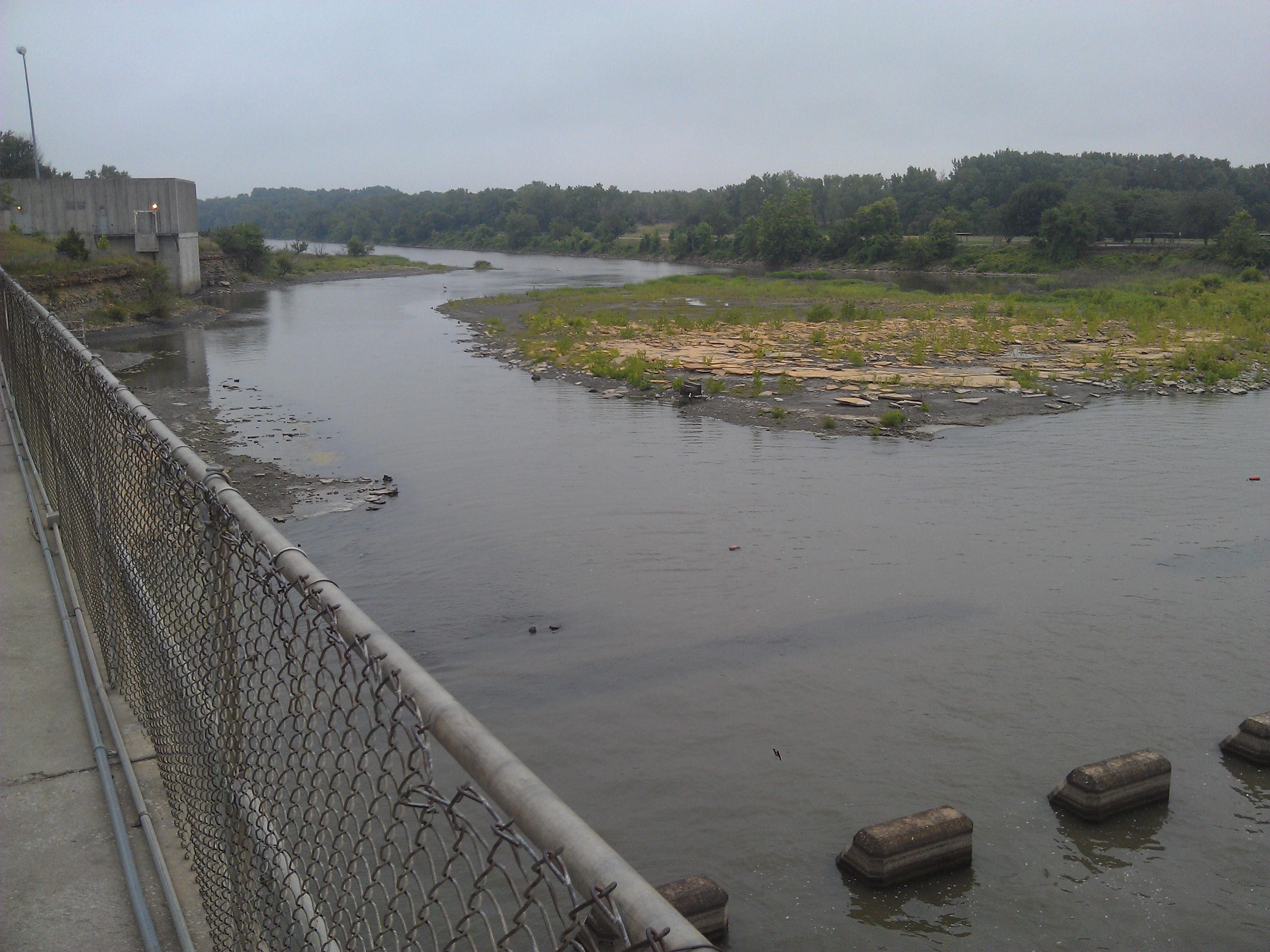
Burlington City Dam

September 24 2015 - Sunset at John Redmond Reservoir
Topographic Map of Star, KS, USA
Find elevation by address:

Places near Star, KS, USA:
2088 15th Rd Se
2088 15th Rd Se
207-201
Westphalia
Rock Creek
Westphalia
Dane St, Waverly, KS, USA
Waverly
Reeder
13906 Ks-31
The Island
Walnut St, Neosho Falls, KS, USA
Neosho Falls
Williamsburg
Anderson County
455 Hamilton Rd
Merck Animal Health
Hamilton Rd, Pomona, KS, USA
1050 Haskell Terrace
816 W 4th Ave
Recent Searches:
- Elevation of Crocker Dr, Vacaville, CA, USA
- Elevation of Pu Ngaol Community Meeting Hall, HWHM+3X7, Krong Saen Monourom, Cambodia
- Elevation of Royal Ontario Museum, Queens Park, Toronto, ON M5S 2C6, Canada
- Elevation of Groblershoop, South Africa
- Elevation of Power Generation Enterprises | Industrial Diesel Generators, Oak Ave, Canyon Country, CA, USA
- Elevation of Chesaw Rd, Oroville, WA, USA
- Elevation of N, Mt Pleasant, UT, USA
- Elevation of 6 Rue Jules Ferry, Beausoleil, France
- Elevation of Sattva Horizon, 4JC6+G9P, Vinayak Nagar, Kattigenahalli, Bengaluru, Karnataka, India
- Elevation of Great Brook Sports, Gold Star Hwy, Groton, CT, USA