Elevation of Hamilton Rd, Pomona, KS, USA
Location: United States > Kansas > Franklin County >
Longitude: -95.4244
Latitude: 38.5087
Elevation: 348m / 1142feet
Barometric Pressure: 97KPa
Elevation Map:
Satellite Map:
Related Photos:
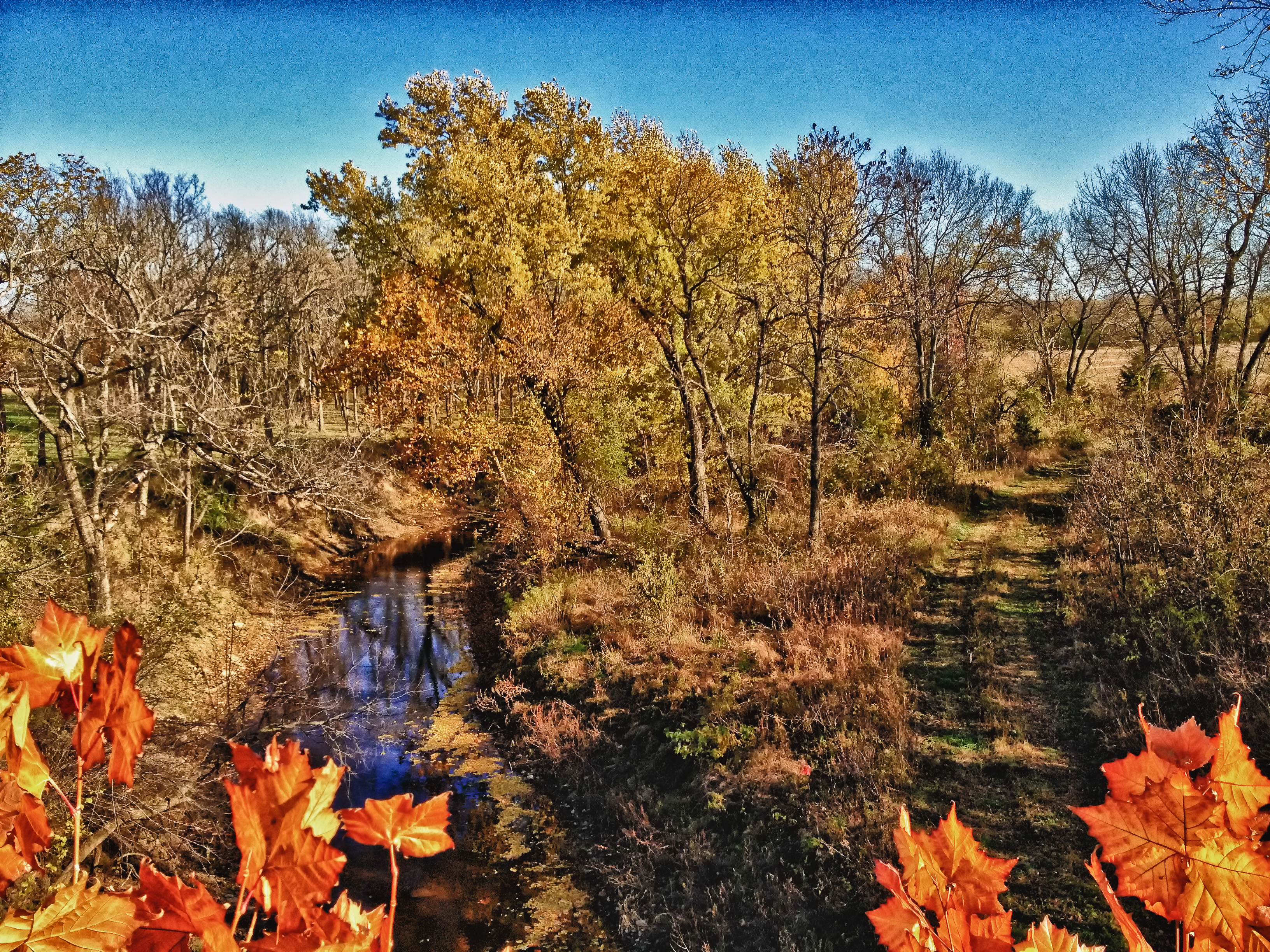
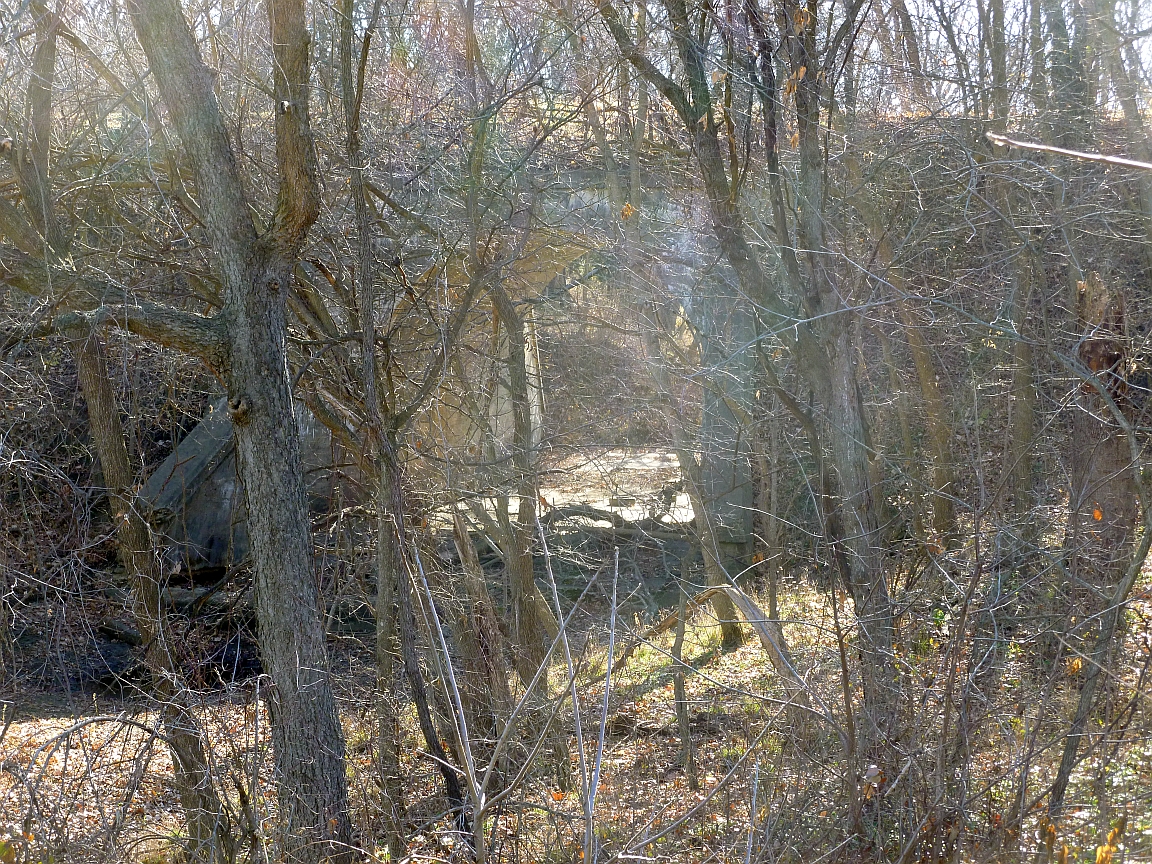
prairie-trail-view-nov12b-1

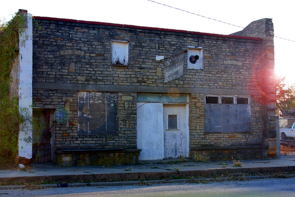
Study in Decay

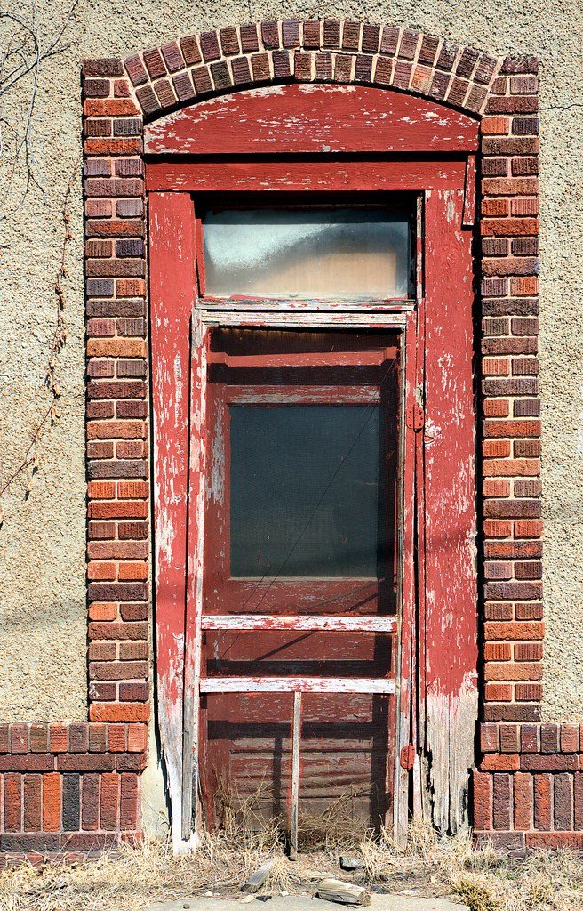
Haunted House Entrance

Back To The Future
Williamsburg Treasure
Anybody Pass Through Here Lately?
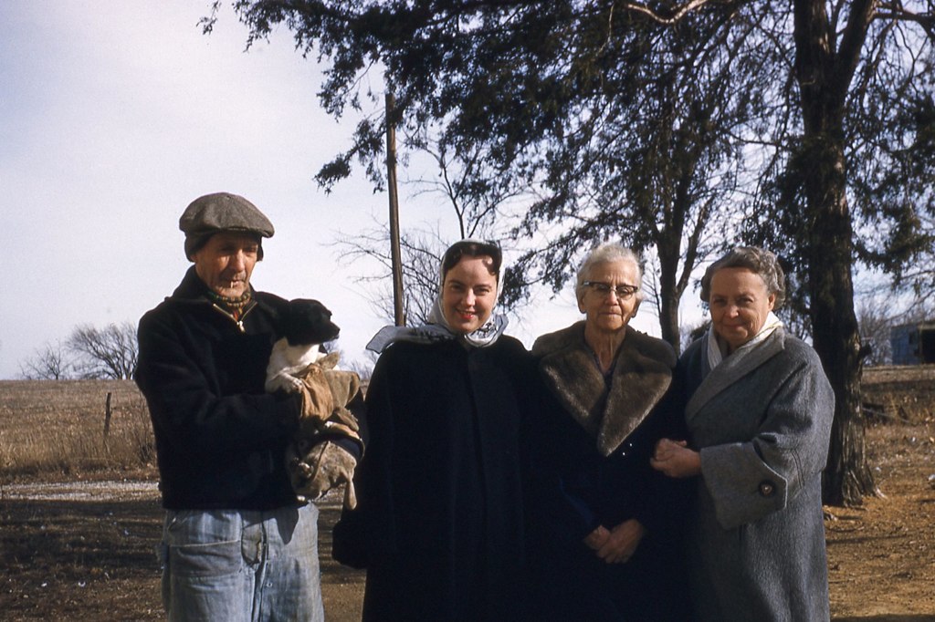
Ernie & Trixie_Vivian_002
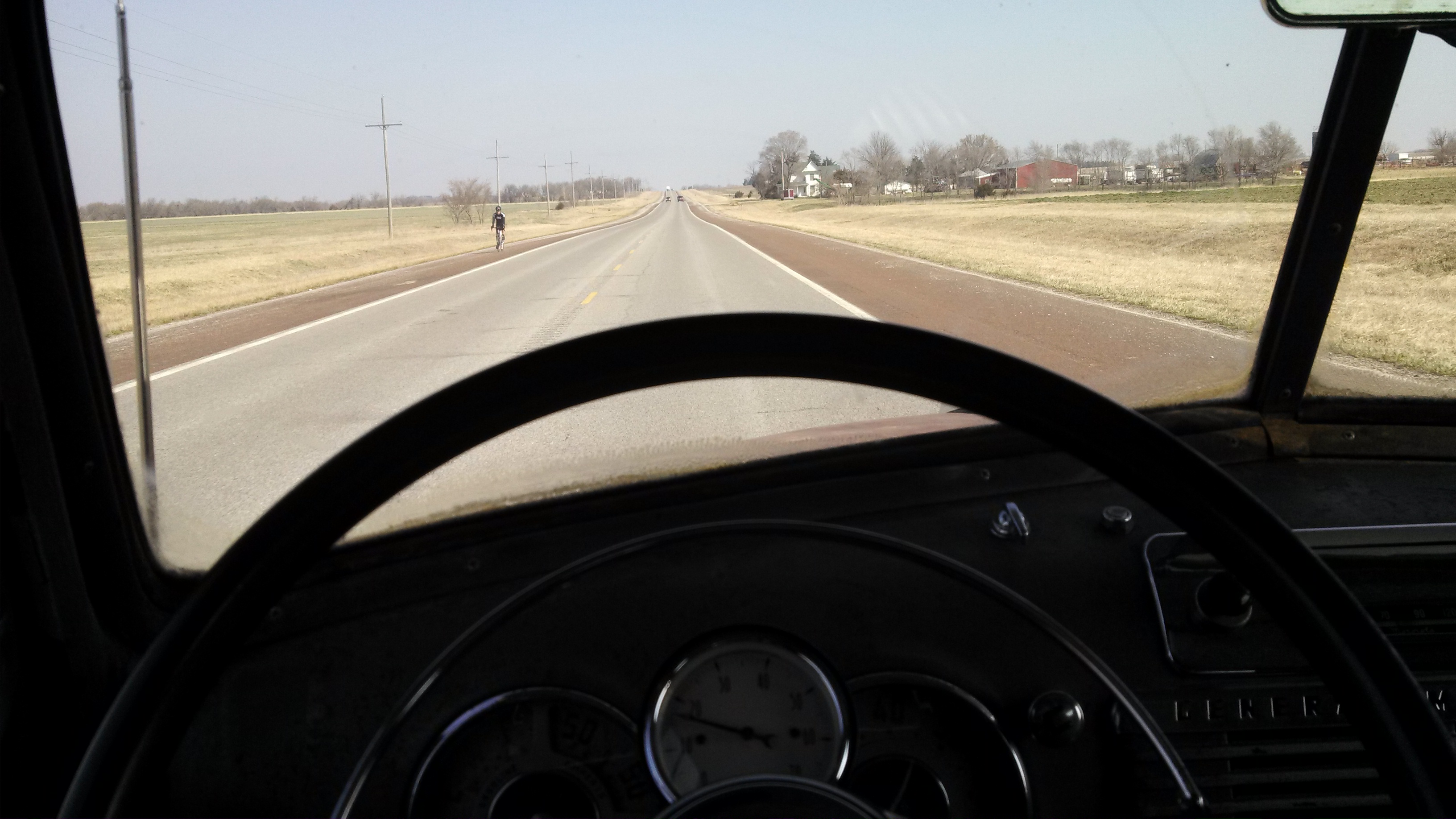
2014-03-29 10.48.06

near B N Junction, KS, United States
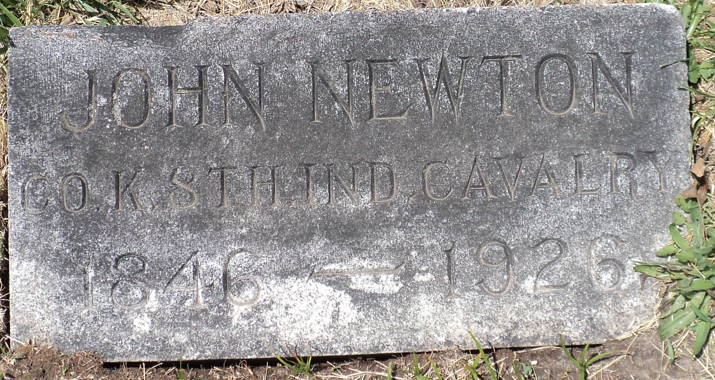
John Newton Harrison
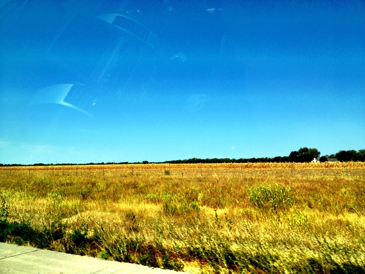
Camera Roll-711

I-35 Eastbound, Homewood, KS
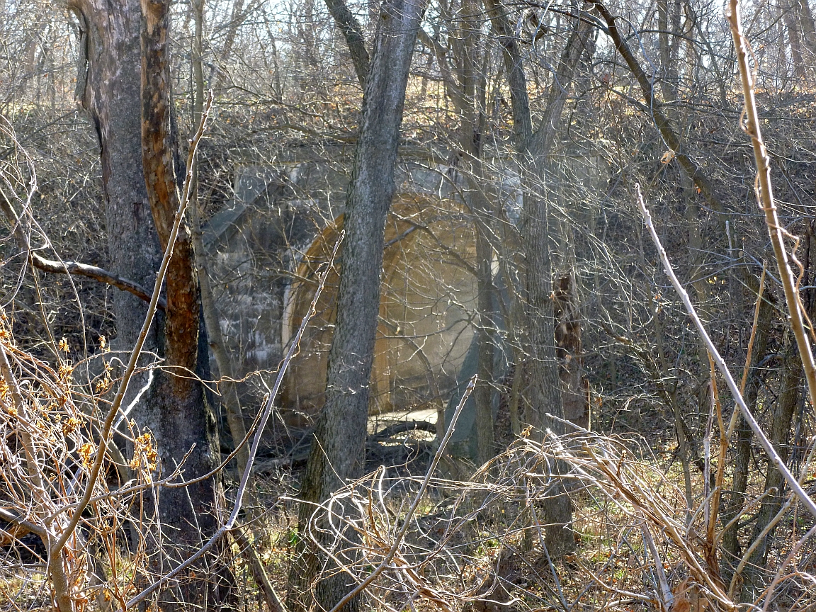
Bridge just west of Williamsburg
Bridge just west of Williamsburg
Illinois 2013 (1)
Topographic Map of Hamilton Rd, Pomona, KS, USA
Find elevation by address:

Places near Hamilton Rd, Pomona, KS, USA:
1050 Haskell Terrace
Homewood
455 Hamilton Rd
Williamsburg
Merck Animal Health
West Franklin High School
West Franklin High School
Pomona
Pomona
Quenemo
2319 Douglas Rd
S 68 Hwy, Quenemo, KS, USA
Agency
Ohio
Princeton
Galveston St, Princeton, KS, USA
Franklin County
Ottawa
Ottawa
13906 Ks-31
Recent Searches:
- Elevation of Spaceport America, Co Rd A, Truth or Consequences, NM, USA
- Elevation of Warwick, RI, USA
- Elevation of Fern Rd, Whitmore, CA, USA
- Elevation of 62 Abbey St, Marshfield, MA, USA
- Elevation of Fernwood, Bradenton, FL, USA
- Elevation of Felindre, Swansea SA5 7LU, UK
- Elevation of Leyte Industrial Development Estate, Isabel, Leyte, Philippines
- Elevation of W Granada St, Tampa, FL, USA
- Elevation of Pykes Down, Ivybridge PL21 0BY, UK
- Elevation of Jalan Senandin, Lutong, Miri, Sarawak, Malaysia