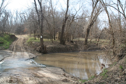
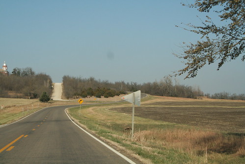
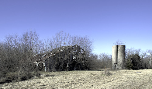
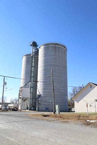
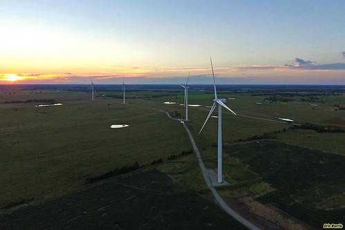
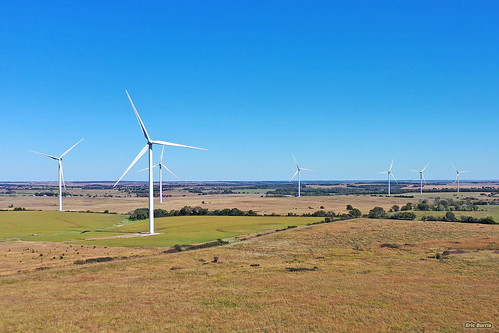
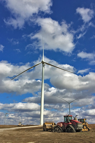
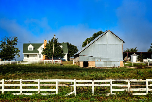
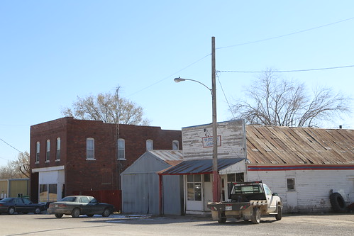
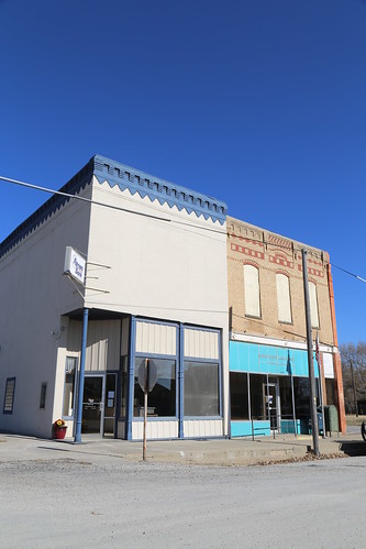
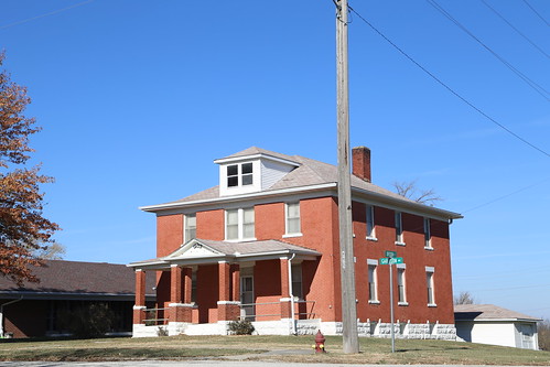
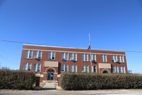
Elevation of KS-31, Garnett, KS, USA
Location: United States > Kansas > Anderson County > Garnett >
Longitude: -95.435950
Latitude: 38.3200064
Elevation: 306m / 1004feet
Barometric Pressure: 98KPa
Related Photos:
Topographic Map of KS-31, Garnett, KS, USA
Find elevation by address:

Places near KS-31, Garnett, KS, USA:
Reeder
Westphalia
Anderson County
207-201
Williamsburg
Westphalia
Rock Creek
Merck Animal Health
Star
Dane St, Waverly, KS, USA
Waverly
2088 15th Rd Se
2088 15th Rd Se
816 W 4th Ave
Hamilton Rd, Pomona, KS, USA
2319 Douglas Rd
100 N Maple St
South Maple Street
455 Hamilton Rd
Gardiner Street Maintenance
Recent Searches:
- Elevation of Congressional Dr, Stevensville, MD, USA
- Elevation of Bellview Rd, McLean, VA, USA
- Elevation of Stage Island Rd, Chatham, MA, USA
- Elevation of Shibuya Scramble Crossing, 21 Udagawacho, Shibuya City, Tokyo -, Japan
- Elevation of Jadagoniai, Kaunas District Municipality, Lithuania
- Elevation of Pagonija rock, Kranto 7-oji g. 8"N, Kaunas, Lithuania
- Elevation of Co Rd 87, Jamestown, CO, USA
- Elevation of Tenjo, Cundinamarca, Colombia
- Elevation of Côte-des-Neiges, Montreal, QC H4A 3J6, Canada
- Elevation of Bobcat Dr, Helena, MT, USA
