Elevation of 15th Rd SE, Burlington, KS, USA
Location: United States > Kansas > Coffey County > Star >
Longitude: -95.602605
Latitude: 38.2421462
Elevation: 330m / 1083feet
Barometric Pressure: 97KPa
Elevation Map:
Satellite Map:
Related Photos:

January 09 2015 - Zodiacal Light

Smoke Enhanced Sunset
John Redmond Reservoir- Coffey County KS (1)
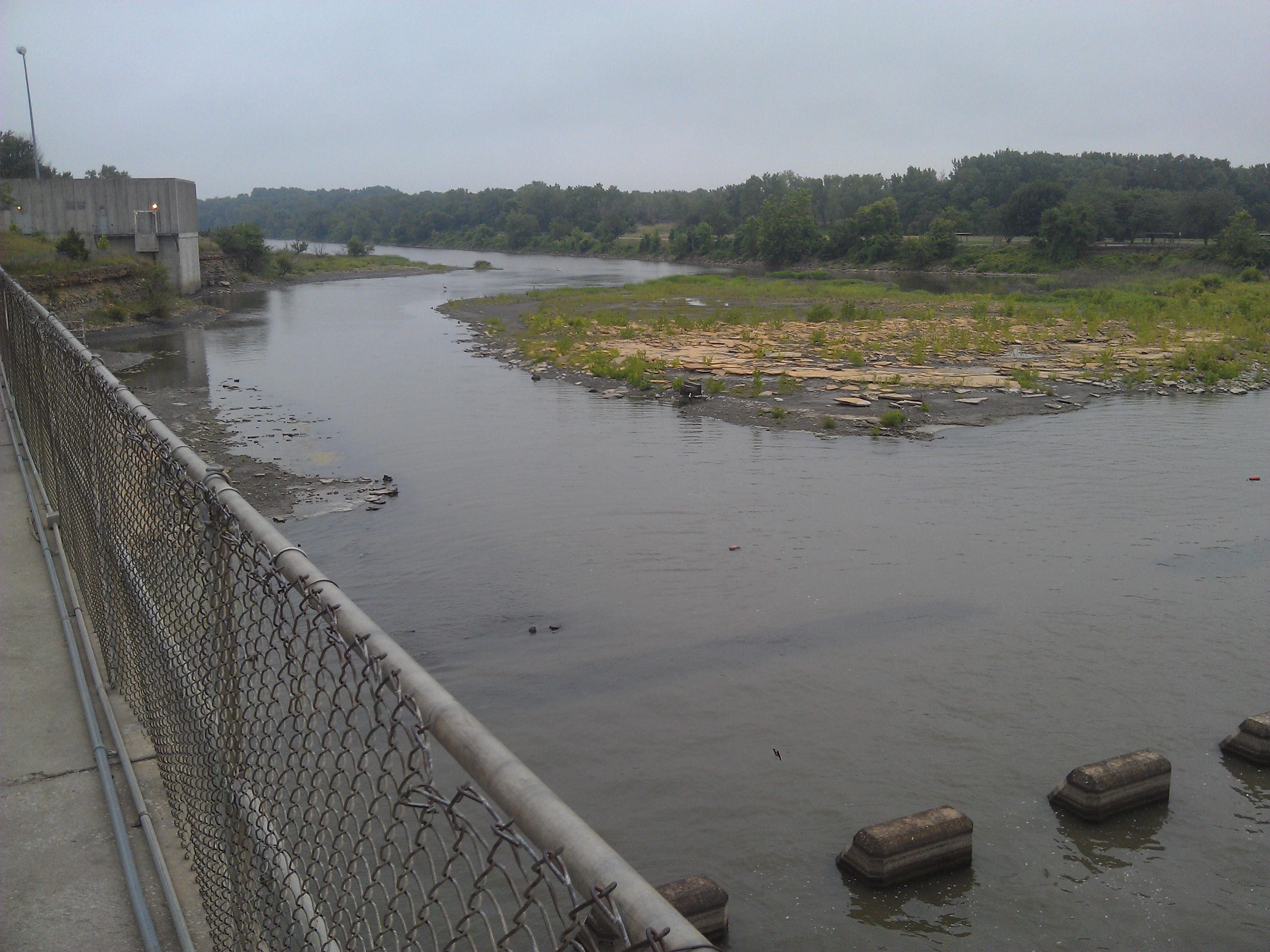
John Redmond Reservoir- Coffey County KS (6)

Time Lapse
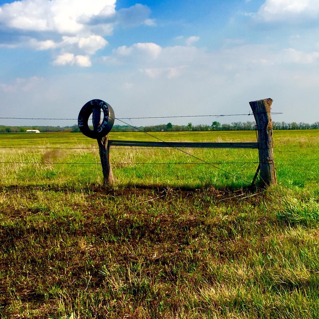
No trespassing...So says the old tire #onlyinkansas

Sunset over Redmond
Nothing but blue skies #onlyinkansas #wherestoto

Sunset over Redmond

January 09 2015 - Venus over Mercury

April 23, 2007 Sunset
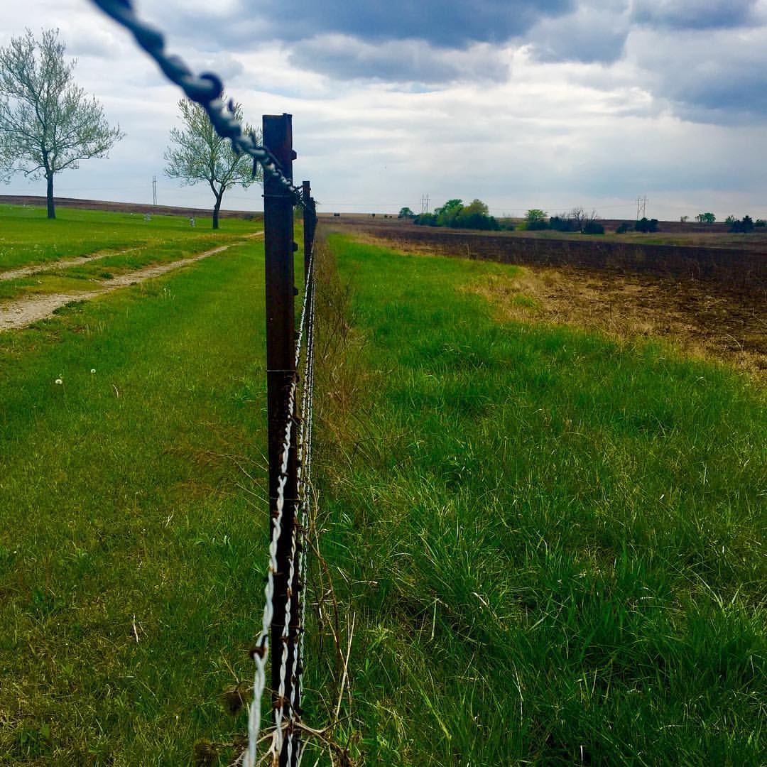
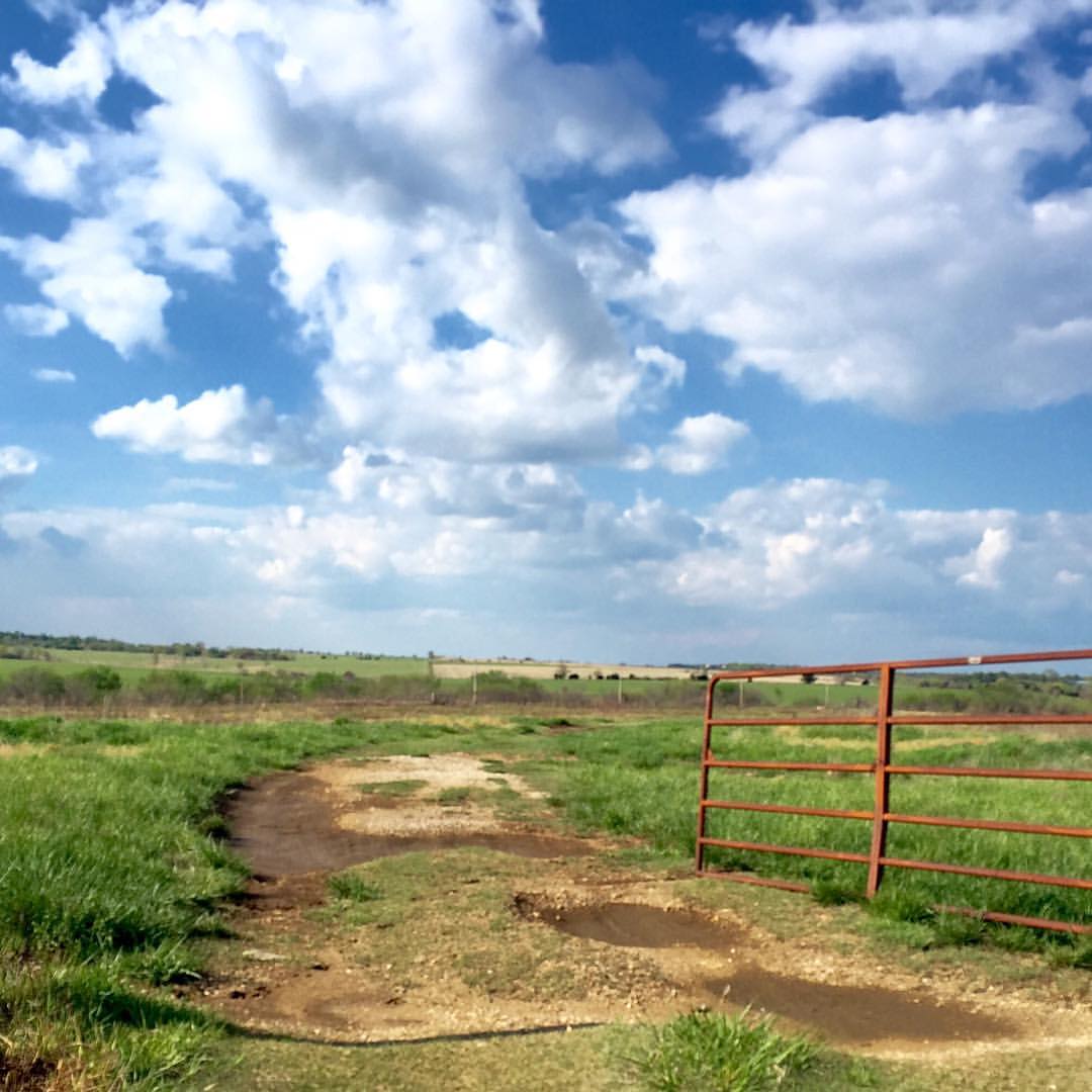
Lookin down the fence row #onlyinkansas

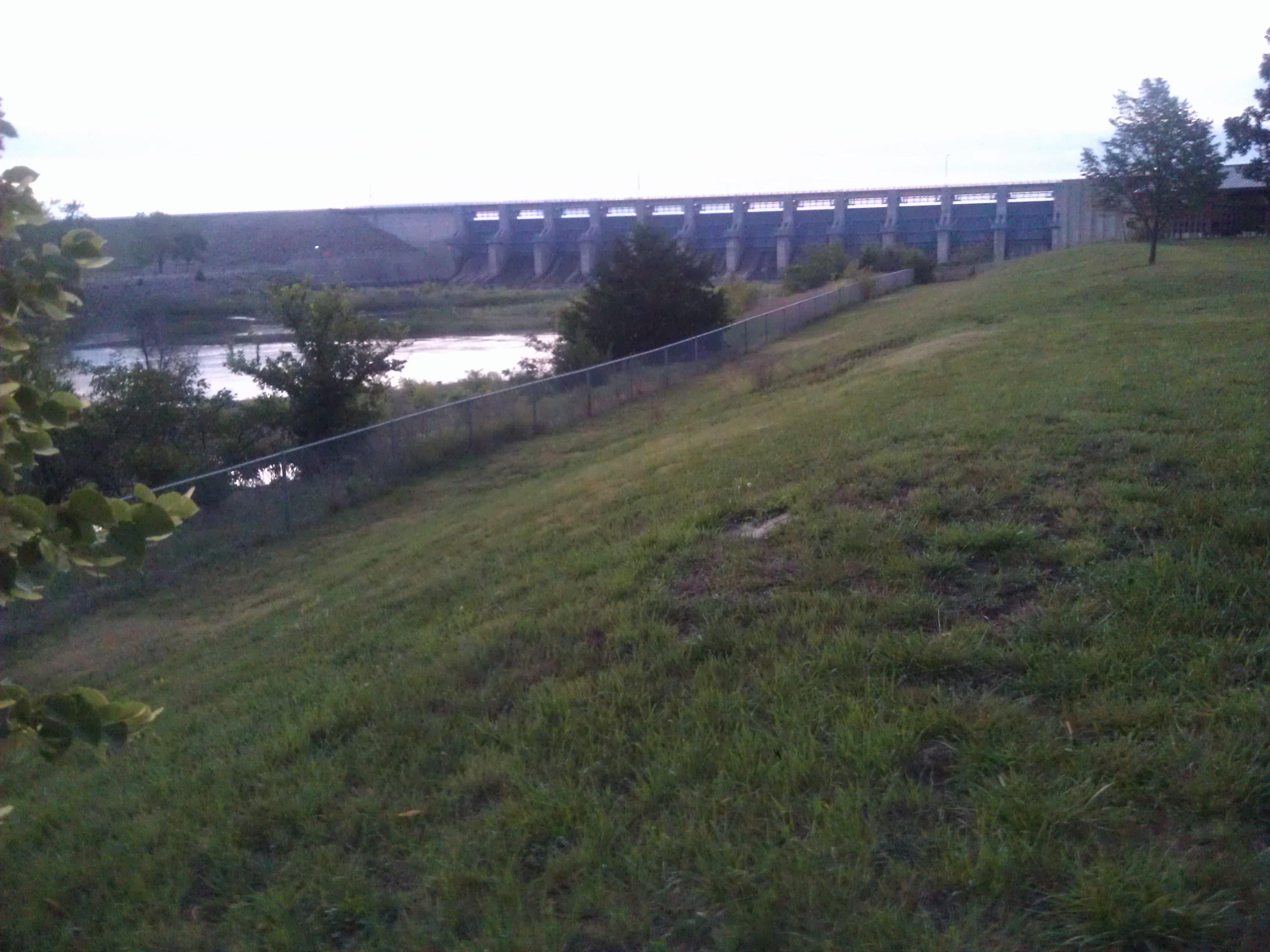
Burlington City Dam

September 24 2015 - Sunset at John Redmond Reservoir
Topographic Map of 15th Rd SE, Burlington, KS, USA
Find elevation by address:

Places near 15th Rd SE, Burlington, KS, USA:
2088 15th Rd Se
Star
207-201
Westphalia
Rock Creek
Dane St, Waverly, KS, USA
Westphalia
Waverly
Reeder
13906 Ks-31
The Island
Walnut St, Neosho Falls, KS, USA
Neosho Falls
Williamsburg
455 Hamilton Rd
Anderson County
Merck Animal Health
Hamilton Rd, Pomona, KS, USA
1050 Haskell Terrace
Quenemo
Recent Searches:
- Elevation of Vista Blvd, Sparks, NV, USA
- Elevation of 15th Ave SE, St. Petersburg, FL, USA
- Elevation of Beall Road, Beall Rd, Florida, USA
- Elevation of Leguwa, Nepal
- Elevation of County Rd, Enterprise, AL, USA
- Elevation of Kolchuginsky District, Vladimir Oblast, Russia
- Elevation of Shustino, Vladimir Oblast, Russia
- Elevation of Lampiasi St, Sarasota, FL, USA
- Elevation of Elwyn Dr, Roanoke Rapids, NC, USA
- Elevation of Congressional Dr, Stevensville, MD, USA