Elevation of Merck Animal Health, Idaho Rd, Williamsburg, KS, USA
Location: United States > Kansas > Franklin County > Homewood >
Longitude: -95.378731
Latitude: 38.4704914
Elevation: -10000m / -32808feet
Barometric Pressure: 295KPa
Elevation Map:
Satellite Map:
Related Photos:

Haunted House Entrance

Back To The Future

Anybody Pass Through Here Lately?

Study in Decay

Williamsburg Treasure

2014-03-29 10.48.06

The view from my nose

prairie-trail-view-nov12b-1

Ernie & Trixie_Vivian_002

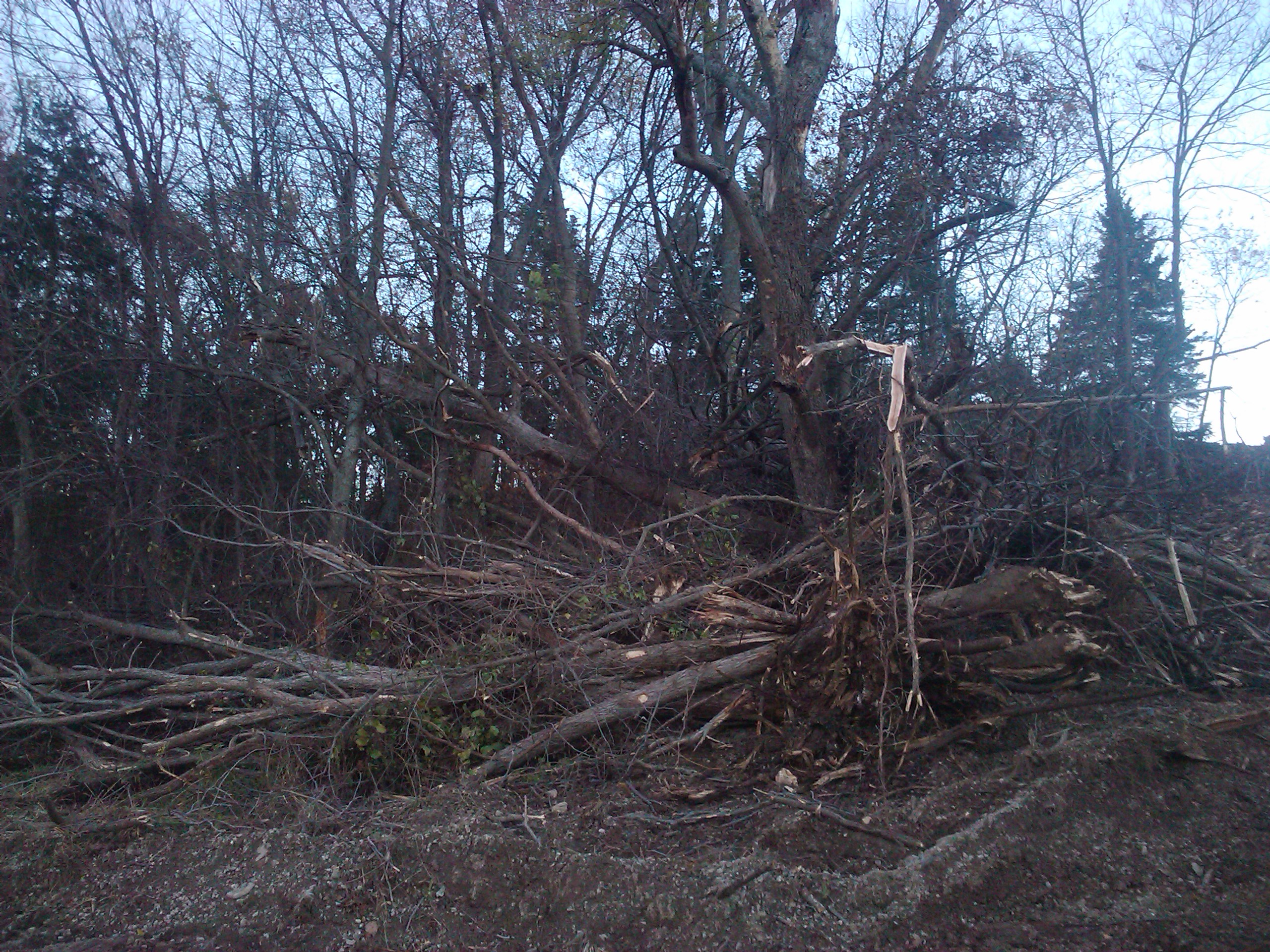
Scenery off Idaho Road

John Newton Harrison

Scenery off Idaho Road

Feathered Star

Camera Roll-711

2015-07-13 19.55.12

Bridge just west of Williamsburg

Bridge just west of Williamsburg

Illinois 2013 (1)

I-35 Eastbound, Homewood, KS
2010-11-02 18.21.14
Topographic Map of Merck Animal Health, Idaho Rd, Williamsburg, KS, USA
Find elevation by address:

Places near Merck Animal Health, Idaho Rd, Williamsburg, KS, USA:
Homewood
Hamilton Rd, Pomona, KS, USA
1050 Haskell Terrace
Williamsburg
2319 Douglas Rd
Ohio
455 Hamilton Rd
Princeton
Galveston St, Princeton, KS, USA
Richmond
518 Bungalow Ave
West Franklin High School
West Franklin High School
Pomona
13906 Ks-31
Franklin County
Reeder
Ottawa
Pomona
1234 S Lincoln St
Recent Searches:
- Elevation of Leyte Industrial Development Estate, Isabel, Leyte, Philippines
- Elevation of W Granada St, Tampa, FL, USA
- Elevation of Pykes Down, Ivybridge PL21 0BY, UK
- Elevation of Jalan Senandin, Lutong, Miri, Sarawak, Malaysia
- Elevation of Bilohirs'k
- Elevation of 30 Oak Lawn Dr, Barkhamsted, CT, USA
- Elevation of Luther Road, Luther Rd, Auburn, CA, USA
- Elevation of Unnamed Road, Respublika Severnaya Osetiya — Alaniya, Russia
- Elevation of Verkhny Fiagdon, North Ossetia–Alania Republic, Russia
- Elevation of F. Viola Hiway, San Rafael, Bulacan, Philippines