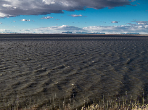
Elevation of Springfield, ID, USA
Location: United States > Idaho > Bingham County >
Longitude: -112.68193
Latitude: 43.08158
Elevation: 1350m / 4429feet
Barometric Pressure: 86KPa
Related Photos:
Topographic Map of Springfield, ID, USA
Find elevation by address:

Places in Springfield, ID, USA:
Places near Springfield, ID, USA:
W S, Springfield, ID, USA
Sterling
W S, Sterling, ID, USA
Pingree
S W, Pingree, ID, USA
S W, Aberdeen, ID, USA
ID-39, Blackfoot, ID, USA
W S, Blackfoot, ID, USA
Aberdeen
273 Sunset Rd
Taber Rd, Blackfoot, ID, USA
1296 Us-26
U.s. Highway 26
Power County
U.s. Highway 26
S Main St, Rockland, ID, USA
Rockland
Butte City, ID, USA
Heglar Canyon Rd, Idaho, USA
Craters Of The Moon National Monument & Preserve
Recent Searches:
- Elevation of Lampiasi St, Sarasota, FL, USA
- Elevation of Elwyn Dr, Roanoke Rapids, NC, USA
- Elevation of Congressional Dr, Stevensville, MD, USA
- Elevation of Bellview Rd, McLean, VA, USA
- Elevation of Stage Island Rd, Chatham, MA, USA
- Elevation of Shibuya Scramble Crossing, 21 Udagawacho, Shibuya City, Tokyo -, Japan
- Elevation of Jadagoniai, Kaunas District Municipality, Lithuania
- Elevation of Pagonija rock, Kranto 7-oji g. 8"N, Kaunas, Lithuania
- Elevation of Co Rd 87, Jamestown, CO, USA
- Elevation of Tenjo, Cundinamarca, Colombia
