Elevation of Aberdeen, ID, USA
Location: United States > Idaho > Bingham County >
Longitude: -112.83832
Latitude: 42.9440784
Elevation: 1342m / 4403feet
Barometric Pressure: 86KPa
Elevation Map:
Satellite Map:
Related Photos:

#meissnerphotography

Sunsets and Refreshing Breezes
Pocatello Field

American_Falls-8293.jpg

#meissnerphotography
#meissnerphotography

#meissnerphotography

Solitary Sandpiper - DSC_6540crpdadjwm
ETOPS certified
flight went mx

Kayaking #2 - American Falls Reservoir

Kayaking #1 - American Falls Reservoir
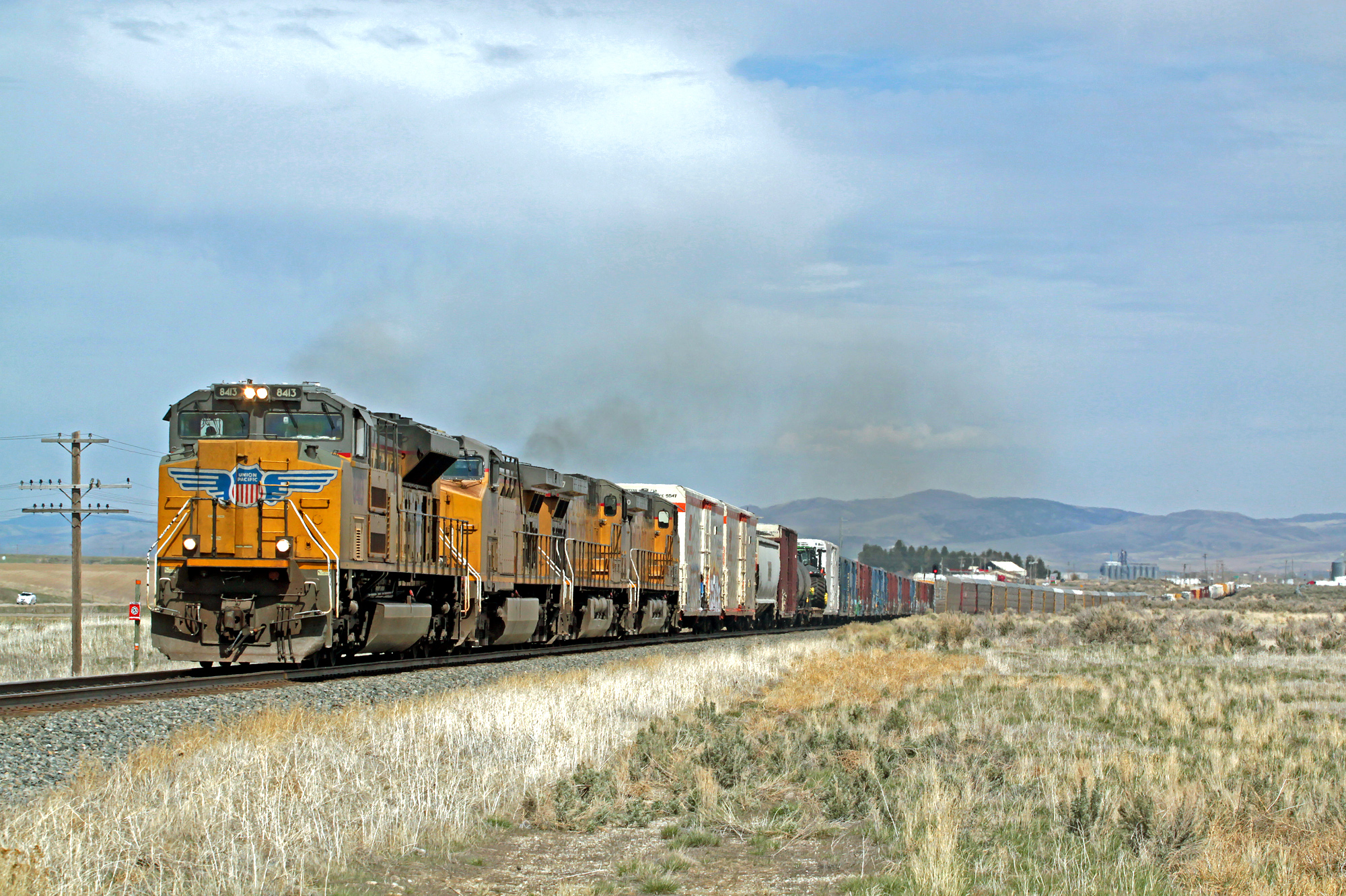
UP8413 heads a west bound manifest out of Pocatello

Home on the Range
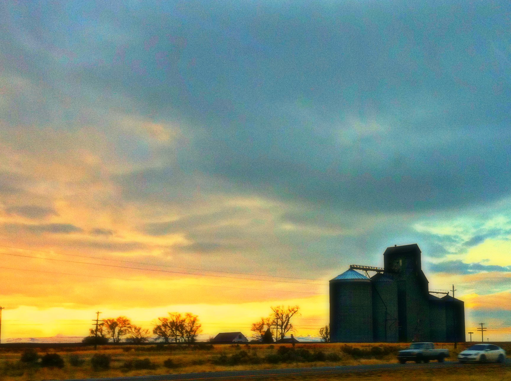
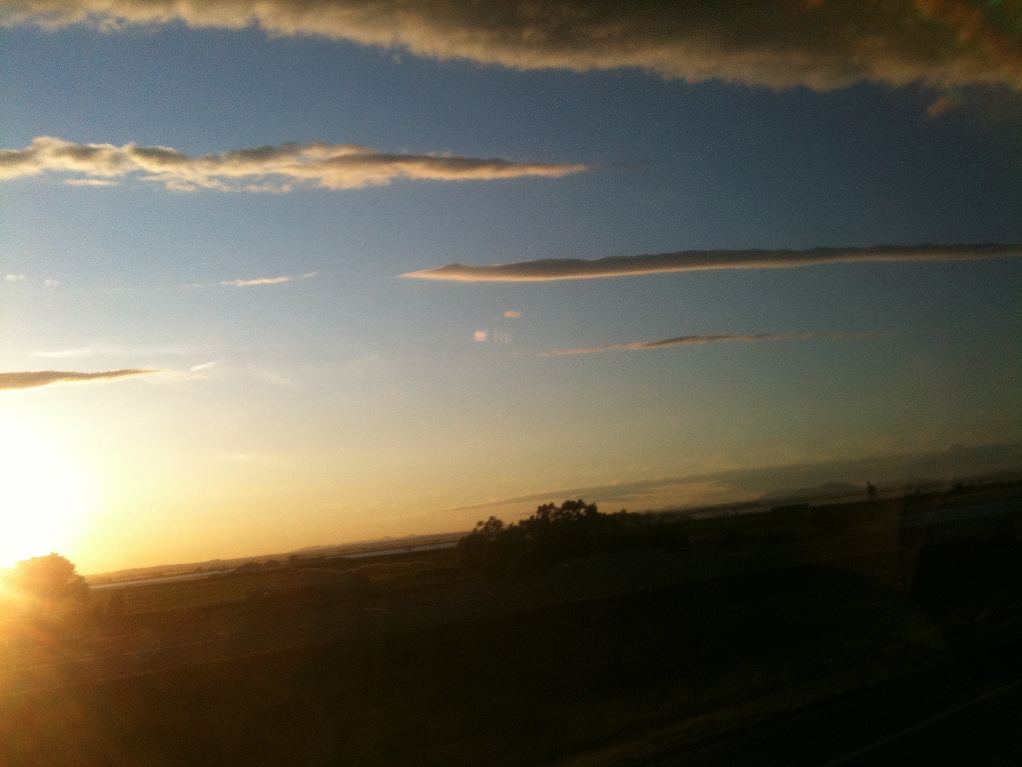
Power County daybreak
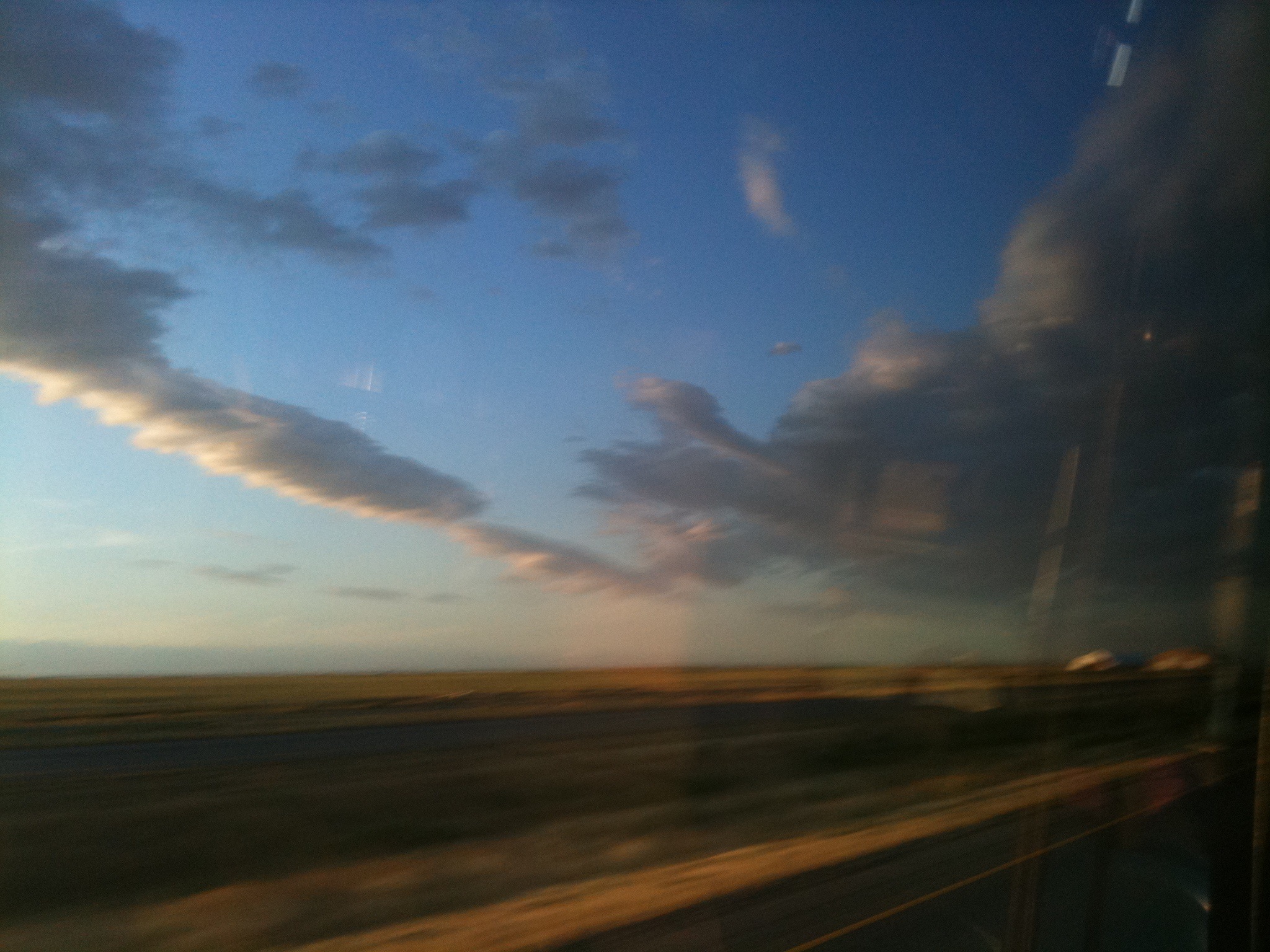
" rope " clouds at sunset
" rope " clouds
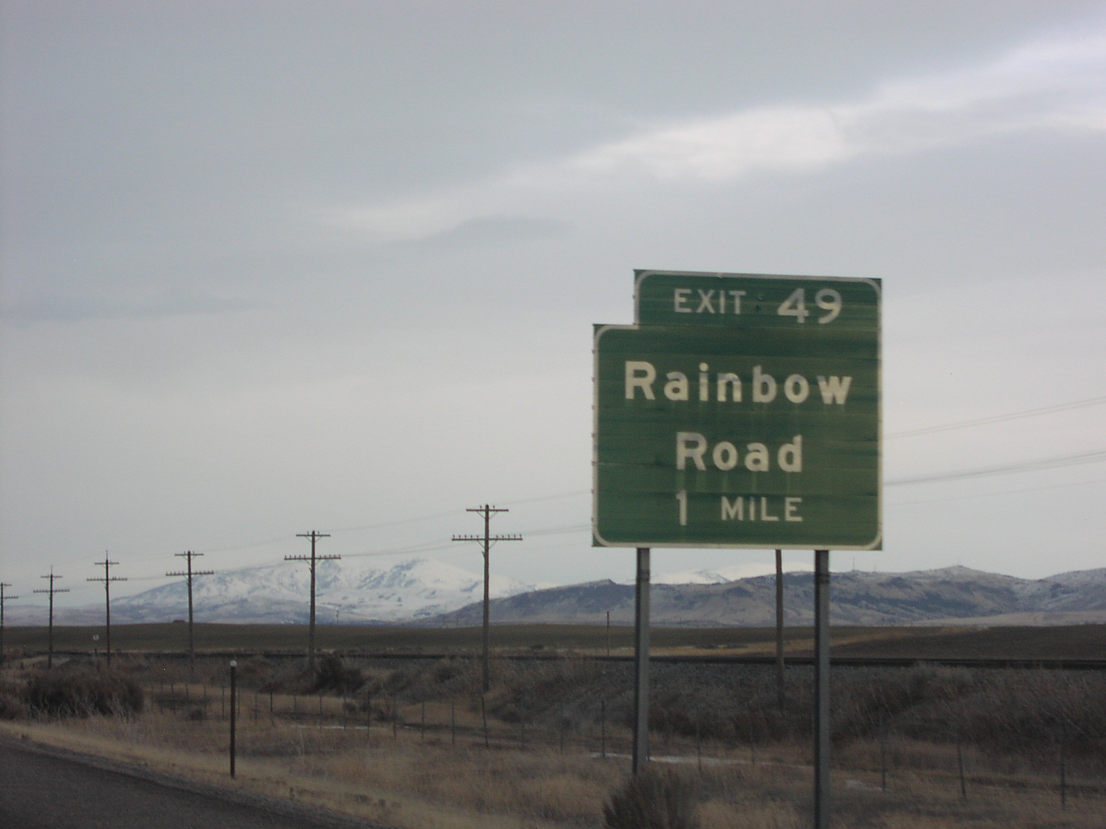
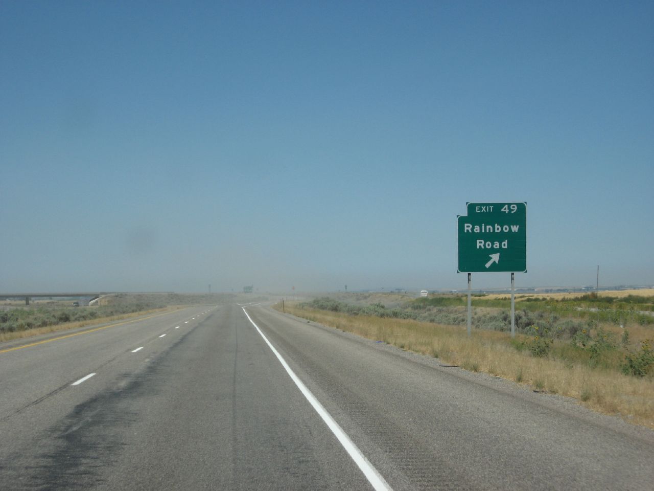
I-86 East Exit 49
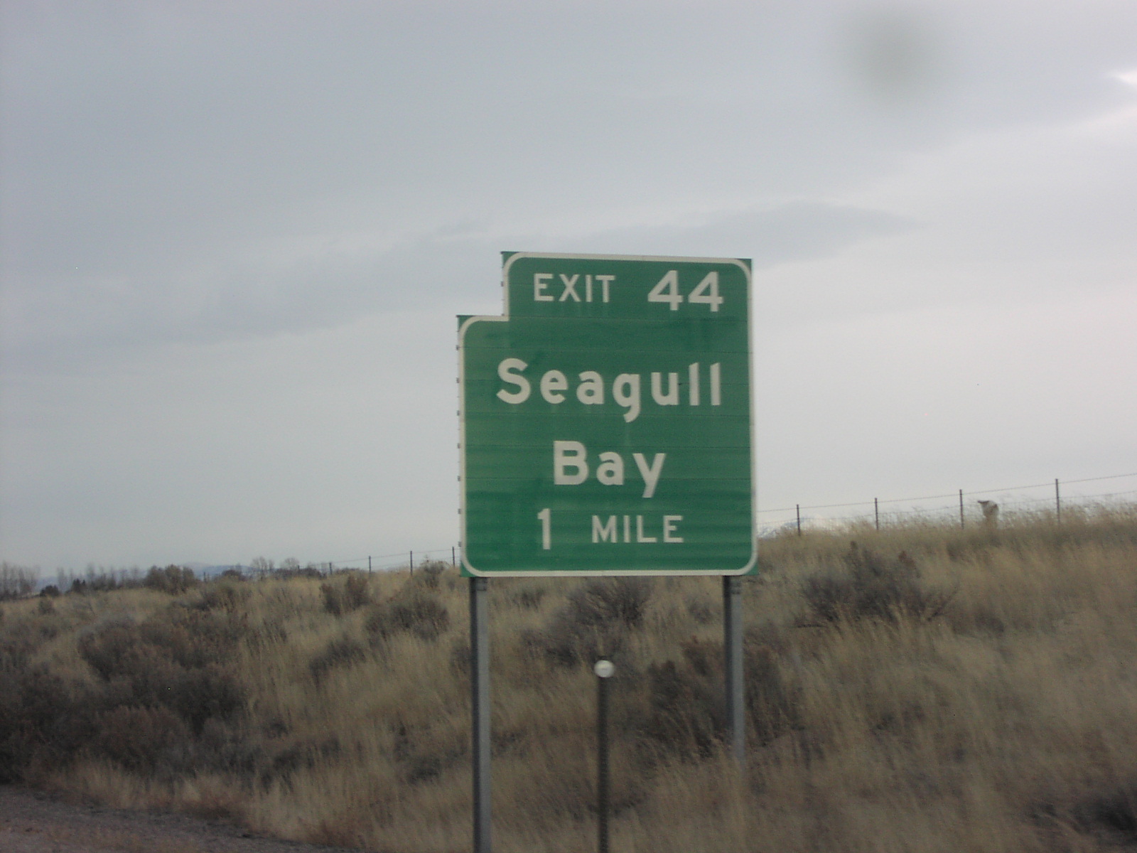
I-86 East Exit 44
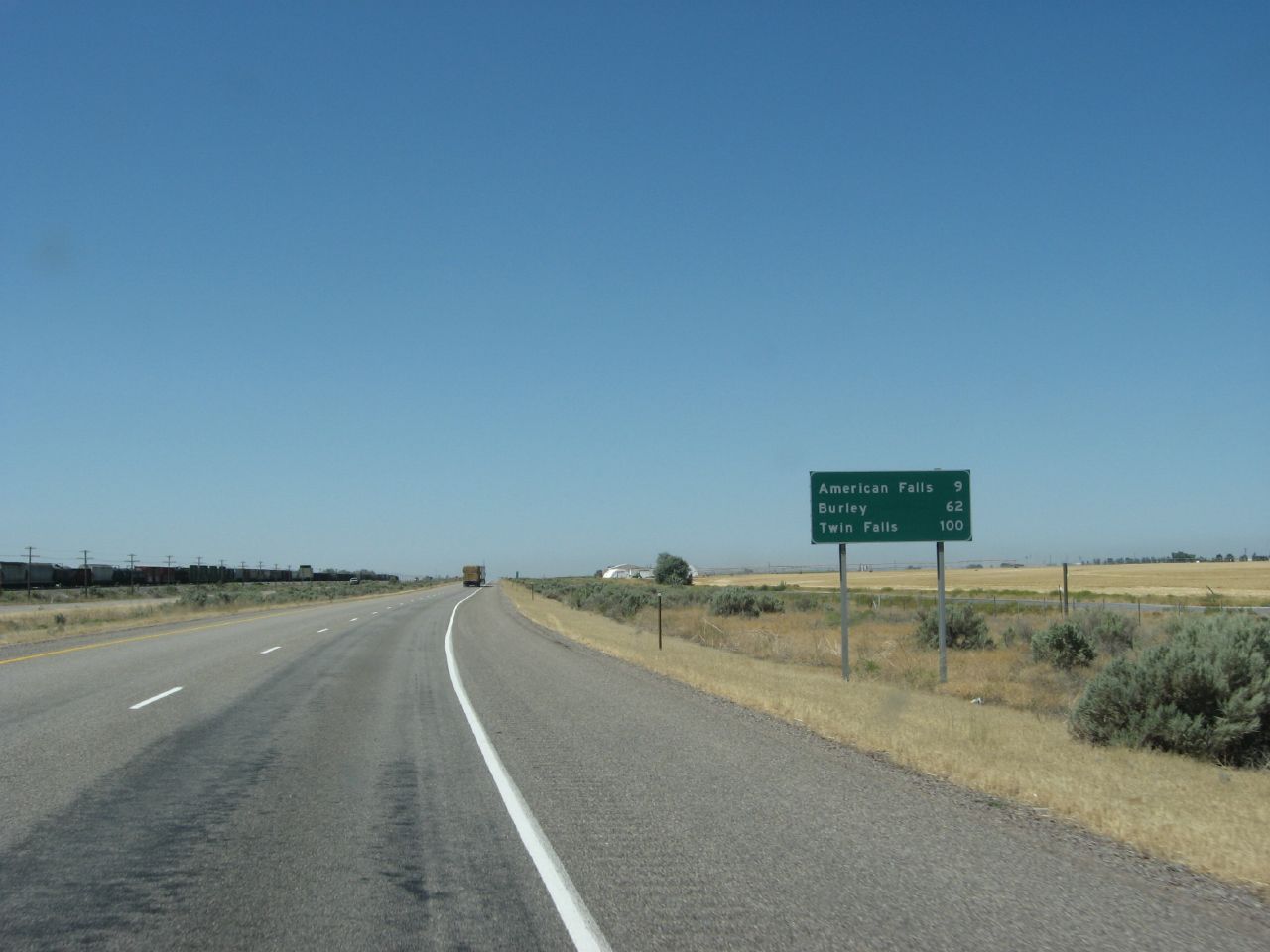
Interstate 86, Between American Falls and Burley, Idaho
Interstate 86, Between American Falls and Burley, Idaho
Topographic Map of Aberdeen, ID, USA
Find elevation by address:

Places in Aberdeen, ID, USA:
Places near Aberdeen, ID, USA:
S W, Aberdeen, ID, USA
W S, Sterling, ID, USA
Sterling
Power County
Springfield
W S, Springfield, ID, USA
Pingree
S W, Pingree, ID, USA
S Main St, Rockland, ID, USA
Rockland
ID-39, Blackfoot, ID, USA
Taber Rd, Blackfoot, ID, USA
W S, Blackfoot, ID, USA
273 Sunset Rd
U.s. Highway 26
1296 Us-26
U.s. Highway 26
Heglar Canyon Rd, Idaho, USA
405c
Sublett
Recent Searches:
- Elevation of Elwyn Dr, Roanoke Rapids, NC, USA
- Elevation of Congressional Dr, Stevensville, MD, USA
- Elevation of Bellview Rd, McLean, VA, USA
- Elevation of Stage Island Rd, Chatham, MA, USA
- Elevation of Shibuya Scramble Crossing, 21 Udagawacho, Shibuya City, Tokyo -, Japan
- Elevation of Jadagoniai, Kaunas District Municipality, Lithuania
- Elevation of Pagonija rock, Kranto 7-oji g. 8"N, Kaunas, Lithuania
- Elevation of Co Rd 87, Jamestown, CO, USA
- Elevation of Tenjo, Cundinamarca, Colombia
- Elevation of Côte-des-Neiges, Montreal, QC H4A 3J6, Canada