Elevation of Heglar Canyon Rd, Idaho, USA
Location: United States > Idaho > Cassia County >
Longitude: -113.16468
Latitude: 42.479217
Elevation: 1469m / 4820feet
Barometric Pressure: 85KPa
Elevation Map:
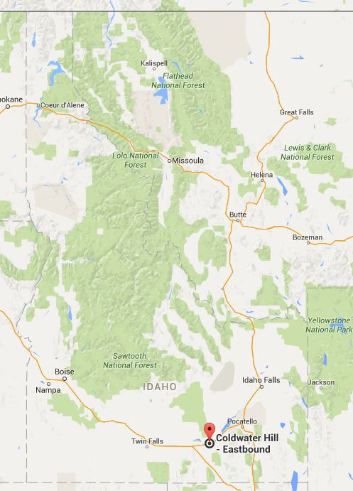
Satellite Map:
Related Photos:
I-86
DSC04262.jpg

2012-ROADTRIP83-Drive to Portland7

Good evening from Idaho. On our way to Woodburn, Oregon.

Biker chicks in our 12th year
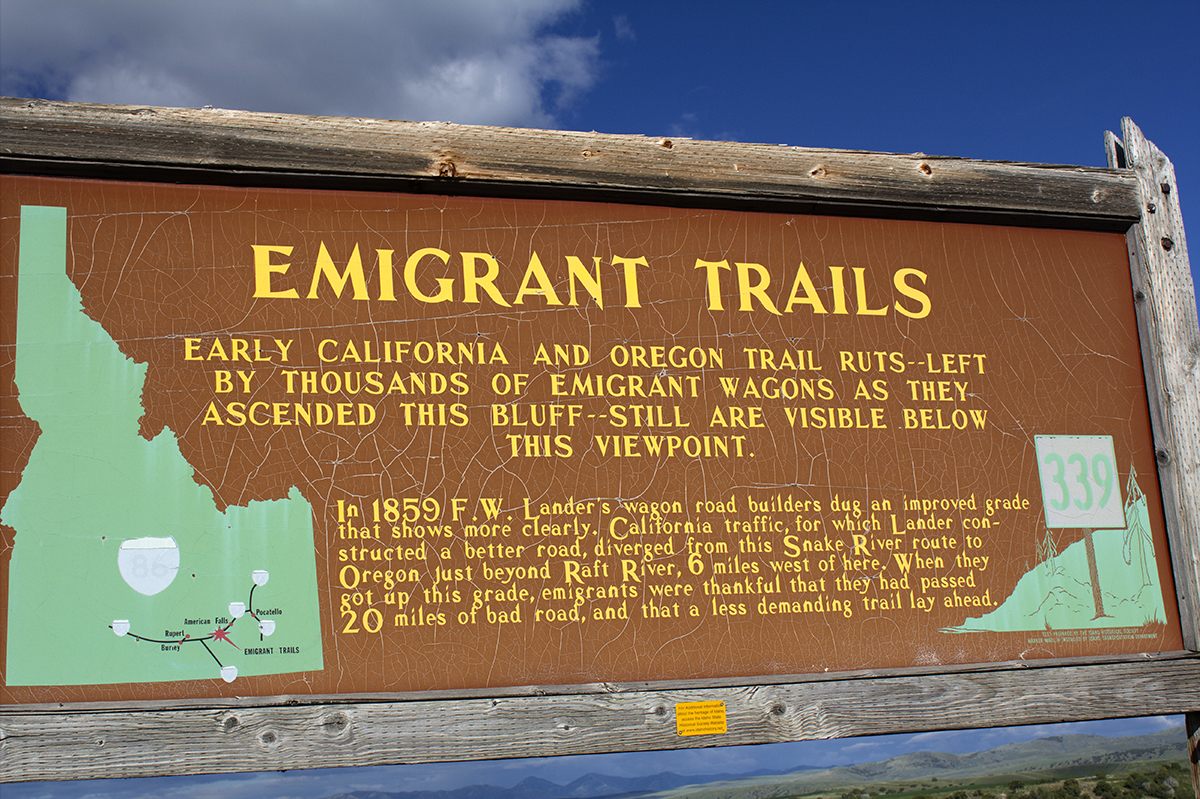
Coldwater Hill _2545

Coldwater Hill _2546

Coldwater Hill _2547
Coldwater Hill Idaho
Coldwater Hill _2544

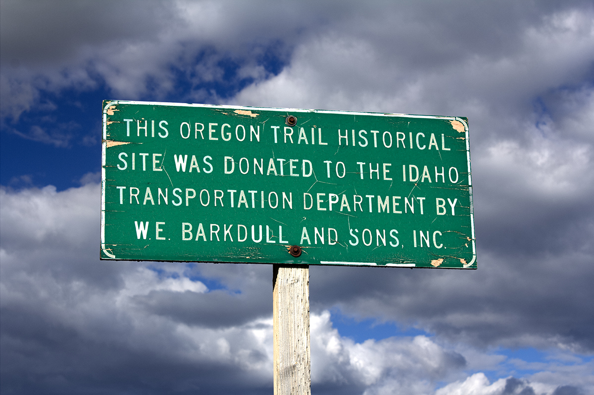
I-86 (Exit 21) Offramp at Coldwater Area

POW-MIA - We Will Never Forget!

Escape Llamas

Llama on the Side of the Road
DSC04263.jpg

DSC04261.jpg

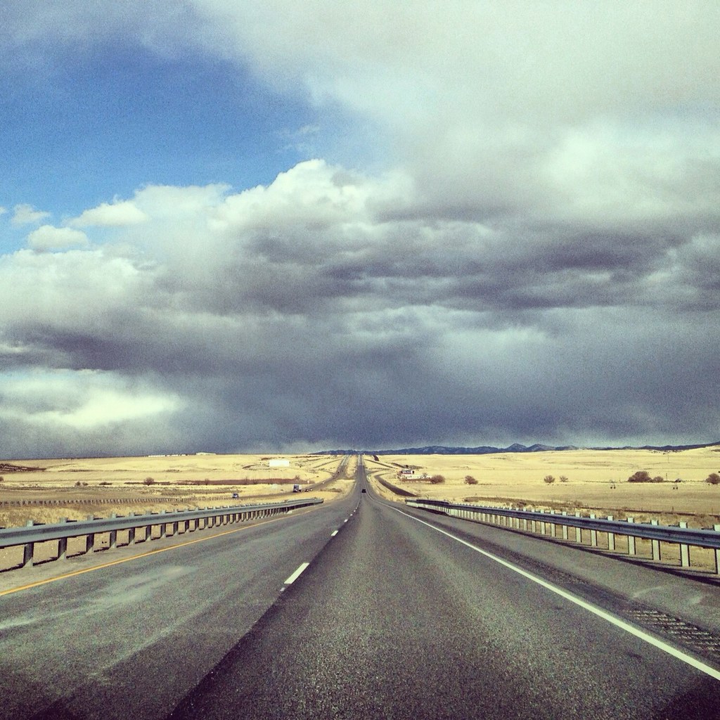
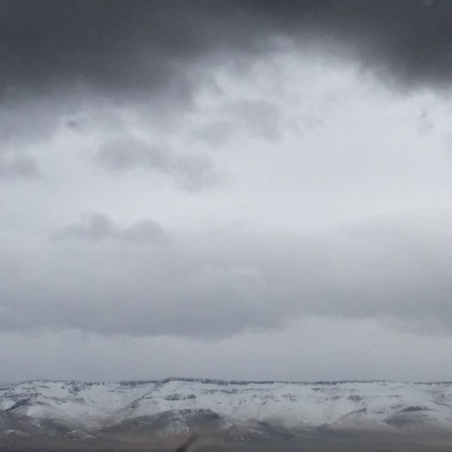
Distant Rain
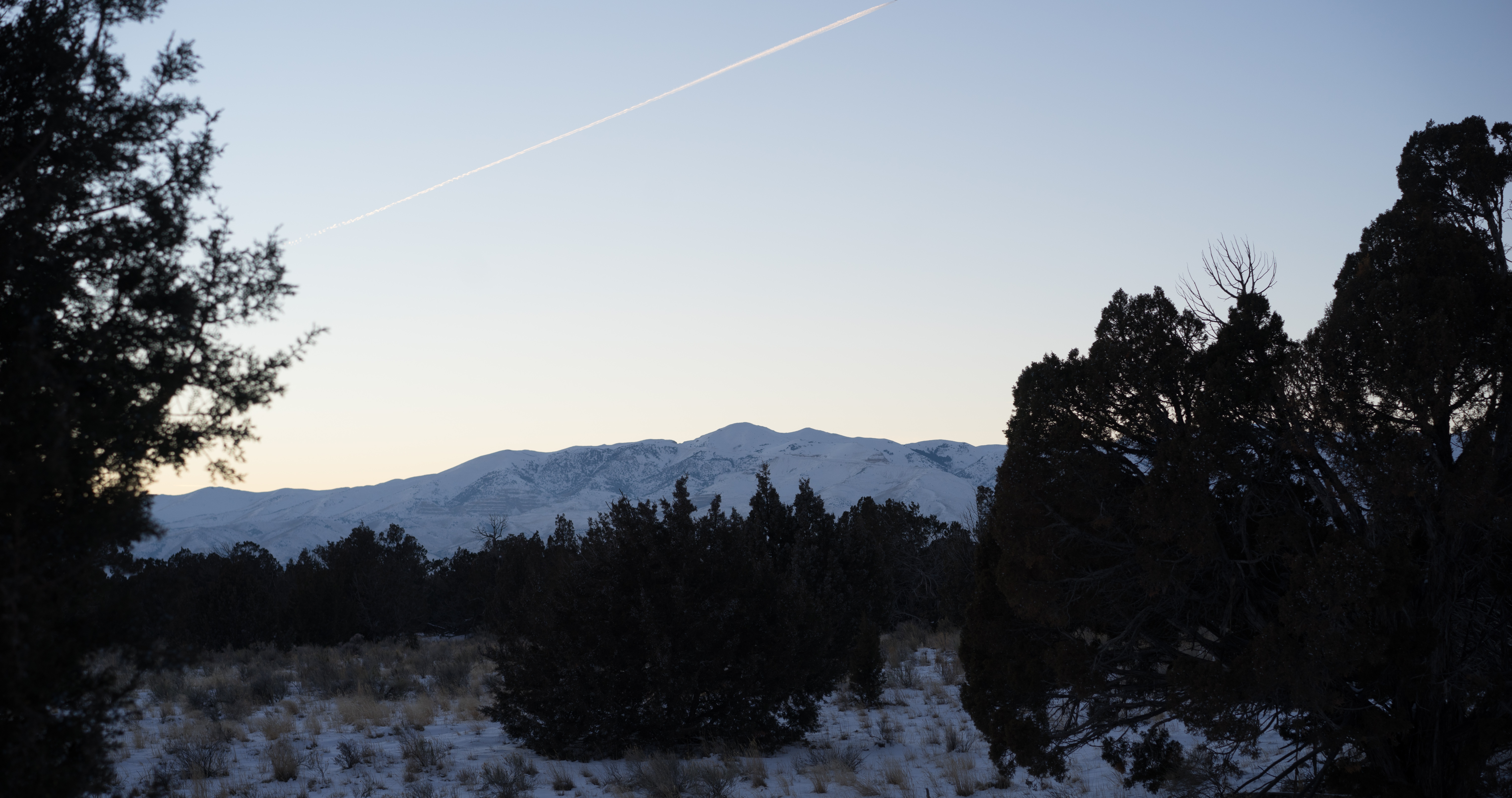
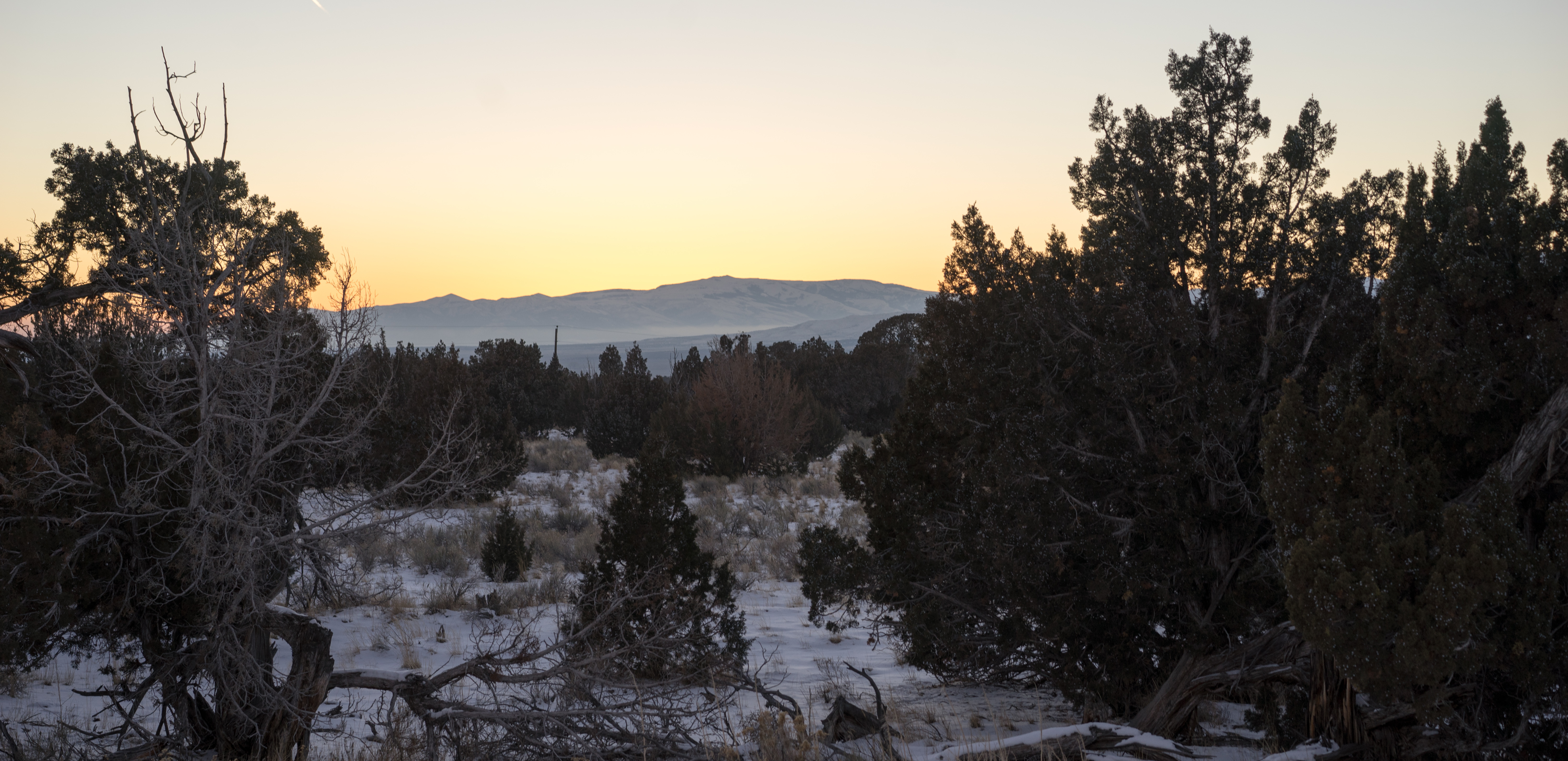
#skyline #Idahome #Idaho

untitled-30-Edit-2.jpg

Closed 2

idaho night stop....
Topographic Map of Heglar Canyon Rd, Idaho, USA
Find elevation by address:

Places near Heglar Canyon Rd, Idaho, USA:
Sublett
1380 S 2300 E
Malta
South 2450 East
S E Rd, Malta, ID, USA
Rockland
S Main St, Rockland, ID, USA
ID-77, Malta, ID, USA
Albion
405c
Cassia County
Elba
S E, Declo, ID, USA
Declo
Thompson Flat Campground
Power County
Twin Lakes Campground
66 S E, Burley, ID, USA
G St, Rupert, ID, USA
Rupert
Recent Searches:
- Elevation of Elwyn Dr, Roanoke Rapids, NC, USA
- Elevation of Congressional Dr, Stevensville, MD, USA
- Elevation of Bellview Rd, McLean, VA, USA
- Elevation of Stage Island Rd, Chatham, MA, USA
- Elevation of Shibuya Scramble Crossing, 21 Udagawacho, Shibuya City, Tokyo -, Japan
- Elevation of Jadagoniai, Kaunas District Municipality, Lithuania
- Elevation of Pagonija rock, Kranto 7-oji g. 8"N, Kaunas, Lithuania
- Elevation of Co Rd 87, Jamestown, CO, USA
- Elevation of Tenjo, Cundinamarca, Colombia
- Elevation of Côte-des-Neiges, Montreal, QC H4A 3J6, Canada