Elevation of S Main St, Rockland, ID, USA
Location: United States > Idaho > Power County > Rockland >
Longitude: -112.87625
Latitude: 42.5732912
Elevation: 1423m / 4669feet
Barometric Pressure: 85KPa
Elevation Map:
Satellite Map:
Related Photos:

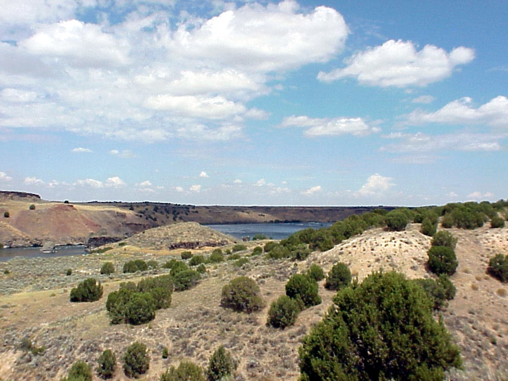
River Crossing
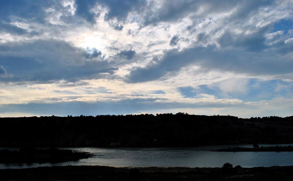
Hiding the Sun

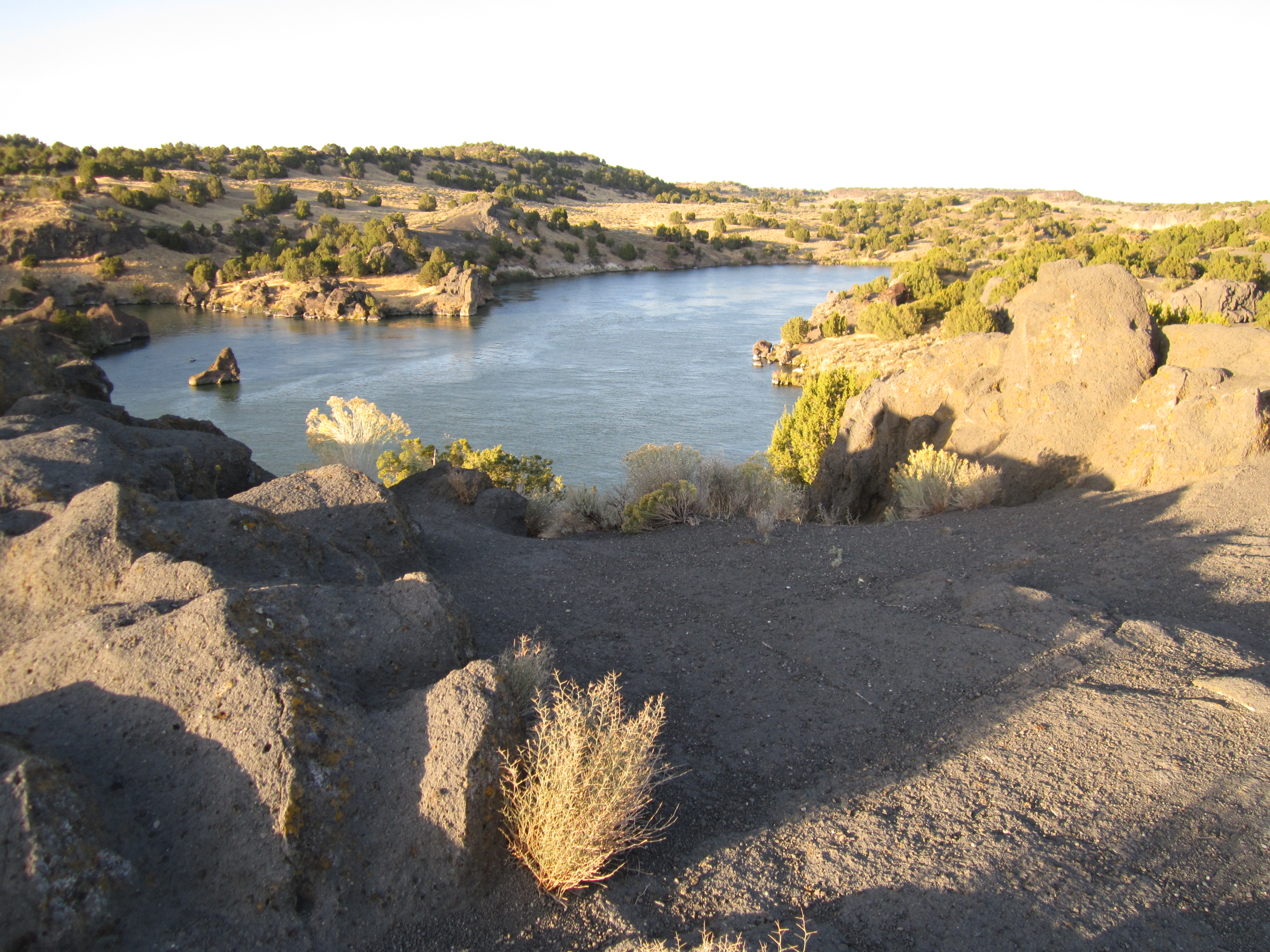
Snake River @ Massacre Rocks State Park 1

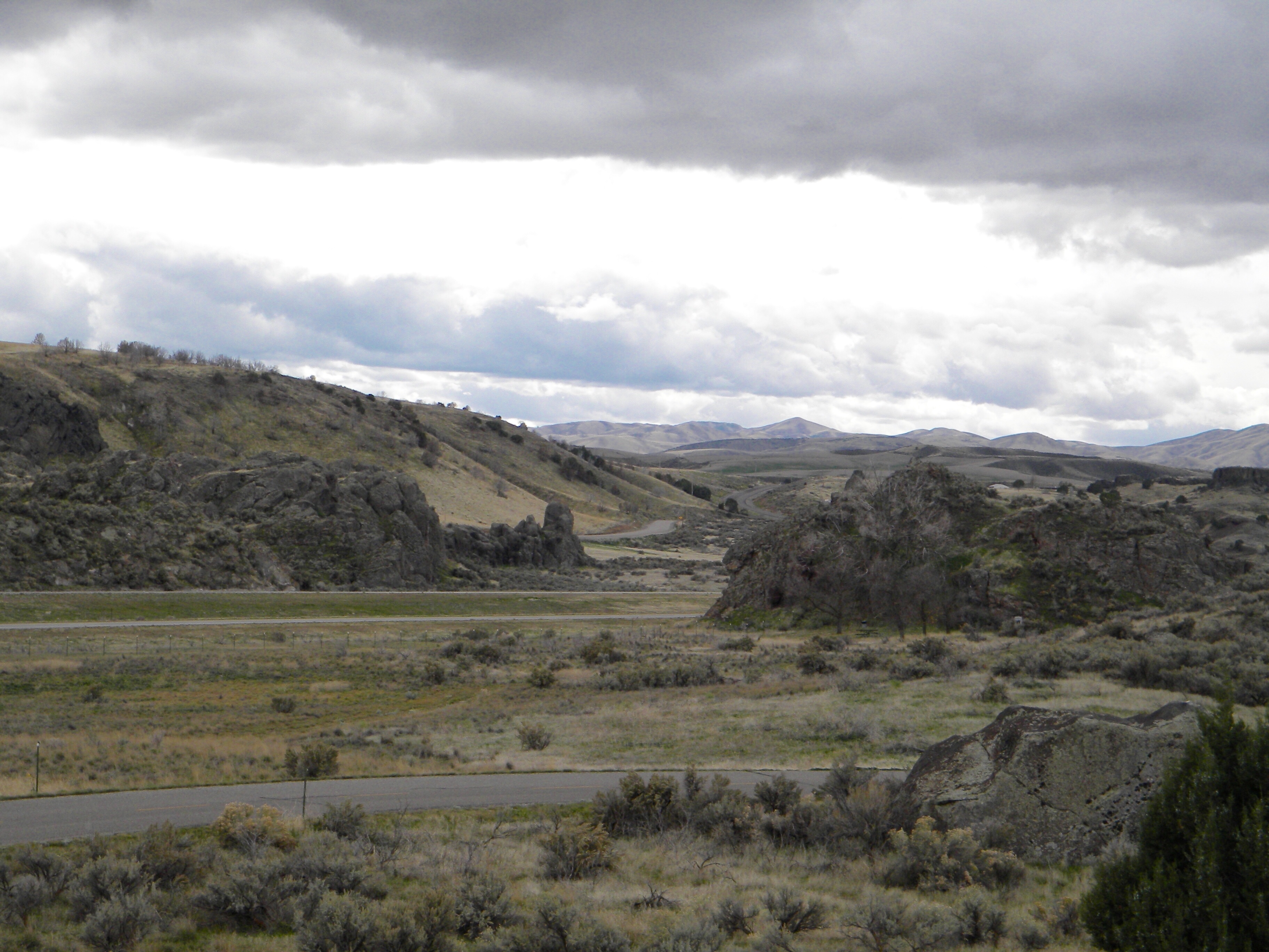
Driving into the stormy blue
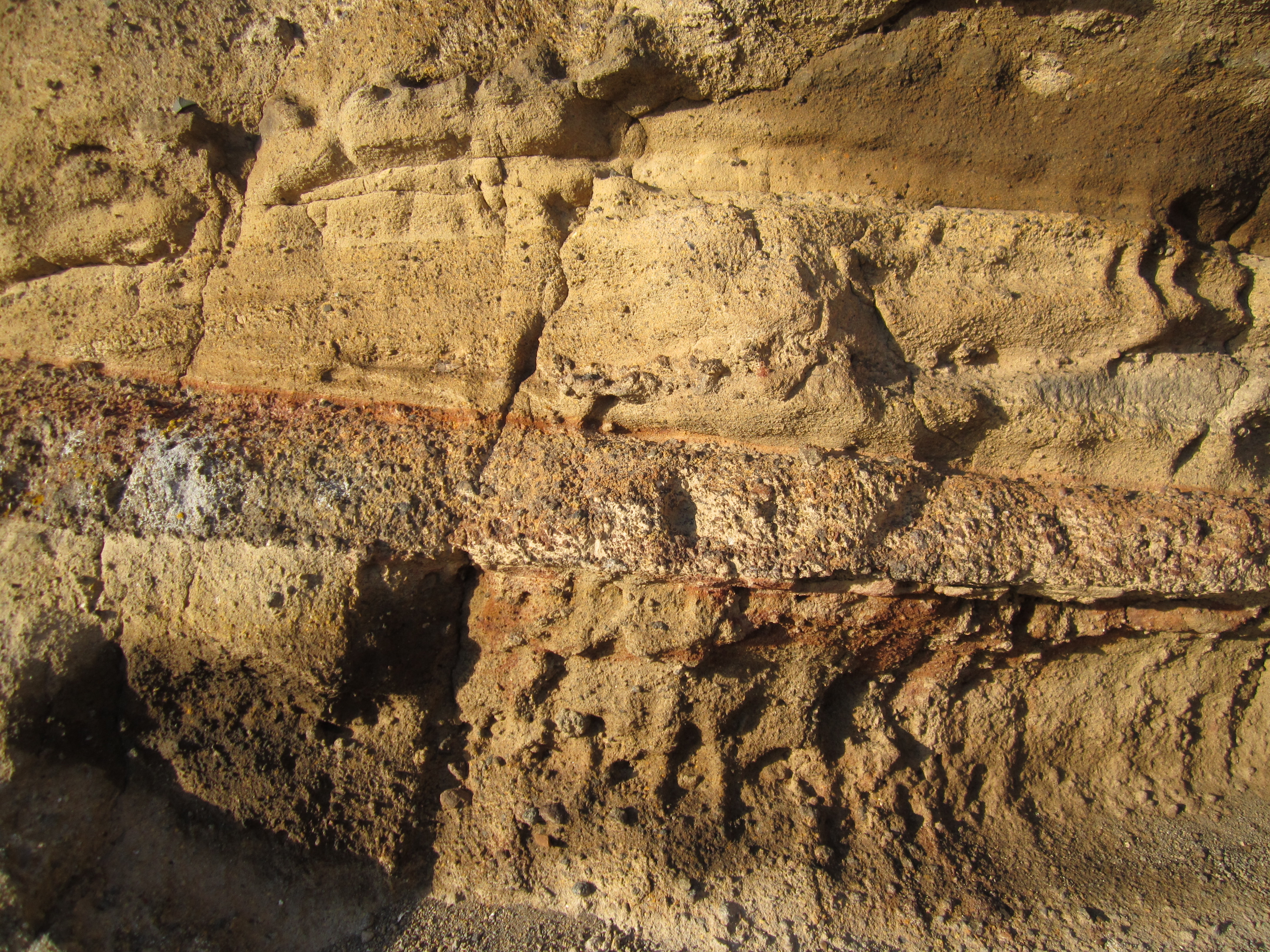
Volcanic Tuff
Snake River at Massacre Rocks State Park | American Falls, ID

the fisherman

snake sunset
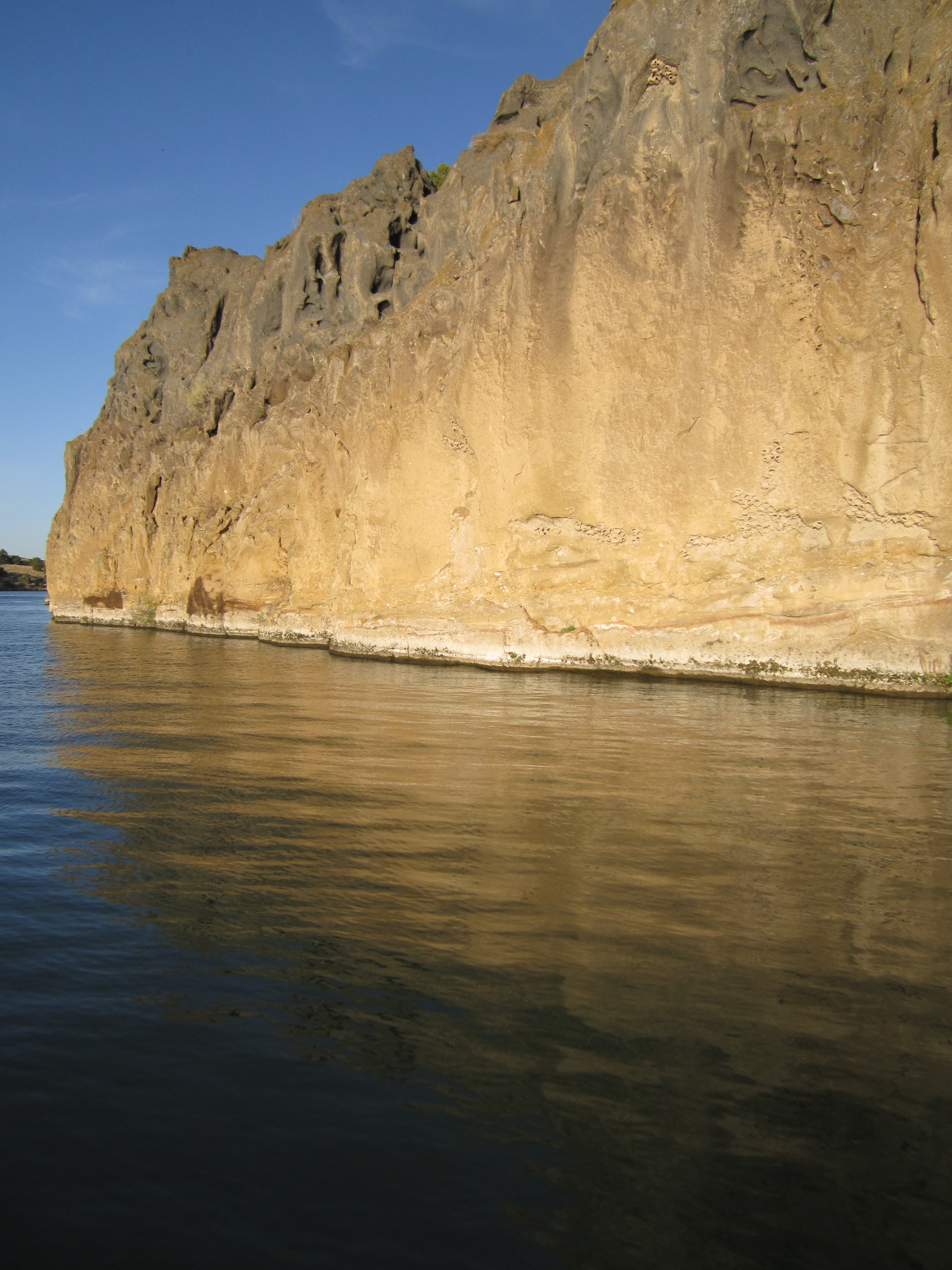
Tuff Bluff
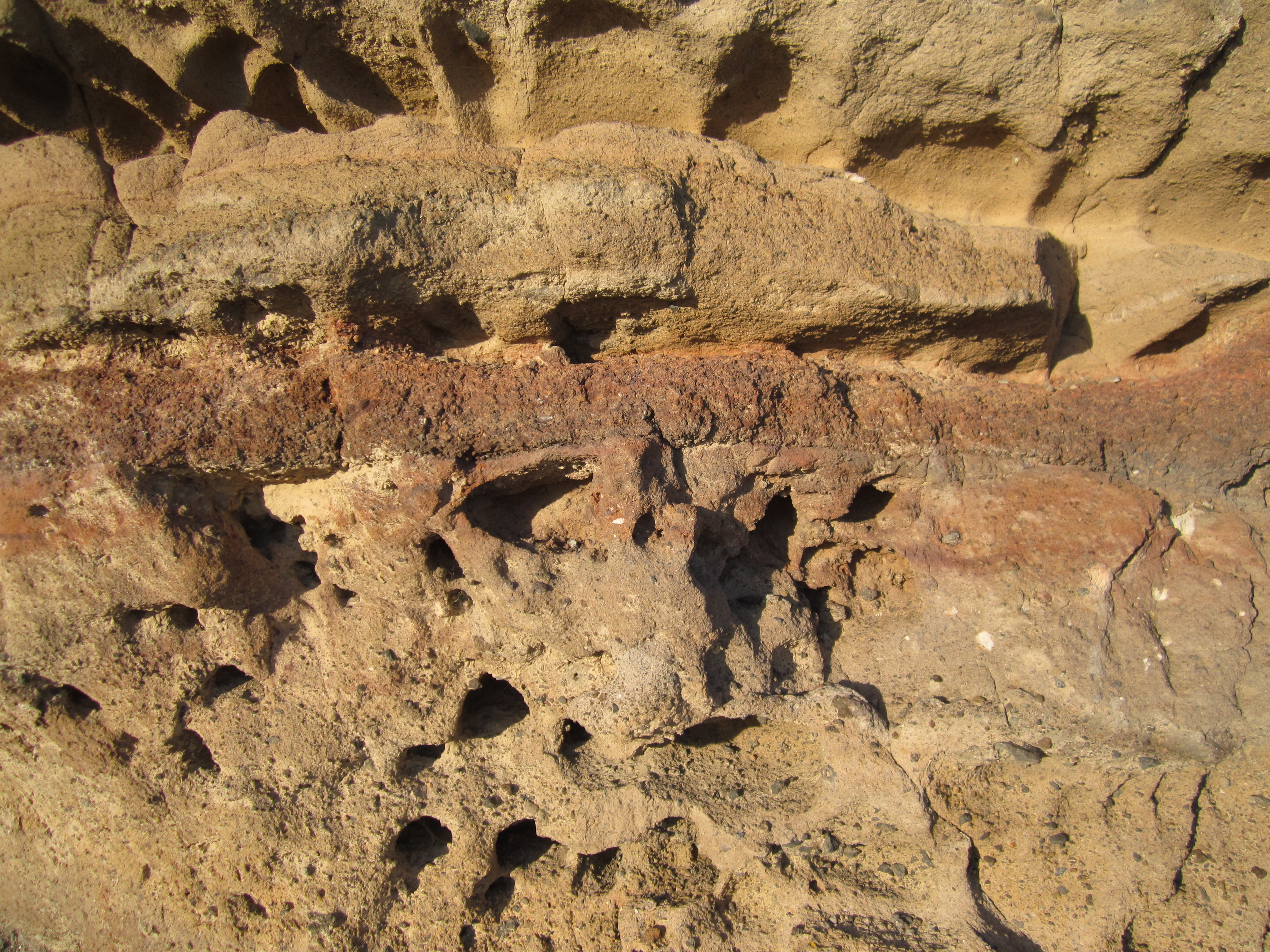
Vocanic Tuff
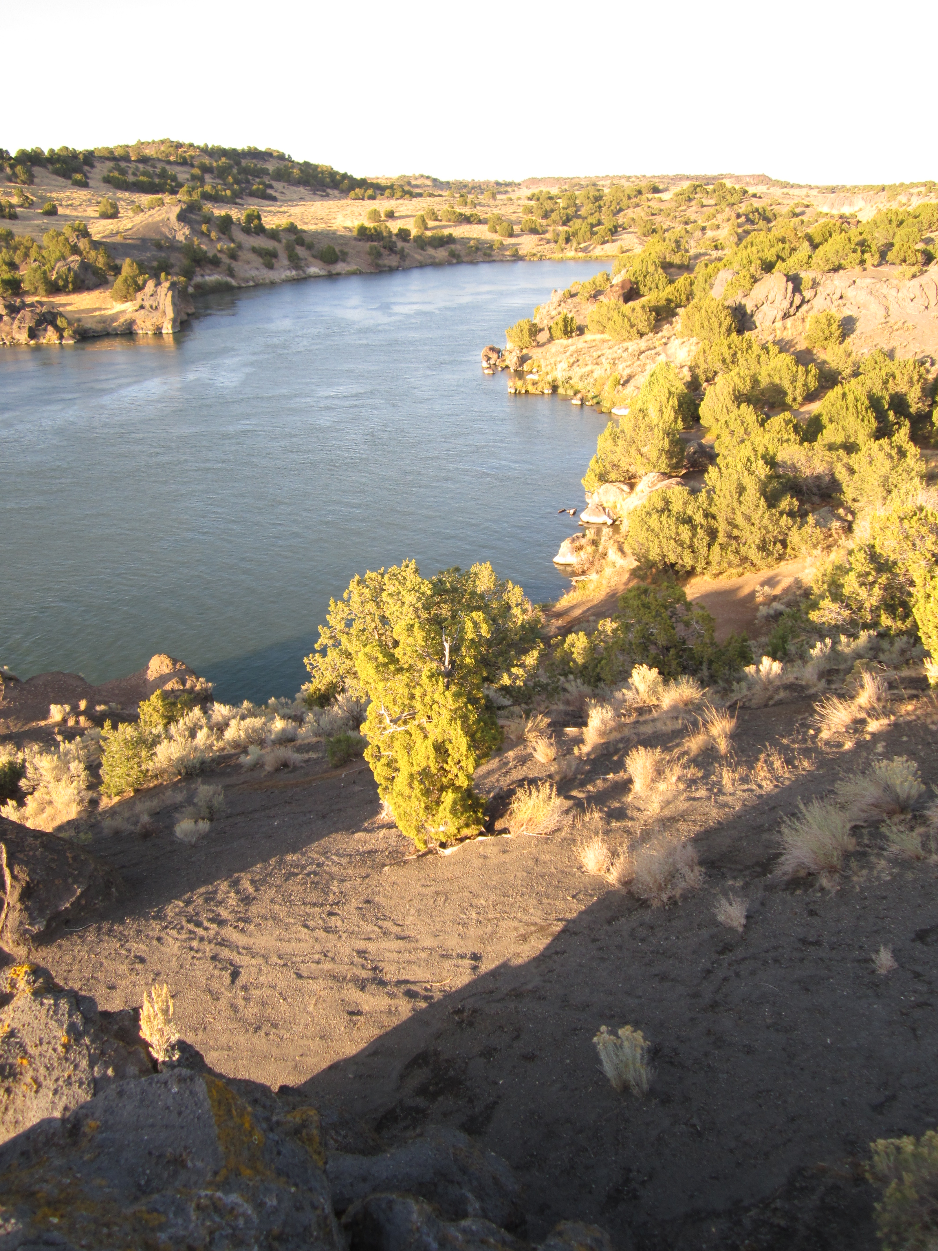
Snake River
Snake River
Snake River
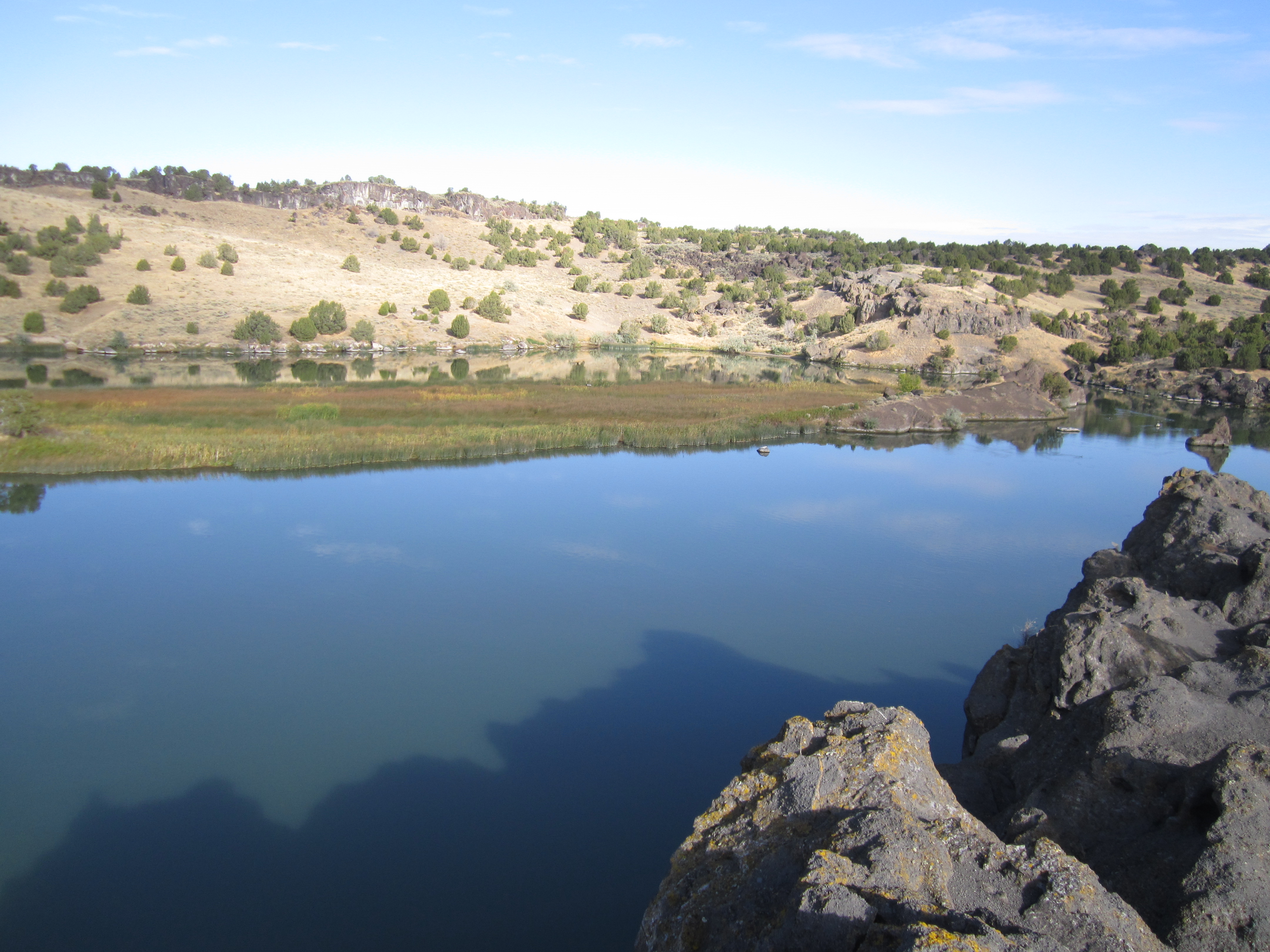
Snake River
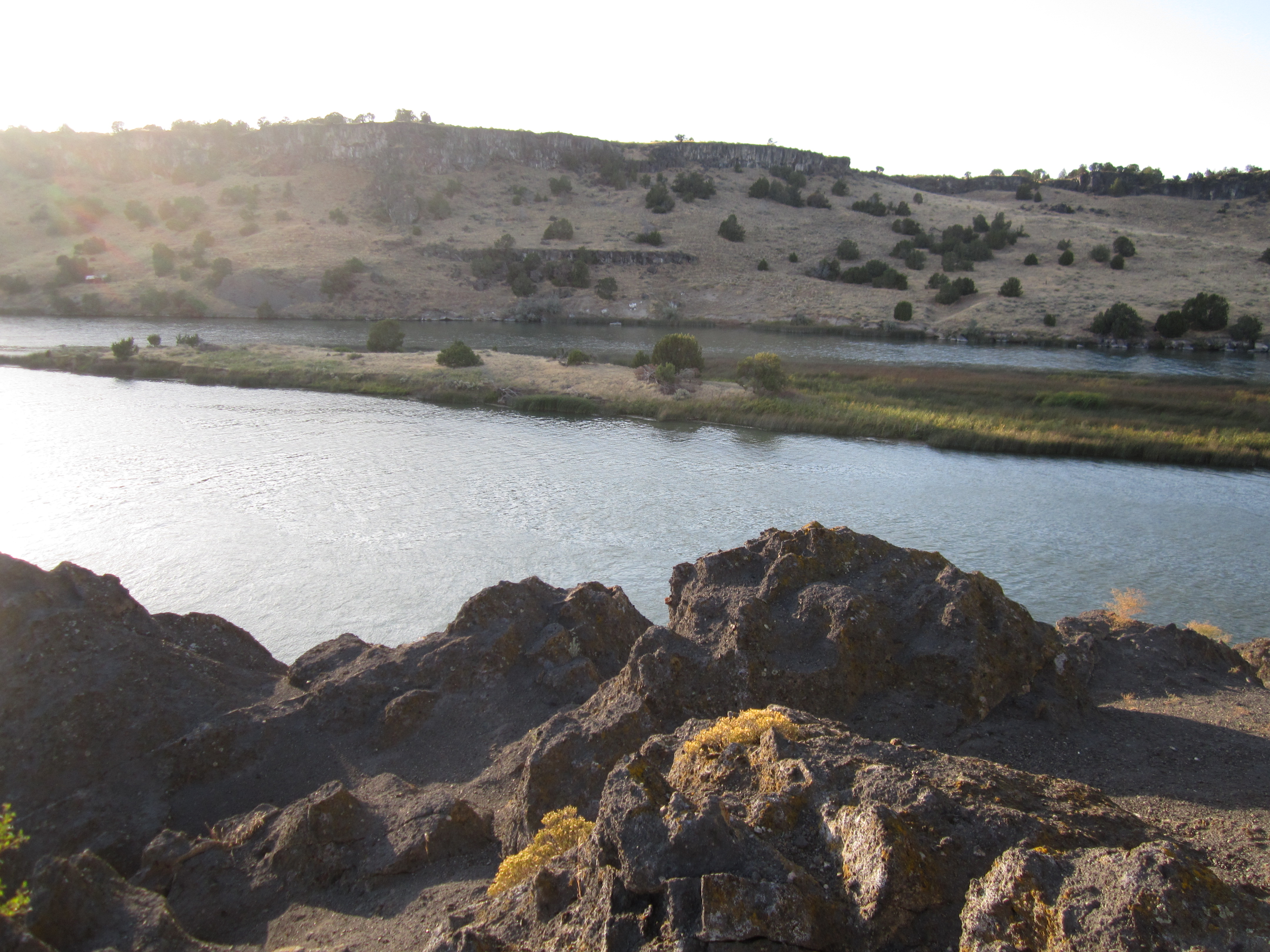
Snake River
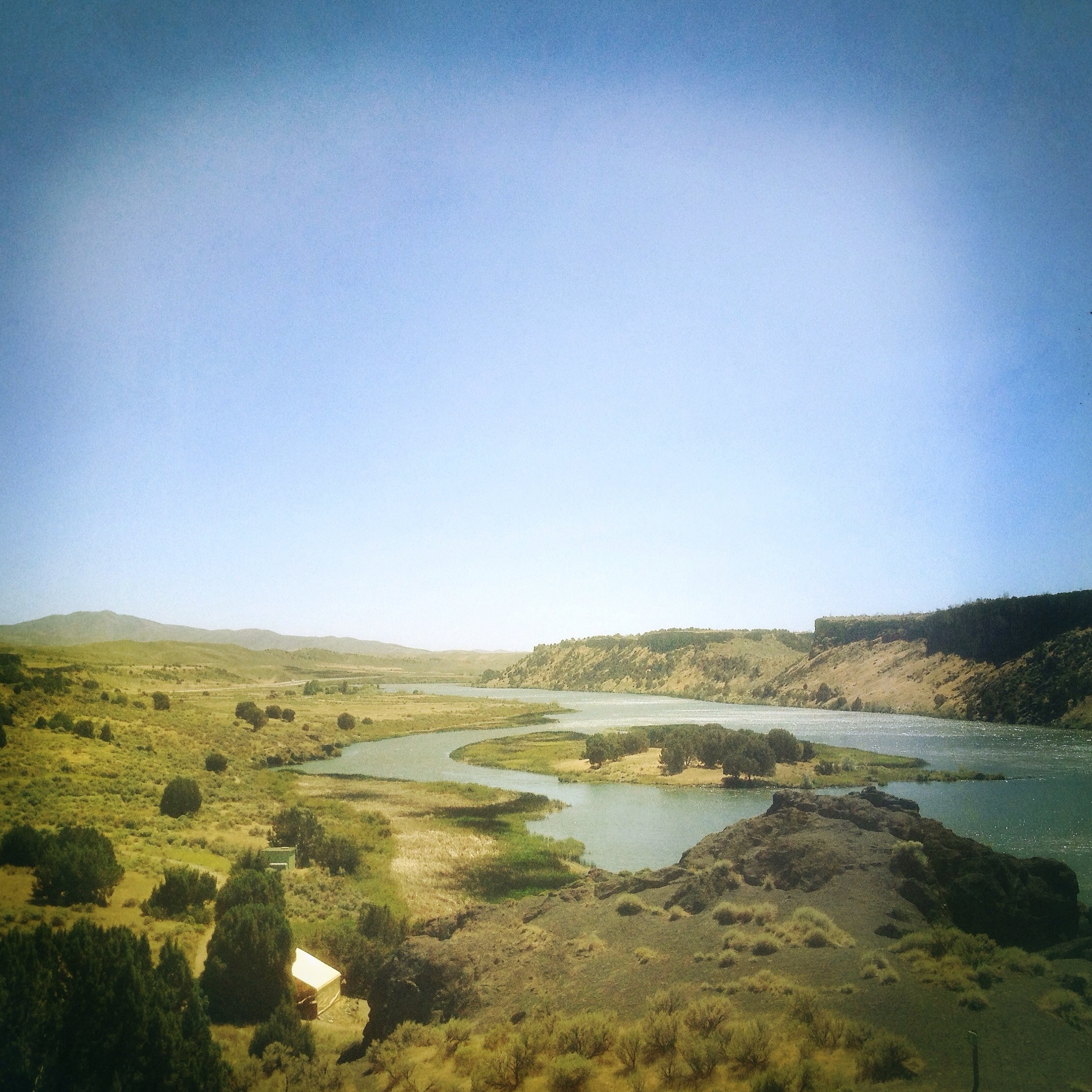
Snake River Valley, West of American Falls, Idaho 01
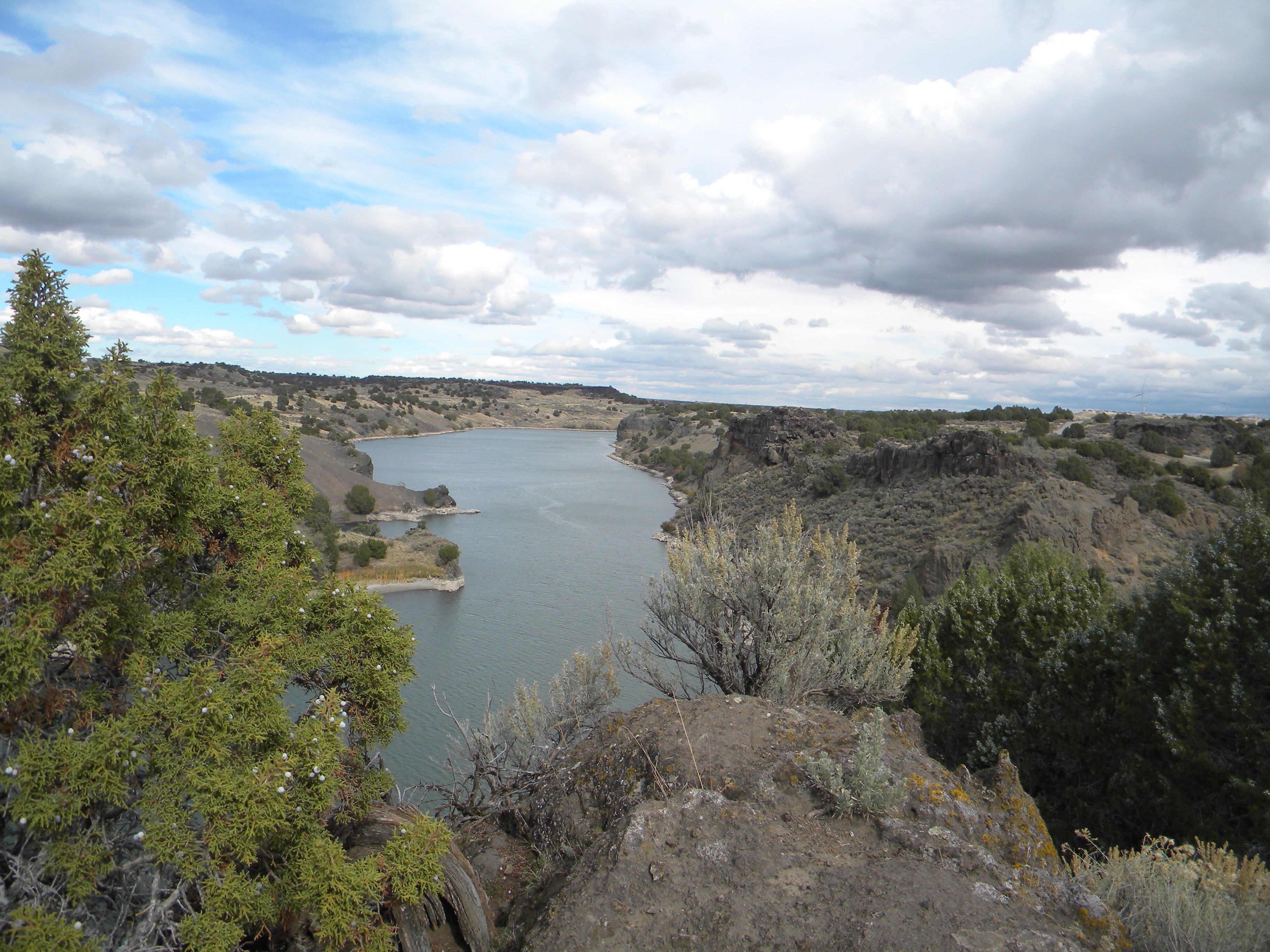
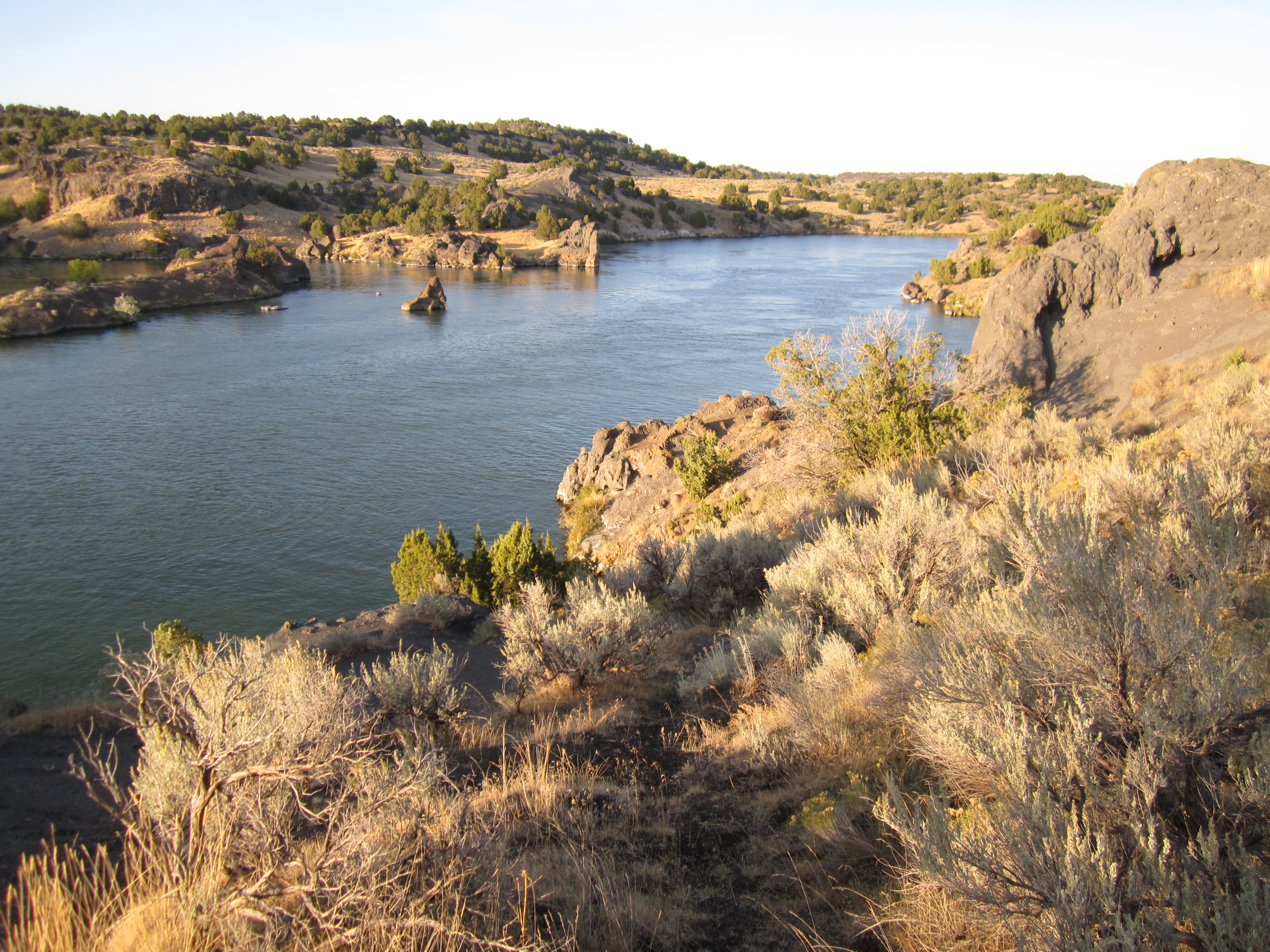
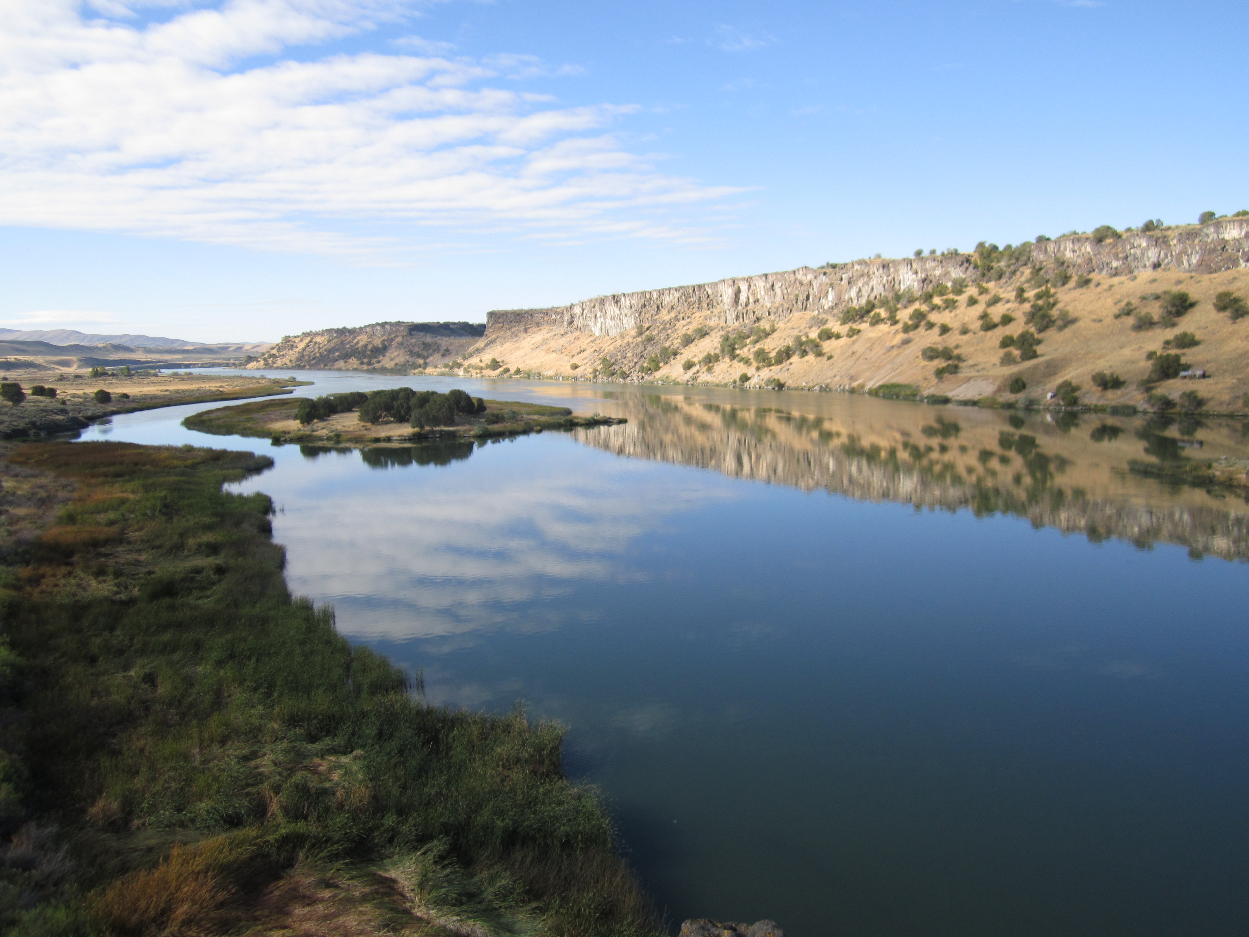
Massacre Rocks State Park Idaho: The Snake River
Massacre Rocks State Park: Idaho
Snake River
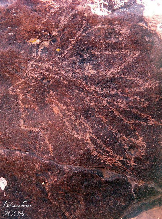
Indian carving
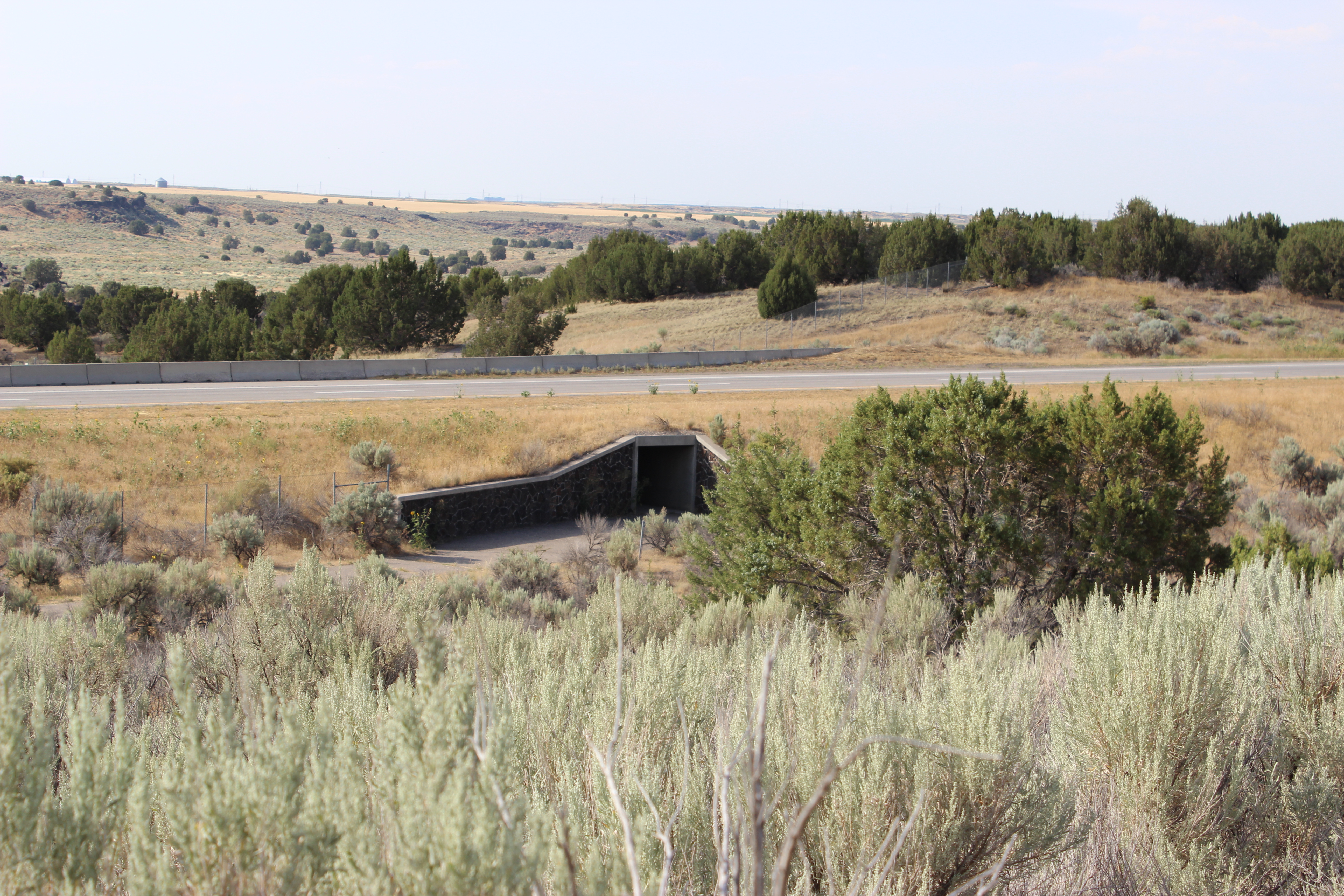
Oregon Trail remains
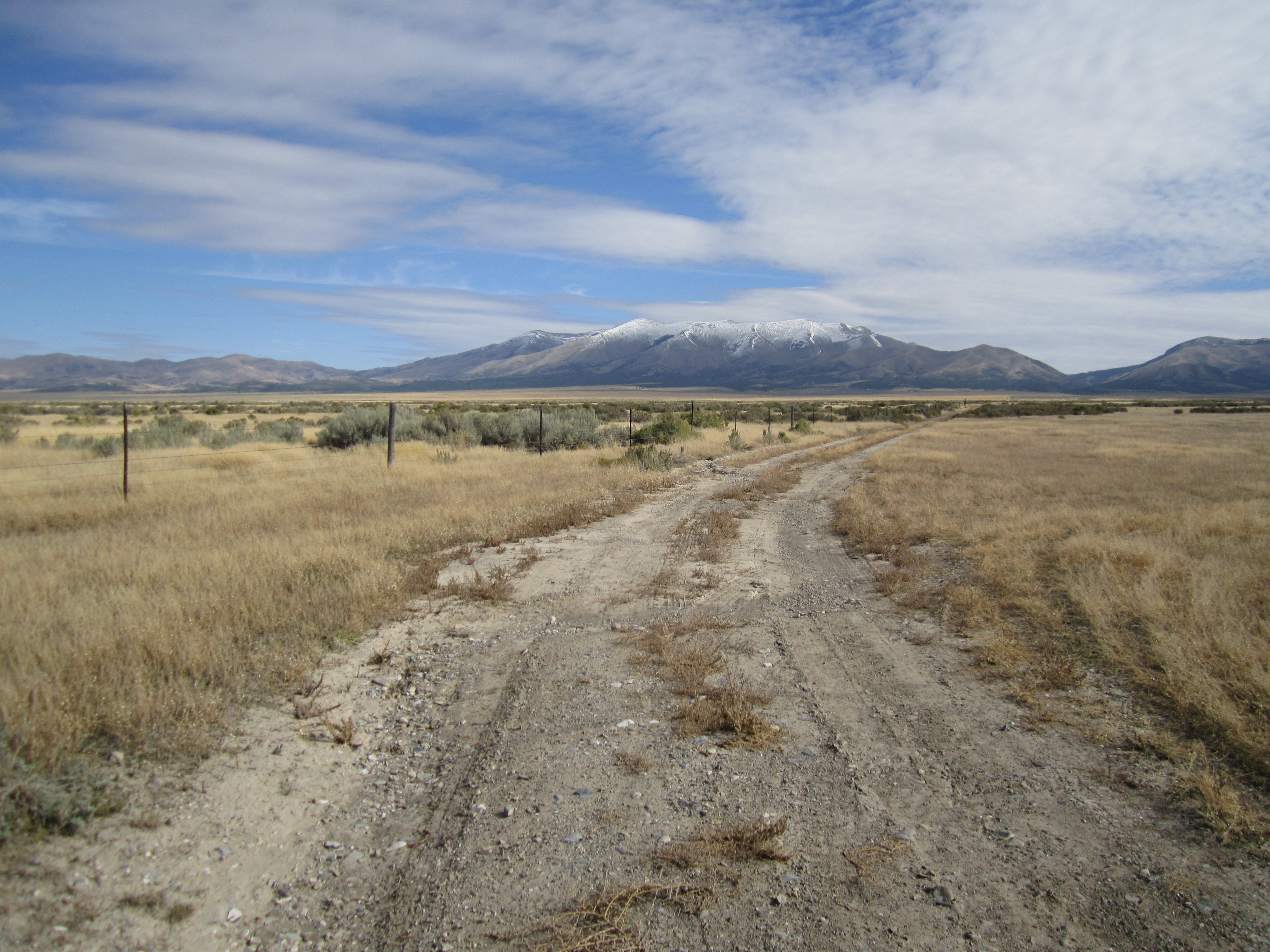
Black Pine Mountains
Topographic Map of S Main St, Rockland, ID, USA
Find elevation by address:

Places near S Main St, Rockland, ID, USA:
Rockland
Power County
Heglar Canyon Rd, Idaho, USA
Sublett
Aberdeen
S W, Aberdeen, ID, USA
W S, Sterling, ID, USA
Sterling
Oneida County
1380 S 2300 E
South 2450 East
Springfield
W S, Springfield, ID, USA
Malta
S E Rd, Malta, ID, USA
Pingree
405c
S W, Pingree, ID, USA
ID-77, Malta, ID, USA
ID-39, Blackfoot, ID, USA
Recent Searches:
- Elevation of Leguwa, Nepal
- Elevation of County Rd, Enterprise, AL, USA
- Elevation of Kolchuginsky District, Vladimir Oblast, Russia
- Elevation of Shustino, Vladimir Oblast, Russia
- Elevation of Lampiasi St, Sarasota, FL, USA
- Elevation of Elwyn Dr, Roanoke Rapids, NC, USA
- Elevation of Congressional Dr, Stevensville, MD, USA
- Elevation of Bellview Rd, McLean, VA, USA
- Elevation of Stage Island Rd, Chatham, MA, USA
- Elevation of Shibuya Scramble Crossing, 21 Udagawacho, Shibuya City, Tokyo -, Japan