Elevation of US-26, Blackfoot, ID, USA
Location: United States > Idaho > Blackfoot >
Longitude: -112.55157
Latitude: 43.307002
Elevation: 1407m / 4616feet
Barometric Pressure: 86KPa
Elevation Map:
Satellite Map:
Related Photos:
On the Snake River Plain. A view to the east (vicinity of Blackfoot in far distance)
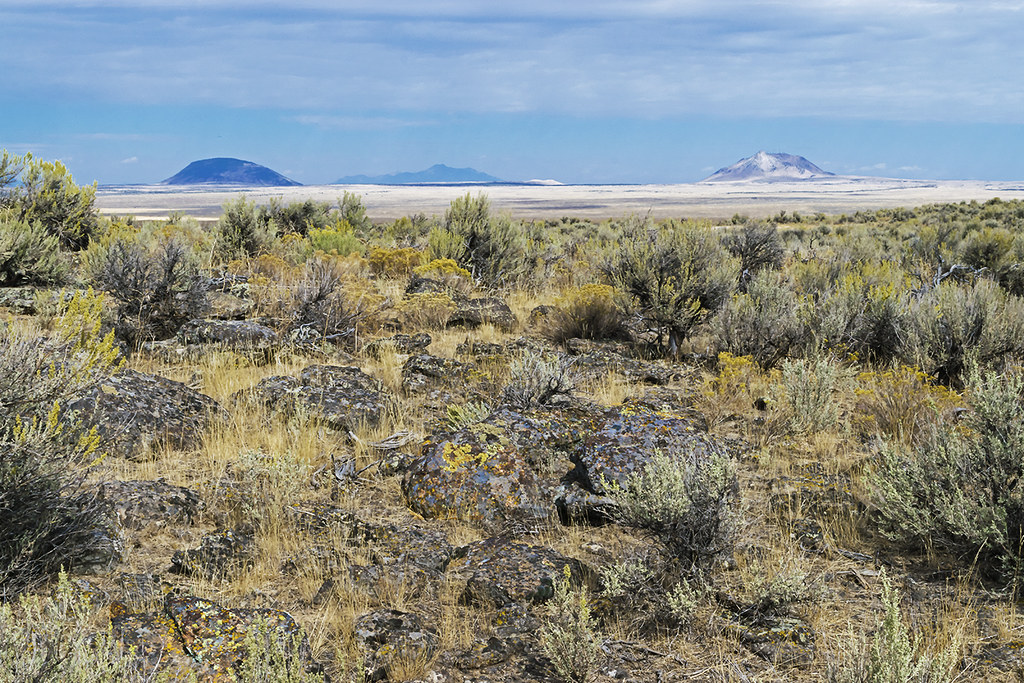
Early autumn on the Arco (the Big Desert). Snake River Plain
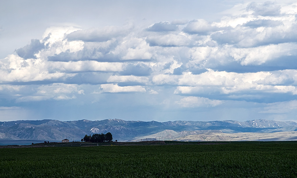
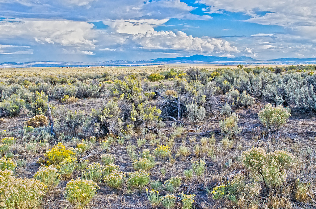
Farm field and mountains near Blackfoot, Idaho
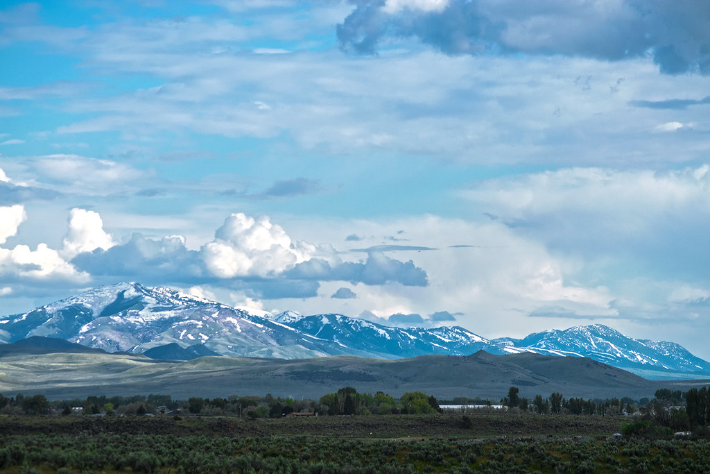
The Portneuf Range (telephoto) in late May 2017
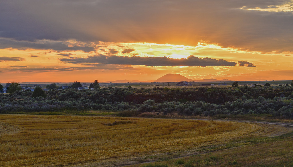
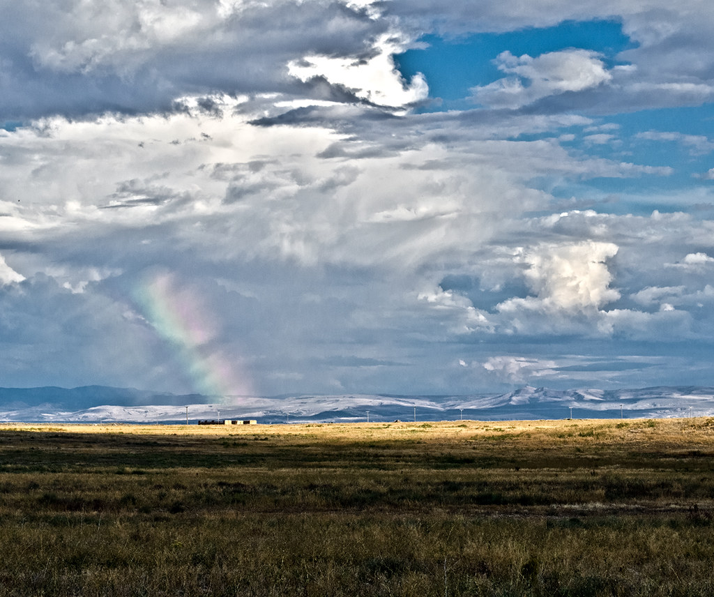
Sunset on the Snake River Plain near Blackfoot, ID
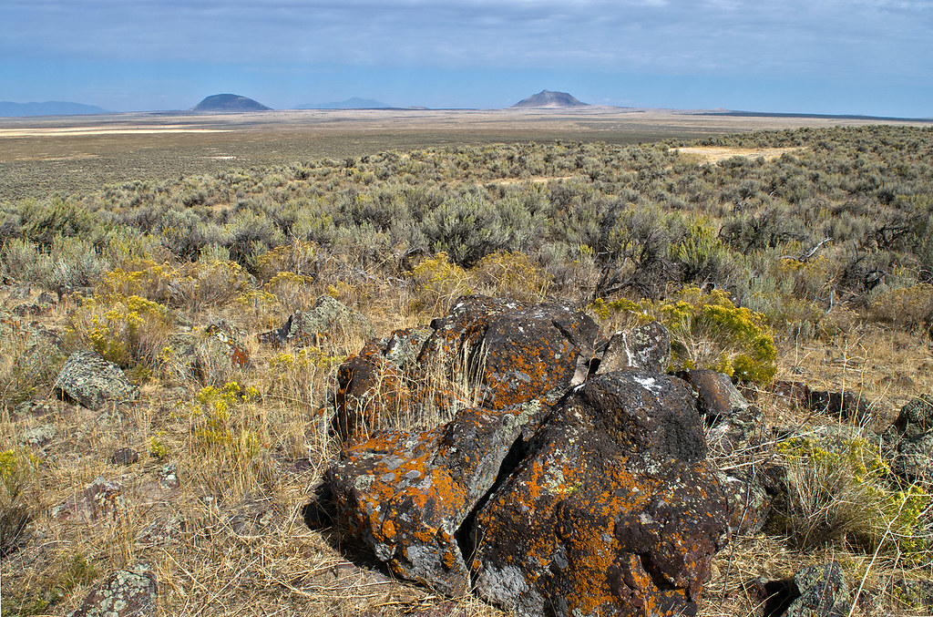
On the Snake River Plain. "Arco" or "Big" Desert.
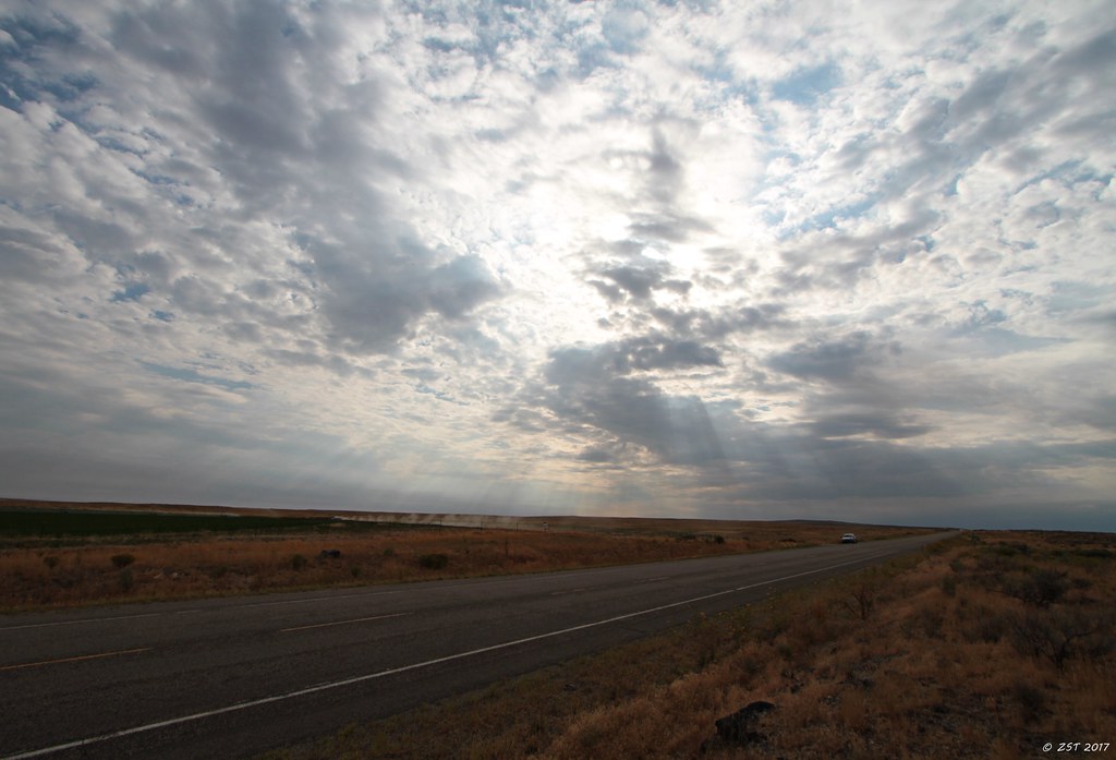
Morning Sunburst
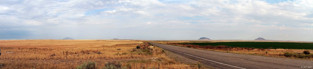
Atomic Panorama
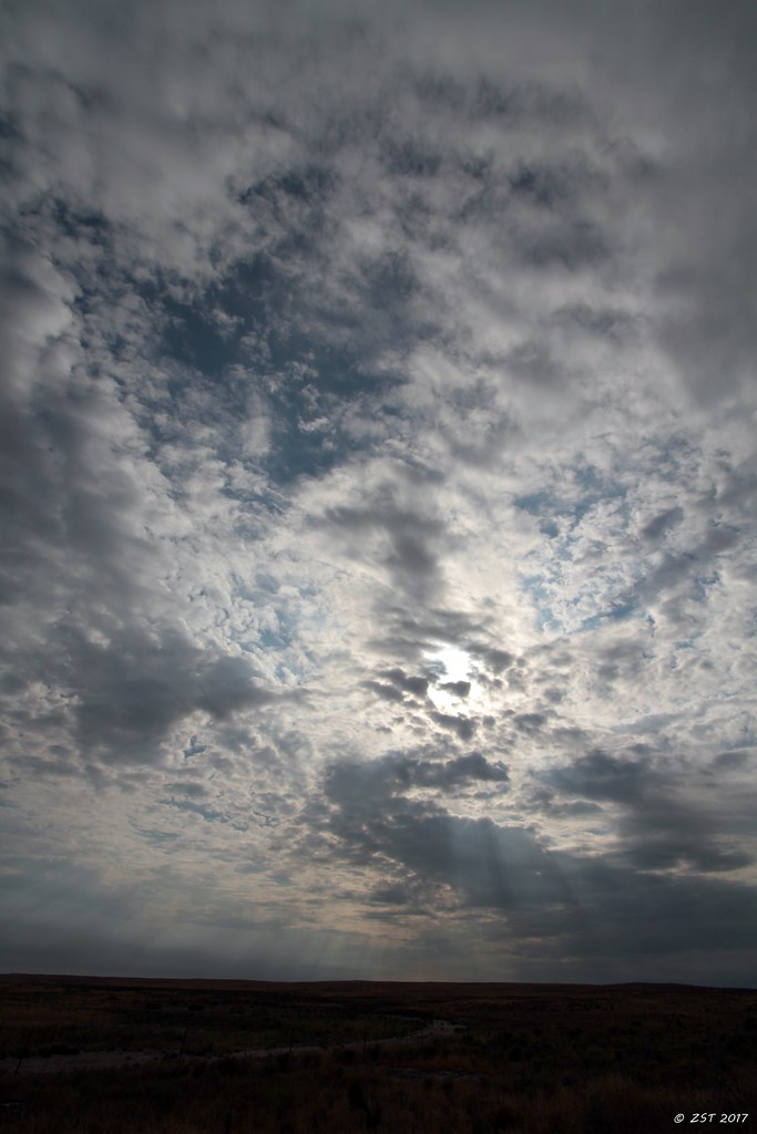
Morning Sunburst
Looking east from the Snake River Plain toward the distant Blackfoot mountain range. September
Topographic Map of US-26, Blackfoot, ID, USA
Find elevation by address:

Places near US-26, Blackfoot, ID, USA:
273 Sunset Rd
U.s. Highway 26
ID-39, Blackfoot, ID, USA
Taber Rd, Blackfoot, ID, USA
W S, Blackfoot, ID, USA
S W, Pingree, ID, USA
Pingree
W S, Springfield, ID, USA
Springfield
Sterling
W S, Sterling, ID, USA
U.s. Highway 26
S W, Aberdeen, ID, USA
Aberdeen
Power County
Butte City, ID, USA
S Main St, Rockland, ID, USA
Rockland
Craters Of The Moon National Monument & Preserve
Heglar Canyon Rd, Idaho, USA
Recent Searches:
- Elevation of Lagasgasan, X+CQH, Tiaong, Quezon, Philippines
- Elevation of Rojo Ct, Atascadero, CA, USA
- Elevation of Flagstaff Drive, Flagstaff Dr, North Carolina, USA
- Elevation of Avery Ln, Lakeland, FL, USA
- Elevation of Woolwine, VA, USA
- Elevation of Lumagwas Diversified Farmers Multi-Purpose Cooperative, Lumagwas, Adtuyon, RV32+MH7, Pangantucan, Bukidnon, Philippines
- Elevation of Homestead Ridge, New Braunfels, TX, USA
- Elevation of Orchard Road, Orchard Rd, Marlborough, NY, USA
- Elevation of 12 Hutchinson Woods Dr, Fletcher, NC, USA
- Elevation of Holloway Ave, San Francisco, CA, USA