Elevation of Spring Creek Township, AR, USA
Location: United States > Arkansas > Phillips County >
Longitude: -90.772297
Latitude: 34.528253
Elevation: 54m / 177feet
Barometric Pressure: 101KPa
Elevation Map:
Satellite Map:
Related Photos:
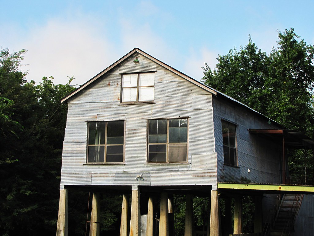
IMG_2860

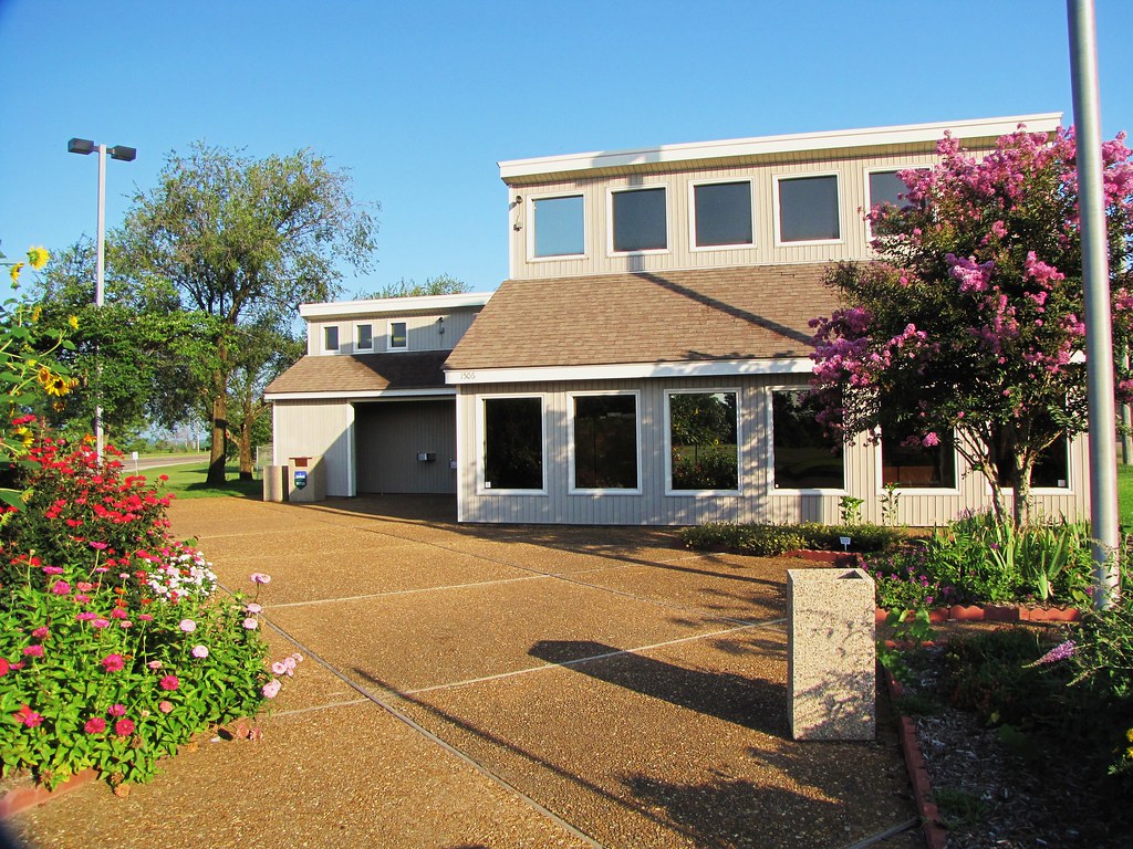
IMG_2861

IMG_2855
IMG_2852

IMG_2856

IMG_2851

IMG_2850
Big Creek
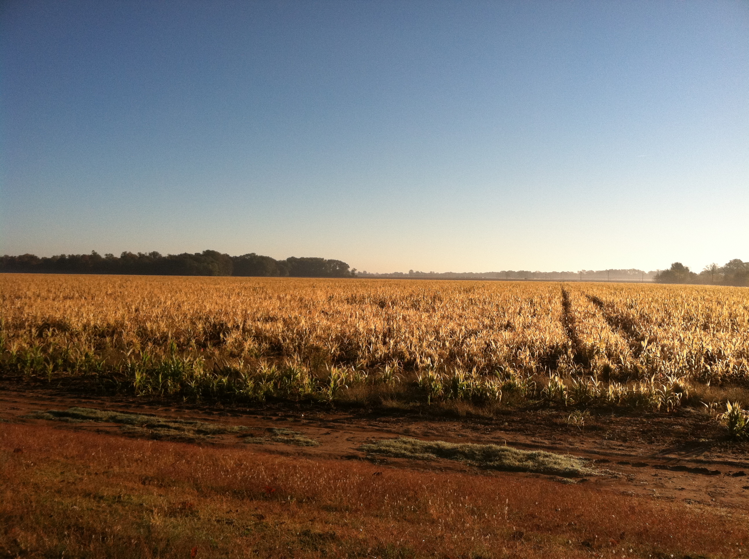
100-3334
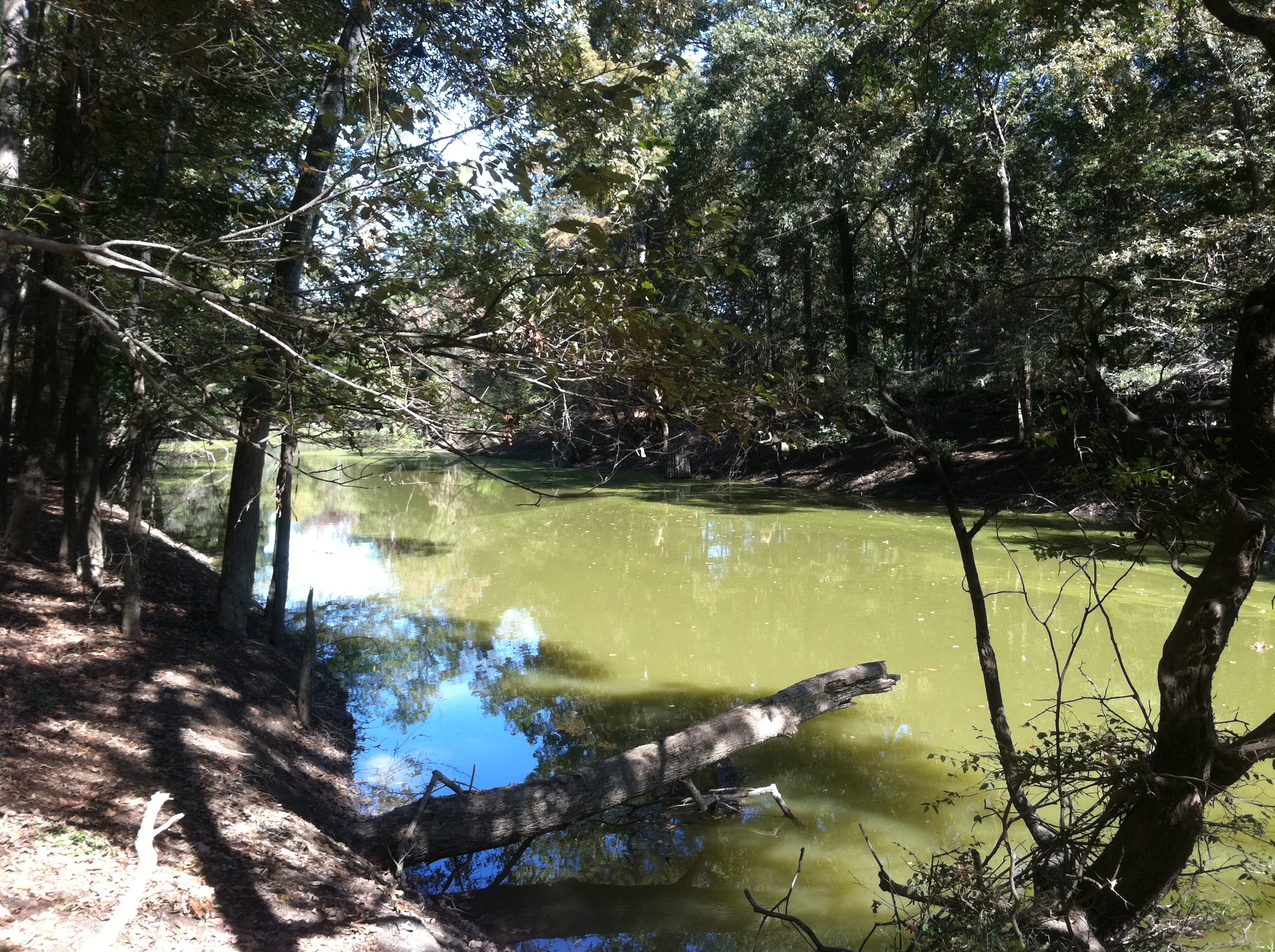
Big Creek
Big Creek
Big Creek
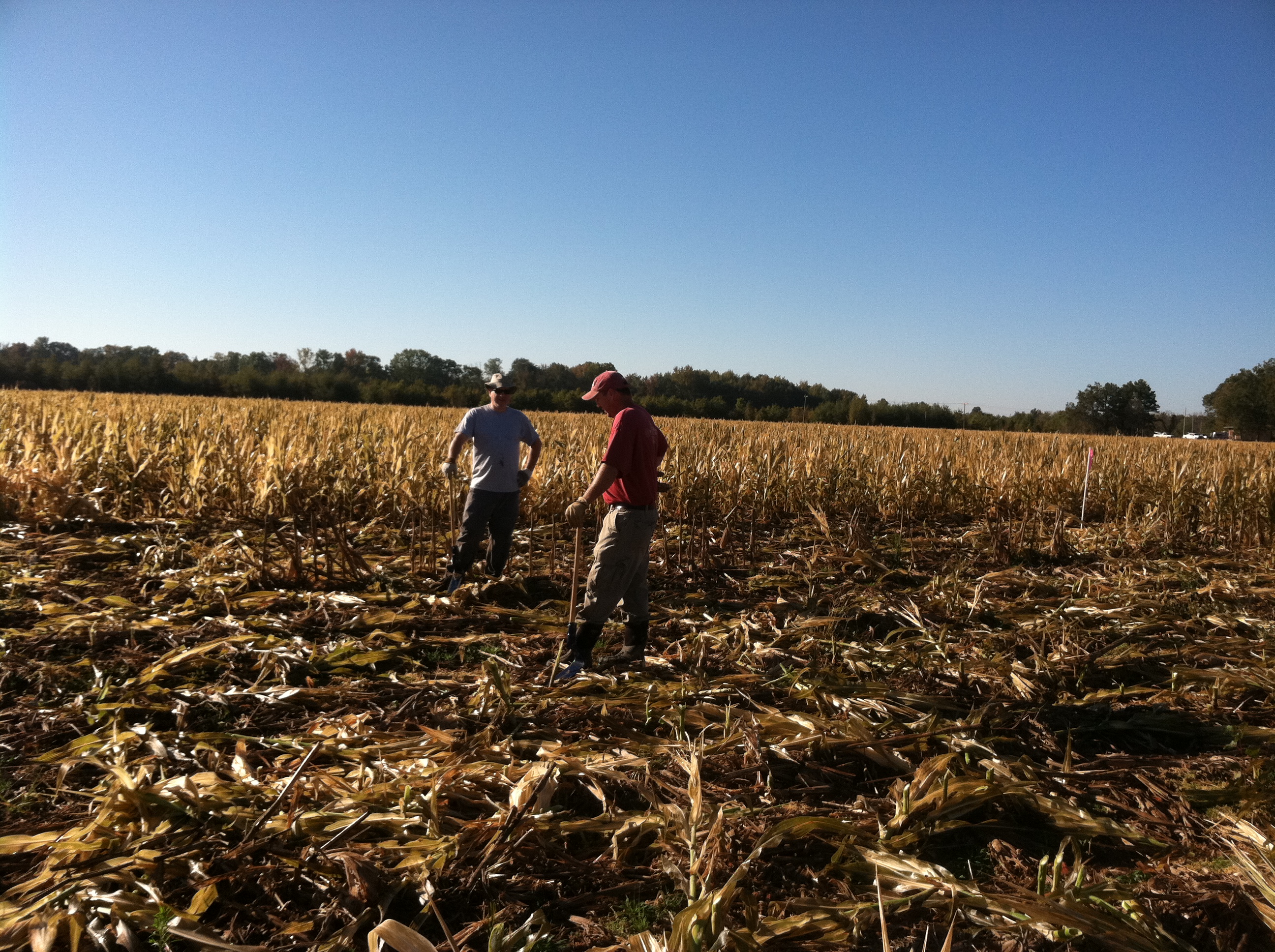
Busy Day
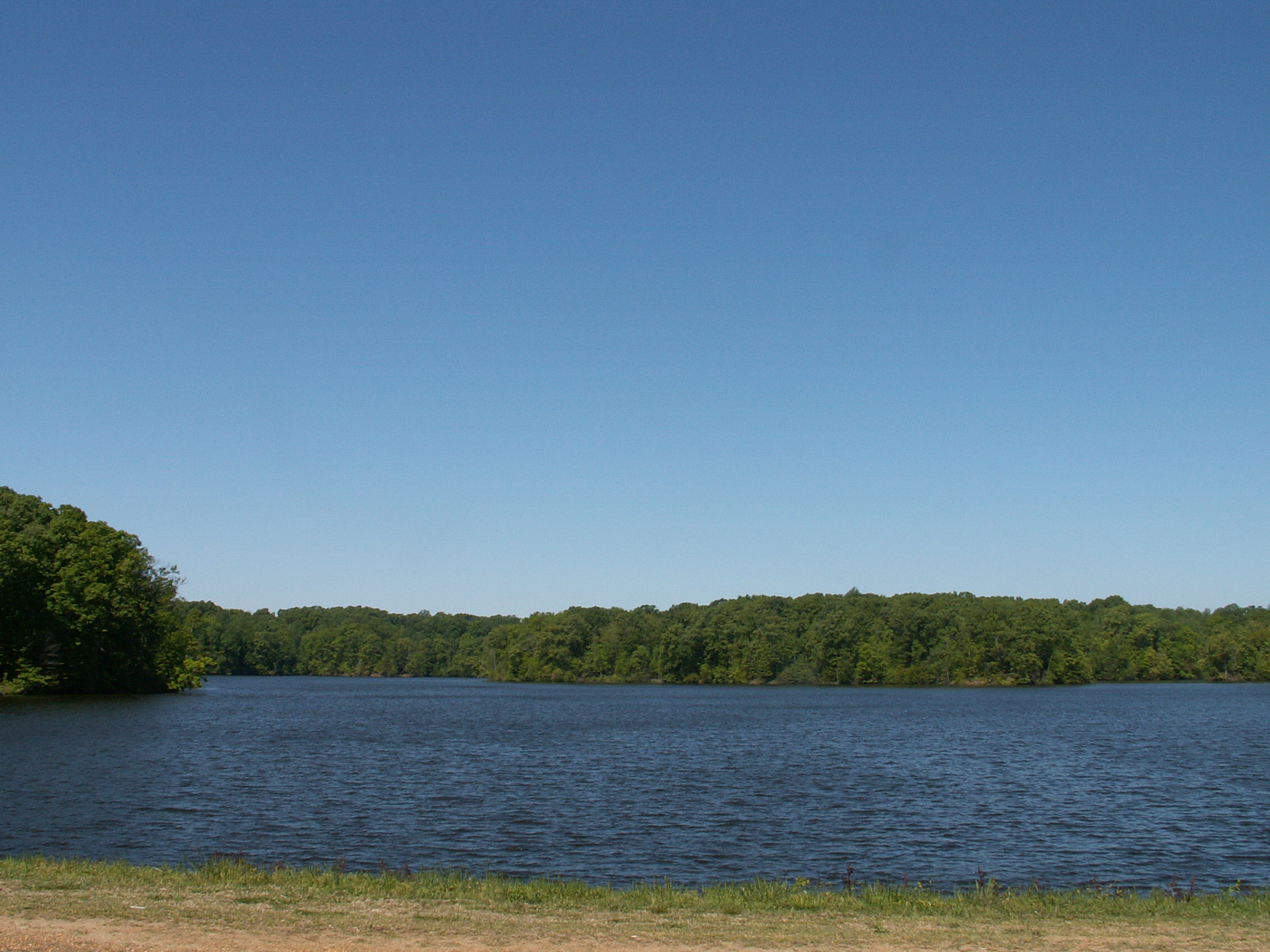
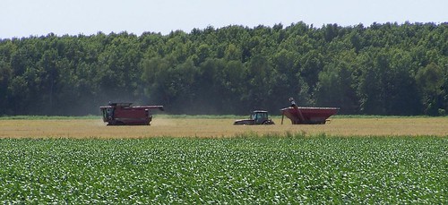
Storm Creek Lake
Topographic Map of Spring Creek Township, AR, USA
Find elevation by address:

Places in Spring Creek Township, AR, USA:
Places near Spring Creek Township, AR, USA:
State Hwy, Poplar Grove, AR, USA
Hornor Township
AR-, Lexa, AR, USA
West Helena
Phillips County
Cleburne Township
Phillips Road 311
Bps
244 Bart St
AR-, Lexa, AR, USA
West Helena
Walden Ridge
D'anna Place
Marvell
W Main, Marvell, AR, USA
1608 College
Martin Luther King Jr Dr, Helena, AR, USA
St. Francis Township
Helena-west Helena
Tappan Township
Recent Searches:
- Elevation of Corso Fratelli Cairoli, 35, Macerata MC, Italy
- Elevation of Tallevast Rd, Sarasota, FL, USA
- Elevation of 4th St E, Sonoma, CA, USA
- Elevation of Black Hollow Rd, Pennsdale, PA, USA
- Elevation of Oakland Ave, Williamsport, PA, USA
- Elevation of Pedrógão Grande, Portugal
- Elevation of Klee Dr, Martinsburg, WV, USA
- Elevation of Via Roma, Pieranica CR, Italy
- Elevation of Tavkvetili Mountain, Georgia
- Elevation of Hartfords Bluff Cir, Mt Pleasant, SC, USA