Elevation of AR-, Lexa, AR, USA
Location: United States > Arkansas > Phillips County > Cleburne Township >
Longitude: -90.655865
Latitude: 34.5880041
Elevation: 89m / 292feet
Barometric Pressure: 100KPa
Elevation Map:
Satellite Map:
Related Photos:

old skool school!!
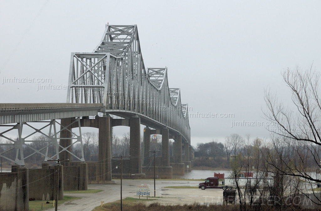
Helena Bridge - from Arkansas
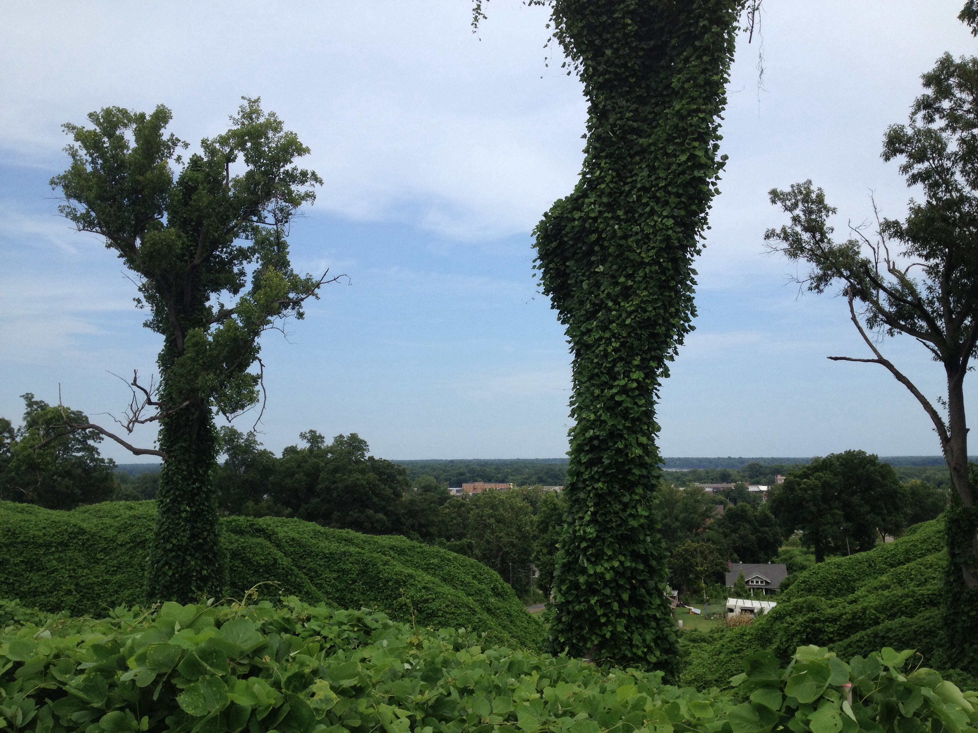
View from Crowley's Ridge
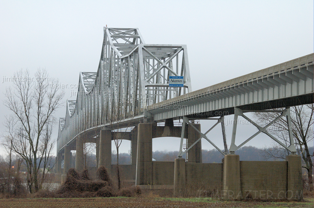
Helena Bridge - from Mississippi
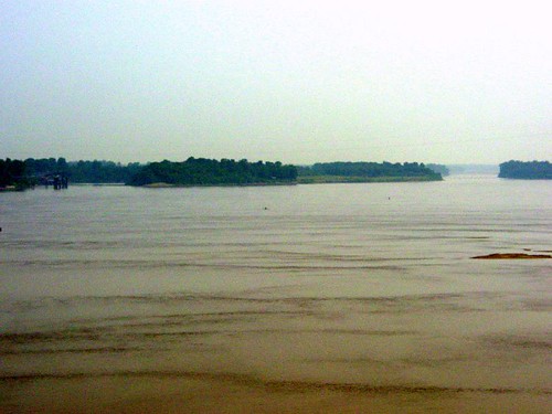
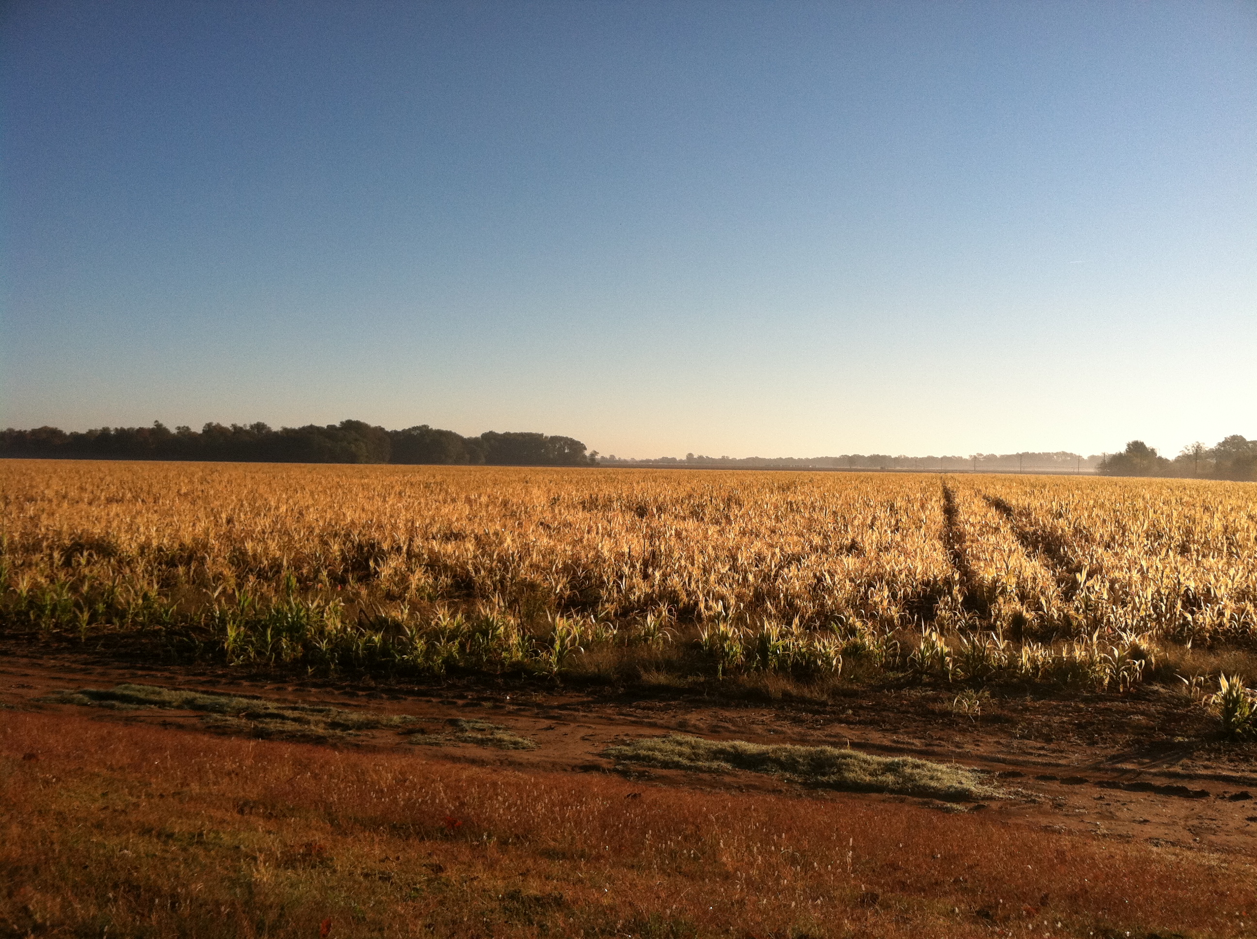
Mississippi River at Helena, AR
cocacolabottlingco-010

View from my perch....

Frozen Swamp
Big Creek

100-3334
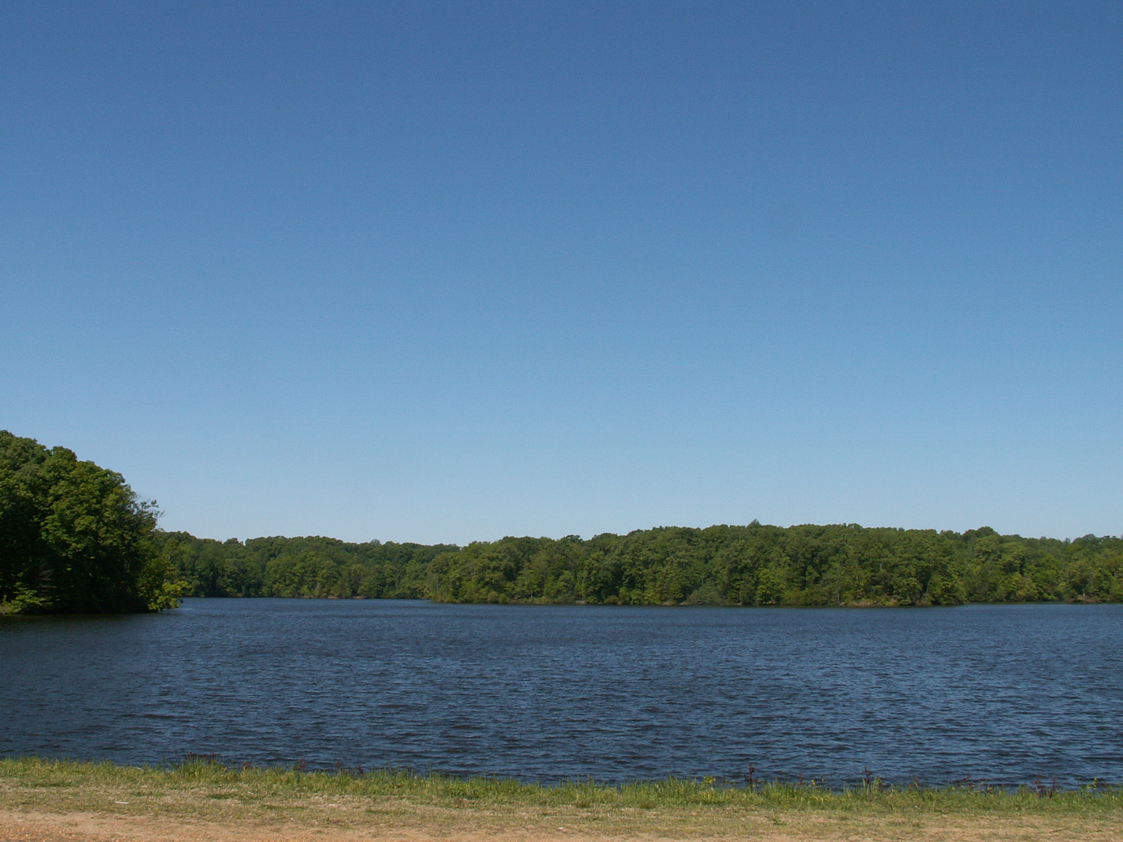
Storm Creek Lake
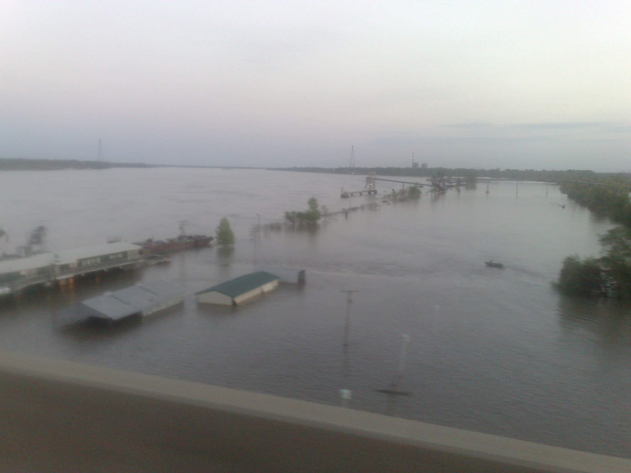
Crossing the Mississippi
Topographic Map of AR-, Lexa, AR, USA
Find elevation by address:

Places near AR-, Lexa, AR, USA:
West Helena
244 Bart St
Cleburne Township
Walden Ridge
St. Francis Township
Hornor Township
Phillips Road 311
D'anna Place
Bps
AR-, Lexa, AR, USA
Helena-west Helena
Martin Luther King Jr Dr, Helena, AR, USA
Spring Creek Township
State Hwy, Poplar Grove, AR, USA
Independence Township
Mississippi River State Park
Dundee
3 N Poplar St, Marianna, AR, USA
Marianna
Sheriff Ridge Ave, Clarksdale, MS, USA
Recent Searches:
- Elevation of Rojo Ct, Atascadero, CA, USA
- Elevation of Flagstaff Drive, Flagstaff Dr, North Carolina, USA
- Elevation of Avery Ln, Lakeland, FL, USA
- Elevation of Woolwine, VA, USA
- Elevation of Lumagwas Diversified Farmers Multi-Purpose Cooperative, Lumagwas, Adtuyon, RV32+MH7, Pangantucan, Bukidnon, Philippines
- Elevation of Homestead Ridge, New Braunfels, TX, USA
- Elevation of Orchard Road, Orchard Rd, Marlborough, NY, USA
- Elevation of 12 Hutchinson Woods Dr, Fletcher, NC, USA
- Elevation of Holloway Ave, San Francisco, CA, USA
- Elevation of Norfolk, NY, USA