Elevation of Marvell, AR, USA
Location: United States > Arkansas > Phillips County > Hickory Ridge Township >
Longitude: -90.912892
Latitude: 34.5556555
Elevation: 65m / 213feet
Barometric Pressure: 101KPa
Elevation Map:
Satellite Map:
Related Photos:
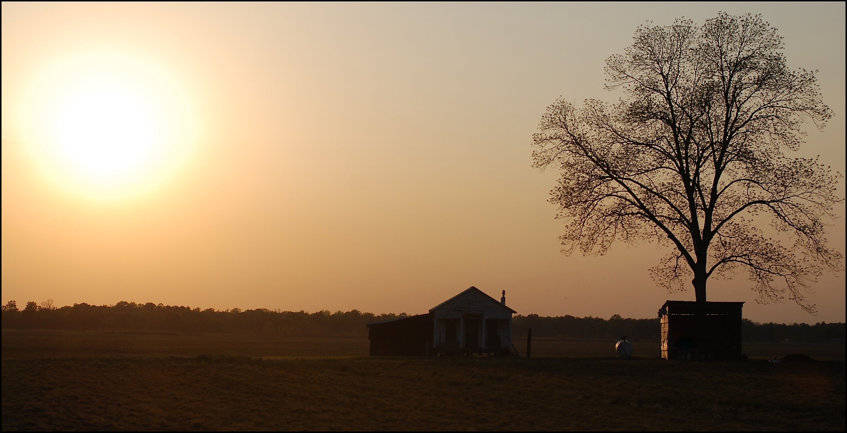
Arkansas Home (and tree (and sunset))
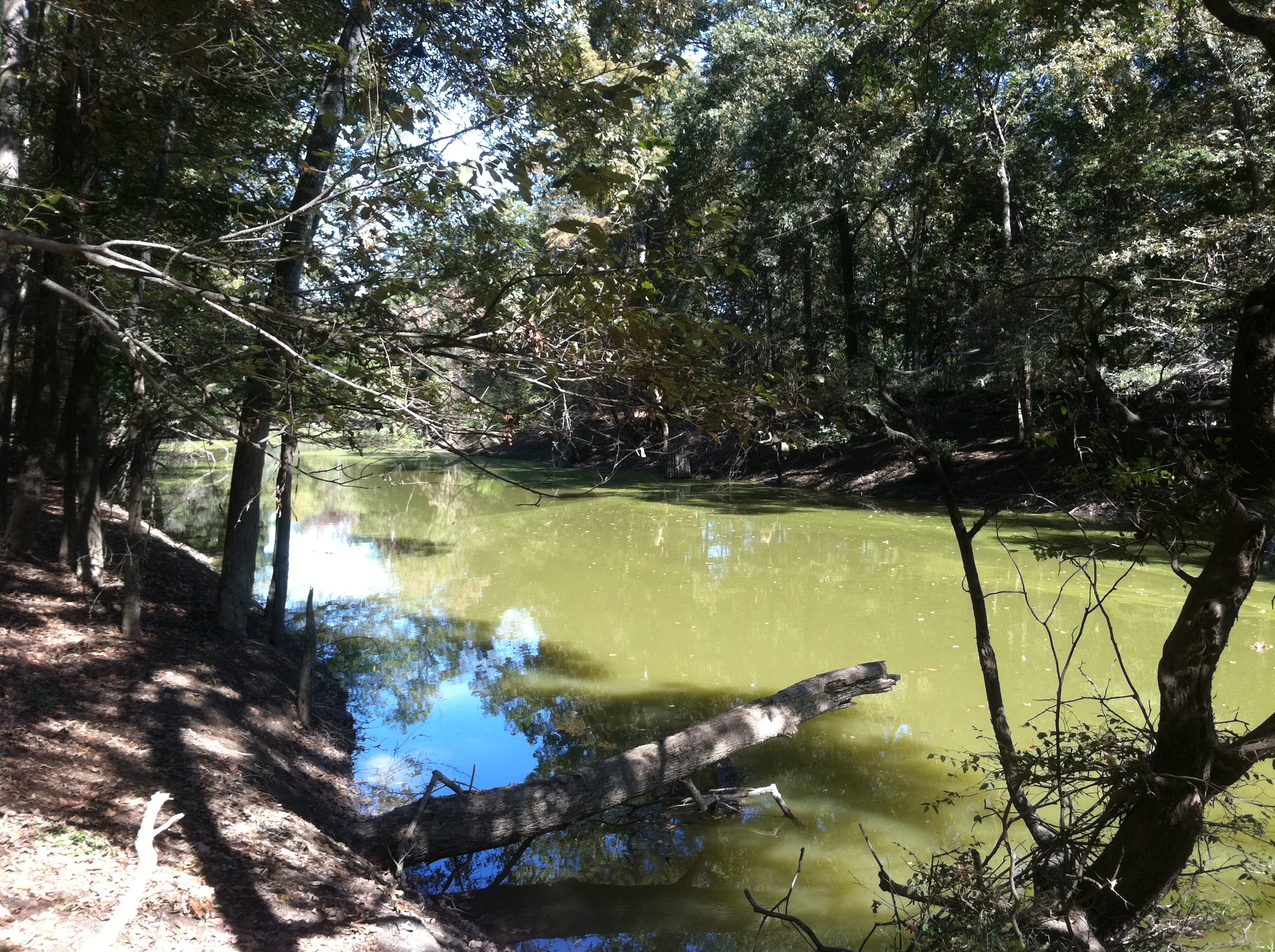
Big Creek
Louisiana Purchase Historic State Park
Big Creek
Big Creek
100-3334
Busy Day
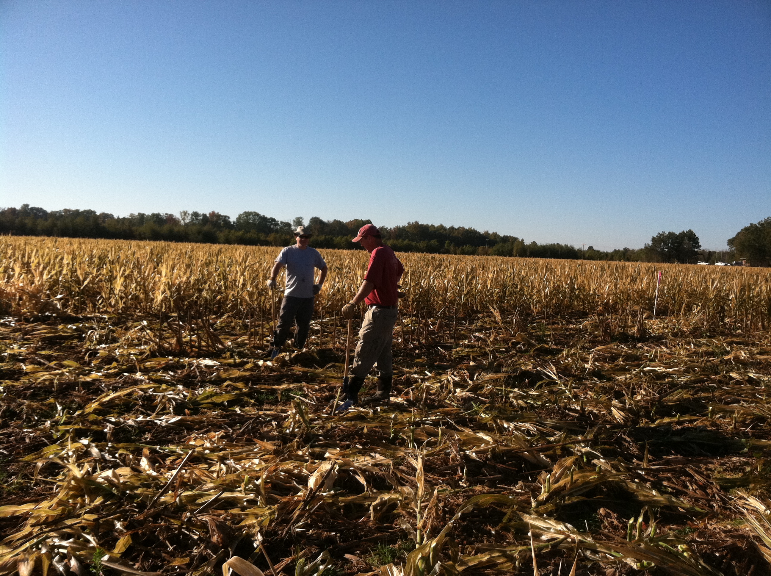
Phillips County, AR
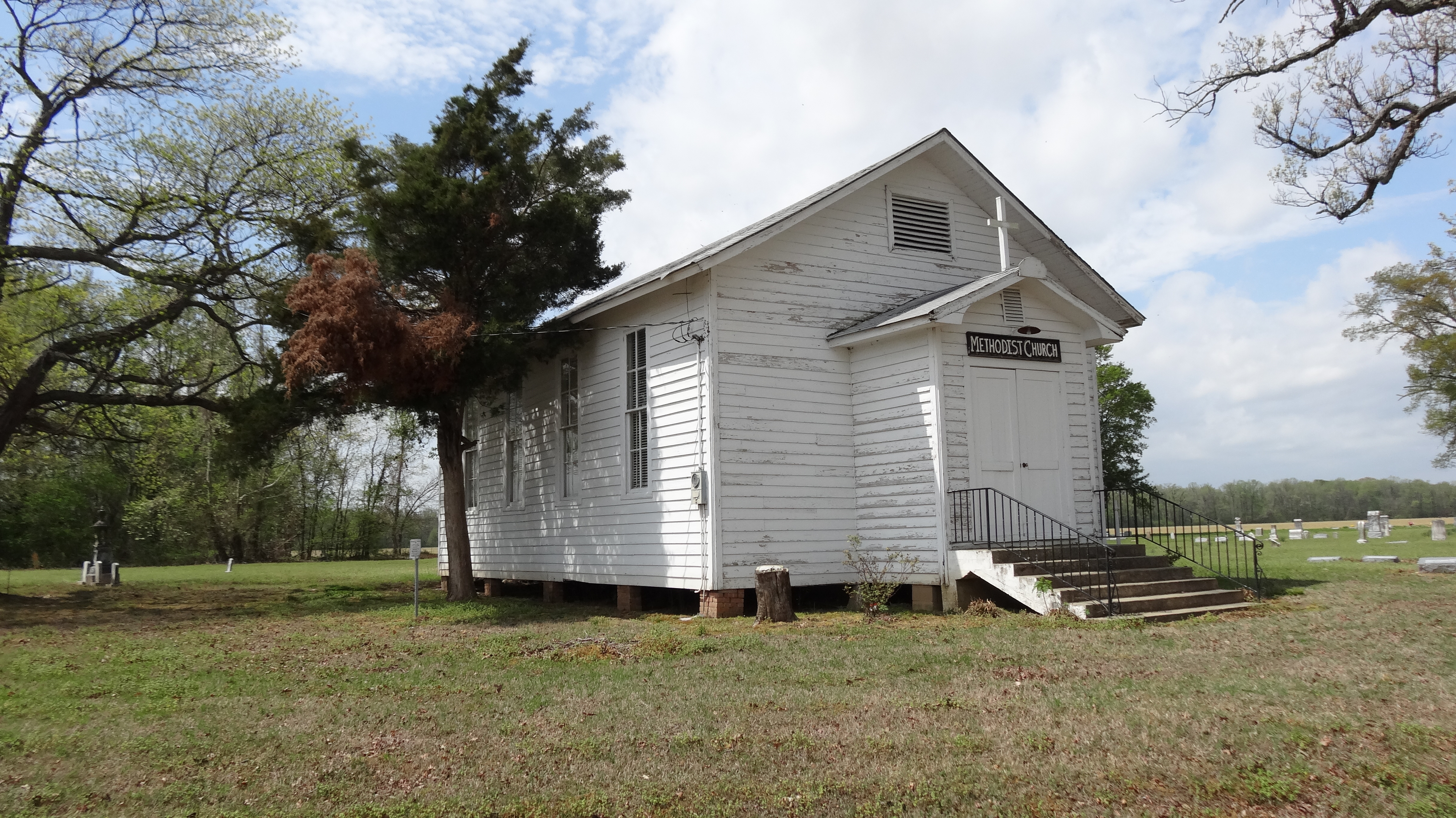
Turner Methodist Church, Turner, AR
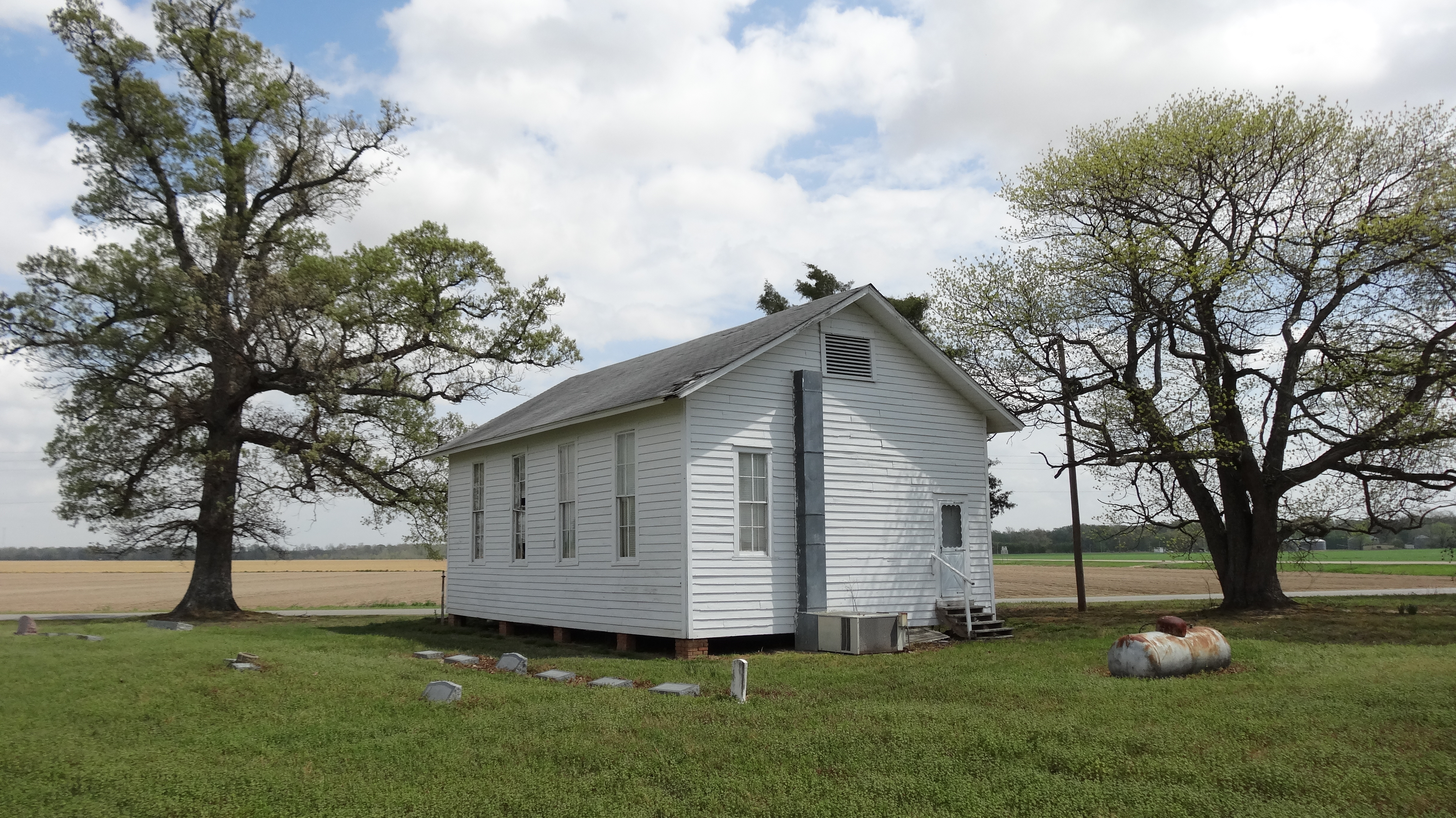
Turner Methodist Church, Turner, AR2
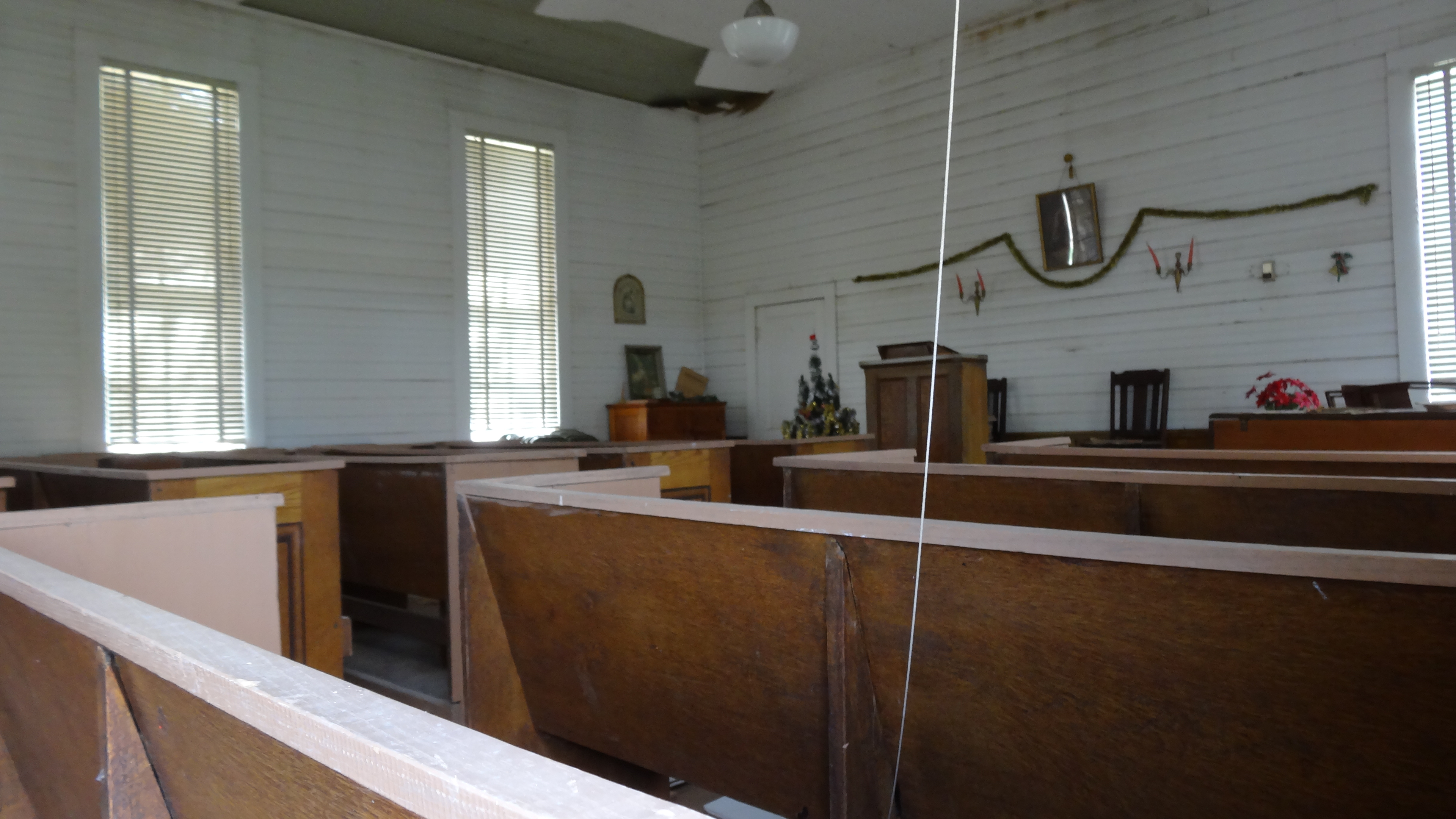
Turner Methodist Church, Turner, AR3
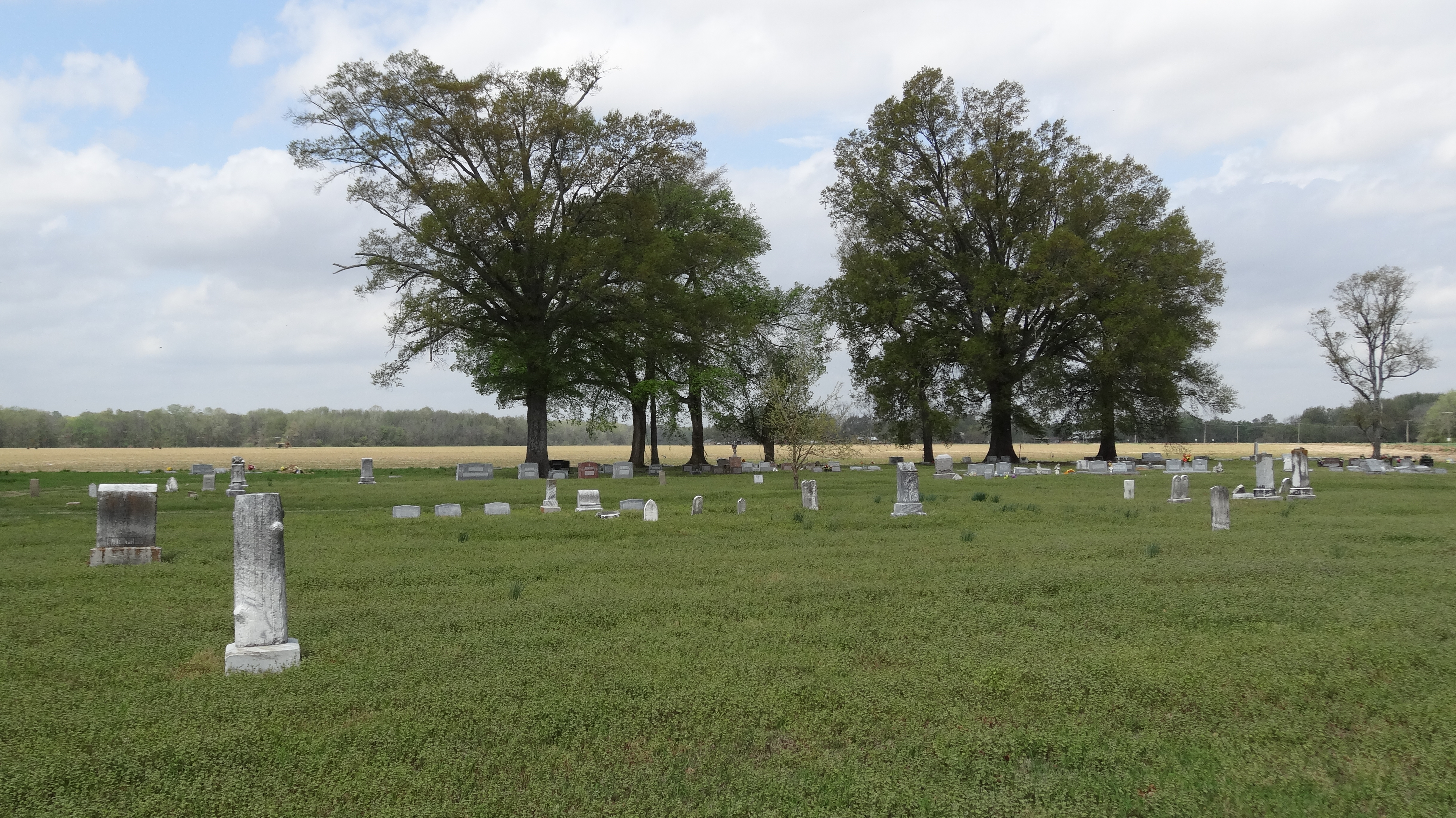
Cemetery, Turner Methodist Church, Turner, AR
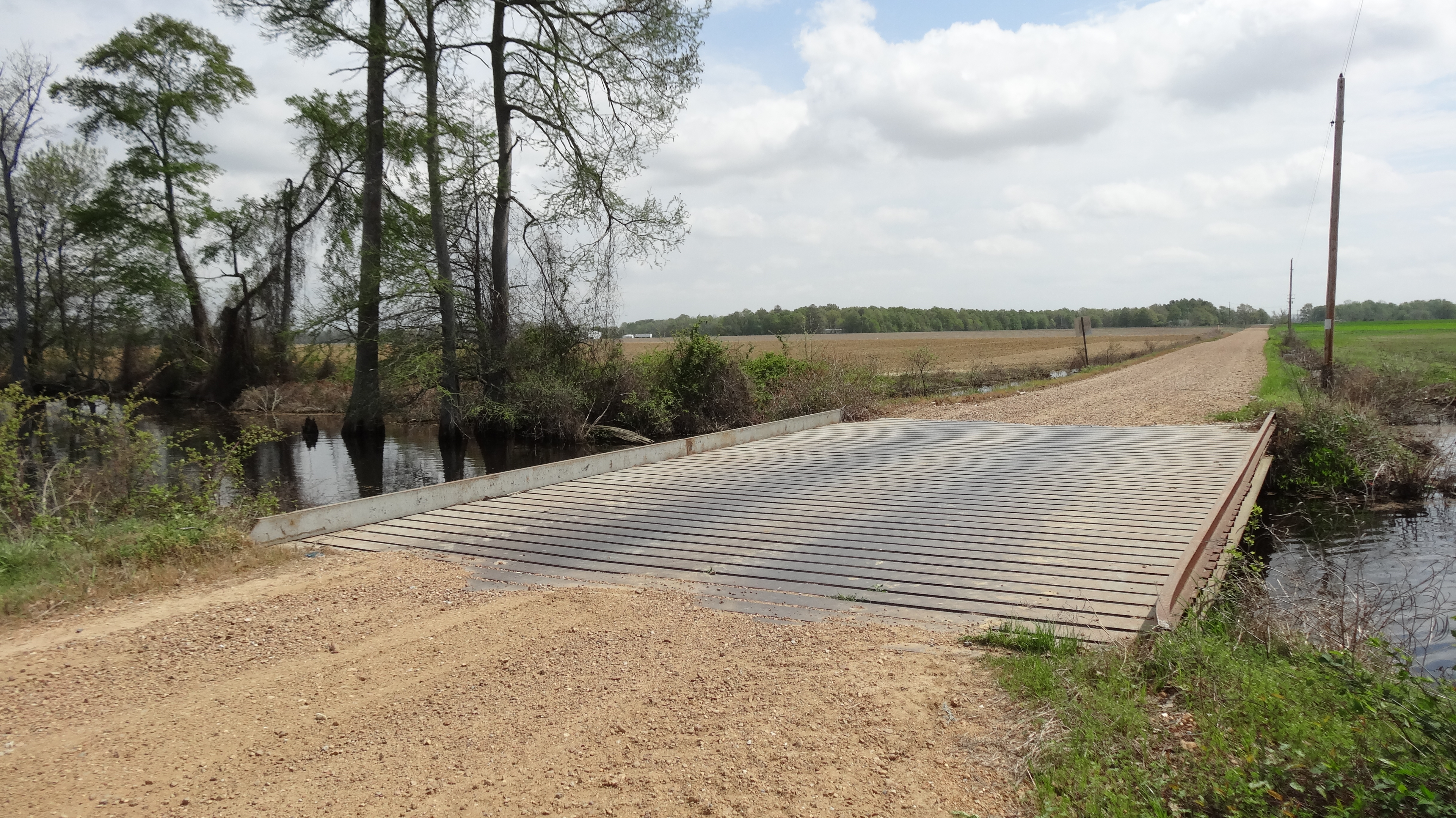
Little Cypress Creek Bridge, Postelle, AR
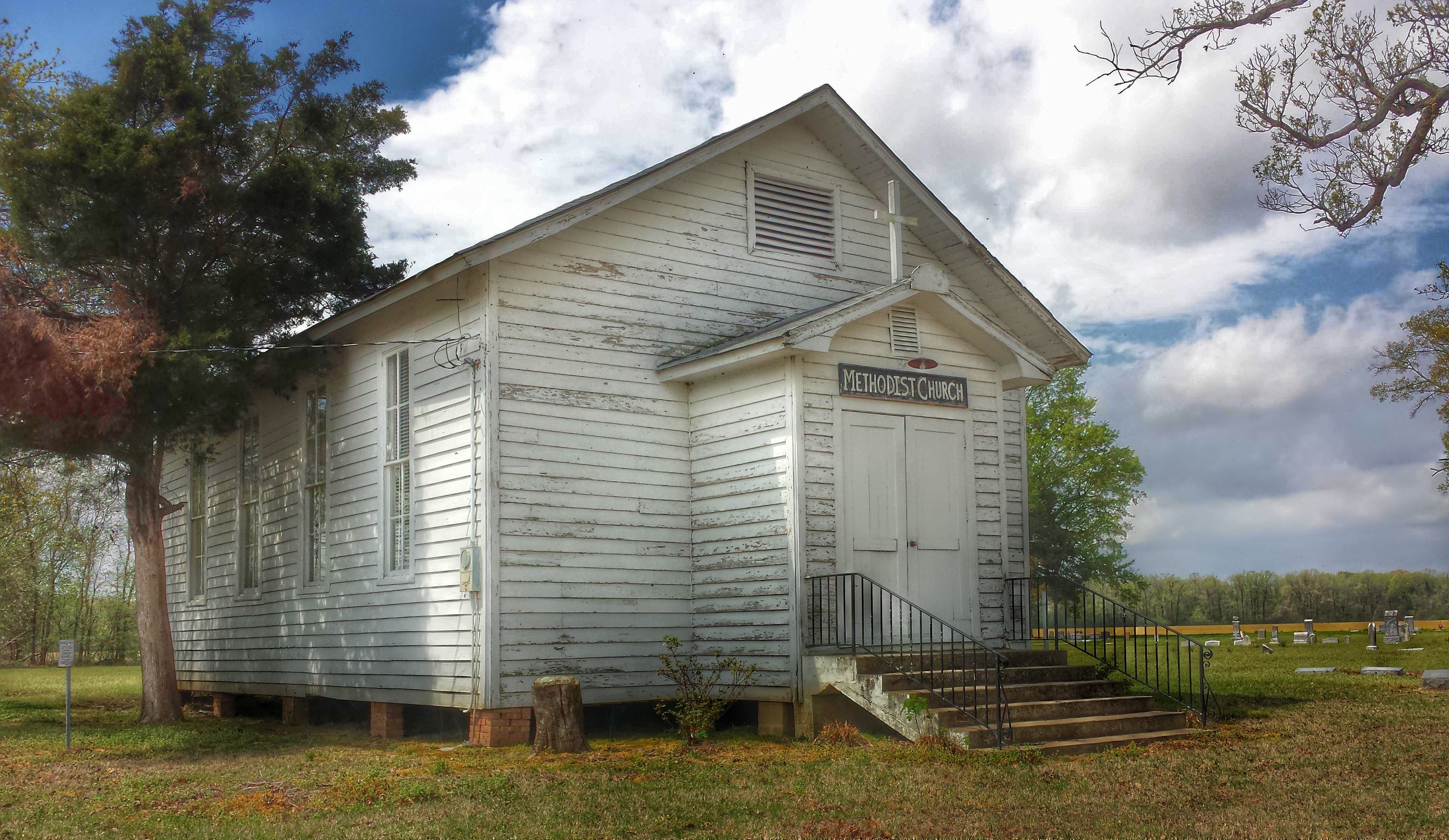
Turner Methodist Church- Phillips County AR
Moment of Surrender

Baby, you're my firework... @staceyvalley
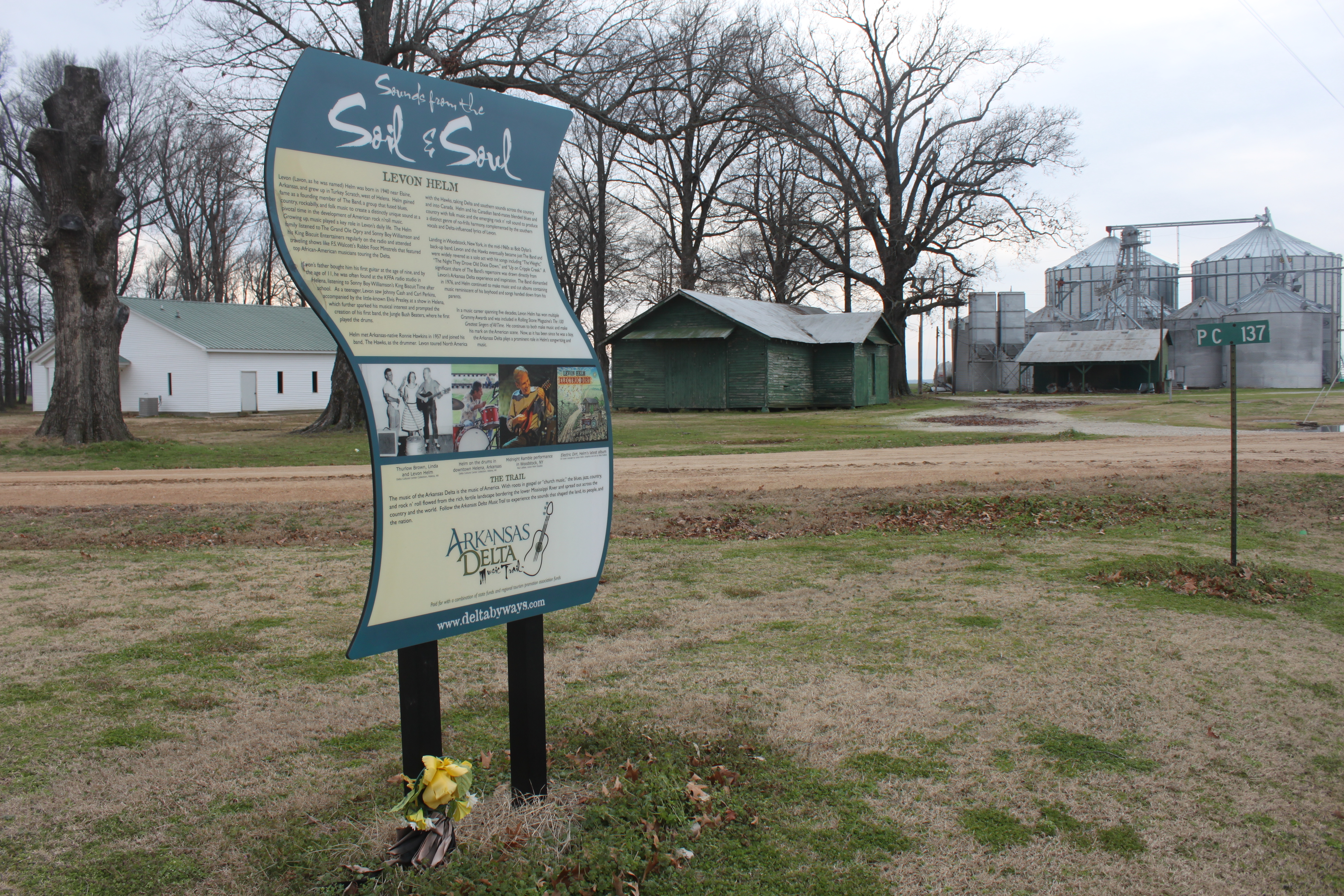
Levon Helm Marker, Turkey Scratch, Lee County, AR
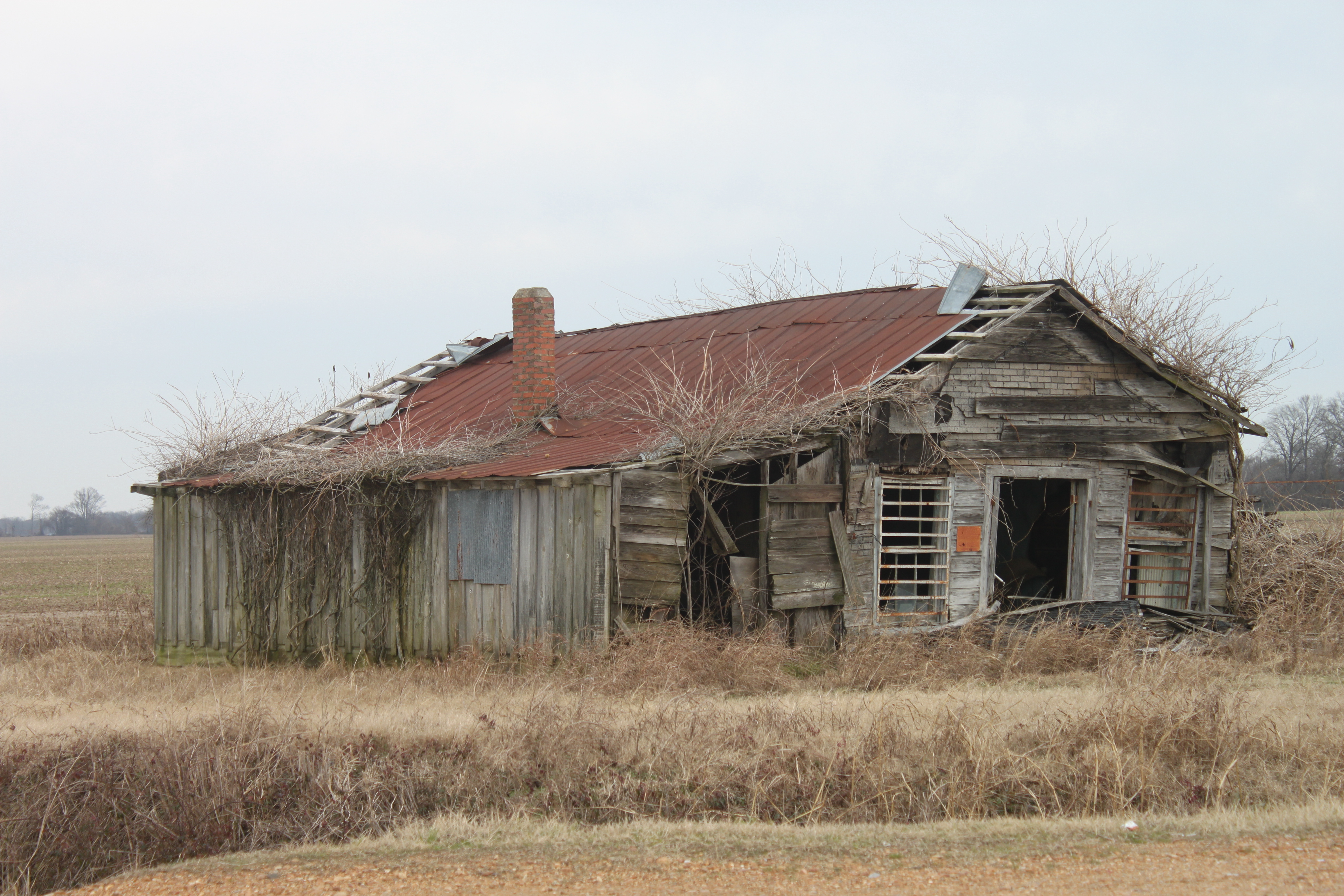
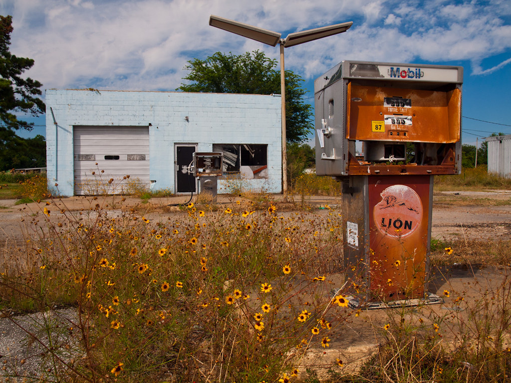
Shack, Phillips County, AR
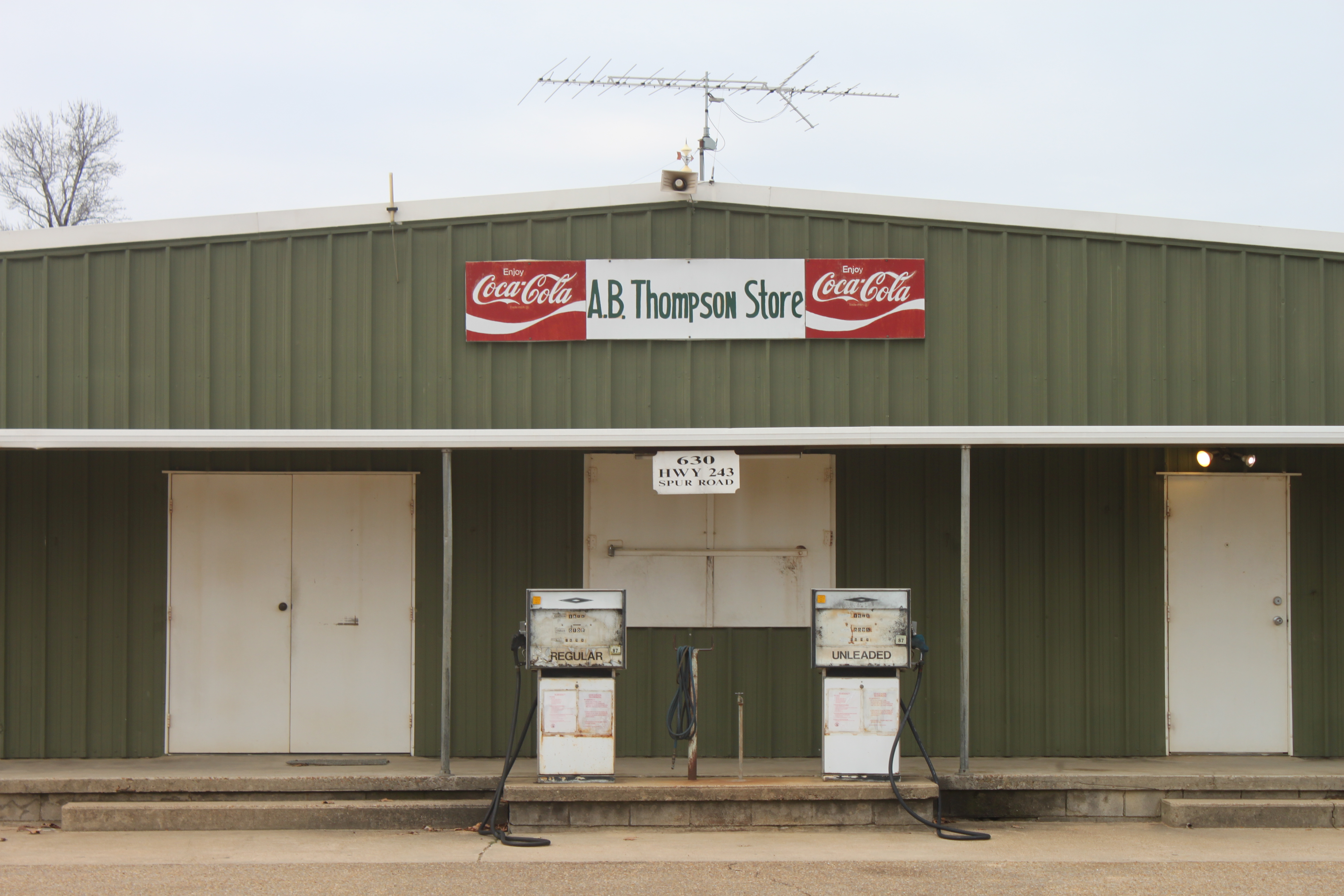
A. B. Thompson Store, Turkey Scratch, Lee County, AR
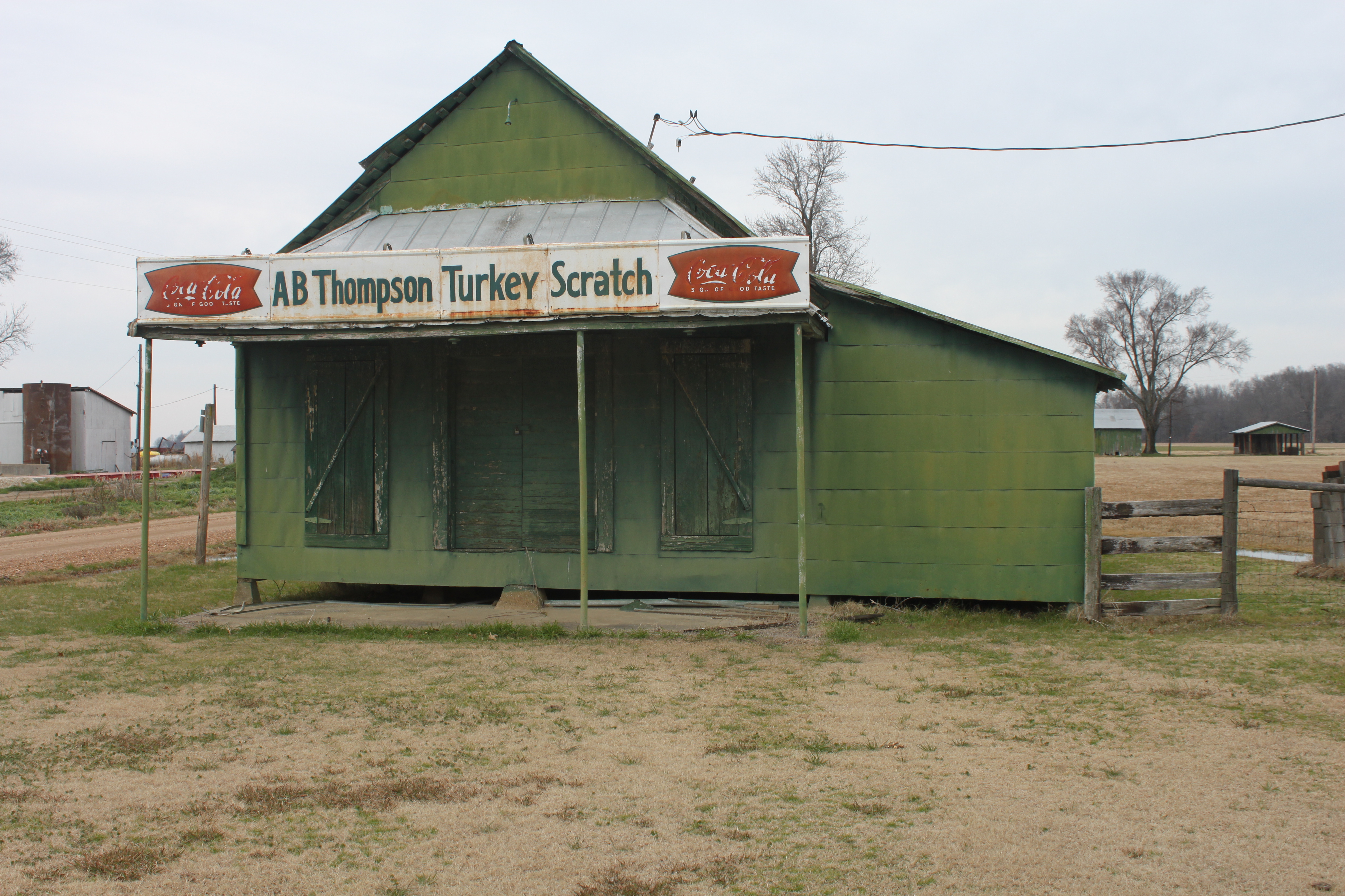
A. B. Thompson Turkey Scratch, Lee County, AR
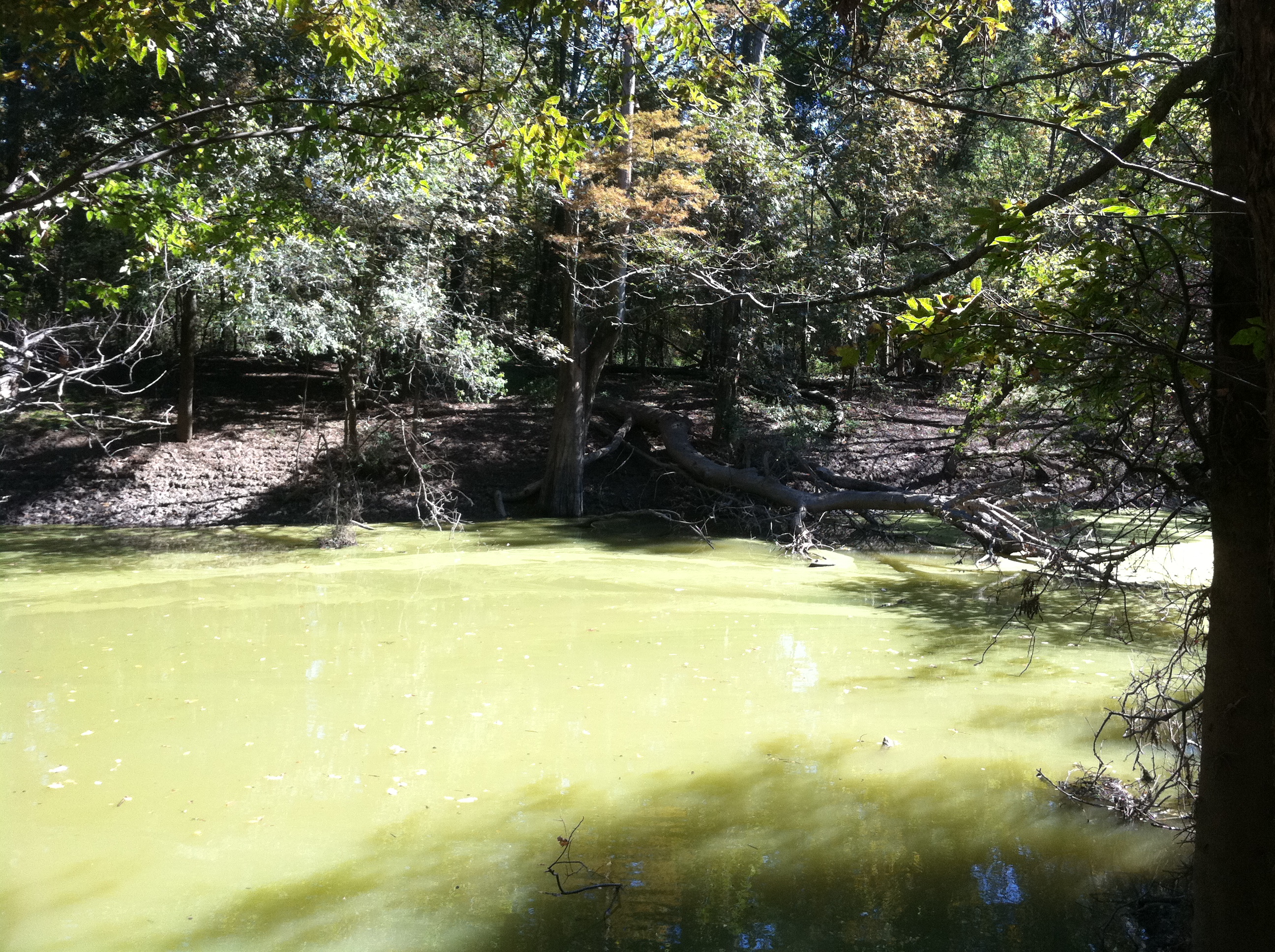
Big Creek
Topographic Map of Marvell, AR, USA
Find elevation by address:

Places in Marvell, AR, USA:
Places near Marvell, AR, USA:
W Main, Marvell, AR, USA
1608 College
Hickory Ridge Township
State Hwy, Poplar Grove, AR, USA
West Helena
Phillips County
Turner
Cypress Township
1270 Ar-146
1270 Ar-146
Spring Creek Township
Spring Creek Township
Church, Marianna, AR, USA
Aubrey
AR-, Lexa, AR, USA
Tappan Township
Hindman Township
Hornor Township
Scott Rd, Holly Grove, AR, USA
Cleburne Township
Recent Searches:
- Elevation of Beall Road, Beall Rd, Florida, USA
- Elevation of Leguwa, Nepal
- Elevation of County Rd, Enterprise, AL, USA
- Elevation of Kolchuginsky District, Vladimir Oblast, Russia
- Elevation of Shustino, Vladimir Oblast, Russia
- Elevation of Lampiasi St, Sarasota, FL, USA
- Elevation of Elwyn Dr, Roanoke Rapids, NC, USA
- Elevation of Congressional Dr, Stevensville, MD, USA
- Elevation of Bellview Rd, McLean, VA, USA
- Elevation of Stage Island Rd, Chatham, MA, USA