Elevation of Cleburne Township, AR, USA
Location: United States > Arkansas > Phillips County >
Longitude: -90.696285
Latitude: 34.6172922
Elevation: 73m / 240feet
Barometric Pressure: 100KPa
Elevation Map:
Satellite Map:
Related Photos:

old skool school!!
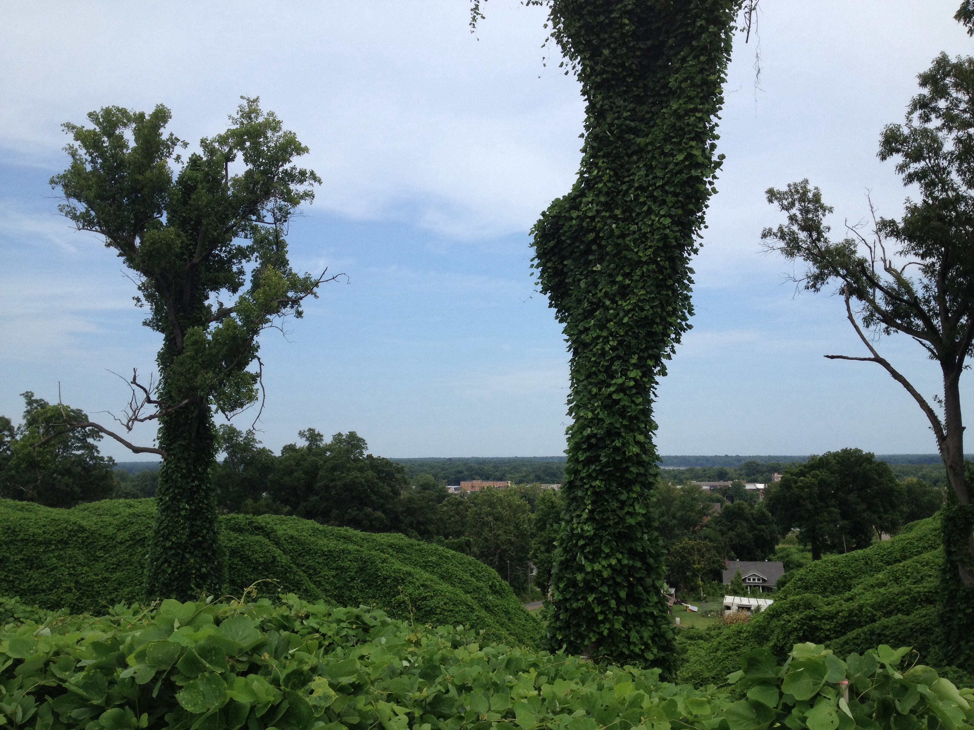
View from Crowley's Ridge
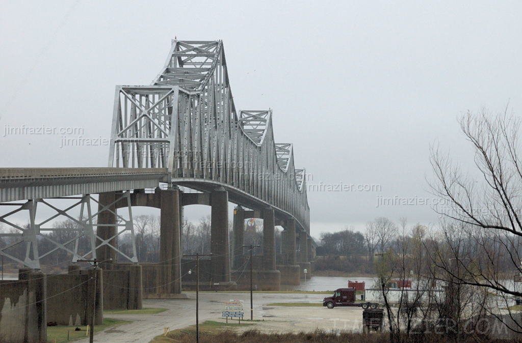
Helena Bridge - from Arkansas
cocacolabottlingco-010

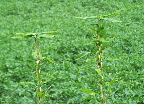
View from my perch....
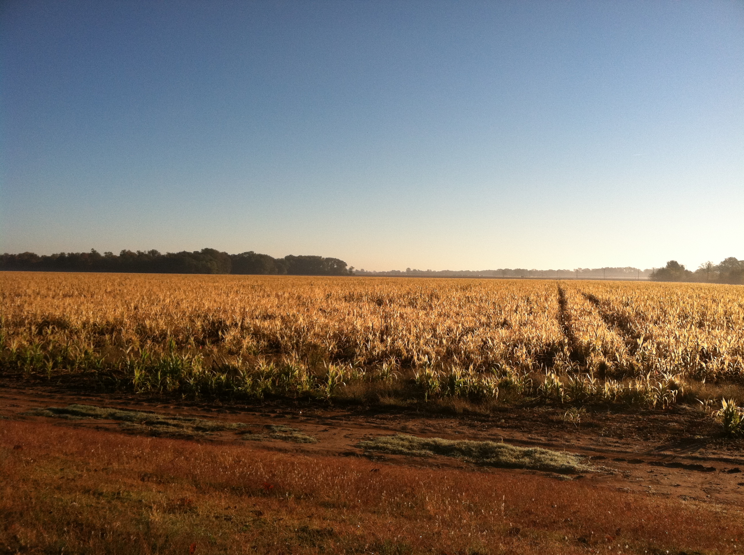
Big Creek
100-3334
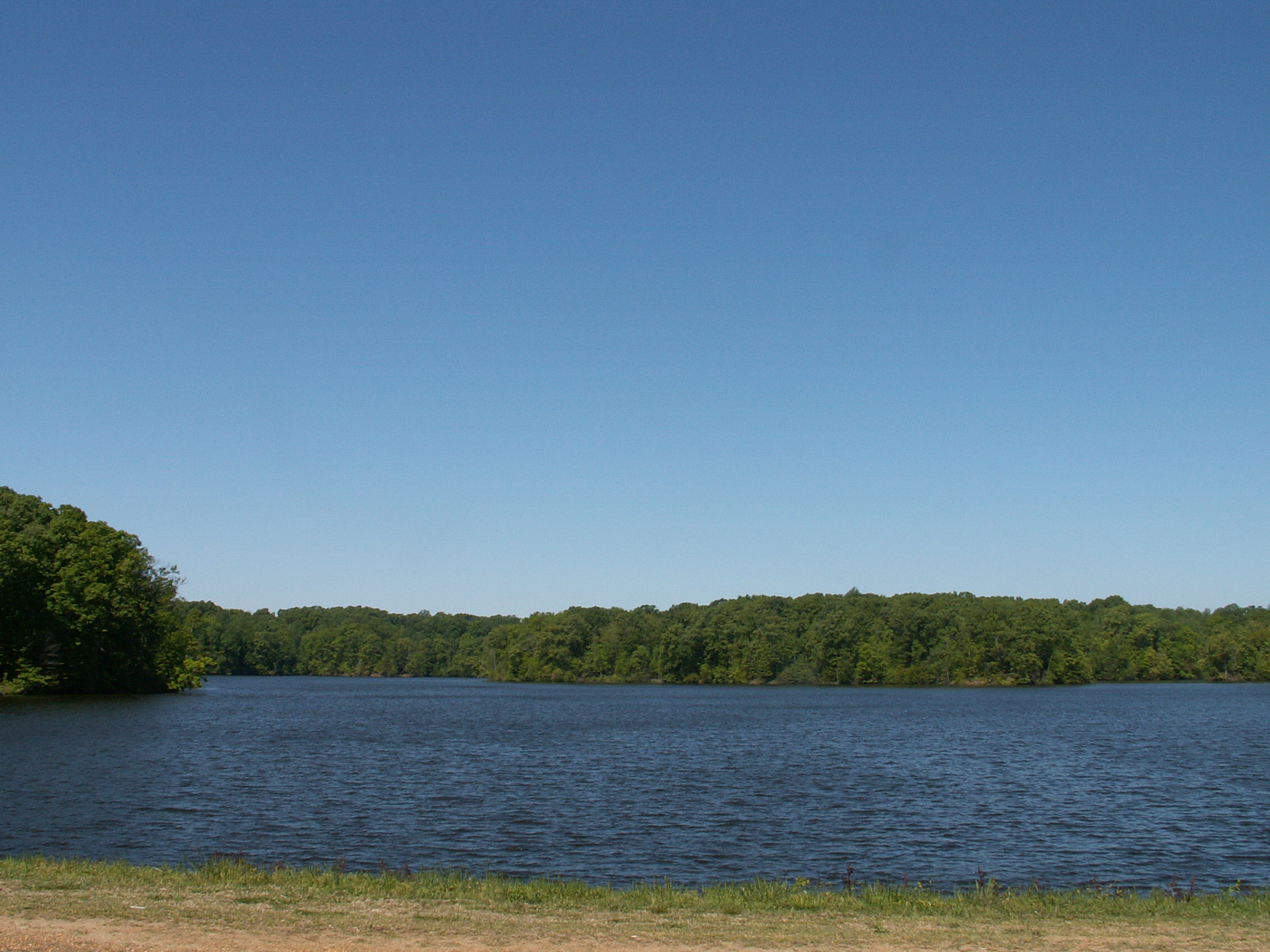
Storm Creek Lake
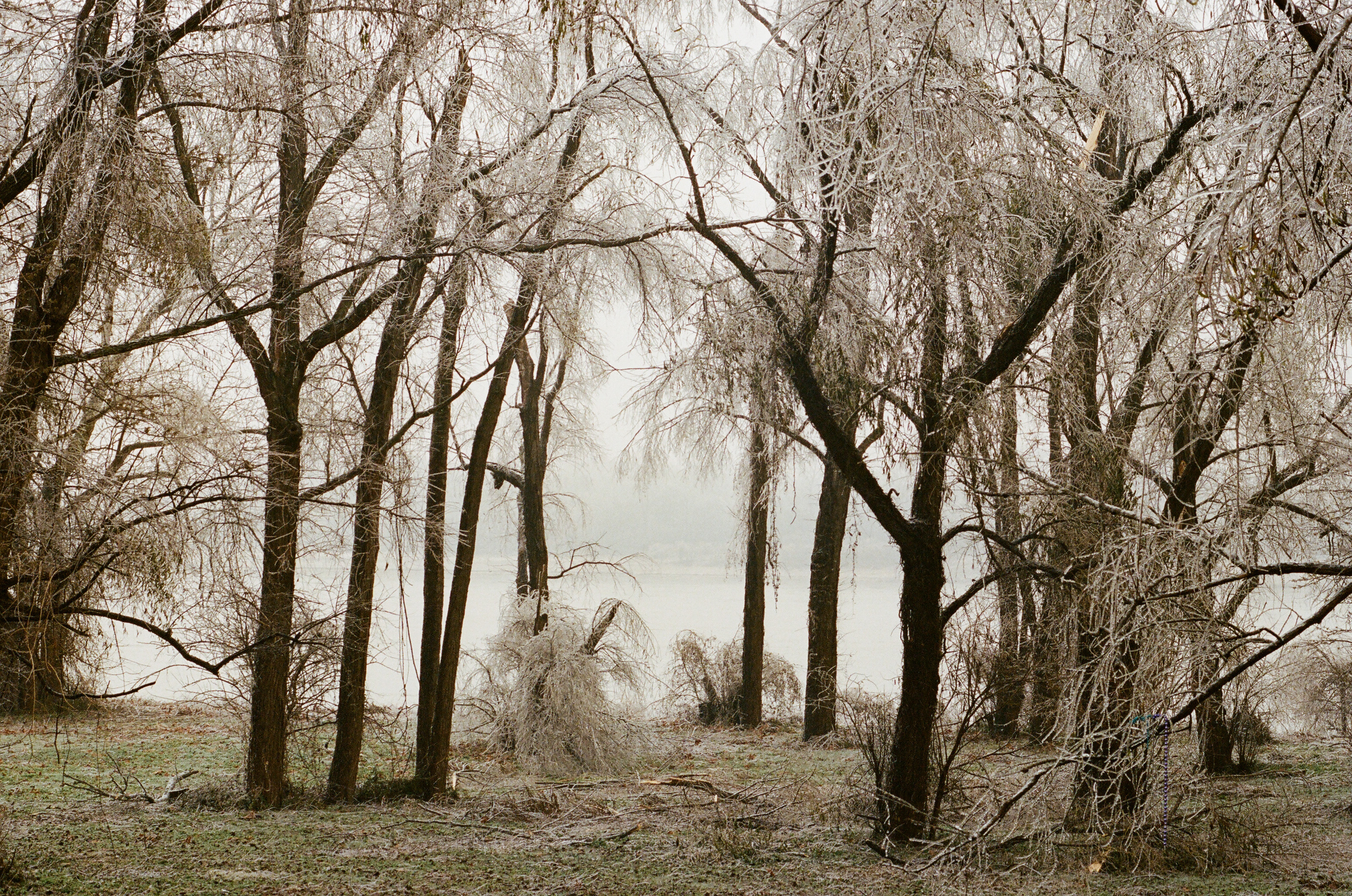
Frozen Swamp
Topographic Map of Cleburne Township, AR, USA
Find elevation by address:

Places in Cleburne Township, AR, USA:
Places near Cleburne Township, AR, USA:
AR-, Lexa, AR, USA
AR-, Lexa, AR, USA
West Helena
Hornor Township
244 Bart St
Walden Ridge
Phillips Road 311
St. Francis Township
Bps
Spring Creek Township
D'anna Place
State Hwy, Poplar Grove, AR, USA
Independence Township
Martin Luther King Jr Dr, Helena, AR, USA
Helena-west Helena
Mississippi River State Park
3 N Poplar St, Marianna, AR, USA
Marianna
Lee County
Spring Creek Township
Recent Searches:
- Elevation of Corso Fratelli Cairoli, 35, Macerata MC, Italy
- Elevation of Tallevast Rd, Sarasota, FL, USA
- Elevation of 4th St E, Sonoma, CA, USA
- Elevation of Black Hollow Rd, Pennsdale, PA, USA
- Elevation of Oakland Ave, Williamsport, PA, USA
- Elevation of Pedrógão Grande, Portugal
- Elevation of Klee Dr, Martinsburg, WV, USA
- Elevation of Via Roma, Pieranica CR, Italy
- Elevation of Tavkvetili Mountain, Georgia
- Elevation of Hartfords Bluff Cir, Mt Pleasant, SC, USA