Elevation of BPS, Phillips Rd, Helena, AR, USA
Location: United States > Arkansas > Phillips County > Helena-west Helena > West Helena > West Helena >
Longitude: -90.646128
Latitude: 34.5124801
Elevation: 59m / 194feet
Barometric Pressure: 101KPa
Elevation Map:
Satellite Map:
Related Photos:
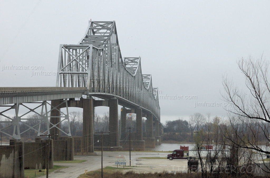
Helena Bridge - from Arkansas
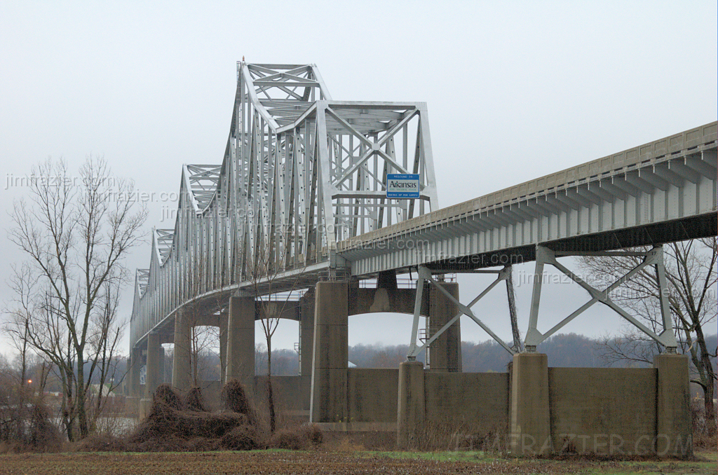
Helena Bridge - from Mississippi

old skool school!!

Locked Up
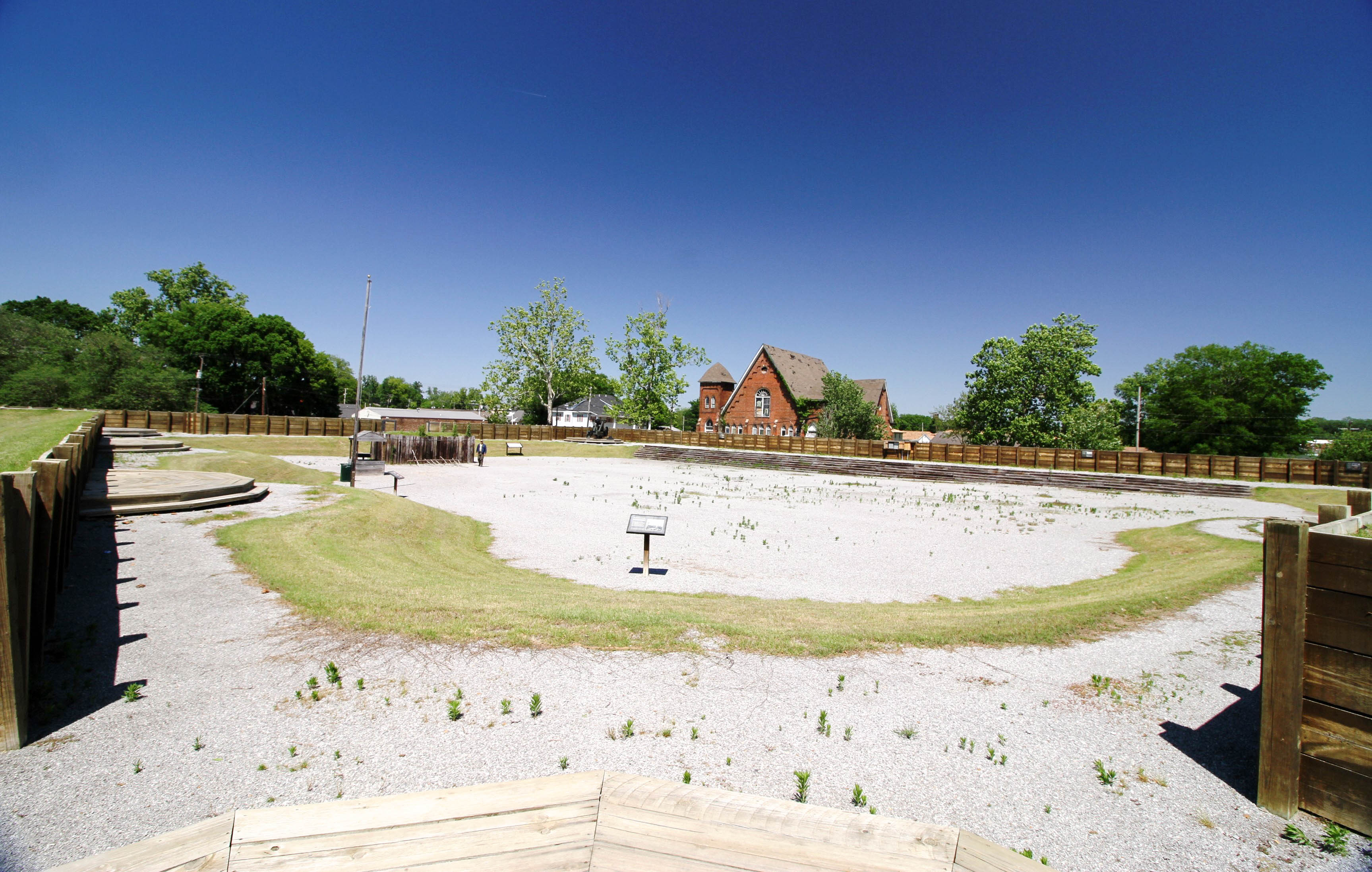
Helena, Arkansas
cocacolabottlingco-010
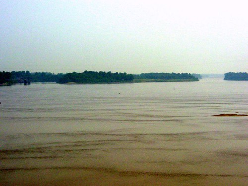
Mississippi River at Helena, AR

View from Crowley's Ridge

View from my perch....

Frozen Swamp
Big Creek

Tonight's #deltasunset - mom comes homes tomorrow! #backinthedelta #grateful

100-3334

Going...going... #deltasunset

Another shot of the remnants of tonight's sunset. #backinthedelta #deltasunset
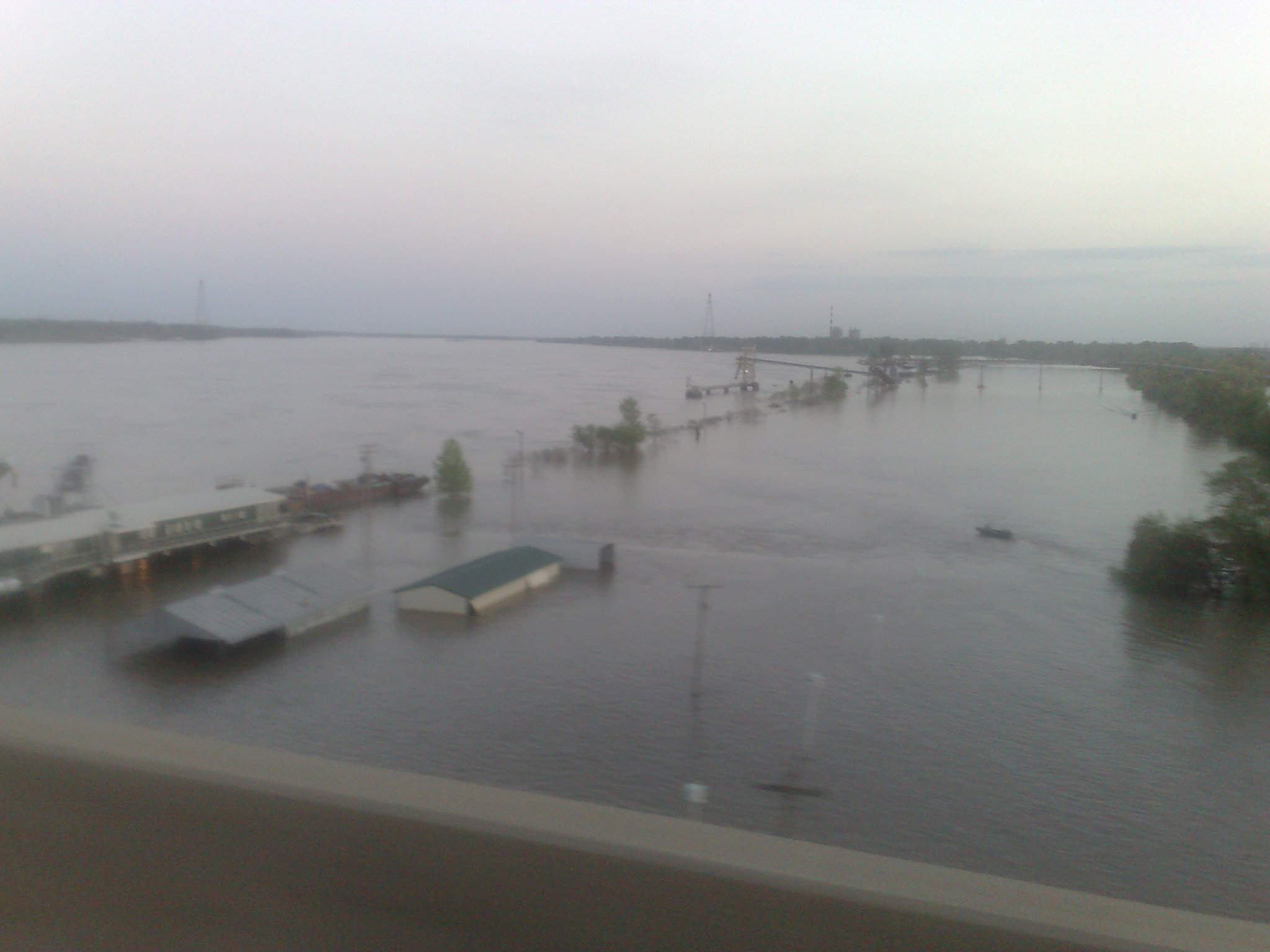
Crossing the Mississippi
Topographic Map of BPS, Phillips Rd, Helena, AR, USA
Find elevation by address:

Places near BPS, Phillips Rd, Helena, AR, USA:
Phillips Road 311
D'anna Place
Walden Ridge
Martin Luther King Jr Dr, Helena, AR, USA
244 Bart St
West Helena
St. Francis Township
Hornor Township
Helena-west Helena
AR-, Lexa, AR, USA
Cleburne Township
Spring Creek Township
AR-, Lexa, AR, USA
Sheriff Ridge Ave, Clarksdale, MS, USA
State Hwy, Poplar Grove, AR, USA
Dundee
Coahoma
US-61, Coahoma, MS, USA
West Helena
Phillips County
Recent Searches:
- Elevation of 15th Ave SE, St. Petersburg, FL, USA
- Elevation of Beall Road, Beall Rd, Florida, USA
- Elevation of Leguwa, Nepal
- Elevation of County Rd, Enterprise, AL, USA
- Elevation of Kolchuginsky District, Vladimir Oblast, Russia
- Elevation of Shustino, Vladimir Oblast, Russia
- Elevation of Lampiasi St, Sarasota, FL, USA
- Elevation of Elwyn Dr, Roanoke Rapids, NC, USA
- Elevation of Congressional Dr, Stevensville, MD, USA
- Elevation of Bellview Rd, McLean, VA, USA