Elevation of Dundee, MS, USA

Location: United States > Mississippi > Tunica County >

Longitude: -90.455876

Latitude: 34.5246012

Elevation: 57m / 187feet

Barometric Pressure: 101KPa

Elevation Map:

elevation map of Dundee, MS, USA

Satellite Map:

Satellite map of Dundee, MS, USA

Related Photos:

old school texture abandoned photoshop canon high ar creepy highschool spooky worn arkansas helena aged 1855mm canonefs1855mm kudzu edit canon1855mm 40d winrich phillipscounty wideanglegoodness canon40d schoolonhauntedhill abandonedhelenahighschool
old skool school!!
bridge cloud mist industry water rain misty rural river mississippi landscape concrete countryside vanishingpoint haze scenery industrial december commerce technology ar cloudy steel country gray foggy engineering overcast structure business rainy commercial infrastructure mississippiriver arkansas helena hazy complex smalltown q3 2007 riparian complicated cantilever mercantile v500 v1000 threequarterview 34view mississippibridge throughtruss tostategroup 200712memphisarea wmembed
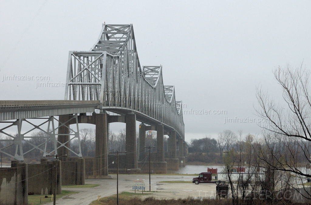
Helena Bridge - from Arkansas
bridge cloud mist industry water rain misty rural river mississippi landscape concrete countryside vanishingpoint haze scenery industrial december commerce technology cloudy steel country gray foggy engineering overcast structure business rainy commercial ms infrastructure mississippiriver helena hazy complex smalltown q3 2007 riparian complicated cantilever mercantile v500 v1000 threequarterview 34view explored interestingness287 mississippibridge throughtruss tostategroup 200712memphisarea wmembed
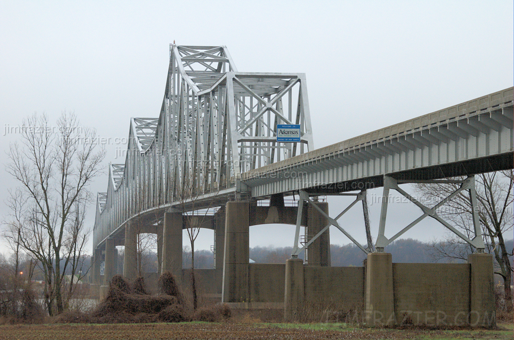
Helena Bridge - from Mississippi
msdeptarchiveshistory mdah:sysid=97352
Moon Lake - view from east side.
msdeptarchiveshistory mdah:sysid=97336
Chism, Heldon, and Dan in Boat - Back view.
helenawesthelena
View from Crowley's Ridge
mississippi rivers mississippiriver arkansas
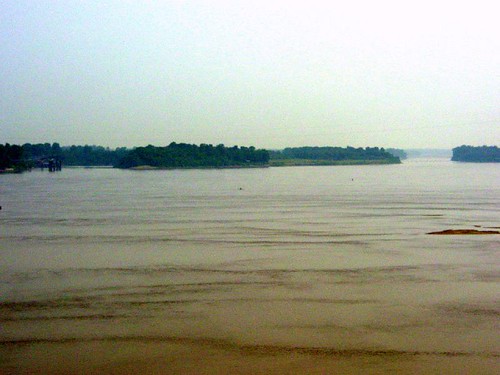
Mississippi River at Helena, AR
canon urbandecay powershot helena rubble a400 canona400 cokacolabuilding
cocacolabottlingco-010
festival king blues biscuit 2013 kbbf uploaded:by=flickrmobile flickriosapp:filter=nofilter
View from my perch....
leica cruise film river mississippi landscape kodak shoreline rangefinder 35mmfilm mississippiriver portra snowscape kodakfilm filmphotography portra160 kodakportra leicam3 35mmrangefinder
Frozen Swamp
sorghum mississippidelta tunicacounty milosorghum
Delta Mystery Plant
moon field mississippi nikon farm farming cotton crop ms agriculture d80
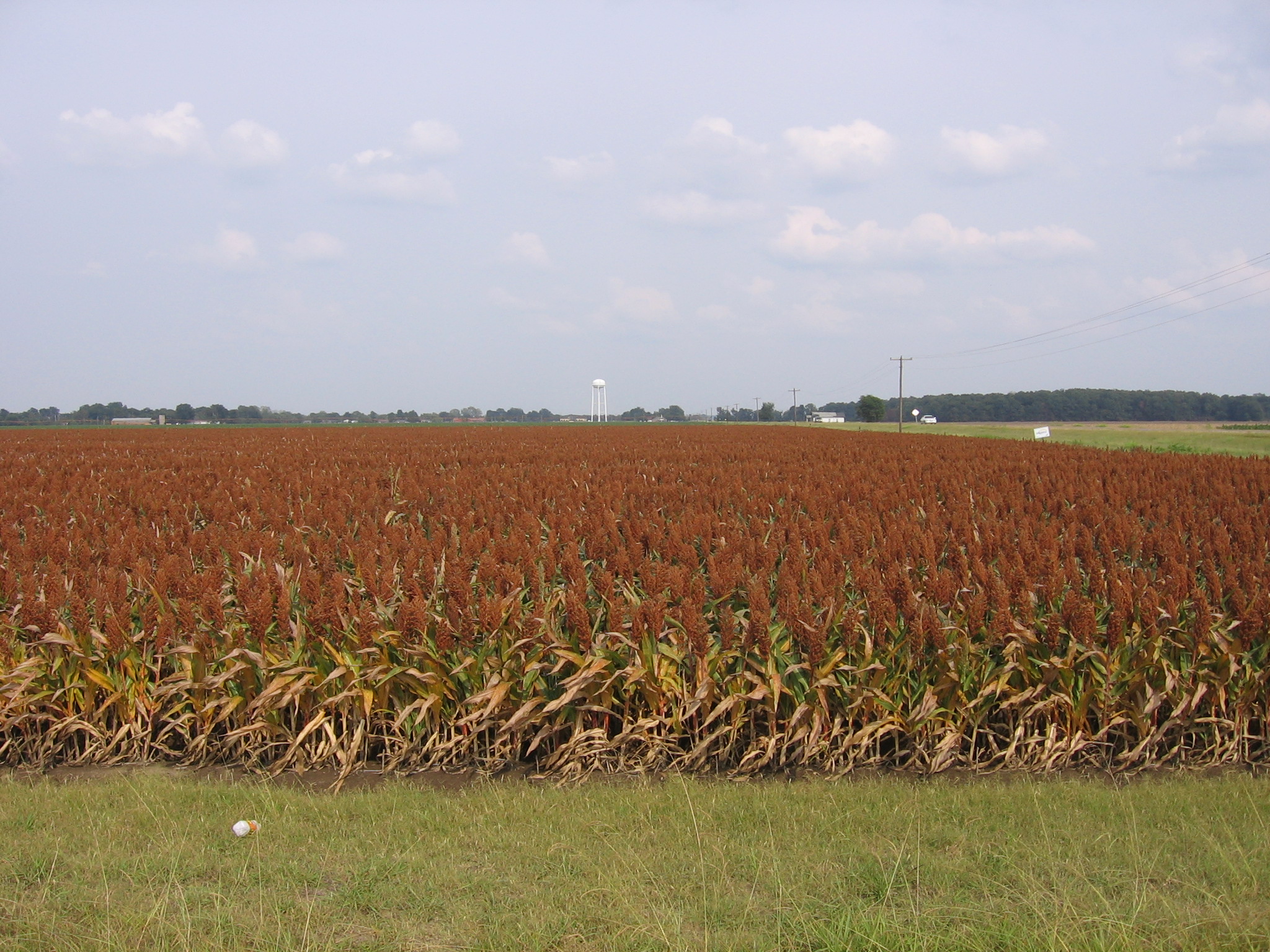
As Far As The Eye Can See
lake mississippi landscape dock nikon dam beaver bayou swamp boardwalk d80
Mississippi Bayou, Beaver Dam Lake
old travel cloud plant building abandoned industry rain metal shop mystery danger barn rural mississippi dark landscape tin countryside scary dangerous rust scenery industrial december factory commerce gloomy cloudy decay farm steel country farming gray shed rusty overcast f10 structure haunted creepy business cotton rainy forgotten commercial ms mysterious lula agriculture gin q3 agricultural 2007 rundown frightening frightened mercantile cottongin v500 v1000 printportfolio 200712memphisarea lulacottonprocessingco printed11x14 ©jimfraziercom wmembed
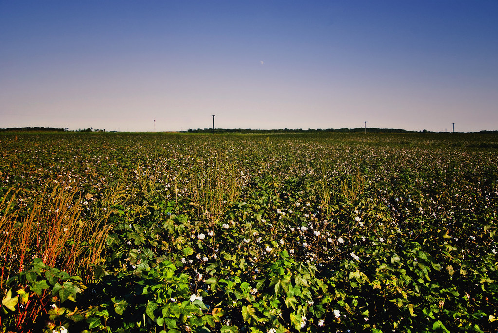
Lula Cotton Processing Co., Inc.
cameraphone usa mississippi celltagged geotagged zonetag driving coasttocoast coahoma directionse geo:country=usa zip38626 geo:city=coahoma geo:state=mississippi geo:zip=38626 geo:lat=34495803 geo:lon=905775 speed:mph=2865 cell:cgi=3104102500211441
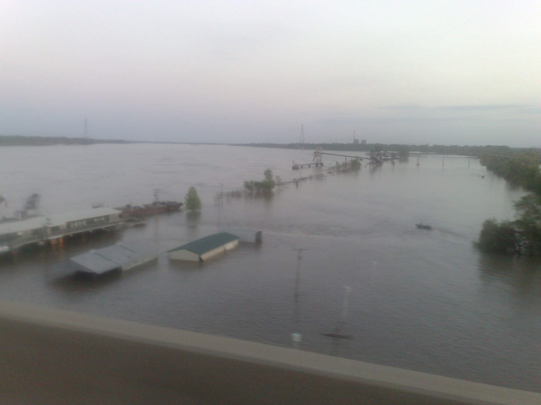
Crossing the Mississippi
usa mississippi landscape landscapes outdoor blues bayou bluesmusic clarksdale bluestrail2014
Clarksdale - Mississippi Roadside
usa mississippi landscape landscapes outdoor blues bayou bluesmusic clarksdale bluestrail2014
Clarksdale - Small Bayou