Elevation of Southern Camp Road, Southern Camp Rd, Kentucky, USA
Location: United States > Kentucky > Hueysville >
Longitude: -82.843123
Latitude: 37.5016829
Elevation: 211m / 692feet
Barometric Pressure: 99KPa
Elevation Map:
Satellite Map:
Related Photos:
Youthworks 2005 065
Youthworks 2005 066

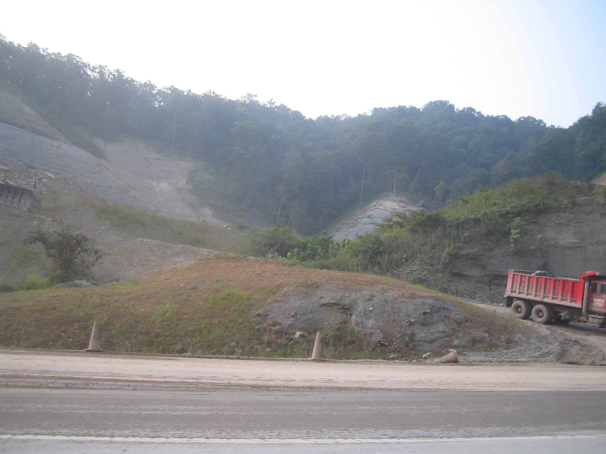
Cemetary Hill

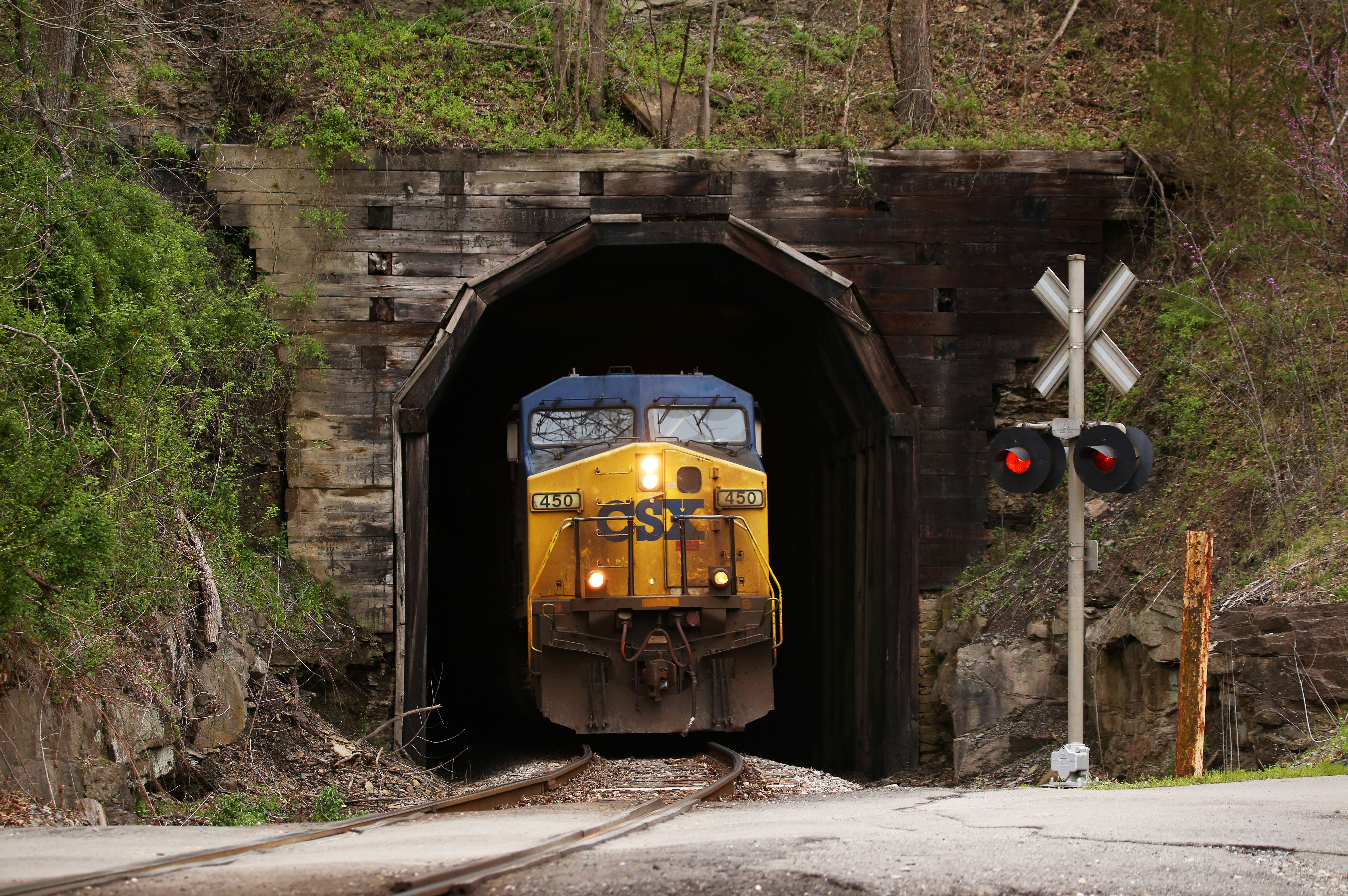
Sunday Morning Coal Train
kentucky.

CSX @ Allen, KY.

Spring on the E&BV

Wayland High School

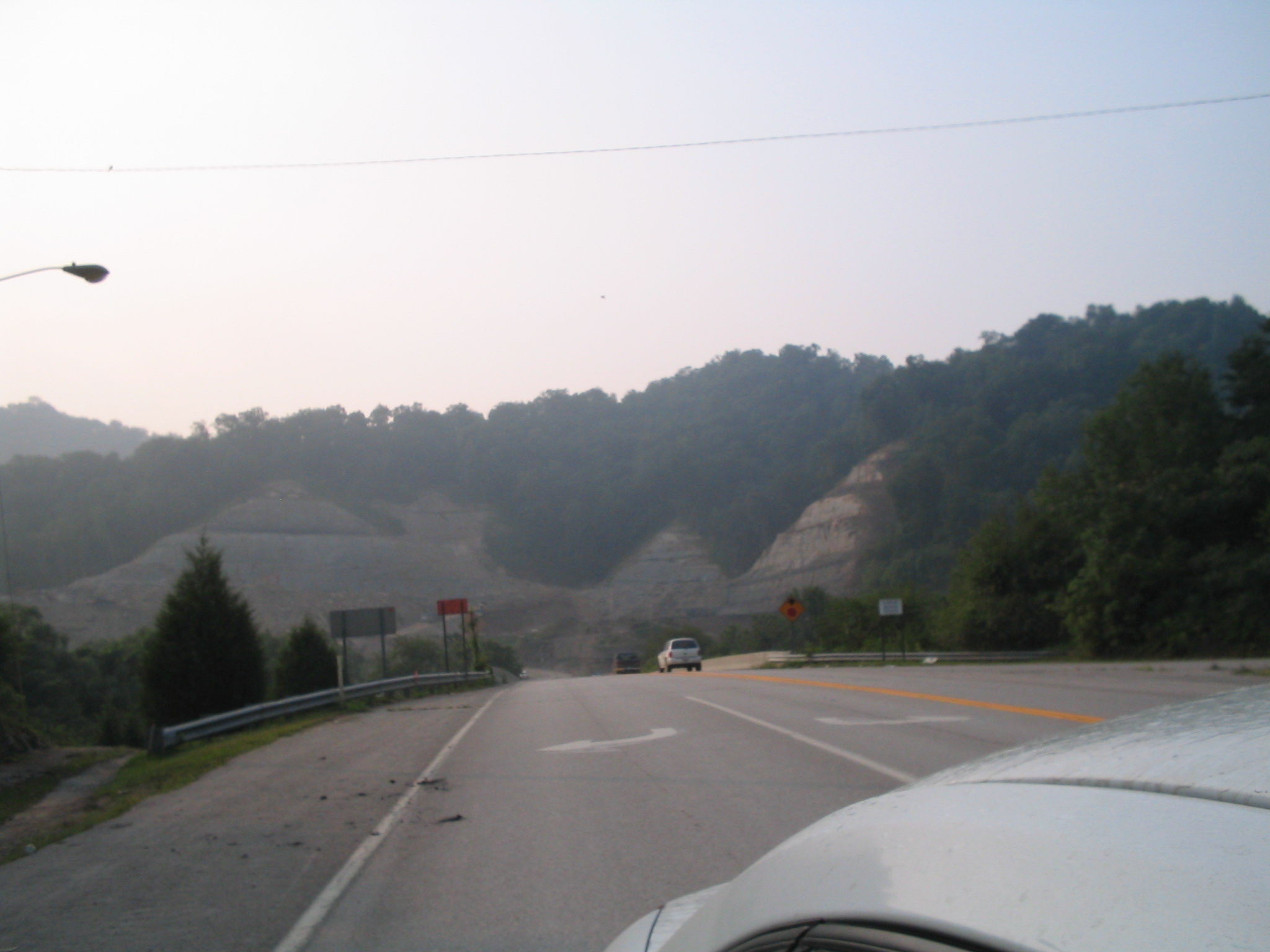
Wayland, Kentucky
Timber Lined

Chessie 3864, 4680, & 4180 (EMD GP38, GP40-2's)

Chessie 3864 (GP38)

Loaded Coal from Martin

Rat rod

Water Testing in Floyd County

Water Testing in Floyd County

Water Testing in Floyd County 6.2013

High Conductivity (times 10)

f4 and be there

Mill Creek Community Meeting

Why Are You Walking on the Railroad Track?

Fishing Left Beaver Creek

Allen, Early Sunday Morning

Cygnet Crescent
Topographic Map of Southern Camp Road, Southern Camp Rd, Kentucky, USA
Find elevation by address:

Places near Southern Camp Road, Southern Camp Rd, Kentucky, USA:
Hueysville
KY-7, Wayland, KY, USA
KY-, Eastern, KY, USA
Eastern
KY-7, Wayland, KY, USA
KY-, David, KY, USA
Wayland
KY-, Hueysville, KY, USA
Floyd County
Barkcamp Road
KY-, Printer, KY, USA
Caney Fork Rd, Martin, KY, USA
164 Cloverfield Branch
SE Licking River Rd, Salyersville, KY, USA
Gunlock
Dinwood Rd, Martin, KY, USA
Printer
State Hwy, David, KY, USA
KY-, Martin, KY, USA
Gunlock, KY, USA
Recent Searches:
- Elevation of 24 Oakland Rd #, Scotland, ON N0E 1R0, Canada
- Elevation of Deep Gap Farm Rd E, Mill Spring, NC, USA
- Elevation of Dog Leg Dr, Minden, NV, USA
- Elevation of Dog Leg Dr, Minden, NV, USA
- Elevation of Kambingan Sa Pansol Atbp., Purok 7 Pansol, Candaba, Pampanga, Philippines
- Elevation of Pinewood Dr, New Bern, NC, USA
- Elevation of Mountain View, CA, USA
- Elevation of Foligno, Province of Perugia, Italy
- Elevation of Blauwestad, Netherlands
- Elevation of Bella Terra Blvd, Estero, FL, USA