Elevation of KY-7, Wayland, KY, USA
Location: United States > Kentucky > Floyd County > Wayland >
Longitude: -82.817557
Latitude: 37.4551289
Elevation: 215m / 705feet
Barometric Pressure: 99KPa
Elevation Map:
Satellite Map:
Related Photos:
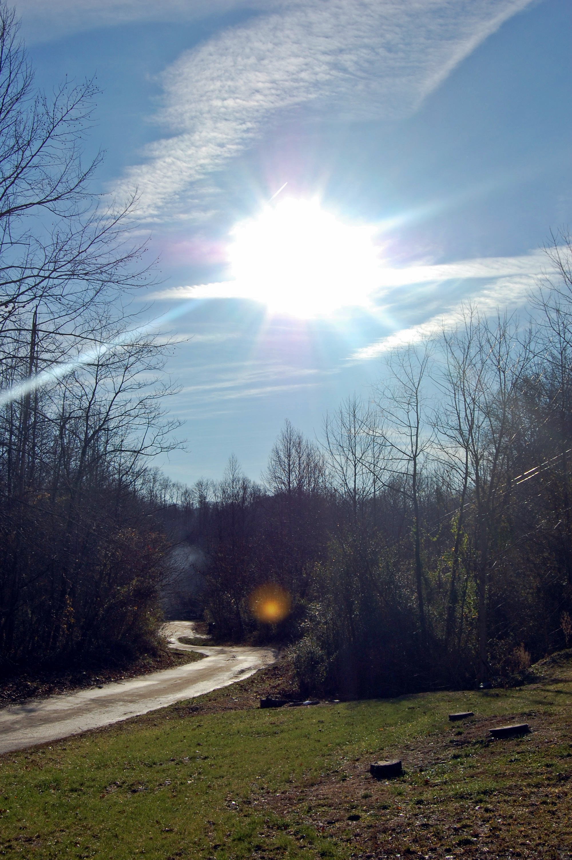
kentucky.
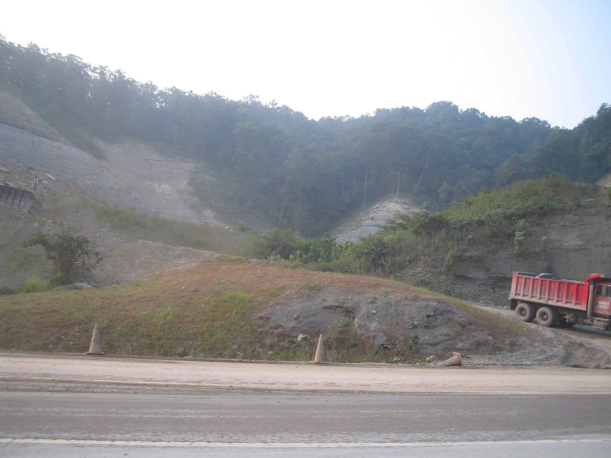
Youthworks 2005 065
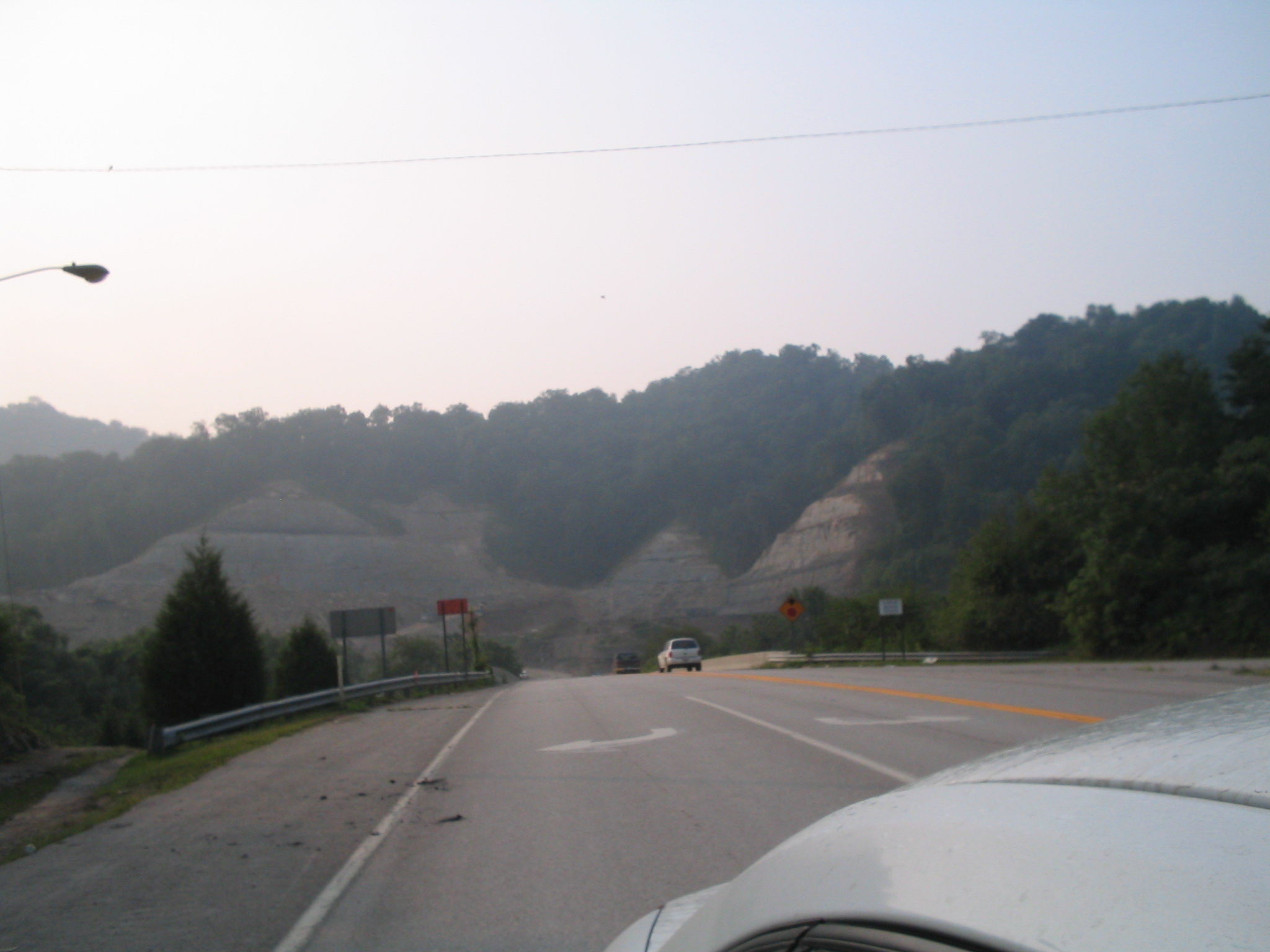
Youthworks 2005 066

Rat rod
Topographic Map of KY-7, Wayland, KY, USA
Find elevation by address:

Places near KY-7, Wayland, KY, USA:
KY-7, Wayland, KY, USA
Wayland
Hueysville
Southern Camp Road
KY-, Eastern, KY, USA
Eastern
Mcdowell
KY-, McDowell, KY, USA
KY-, Printer, KY, USA
KY-, Hueysville, KY, USA
Floyd County
Printer
Barkcamp Road
Dinwood Rd, Martin, KY, USA
KY-, Martin, KY, USA
KY-, David, KY, USA
Martin
Caney Fork Rd, Martin, KY, USA
SE Licking River Rd, Salyersville, KY, USA
164 Cloverfield Branch
Recent Searches:
- Elevation of Corso Fratelli Cairoli, 35, Macerata MC, Italy
- Elevation of Tallevast Rd, Sarasota, FL, USA
- Elevation of 4th St E, Sonoma, CA, USA
- Elevation of Black Hollow Rd, Pennsdale, PA, USA
- Elevation of Oakland Ave, Williamsport, PA, USA
- Elevation of Pedrógão Grande, Portugal
- Elevation of Klee Dr, Martinsburg, WV, USA
- Elevation of Via Roma, Pieranica CR, Italy
- Elevation of Tavkvetili Mountain, Georgia
- Elevation of Hartfords Bluff Cir, Mt Pleasant, SC, USA