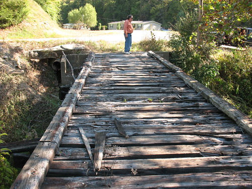
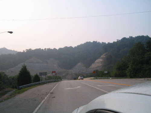
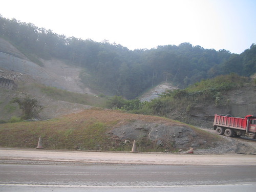
Elevation of Cloverfield Branch, Martin, KY, USA
Location: United States > Kentucky > Floyd County > Martin >
Longitude: -82.845572
Latitude: 37.5926489
Elevation: -10000m / -32808feet
Barometric Pressure: 295KPa
Related Photos:
Topographic Map of Cloverfield Branch, Martin, KY, USA
Find elevation by address:

Places near Cloverfield Branch, Martin, KY, USA:
Caney Fork Rd, Martin, KY, USA
State Hwy, David, KY, USA
KY-, David, KY, USA
David
Floyd County
Eastern
KY-, Eastern, KY, USA
Dinwood Rd, Martin, KY, USA
Southern Camp Road
SE Licking River Rd, Salyersville, KY, USA
Gunlock
Martin
Hueysville
KY-, Martin, KY, USA
Gunlock, KY, USA
KY-, Allen City, KY, USA
River Bottom Rd, Martin, KY, USA
Printer
KY-, Printer, KY, USA
Allen City
Recent Searches:
- Elevation of Village Ln, Finleyville, PA, USA
- Elevation of 24 Oakland Rd #, Scotland, ON N0E 1R0, Canada
- Elevation of Deep Gap Farm Rd E, Mill Spring, NC, USA
- Elevation of Dog Leg Dr, Minden, NV, USA
- Elevation of Dog Leg Dr, Minden, NV, USA
- Elevation of Kambingan Sa Pansol Atbp., Purok 7 Pansol, Candaba, Pampanga, Philippines
- Elevation of Pinewood Dr, New Bern, NC, USA
- Elevation of Mountain View, CA, USA
- Elevation of Foligno, Province of Perugia, Italy
- Elevation of Blauwestad, Netherlands


